Gold Ridge Lookout Site
WillhiteWeb.com
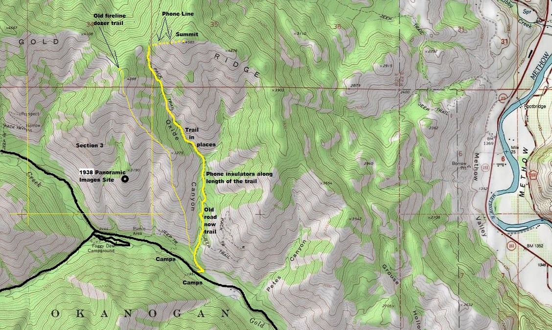
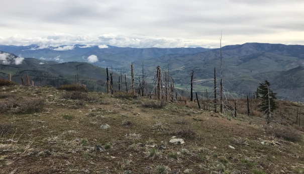
According to the Kresek Inventory, Gold Ridge was a crows nest built in the 1930s that was still there in the 1980s. No elevation was given in the inventory, but the location was said to be in section 3, T31N, 21E (shown as a yellow box on the map). Inside section 3, at about 3,000 feet was the panoramic images taken on November 4, 1938 from the ground, but not a crows nest. (See link below for the details on the photo site).
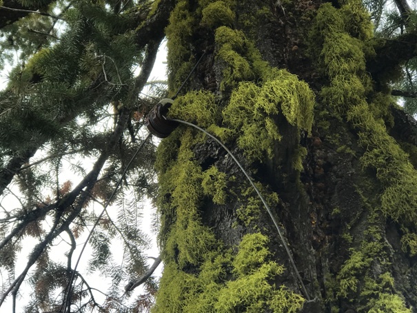
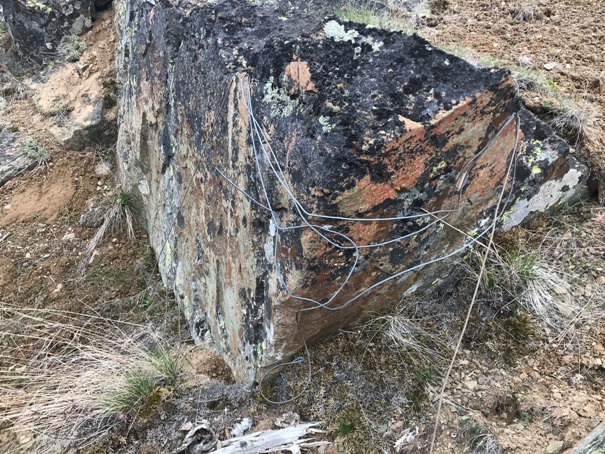
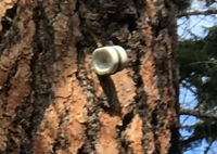
The lookout site (likely the reported crows nest) appears to have been placed on the summit at 4,585 feet. A phone line ran up Oxide Canyon to the ridge saddle, then ran up the ridge to the summit. Much of the phone line still exists near the summit and insulators are still there in Oxide Canyon and on some lone trees near the 4,585 foot summit. It is unclear why the panoramics were taken down low in 1938 if a phone line was going to the summit. The crows nest location and phone line timing are unclear.
Elevation: 4,585 feet
County: Okanogan
Access: Paved
Access:
Take the paved Gold Creek Road to the National Forest Sign. The Oxide Canyon Road leaves from just before the sign (start could be obscured but ATV use evident). For the panoramic site, drive further up the road but before the Foggy Dew Campground intersection and park on the side of the road.
Route:
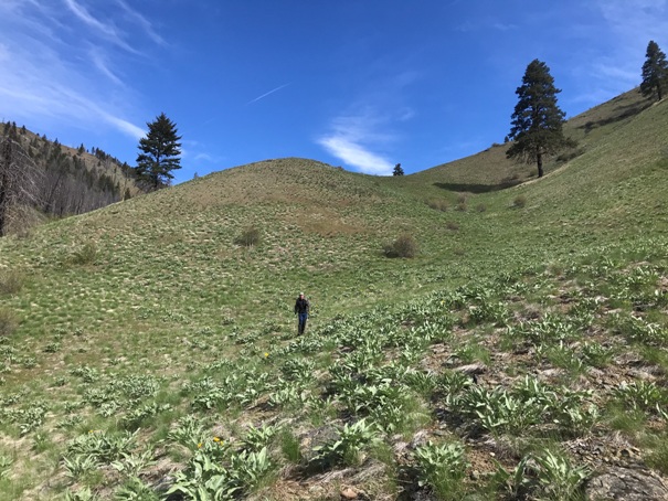
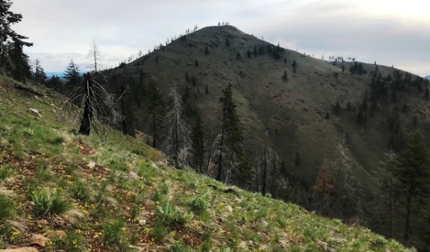
For the panoramic site, just park and start hiking up the hillside directly below the point, climbing about 1,000 feet on easy open terrain. Forested at first, then totally open. For the summit, continue past the panoramic site up the ridge and over a bump or start from the road taking Oxide Canyon. The Canyon is an old road at first (used by ATVs) then becomes faint, disappears at times and would definitely be off trail, even though the tread can be found at times. The country is mostly open and easy to walk, some sidehill walking in the canyon. Reach the saddle and go steeply in open country to the broad summit. You could also just leave the canyon at any point and just start charging up the hill to the summit.
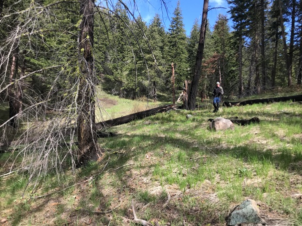
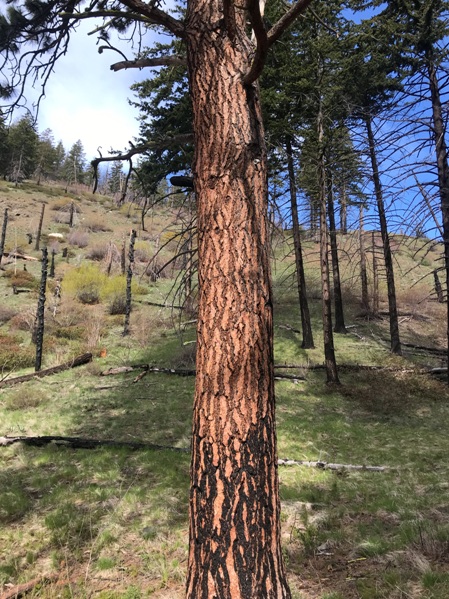
Oxide Canyon has some really large Ponderosa Pine trees that survived a fire. Some of them still have the phone insulators attached.
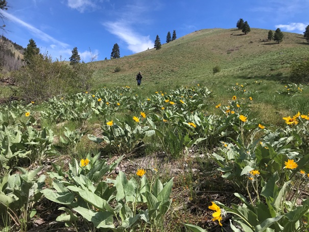
Section of Oxide Canyon with no trees
Section of Oxide Canyon with no trees
Oxide Canyon is mostly open forest
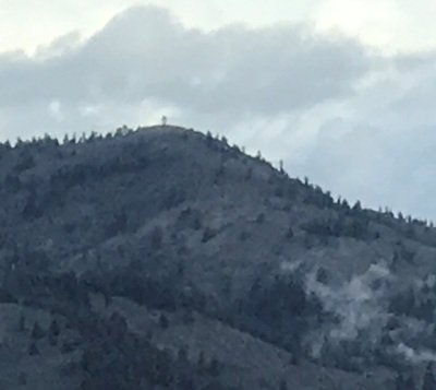
Gold Ridge site from other side of Oxide Canyon well above the panoramic image site
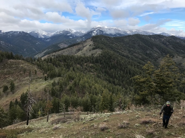
Hiking up to the summit from the Oxide saddle
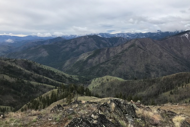
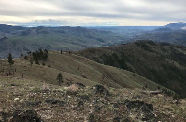
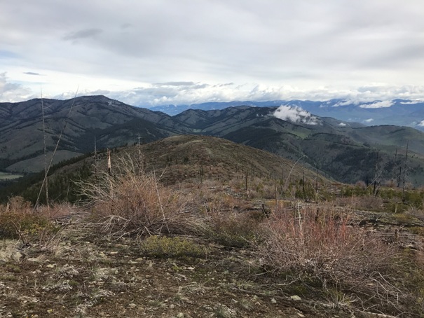
Looking South from the summit
Looking Southeast from the summit
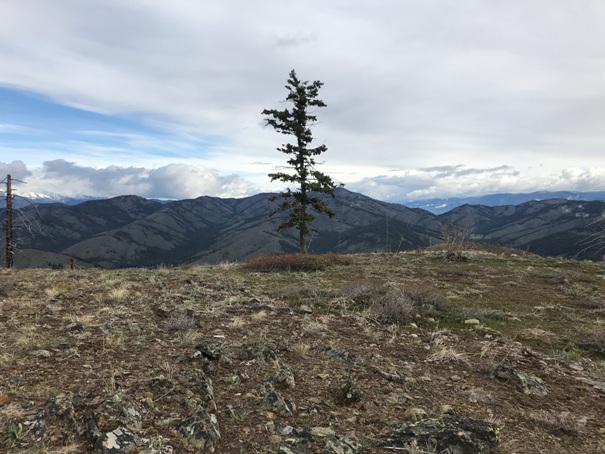
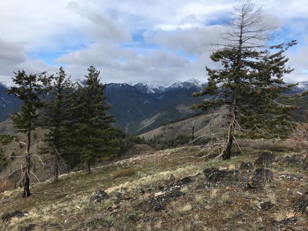
Looking North from the broad summit (that tree would make a good crows nest)
Looking NE toward Twisp
Looking North from the summit (Lookout Mountain and McClure Mountain)
Looking West from the summit
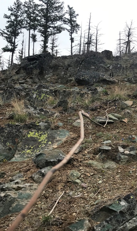
Near the summit, phone line wrapped around a rock
Near the summit, phone line climbing up the mountain
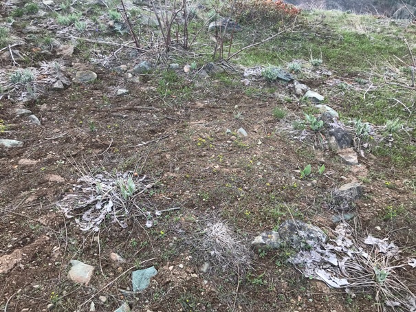
Hard to see but near summit a 5x5 square platform outline made of rocks
Zoom of square area
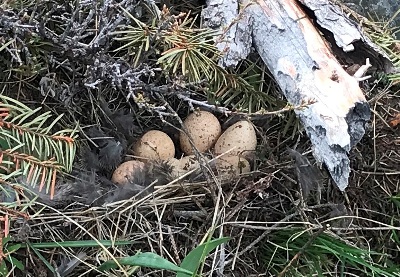
Almost stepped on a grouse that flew off at last second protecting her eggs.
Looking North to the fire lookout on Lookout Mountain
Some of the fun to be had on Gold Ridge
A bit below the summit on the way down to the saddle, we began to pull up sections of the old phone line. Under about a half inch of dirt, it kept bursting up as we tugged on it. At one point, the line popped up and went into a tree. And what did we find in the tree but this hidden insulator.


