Bremer AWS Site
We have a few memos regarding finding an AWS location near Bremer. Documents seem to suggest that Bremer was being established as a winter observation station for the West Fork and Alpha AWS stations.
A hilltop location was suggestion by the District Ranger Mr. Vallad in S31 T13N R4E. (Today we call this Fling Mountain). His memo said his location would be very satisfactory. He sent a picture and map to his supervisor and also said he thought the location would also make a good fire lookout. The location would be easy and is simply a matter of placing the responsibility on either the State or the Forest Service to handle. There is a road to the Bremer L.O., as there was a tie mill located at this point. It might need some maintenance work. A phone line could be built down the hill a mile or two to the road. (August 25, 1942)
A response two days later on August 27 was as follows:
The location near Bremer proposed by Mr. Vallad was discussed with Mr. Carroll and representatives of the Army yesterday. We agreed that it was probably too close to West Fork. Mr. Carroll is planning on going into that locality with Ranger Vallad tomorrow to see if it is not possible to get a suitable point further west.
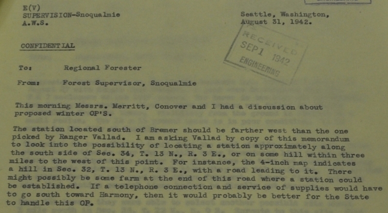
Four days later on August 31, 1942
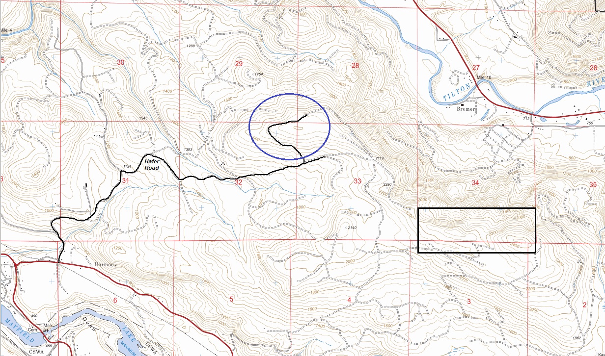
The station located south of Bremer (aka Fling Mountain) should be farther west than the one picked by Ranger Vallad. I am asking Vallad to look into the possibility of locating a station approximately along the south side of Sec. 34, T13N, R3E., or on some hill within three miles to the west of this point. For instance, the 4-inch map indicates a hill in Sec. 32, T13N, R3E., with a road leading to it. There might possibly be some farm at the end of this road where a station could be established. If a telephone connection and service of supplies would have to go south toward Harmony, then it would probably be better for the State to handle this OP.
A few weeks later on September 18, 1942
Mr. Plumb the Forest Supervisor to Mr. Merritt the Liaison Officer
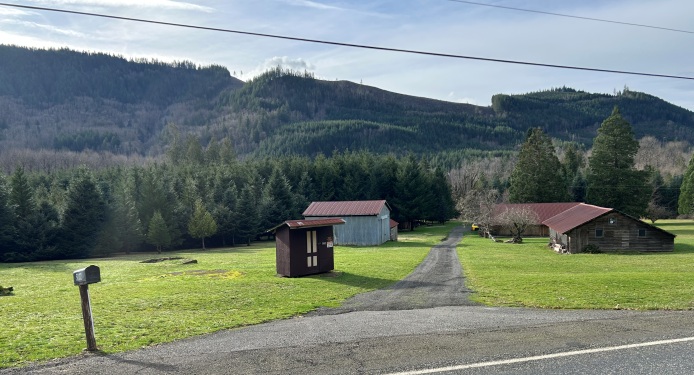
On September 15 I visited Bremer and Cinnabar with District Ranger Vallad. We were able to locate a satisfactory place at Bremer which would cover the area alongside the Mineral addition and connect up with the area seen from Alpha and that from West Fork. This station would be manned by the woman owning the farm and a neighbor woman. She would like to utilize the services of her son who is 16.5 years of age and who apparently is not going back to school this winter. They could use the present dwelling. Approximately 6 miles of grounded line would have to be built to connect with the telephone office at Morton. If you wish us to go ahead and establish this station, please advise as we should build this phone line before completing the one to National.
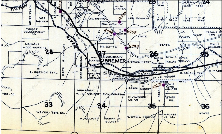
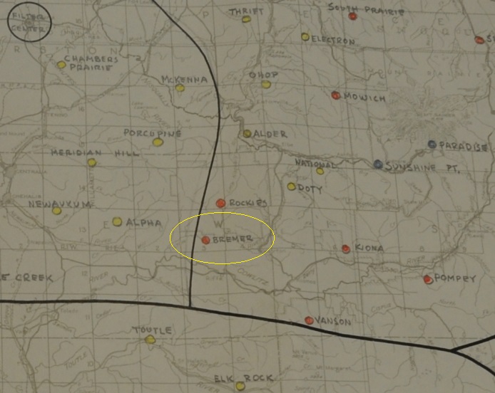
Although this memo did not give the location of this farm in Bremer, we do have a list of AWS stations dated in December of 1942 and it shows Bremer being established October 8, 1842 with the location being in the community of Bremer, among the farms there.
September 3, 1943
For an unknown reason the site lease expired or was canceled after about a year. An alternate location was explored. The new location was picked was the Riffe Hill AWS site. It was activated on September 3, 1943 the same day that Bremer was deactivated.
A May 1, 1944 final report of AWS Stations gives us this information:
Location: Snoqualmie N.F.
Station is on: Private Land (Cmp, leases now canceled)
Status: Private development with no AWS funds involved.
Recommended for: Abandon (no AWS involved).
Date inactivated: 9/3/43 Remarks: Very little AWS involved.
WillhiteWeb.com


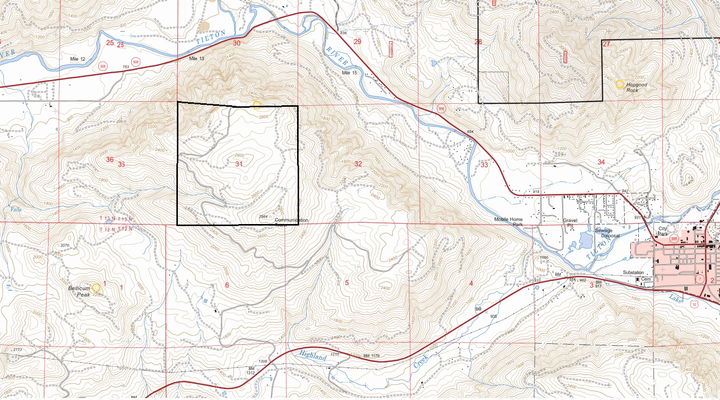


Showing Section 31, the hilltop location proposed by District Ranger Mr. Vallad
2 locations further West that the AWS was asking about that would be better alternatives.
AWS map showing the location of Bremer
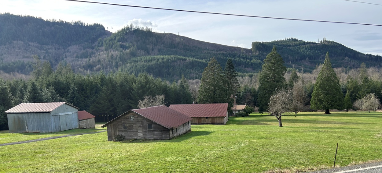
Bremer from the highway
Bremer location with lots of trees growing where it was once much more open fields
TO
BREMER
Bremer in the SW 1/4 of section 27, T13N, R3W
In the end, they picked Bremer in the SW 1/4 of section 27, T13N, R3W
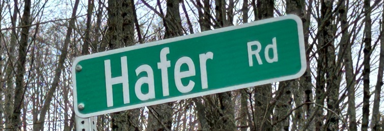
Hafer Road goes up to the old proposed area
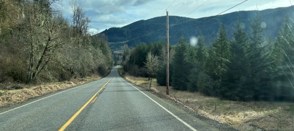
Driving next to Bremer on highway
1948 Metsker map showing landowners in Bremer in section 27
Showing that AWS site was on private land using a private lease and a building that they did not have to construct, no AWS funds were involved.


