Fling Mountain and Hopkins Hill
Elevation: 2,880 feet
Prominence: 1,720 feet
Hiking Distance: 2 miles one-way
Elevation Gain: 900 feet
Access: Any vehicle
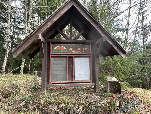
Fling Mountain is a low elevation mountain but a very prominent mountain as it rises between the Cowlitz River Valley and the Tilton River Valley. There are few redeeming qualities about this mountain. In fact, as you beat the bush to reach the summit, the only hope you have for this adventure being of any worth is that you find the dead body of DB Cooper. The mountain was considered as a fire lookout during WWII when local land managers were trying to decide where to put aircraft warning stations, but it was nothing serious, just a suggestion really and one guy that had taken a picture from the mountain. He also said there was a tie mill at the top (maybe for railroad ties). Another interesting piece of history is the access road. Short Road is paved nearly to the gate thanks to an old Mt. St. Helens viewing area on the side of the mountain. The Hopkins Hill viewpoint once had a direct view 24 miles to the crater but today the view is completely overgrown. According to a local I talked with at the gate about the sign, there was even plans by an individual to build a restaurant there that had a view of the mountain.
WillhiteWeb.com
Route:
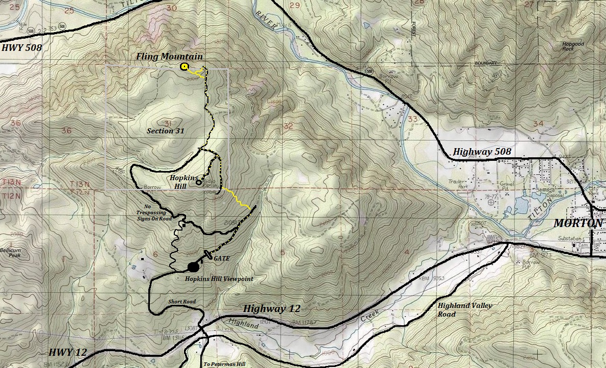
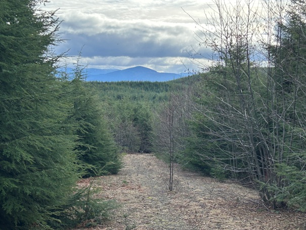
The best route with no negative signs is a bushwhack for much of the route. Unfortunately, the clear-cut that once made the route tolerable, is now growing with trees and starting to fill in all the gaps. By 2026, this route will be a nightmare until 2040s when you can walk under the new canopy. The upper part of the route follows roads that have been abandoned for now. Some of the roads are open and easy, other sections of road are completely filling in with alder trees. The summit area sucks really bad too as of 2024 with growing 10 foot high trees (logged in 2010).
Access:
Around 5 miles west of Morton is Short Road. Drive up to the large viewing area. Past the viewing area, past one homesite, is a large gate with parking for one or two. As of 2024, there was no signs on the gate with negative signage.
Hopkins Hill Radio Facility:
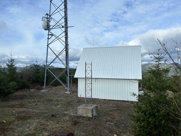
Along the way you pass a side road to a radio facility. There you can find some overgrowing views. This bump has 200 feet of prominence. E.W. Hopkins was an early landowner, owning all of section 5. Although this bump is just outside of section 5, the name Hopkins Hill was either this bump or a bump in section 5. It was a local name so no maps show what exactly everyone was calling Hopkins Hill.
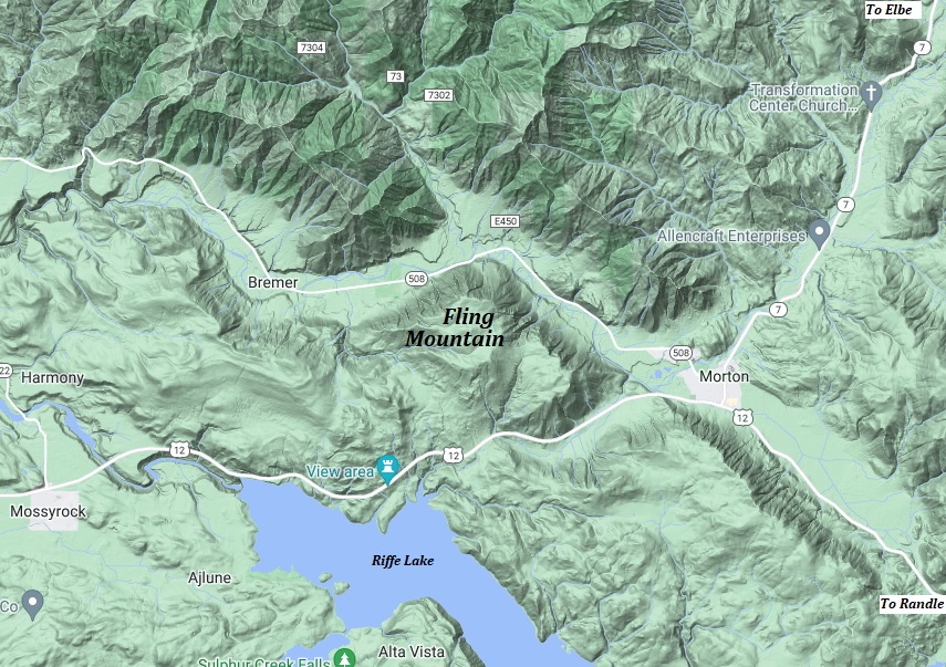



Location of Fling Mountain west of Morton
Hopkins Hill Mt. St. Helens Viewpoint
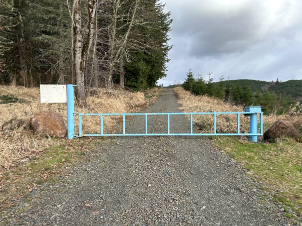
Gate at the end of Short Road
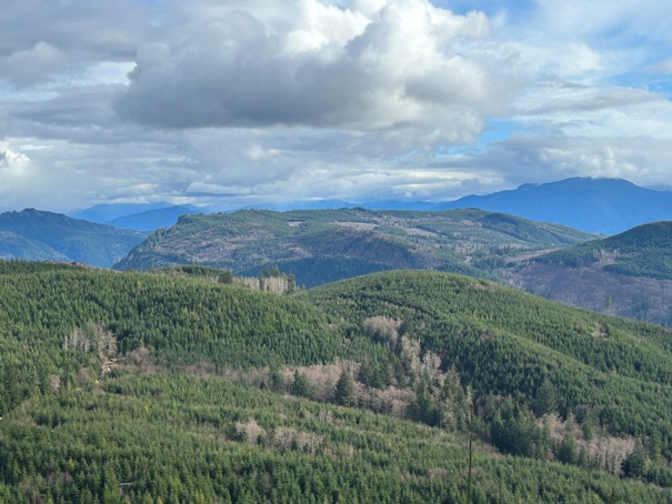
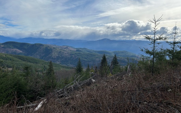
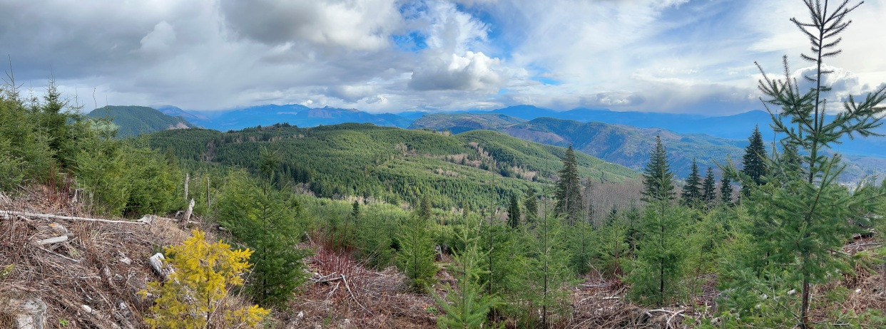
Looking East from old road just below Hopkins Hill communication towers
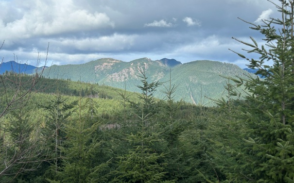
Zooming in to the east
From Hopkins Hill, looking north to the flatish summit of Fling Mountain, just 16 or so feet higher.
From Hopkins Hill, looking south across Riffe Lake into the St. Helens Tree Farm.
Peterman Ridge with Winters Mountain in the distance
Winters Mountain
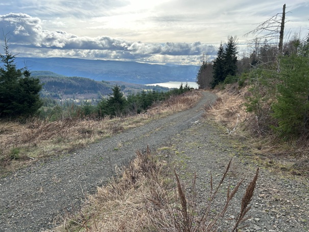
Walking the road just above the gate looking back at Riffe Lake
Tower at Hopkins Hill
Views NE
Peterman Hill highpoint known as Cottlers Rock and Shelton Benchmark


