
WillhiteWeb.com

Spencer Island
Hiking Distance: 2 to 3 miles
Elevation Gain: Zero
Access: Paved
Directions: Ask phone to direct to Langus Riverfront Park
I had high hopes for this hike. I have been reading about Spencer Island in books and trip reports for over 20 years. What I found was quite disappointing as a hiking destination.
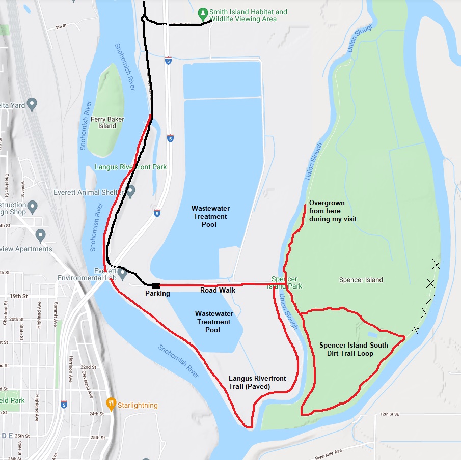
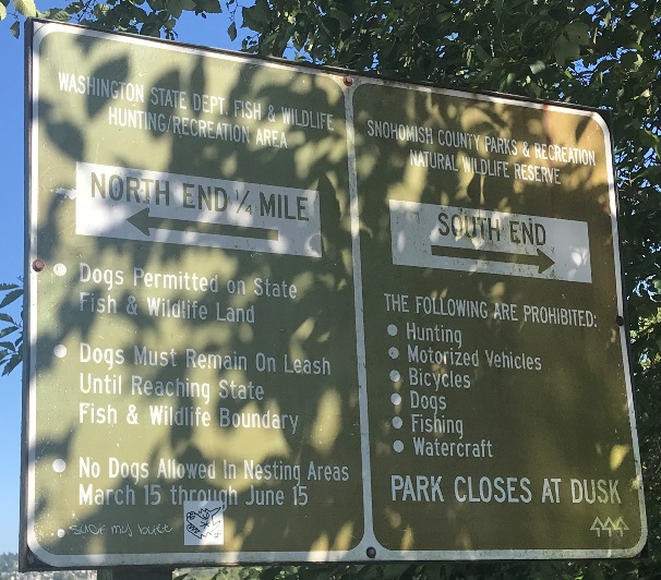
The island is divided into a north end and a south end. The North end is owned by the Washington State Department of Fish and Wildlife and open for hunting during certain months of the year. The South end is owned by the Snohomish County Parks and Recreation and not open to hunting. It seems the two-ownership method is a bad mix here as hikers and hunters have two different objectives.
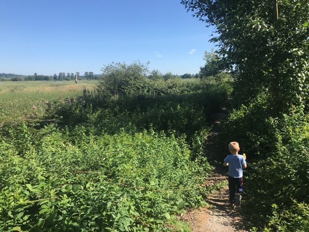
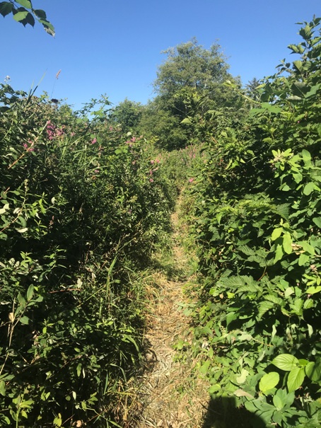
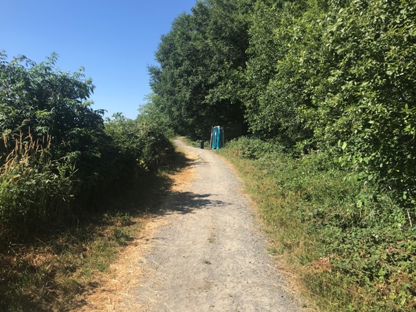
Older hiking guides show all kinds of levee trails that no longer exist, especially the northern loop. It seems the Washington Dept of Fish and Wildlife have abandoned efforts to maintain this loop. It is always possible a group might improve the trail but given the northern loop is open for hunting, it is unlikely, as most groups would want this loop to remain inaccessible. The southern route was very overgrown but passable during my visit.

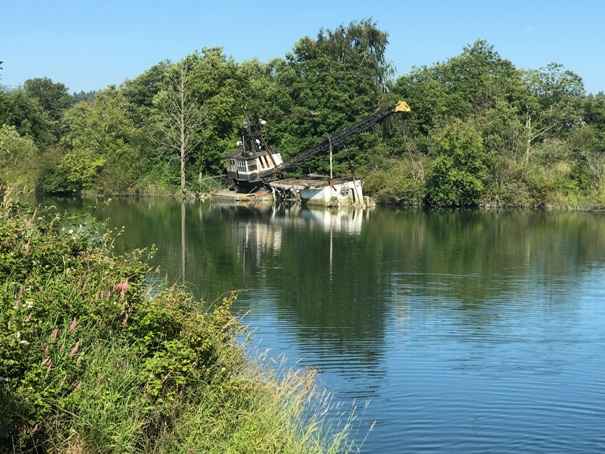
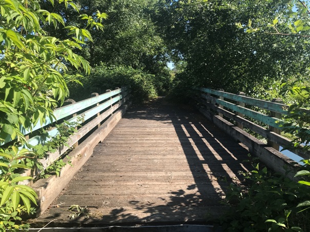
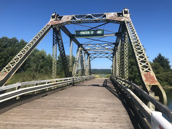
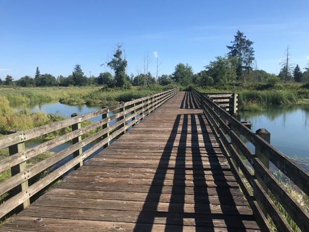
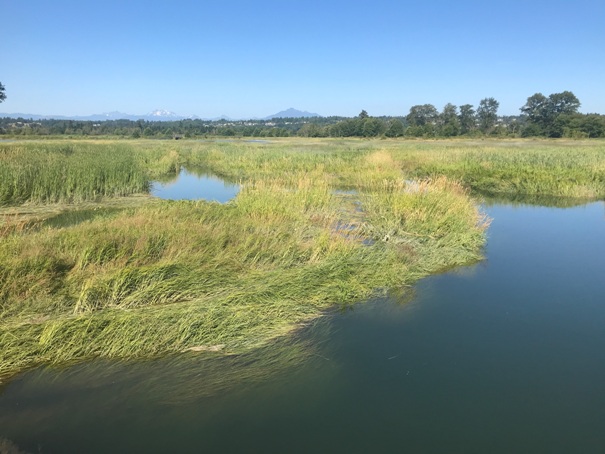
Bridge to Spencer Island
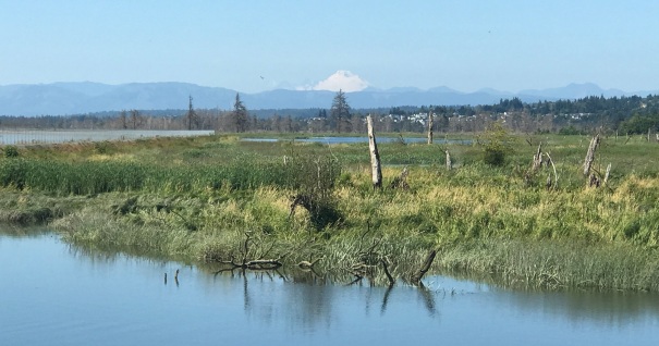
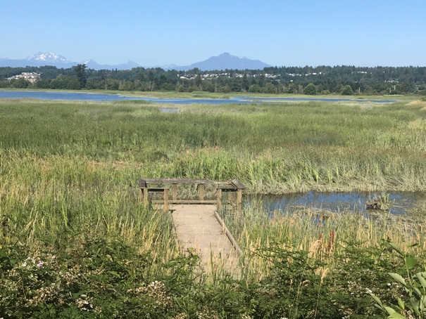
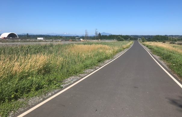
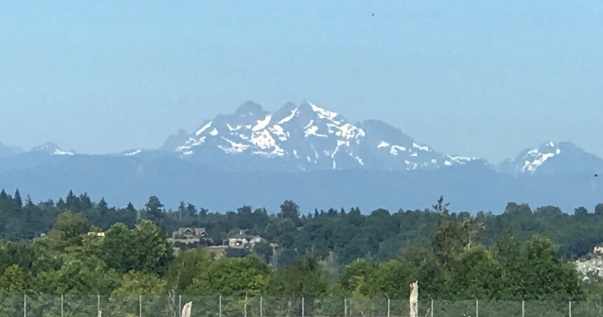
Mount Baker in distance
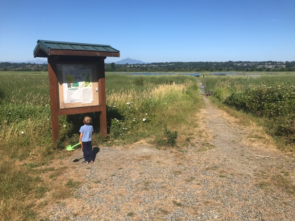
Trail Kiosk
North end trail
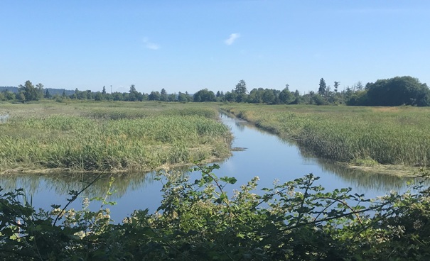
There are numerous viewing platforms but they were too overgrown to reach
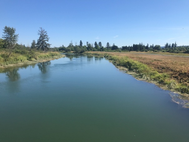
Crossing Union Slough
Three Fingers Mountain
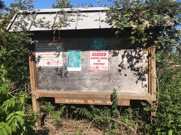
Sign once you reach Spencer Island
Overgrowing trails


