West Boundary Trail to Alki Crest
WillhiteWeb.com
Hiking Distance: 3.5 miles one-way
Elevation Gain: 2,700 feet
Access: Paved
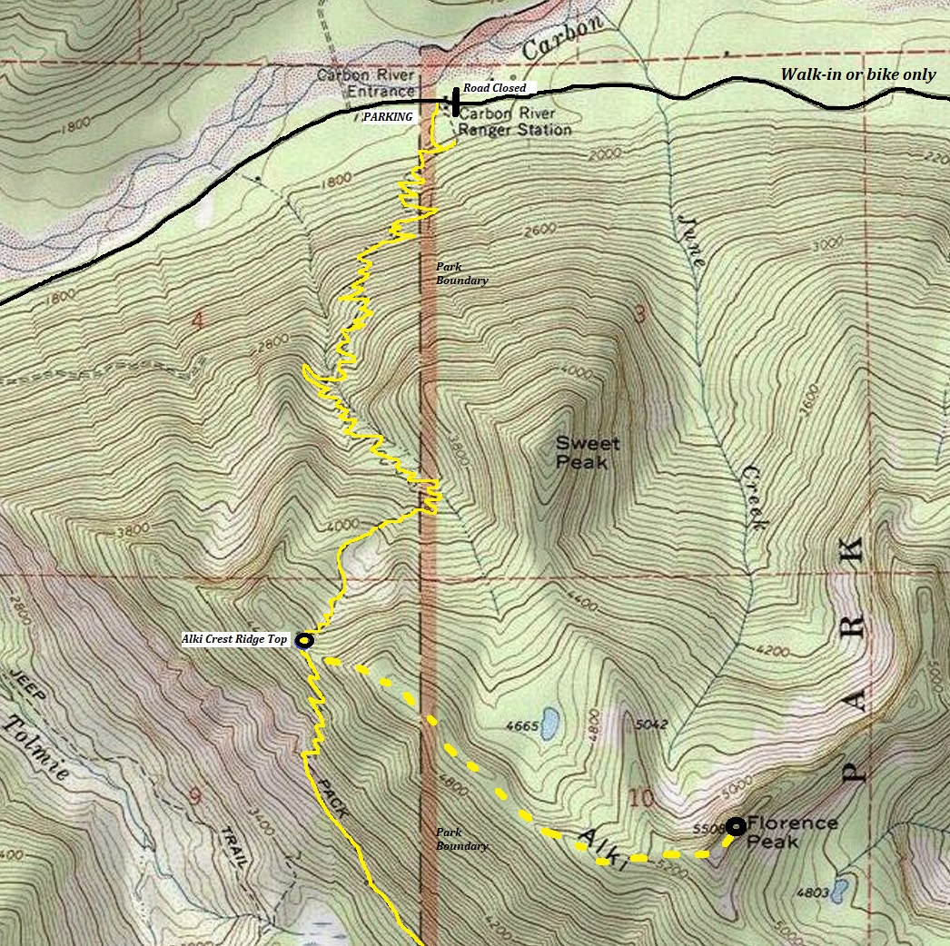
The Carbon River Entrance to Mt. Rainier National Park is known for its long flat road walk due to the road being washed out. For something more challenging, the old Boundary Trail is right at the entrance and climbs a nice forest up over 2,500 feet to Alki Crest. One can continue on the Boundary Trail or stay on Alki Crest and head to Florance Peak.
Access:
Route:
Go to the Carbon River Entrance of Mt. Rainier National Park.
At the entrance station is a 0.3 mile Nature Loop Trail. Take this trail. The park does not advertise the West Boundary Trail, probably to keep unsuspecting tourists from starting up a trail that does nothing but switchback up 3.5 miles to no view. After about 3 minutes on the Nature Loop is an intersection. Go right and you are now on the Boundary Trail. It will start climbing as soon as you are off the Nature Loop. Just follow the trail, it is mostly just outside the National Park boundary although it crosses the line once or twice.
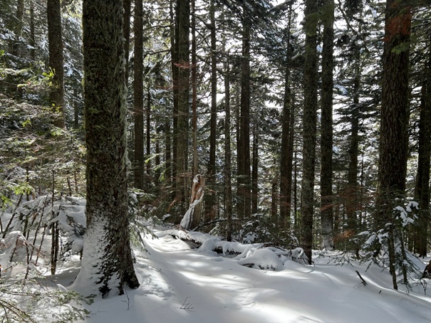
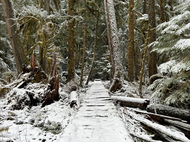
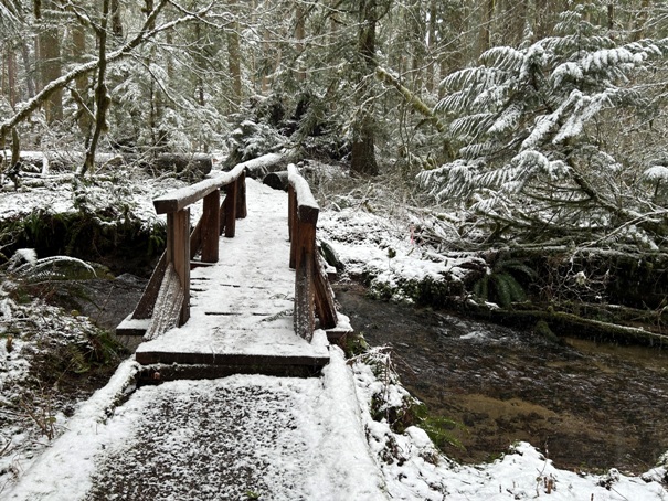
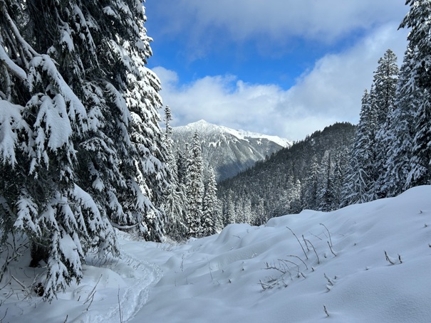
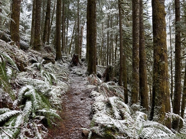
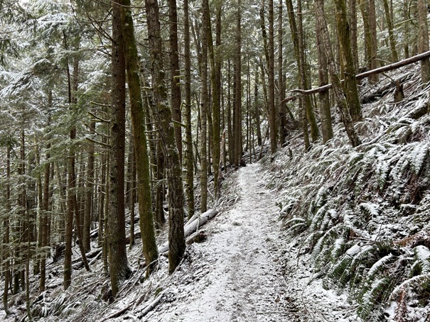
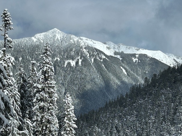
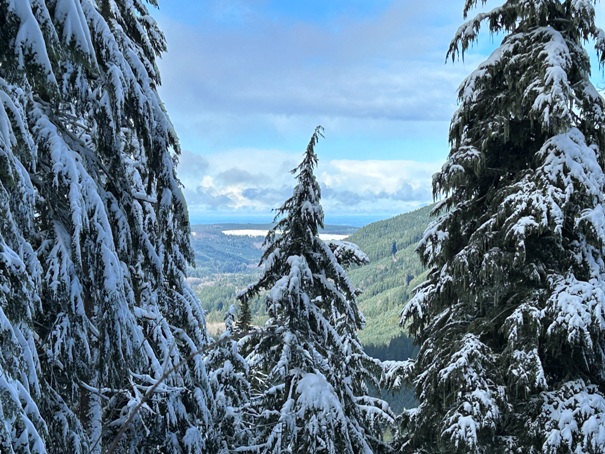

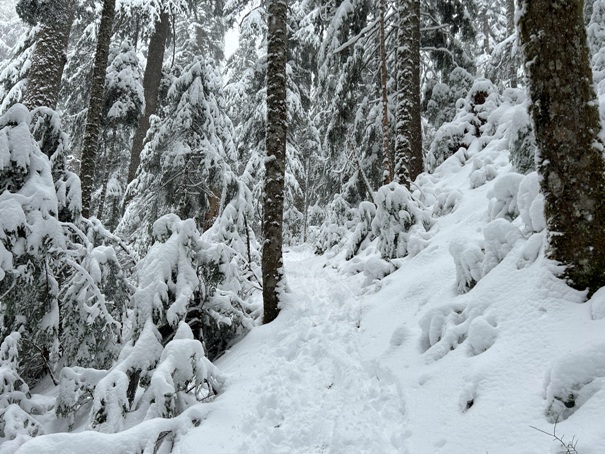
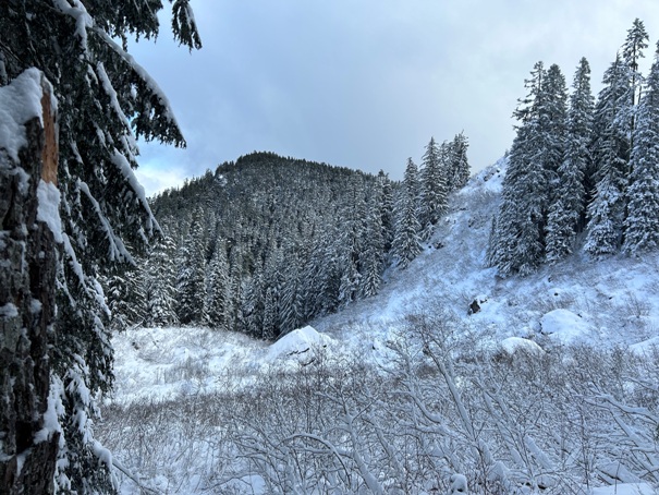
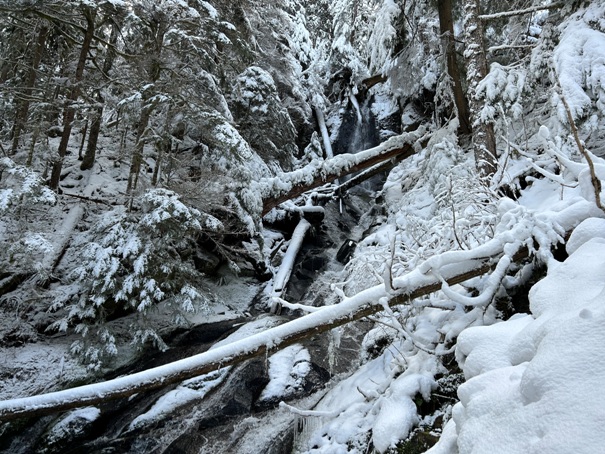
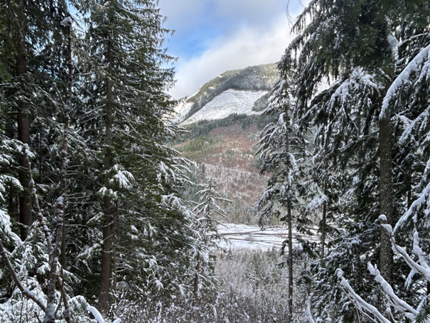
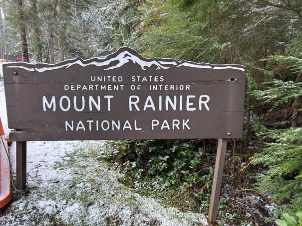
A good hike when the snow level drops low (starts at 1,780 feet)
Take this trail
Nature Loop Trail
Nature Loop Trail
West Boundary Trail
West Boundary Trail
Waterfall along the trail
Small gap in trees gives a view
Snow getting deep but easy to follow trail
View out toward Puget Sound
Sweet Peak
Old Baldy Mountain
Trail at Alki Crest
Trail skirts an open area just before reaching Alki Crest


