Kyes Peak
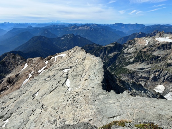
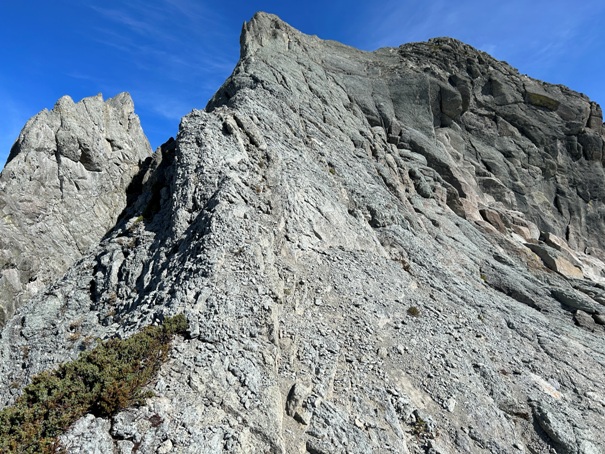
Keys is one of the highest peaks in the Monte Cristo group. It is a good long day of mixed mountaineering without too much difficulty. The main route is on a ridge that requires a lot of traversing across heather slopes but enough people are using the route these days that decent climber trails have been established. The final summit block looks very intimidating until you are attempting it, at which time you find some pretty nice foot holds in a large crack with easy climbing. Still, there is exposure, especially if you are on the spine. The section is definitely exposed class three. Approaching the summit block, you climb over nice slab rock that had a small ice remnant pocket that is almost gone now.
WillhiteWeb.com
Elevation: 7,280 feet
Hiking Distance: 6.5 miles one-way
Elevation Gain: 6,000+ feet (round trip)
Prominence: 1,720 feet
Class 3 (summit block)
Access:
Take Highway 2 east about 22 miles from Monroe. Turn left at the Index sign and follow the road 15 miles to FR 63 on the left. If the pavement ends, you went too far. Follow FR 63 for 2 miles to a split. Go up hill left, the tail head is a the top of the hill. The parking lot is full most weekends so go early or midweek. There is a privy and picnic table so the Forest Service can enforce a parking pass.
Route thoughts:
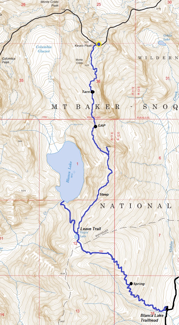
Download a route off peakbagger for your phone. The 30 or so switchbacks up the first 3,000 feet are well built making much of the gain go quick. The ridge trail breaking off the main trail just past Virgin Lake is faint in places but mostly easy to follow through forest. One section is quite steep requiring grabbing many branches as holding anchors as you climb. Decent views along the route here and there. Avoid the route if wet, your enjoyment level will be low if wet tread and brush.
The massif was once mapped as Goblin Peak and earlier referred to as Mt. Michigan by miners and the Forest Service.
Some History:
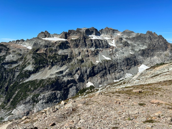
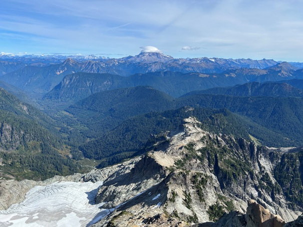
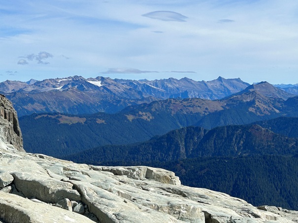
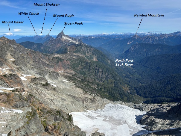
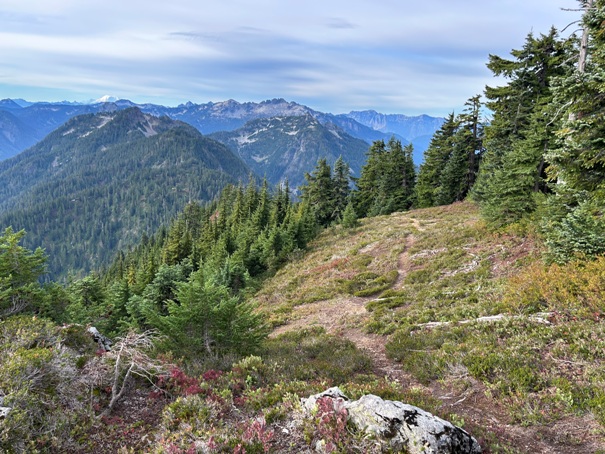
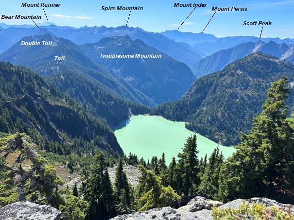
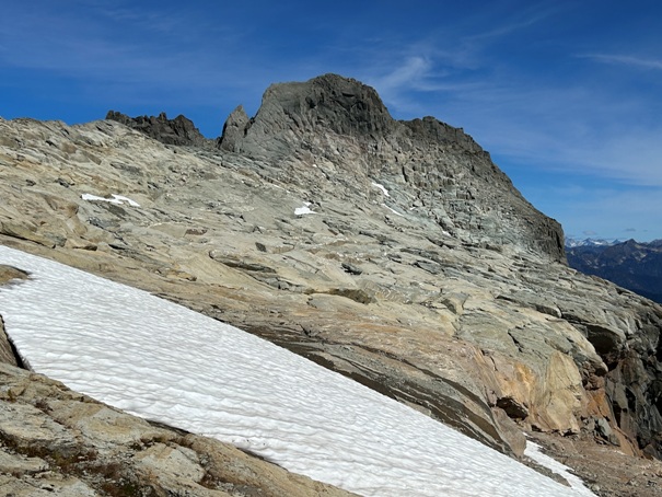
Nice section of ridge trail above Virgin Lake
On ridge with view of Columbia Peak and Kyes Peak
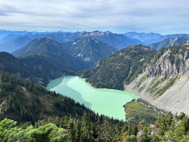
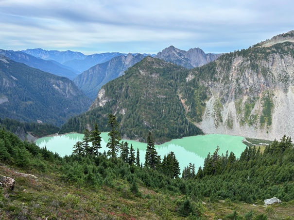
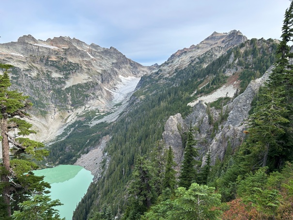
Blanca Lake
Looking South
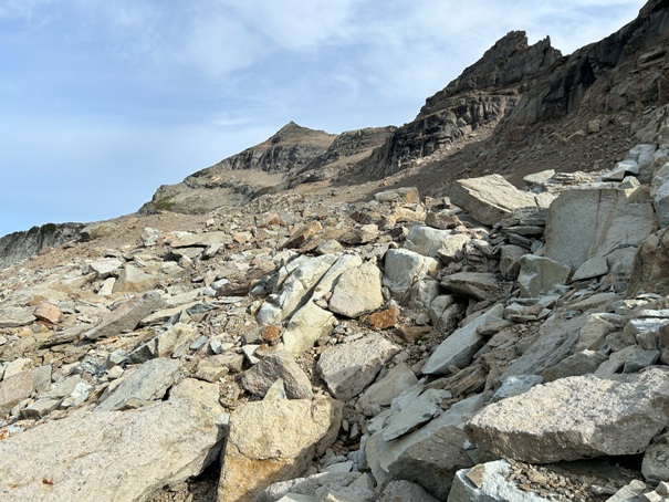
Out of the trees on the upward traverse across this boulder field
Columbia Peak
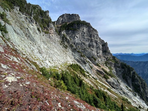
Lower cliffs of Kyes Peak
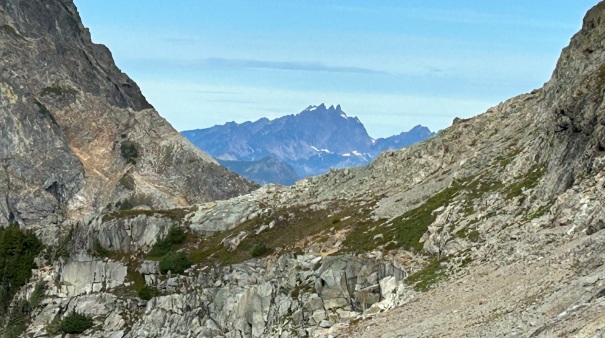
Three Fingers Mountain through the gap between Columbia and Kyes
The final route up to the summit
The upper and final slopes to the summit of Kyes Peak
Glacier Peak Wilderness
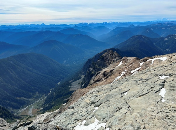
Other Monte Cristo Peaks from the summit
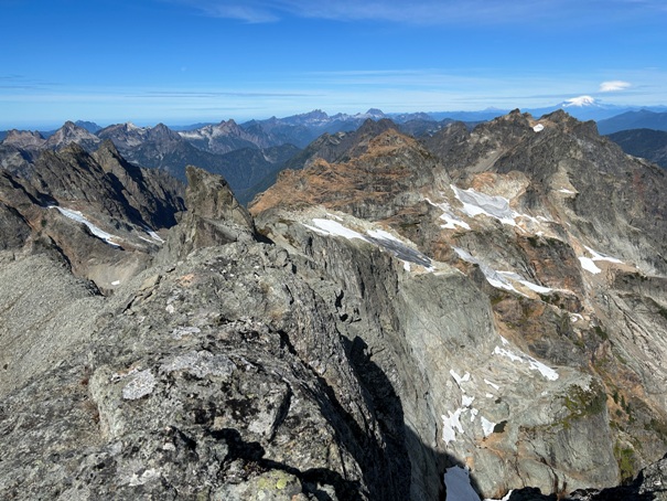
Glacier Peak with whitecap from the summit of Kyes Peak
Looking north from the summit of Kyes Peak
SE view from the summit
SW view from the summit
Traversing heather slopes


