Elevation: 6,167 feet
Hiking Distance: 4.5 miles
Elevation Gain: 4,000 feet
Access: Paved Road
Visited: 2022
A popular hike with a somewhat maintained trail to the summit. This mountain was previously called Squaw Peak. With easy access and low avalanche potential, this is a good hike for most seasons.
Access:
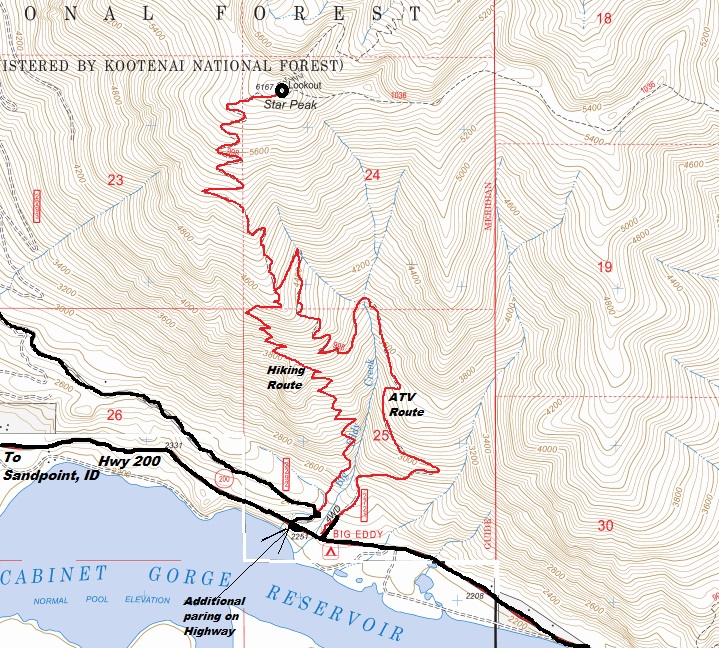
If parking is full on Fatman Road in the limited spaces, just park in the big open lot down on the other side of the highway.
WillhiteWeb.com
Lookout History:
In 1906, the site was an unimproved observation point.
In 1907, the first forest lookout on the then Cabinet National Forest (and in the state of Montana) camped in a tent just below the summit.
In 1908, a trail from Bull River and Star gulch was built to the summit. A phone line was also built.
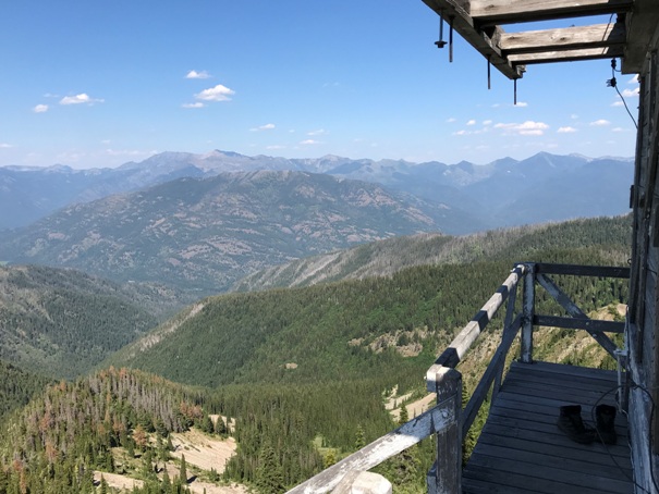
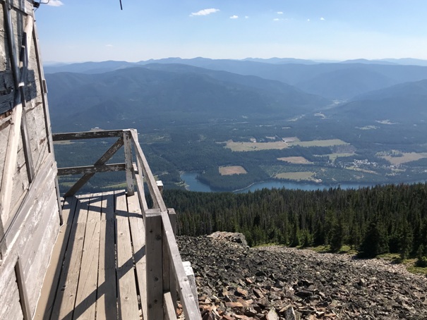
In 1909, the forest guard at the lookout was James Berray. Early in the season, he was the first to discover three fires in the Coeur d'Alene forest and one in the valley near Noxon, outside of the Cabinet forest boundaries. He reported many others as the season went on and in October, Supervisor R.H. Bushnell upon a visit declared it an ideal lookout station during the fire season. He said the entire Clarks Fork Valley from Sandpoint on the west to the Blue Slide on the east, was easily visible from its top and also affords a splendid view of the Elk creek, Pilgrim creek and Bull river valleys.
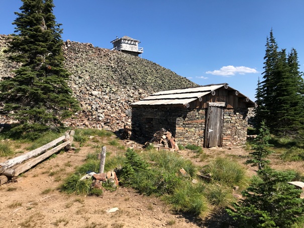
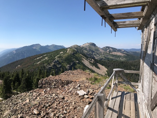
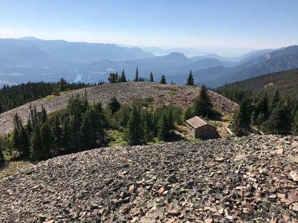
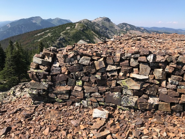
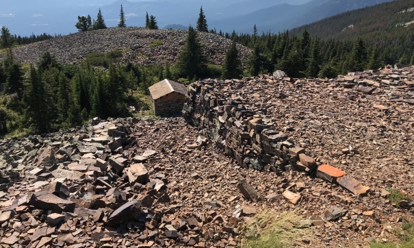
In 1910, Noxons first ranger, Granville (Granny) Gordon and his wife Pauline built the stone cabin that still stands at the edge of the talus just below the summit. A pillar of rocks was piled for use as the observation post.
In 1912, the lookout was Sam Shafer.
In 1915, the lookout was Mr. Hudson, a student at Missoula.
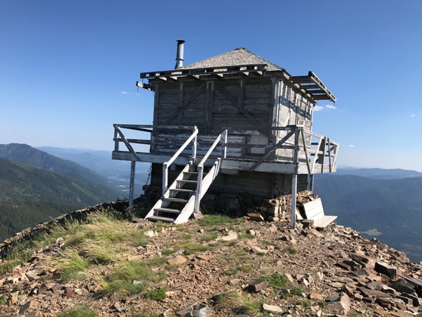
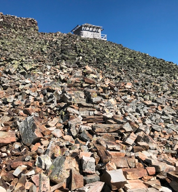
In 1930, a R-1 gable roof L-4 ground cab was built on the summit.
In 1950, the lookout was Jim Brooks.
In 1952, the present L-4 cab was built. (also see 1956)
In 1956, the lookouts were Mr. and Mrs. Earl Robinette from Nebraska. The present lookout was built this year according to the Sandpoint News-Bulletin.
In 1963, the lookouts were Mr. and Mrs. David Runkle. David had also been the lookout during the last few weeks of 1962. Midway during their 1963 season, they were flown by helicopter to Sandpoint when Mrs. Runkle needed medical attention following a spider bite. They were back at the lookout within a week. At the end of the season, they returned to Spokane for classes at a Spokane Trade school.
In 1966, the lookout was Miss Laura Harker. She continued in 1957 with only 50 visitors all summer and she never took a break. In 1958, she continued only coming down in October after some heavy rains.
In 1970, the lookout was Mary Ballenger
In 2004, the peak was renamed Star Mountain.
Route:
A nice trail goes from just above the highway to the summit. There is also an ATV trail that goes about halfway up the mountain before stopping and then joining the hiking only trail (see map).
Star Peak Lookout
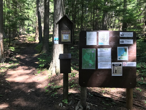



Trailhead
Historic Name: Squaw Peak
Star Peak Lookout in 2022
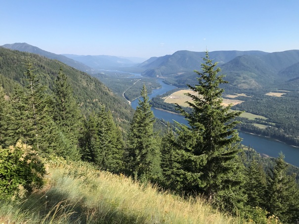
Clark Fork River looking Southeast
The stone cabin and the lookout
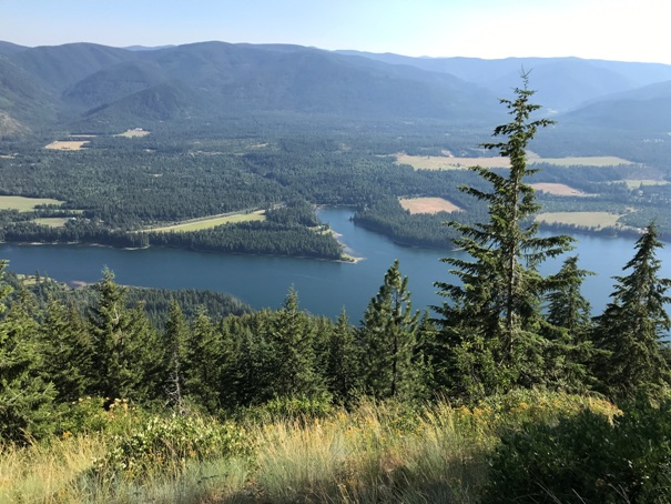
Cabinet Gorge Reservor
NE to the Cabinet Mountains Wilderness
Looking West toward Sandpoint
Nice rock platform
Billiard Table looks like an easy traverse
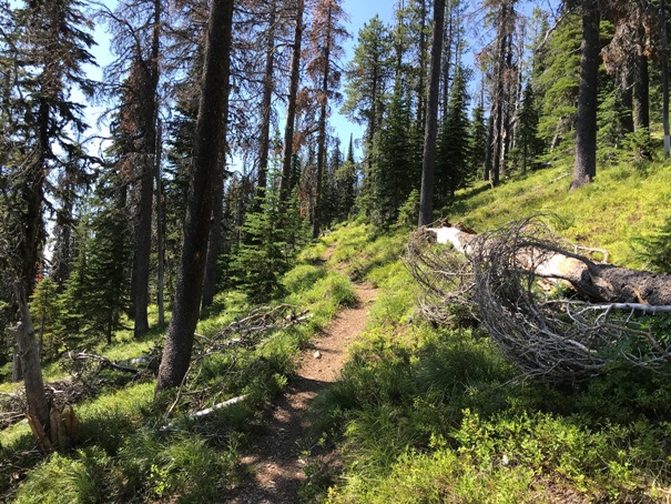
Trail on the last mile
The flats around Elk Creek
Looking toward Idaho and the Kootenai National Forest
Peaks in the Cabinet Mountains Wilderness
Looking Southeast
Steps made in the talus all the way from the cabin to the lookout building.
Two options but it is foot trail only once the 2 trails merge


