WillhiteWeb.com
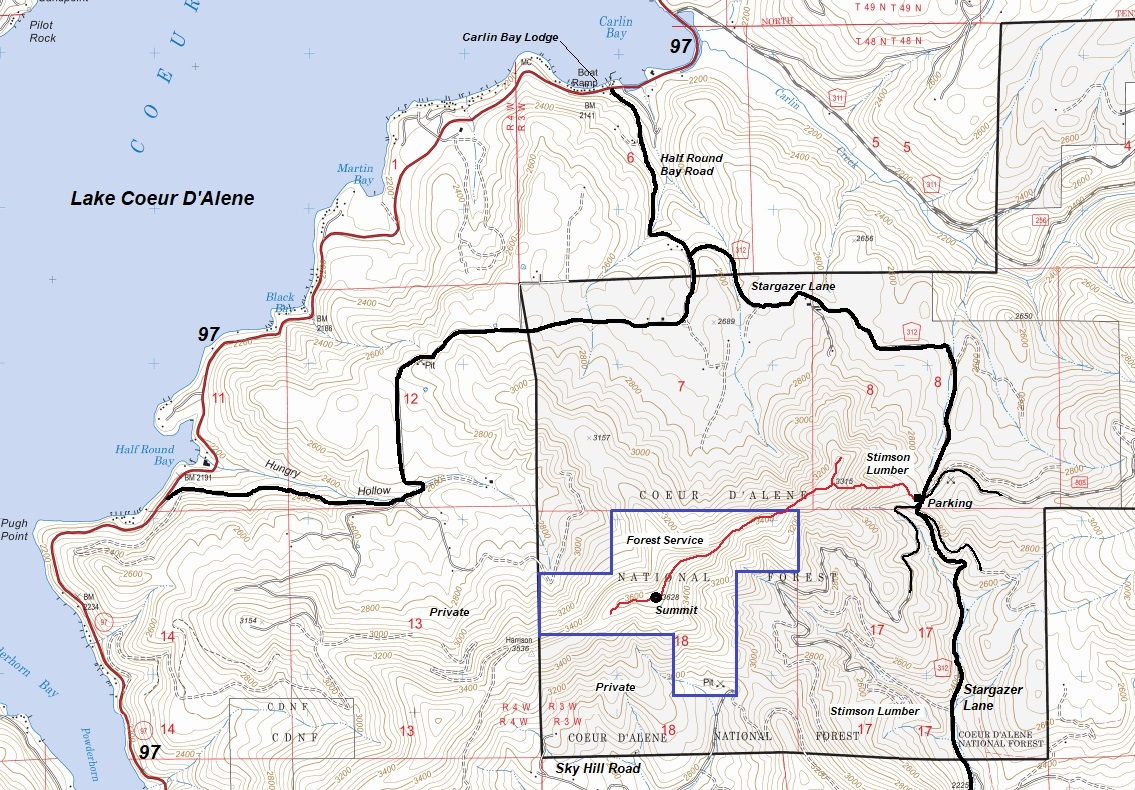
In 1934 there was a crows nest. It was abandoned in 1935 (Kresek). I searched all along the ridge for any signs of a camp or tree used for observation. I did not find anything. As shown on my map below, I also checked a few knobs that were lesser summits incase the observations were not being taken from the summit.
Lookout History
Summit Elevation: 3,628 on maps (3,650 feet on lookout inventory)
Hiking Distance: 1.5 miles
Elevation Gain: 1,000 feet
Prominence: 808 feet
County: Kootenai
Sky Hill
Located on an isolated parcel of National Forest land, Sky Hill is a low elevation destination that should be reachable most of the year. Access is best from the pass on Skygazer Lane. The route starts with private timberlands but they have an agreement for non-motorized access with the public.
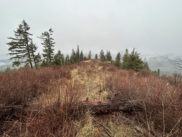
A motorcycle trail shoots directly up the ridge from the pass. Once on the summit ridge, just follow a hunter and game trail to the false summit, then over to the true summit. There is some brush near the true summit to deal with.
Route:
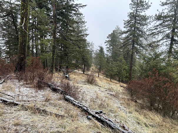
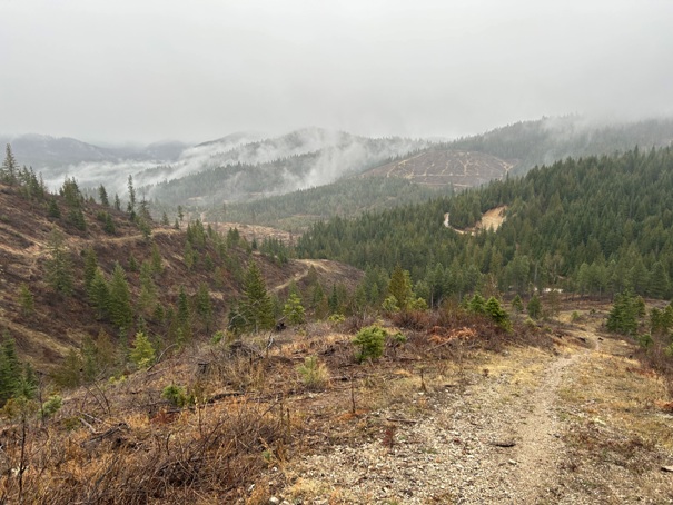
Hiking up the motorcycle trail
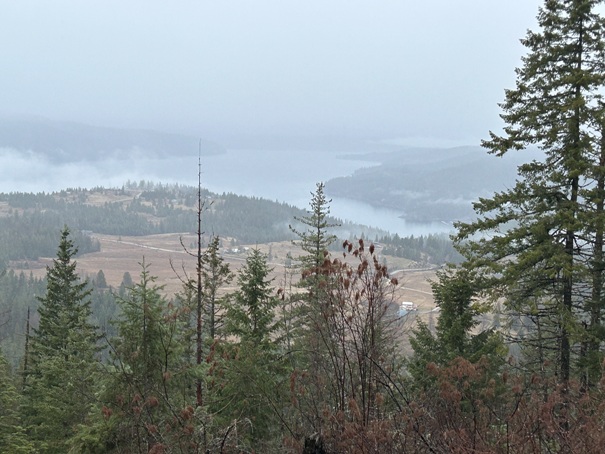
Lake Coeur D'Alene
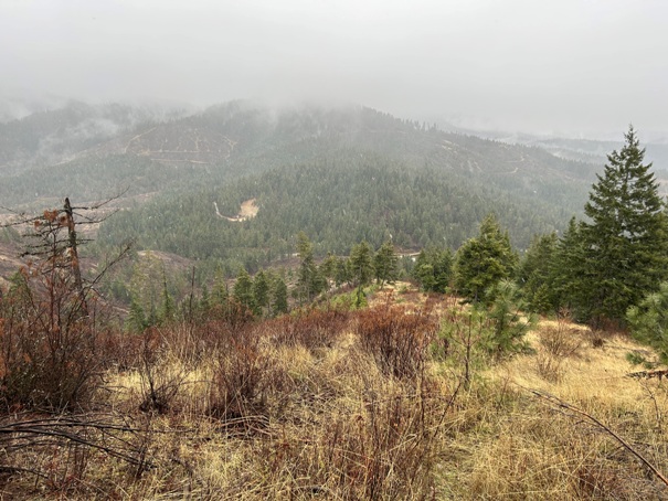
Looking down to the pass on way up
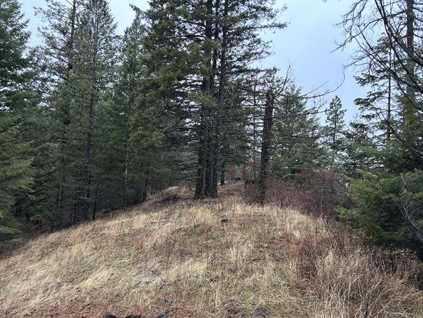
Checked out this lower knob but found nothing.
On the ridge to the summit
Hiking on the ridge
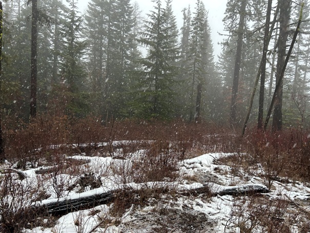
Summit area


