WillhiteWeb.com
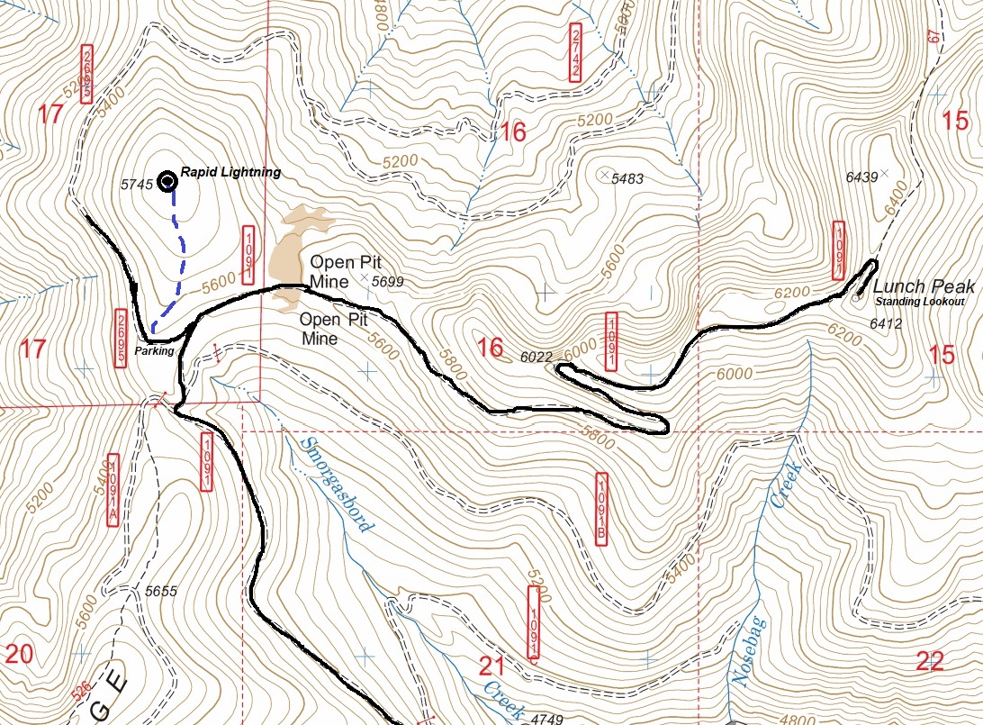
From Sandpoint take Hwy 200 east 12 miles to Trestle Creek Road; turn left onto Trestle Creek Road #275 and go 12 miles to Lunch Peak Road #1091; turn left onto Road 1091 and go 1.5 miles to a sharp spur on the left. Drive a short distance to some parking on the south ridge of Rapid Lightning.
Access:
Summit Elevation: 5,745 feet
Hiking Distance: 0.4 miles
Elevation Gain: 150 feet
Rapid Lightning Lookout Site
In 1923, there was a cupola cabin.
1939, there was a slab frame cabin.
In 1967, both were destroyed in a wildfire.
Lookout History:
This bump is the location given in the Kresek inventory for the Rapid Lightning fire lookout site. The summit is large, flat and overgrown so it was difficult to search. Unfortunately, I did not find any remnants. The roads on the south side that go up toward the summit have been purposefully covered in trees making travel difficult. If you have more information about this lookout site, please contact me.
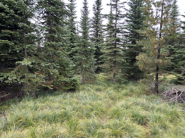
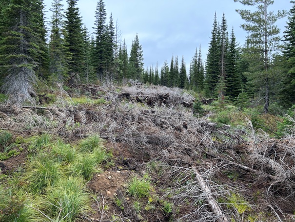
The summit area looks mostly like this
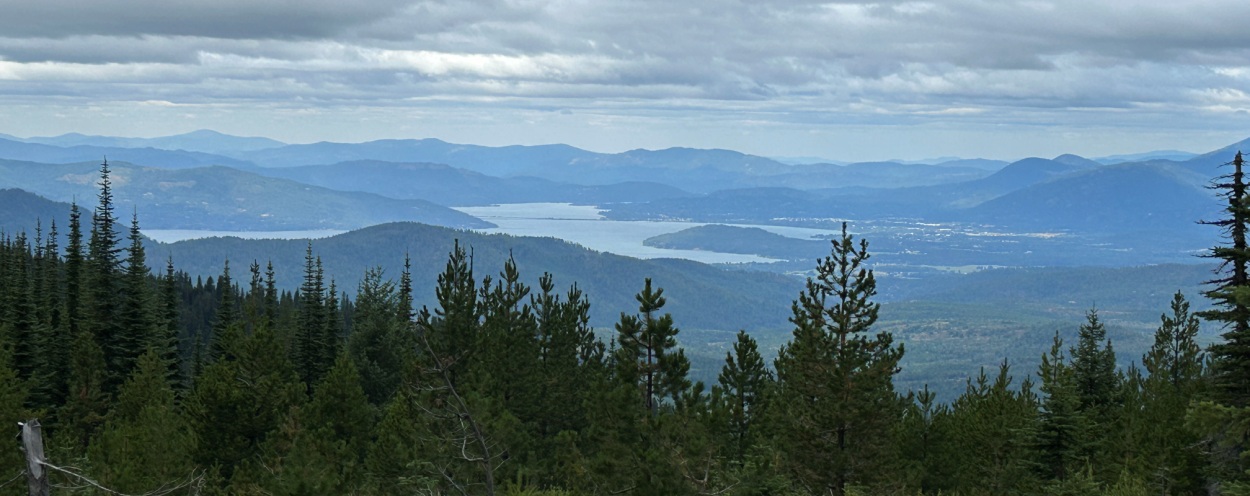
View of Sandpoint from near the summit
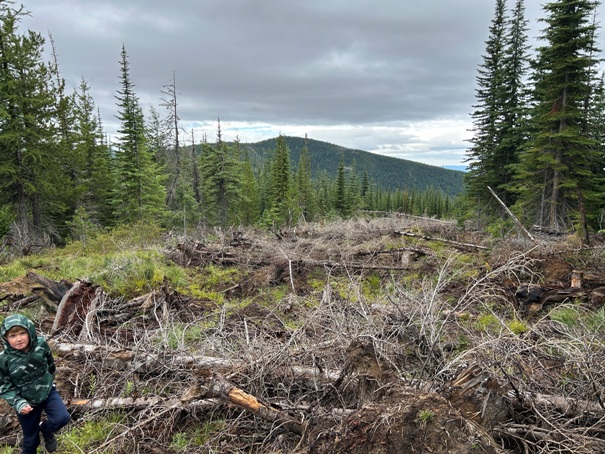
Abandoned roads with dead trees
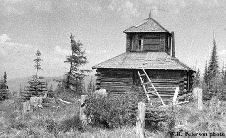
Rapid Lightning Lookout in 1960
January 18, 1927: (From fire wardens report) ...furnished two horses and saddles to pack to lookout. Lookout in, SE 1/4 section 17, town ship 53 north, range 2E BM. (Northern Idaho News)


