Lookout Elevation: 5,241 feet
Hiking Distance: 6 miles
County: Kootenai County
Access: Private
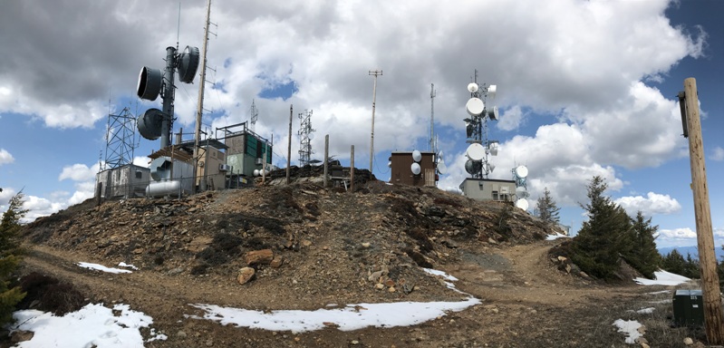
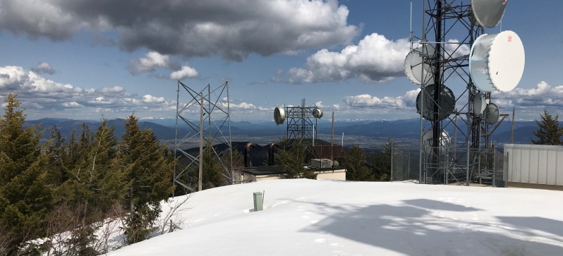
For whatever reason, on the state line of Washington and Idaho, there is a Mica Peak on each side of the border. Both are very prominent mountains and both had fire lookouts. A good dirt road leads to the summit where there are many communication structures. The highest point is dead center in a tight squeeze between them all so you probably better eat lunch down the hillside instead of hanging out in the electromagnetic radiation death zone.
Lookout History:
In 1952, a 16x16 foot frame cabin was built. (images seem to show a gable L-4)
In 1983, the cabin was abandoned but did house communication equipment for the many communication structures on the summit. It is unclear when the cabin was demolished.
WillhiteWeb.com
Mica Peak (Idaho)
Access:
There are currently problems with access. The most common way people have been going (Signal Point Road) requires going over private land the first mile, then a timber company land the next several miles, followed by a private LLC for the last few miles. Although the first 2 landowners have tolerated hiking and biking, the last landowner, the LLC, strictly forbids access with many signs. The land at the very summit where the towers are located has been retained by the State of Idaho so they can lease the land. I do not know if the State retained an easement for the public to use the road. Likely not. Back at the gate at the start, there are no parking signs all over at the gated turn-round. People park down the road a bit, with the wide road. When I was there, a nasty note was on the only parked vehicle saying that the land was private. There are also several cameras watching you.
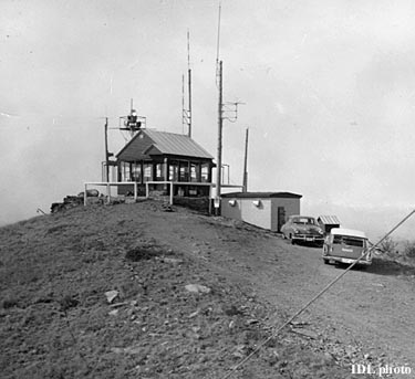
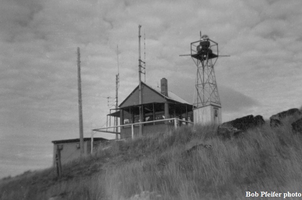
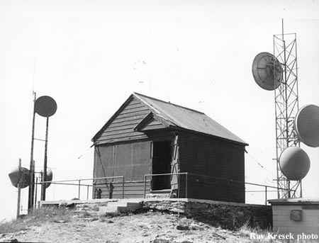
Mica Peak Lookout in 1960
Mica Peak Lookout in 1979
1960
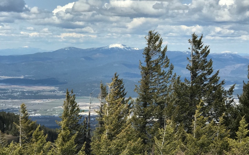
Mount Spokane
Communications at the summit
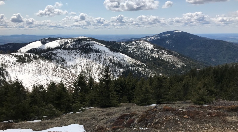
Looking north
Looking SW toward Mica Peak in Washington
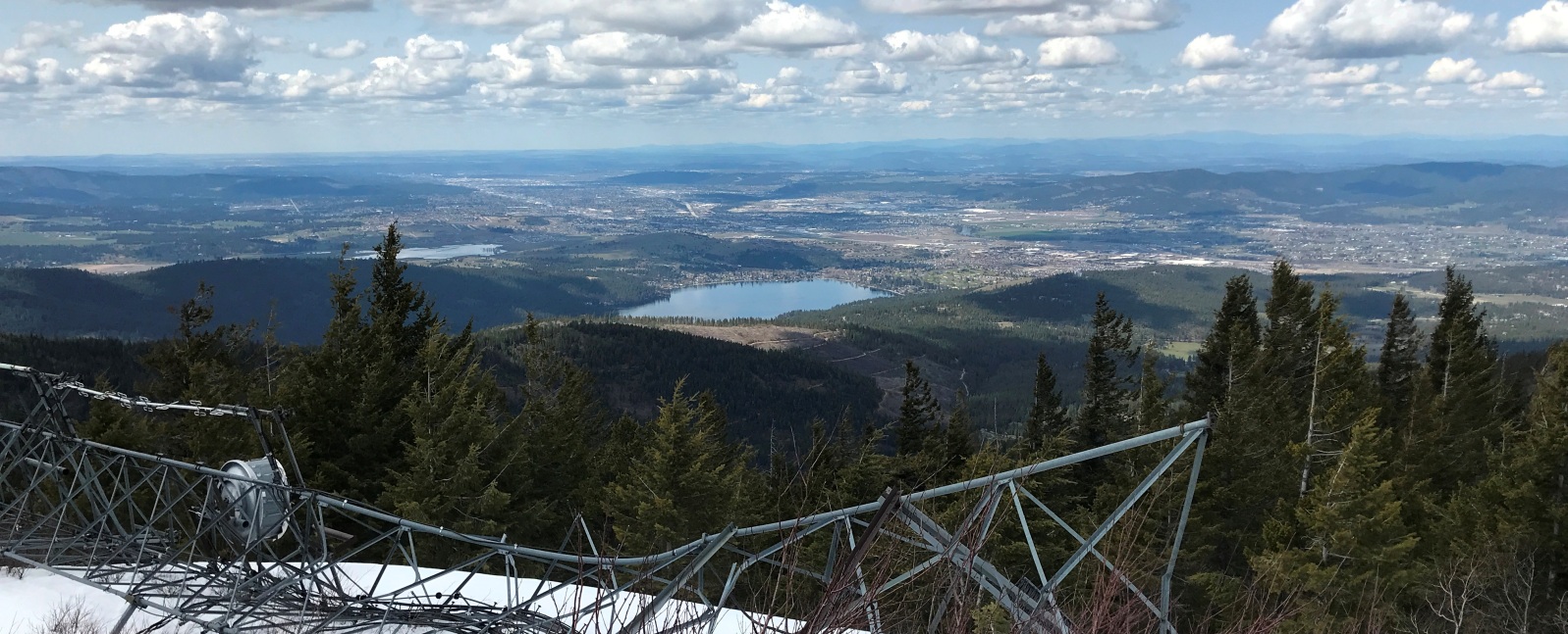
View west over Liberty Lake and Spokane
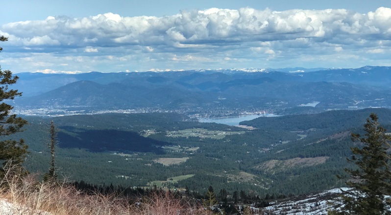
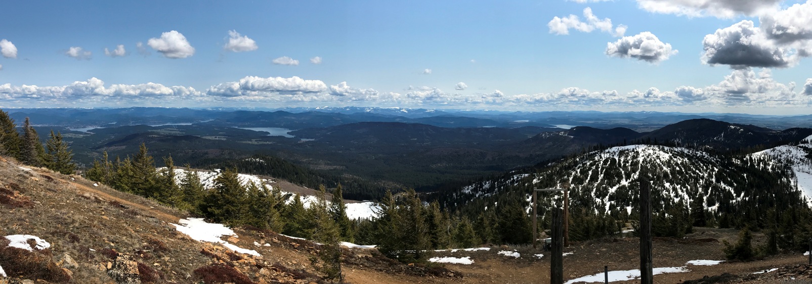
View east with Lake Coeur d'Alene visible in several locations
City of Coeur d'Alene
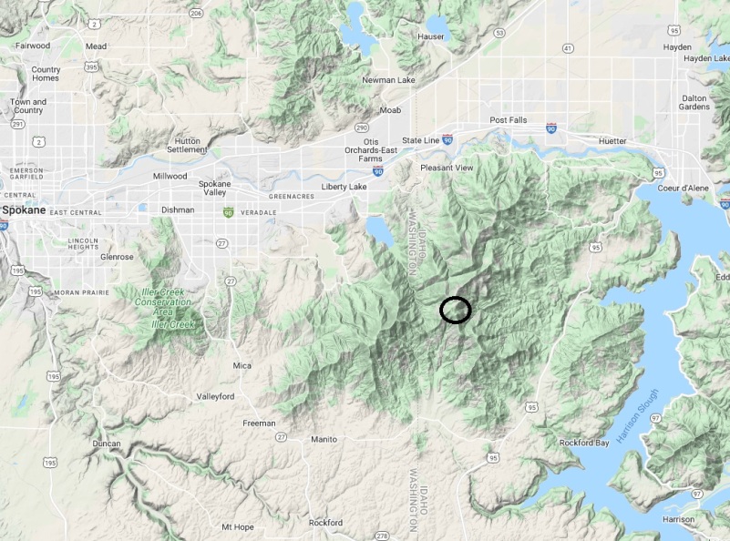
Location of Mica Peak and how it has 2,661 feet of prominence
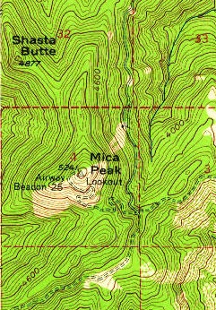
1957 USGS map showing lookout
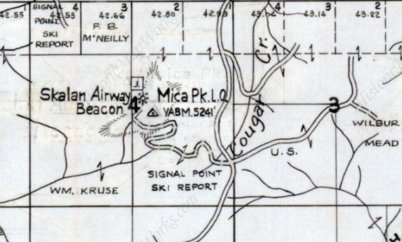
1959 Metsker Map


