WillhiteWeb.com
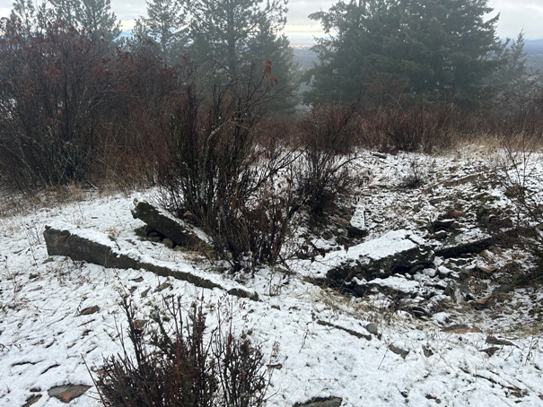
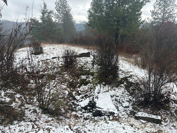
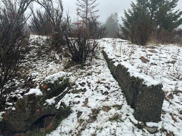
In 1931 there was an L-4 cab. It was gone by 1952. (Kresek). Today there is just some foundation concrete remaining and a large depression.
Lookout History
Elevation: 3395 feet
Hiking Distance: Less than a mile each way
Elevation Gain: 1,000 feet
Prominence: 755 feet
County: Kootenai
Hudlow Mountain
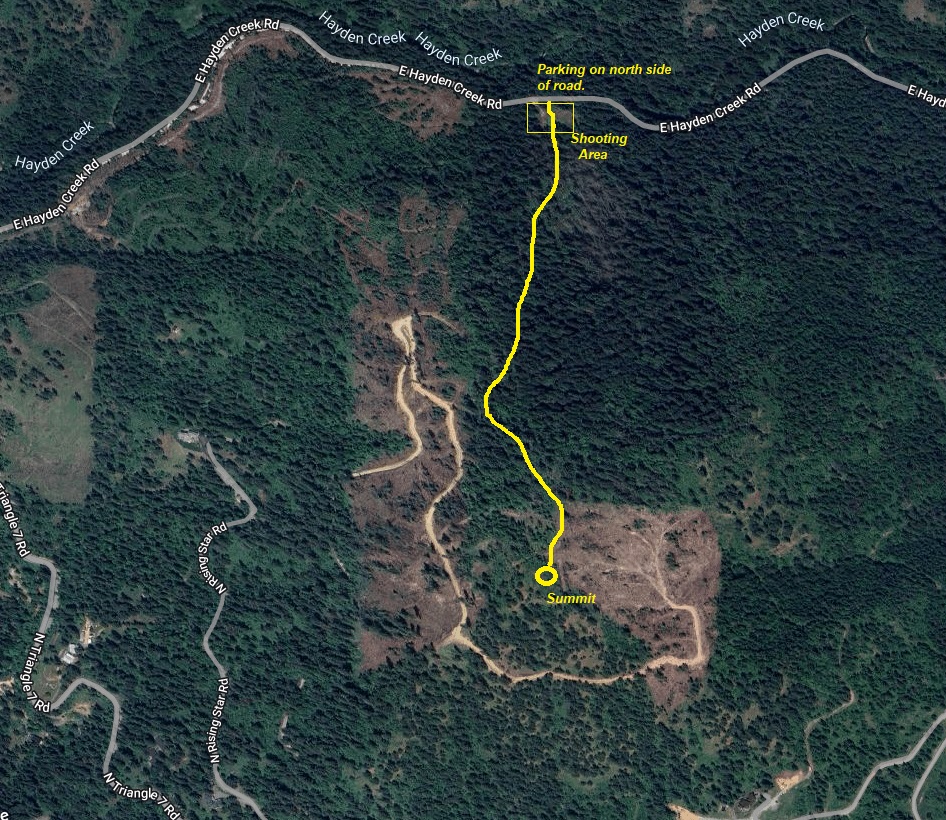
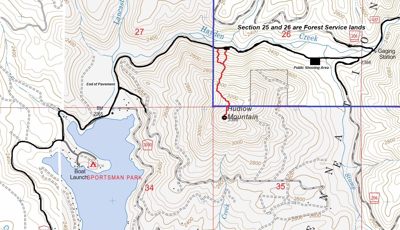
Sitting at the edge of the National Forest, the north slope of Hudlow Mountain is public lands. For this reason, the best access is to just hike up the north side. Although there is no trail, the forest is open, in part due to the Hudlow Fire of 2018. The low intensity fire burned mostly underbrush on the north side so the large trees still provide shade and keep the brush low. The actual summit is private timberlands. I parked at the first shooting area once entering the National Forest. There is room for several cars. If people were shooting on my way down, I planned to drop further west to avoid dropping into the line of fire of the shooting range. There is also a much larger public shooting range down the road further. To reach the north side, there is easy access from Hayden Lake at the end of East Hayden Lake Road. The last few miles have potholes but any car can make it slowly.
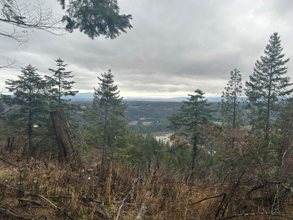
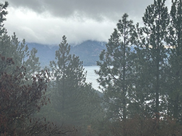

Lake Coeur D'Alene
Lookout Site
Final segment to the summit
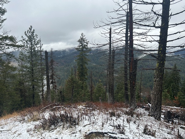
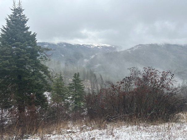
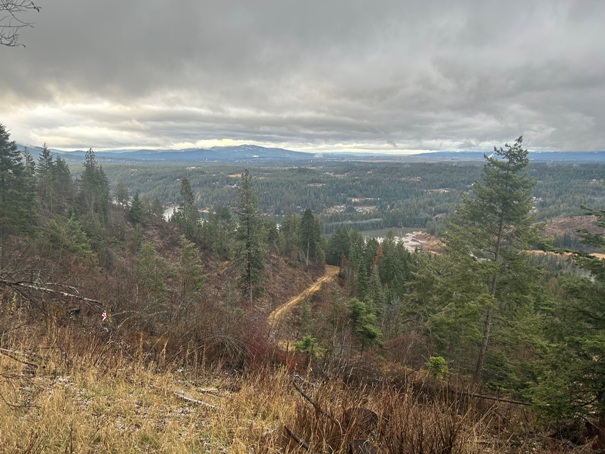
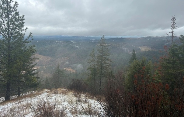
View just below the summit
Foundation cement
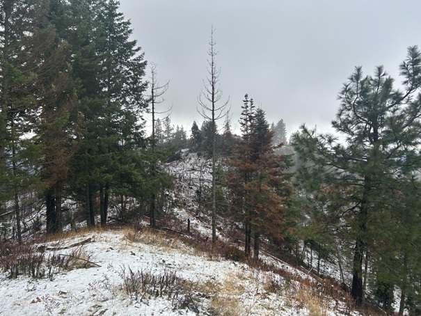
Showing the route I took with the nice trees along most of the route.
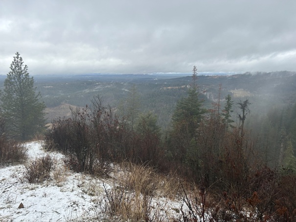
Summit area
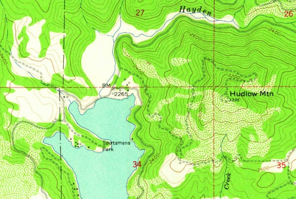
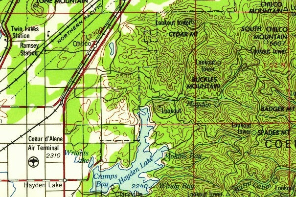
1958 USGS showing the original access road.
The 1955 USGS map is the only map I found showing a lookout on the summit.


