WillhiteWeb.com
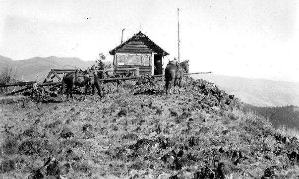
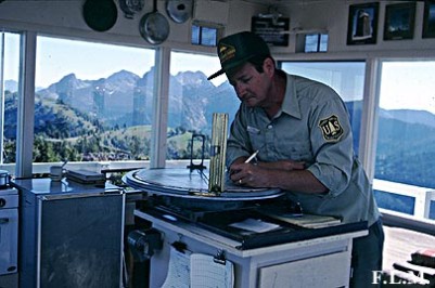
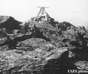
In the 1920s, there was a lookout camp.
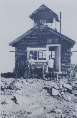
In 1924, a log cabin with a cupola was built.
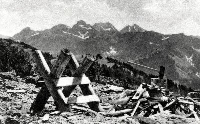
In 1935, panoramic photos were taken by Albert Arnst.
In 1958, the cabin cupola was destroyed in a wildfire.
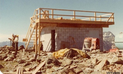
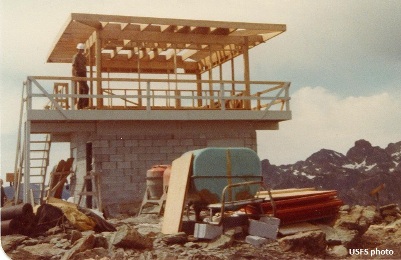
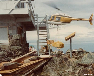
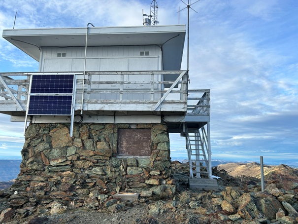
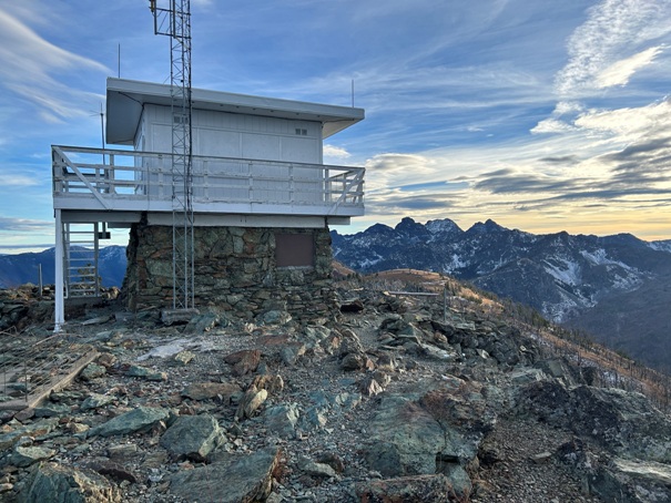
In 1978, the current 2-story concrete base was built with the modified flat roof cab on top.
In 2024, the cab was still being staffed from June through the end of fire season
Lookout History
Elevation: 8,429 feet
Hiking Distance: 0.4 miles one-way
Elevation Gain: 340 feet
County: Idaho County
Heavens Gate Lookout
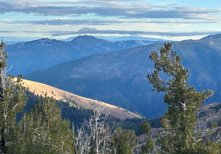
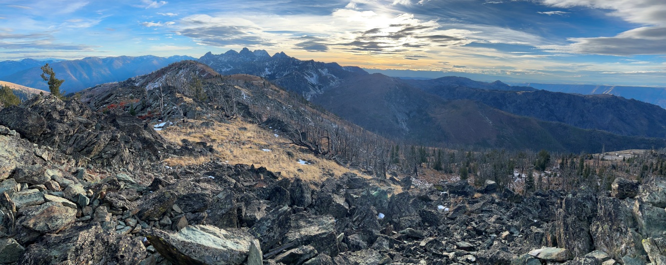
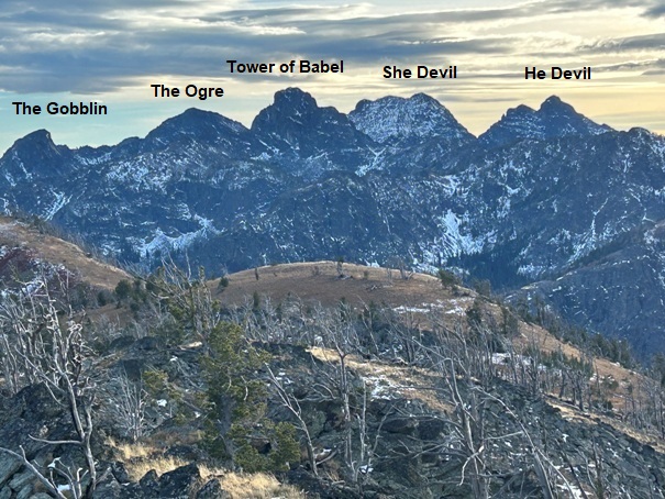
This high elevation fire lookout can nearly be driven to the top. At the lookout, one feels as if you could have hiked all day to reach such a lofty location. The views include the jagged peaks of the Seven Devils Wilderness down to the depths of Hells Canyon, and that is just half the views.
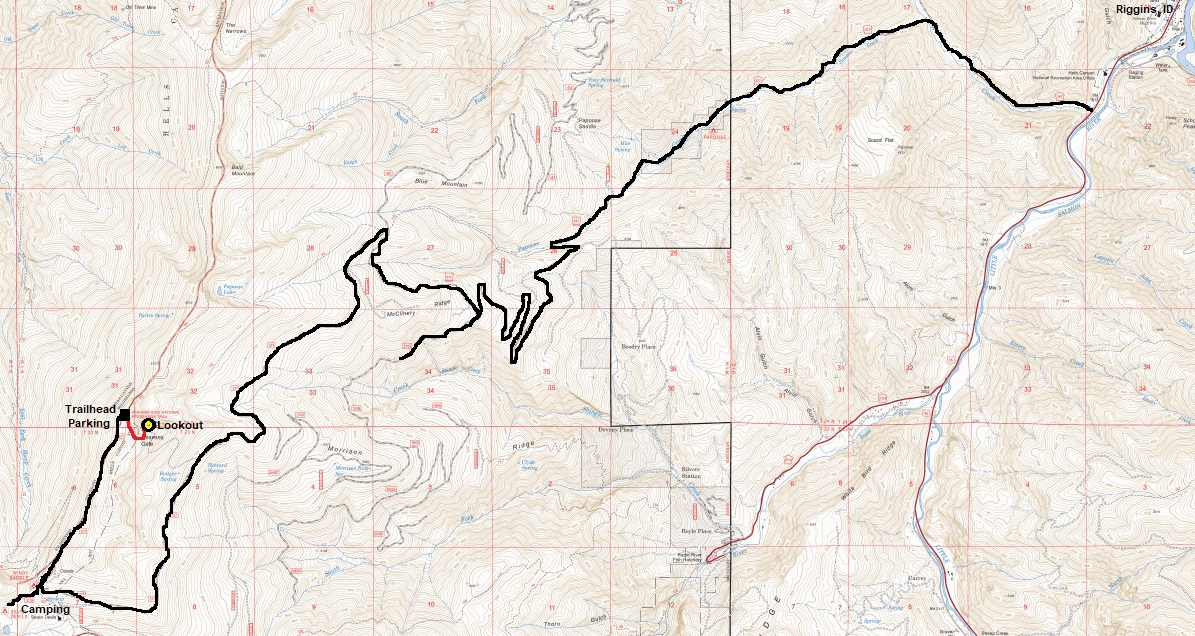
From Riggins, go south on Highway 95 for 1.3 miles to Seven Devils Road (becomes Forest Road 517). Turn right on Seven Devils Road and go 16.5 miles to the Windy Saddle Trailhead. Continue 1.5 miles more to the Heavens Gate Trailhead at the end of the road. Forest Road 517 is steep and sometimes rough or slick when wet. Low clearance vehicles are not recommended but you will often see them up at the trailhead.
Access

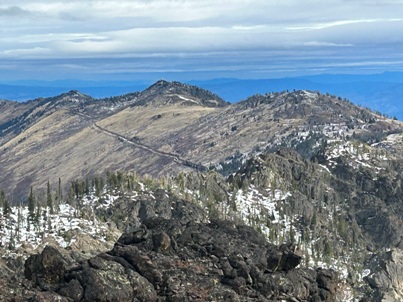
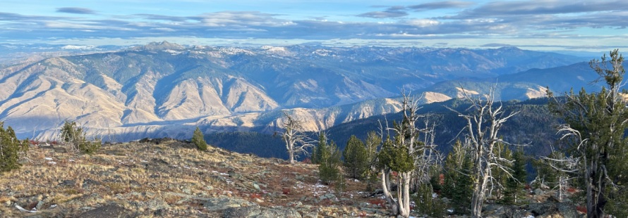
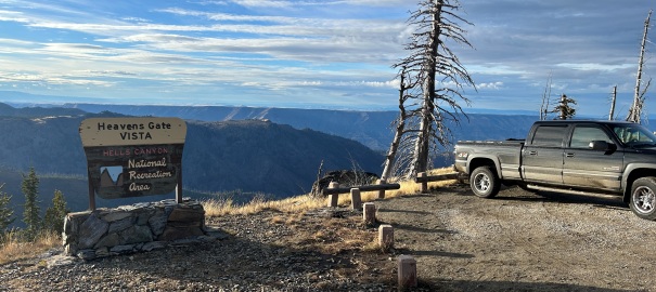
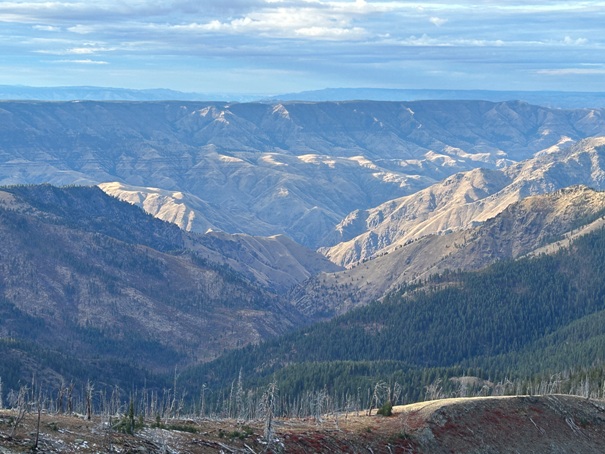
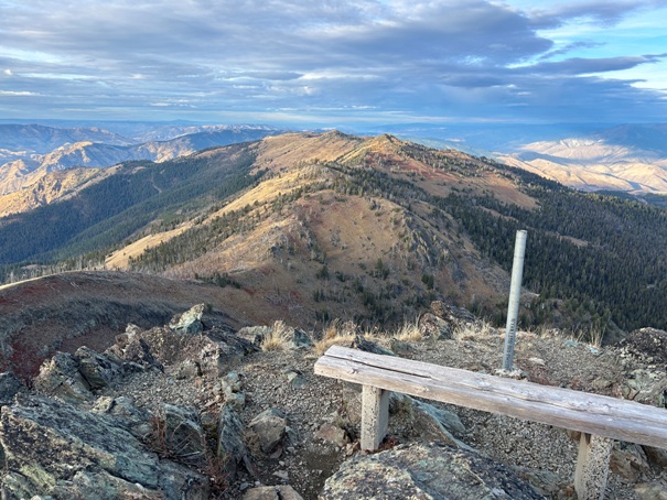
View to the Southeast
High peaks of the Seven Devils Wilderness
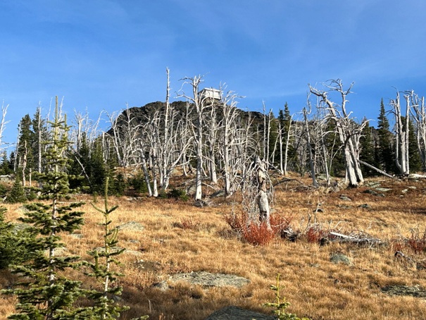
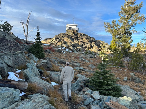
Hiking to the lookout
Trailhead at the Heavens Gate Vista
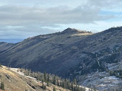
Lookout from the trailhead
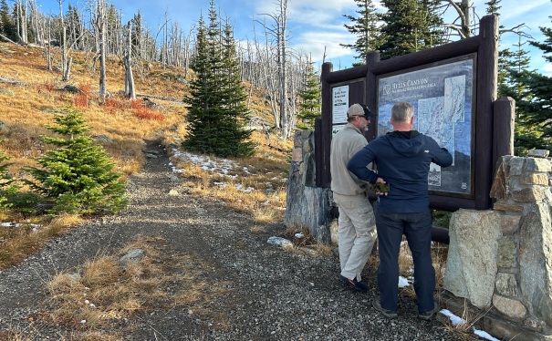
Sign at the trailhead
Heavens Gate Fire Lookout
Hells Canyon
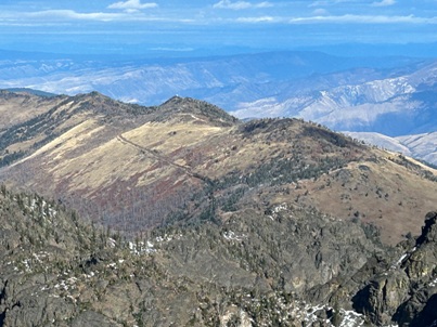
Looking North to Bald Mountain
The 3 images above are some views of Heavens Gate Lookout while climbing She Devil.
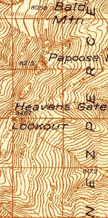
1938 USGS
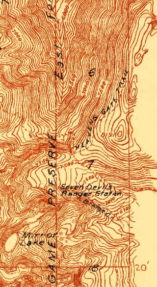
1922 map showing Heavens Gate Trail
Showing the access road from Riggins, ID
Heavens Gate cabin with no cupola
1938
View of peaks
Sign that Ray Kresek had


