.jpg)
WillhiteWeb.com

If you find yourself at Maverick Saddle and wanting to go for a short hike, maybe consider Maverick Peak. But, be warned, the summit is not very interesting with just peak-a-boo views.
Elevation: 5,285 feet
Hiking distance: 1.7 miles one-way
Elevation Gain: 1,000 feet
Access: Somewhat higher clearance vehicle
Maverick Peak
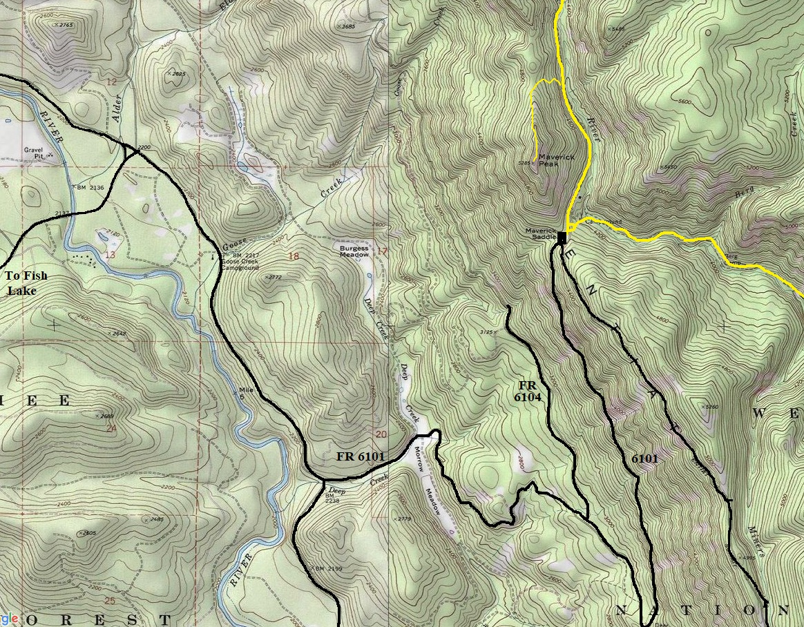
From Coles Corner on Highway 2, take Highway 207 toward Lake Wenatchee. Go about 4.5 miles and just past the Wenatchee River, veer right on the Chiwawa Loop Road. Drive past the Midway Store and just past the Thousand Trails Campground turn left on road #6100 which becomes dirt in 200 feet. Follow this to a T intersection, turn right on road #6101, and follow this for about 6.5 miles to Maverick Saddle. Park at Maverick Saddle. The final narrow twisty road to reach the saddle is best with a vehicle with some high clearance although you could push a regular car up the road if desperate.
Access:
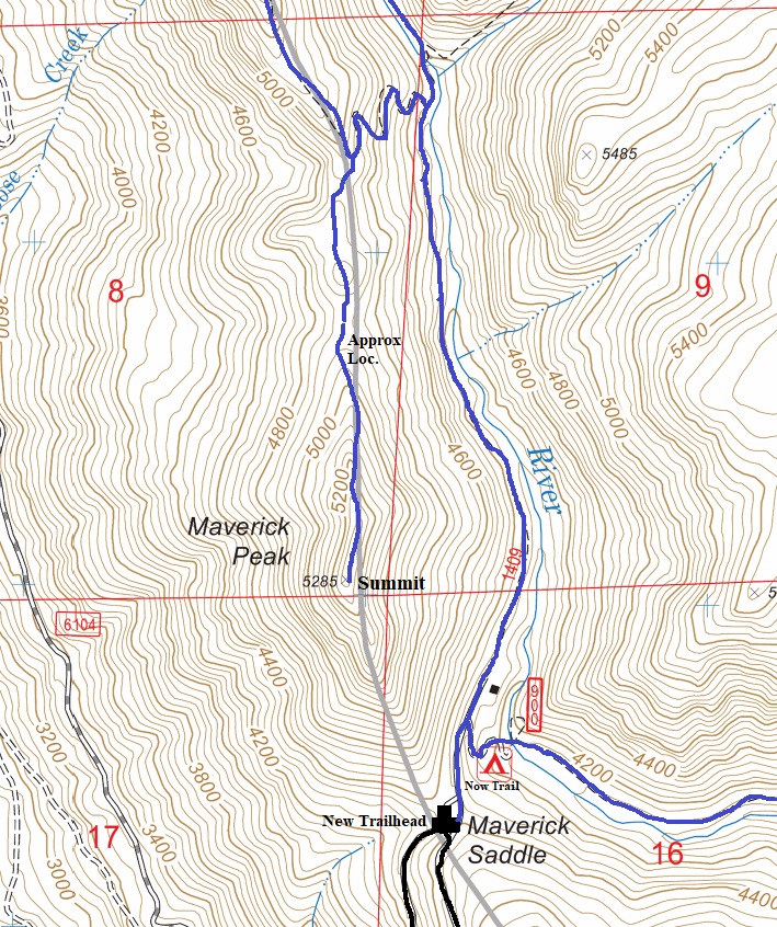
A motorcycle trail leaves the Mad River Trail and climbs the north ridge to the summit. I have drawn on the map my best memory of where the trail was located but it could be off a bit as far as where it leaves the Mad River Trail.
Route:
.jpg)
.jpg)
.jpg)


Fish Lake
Trail up to Maverick Peak might start a bit further north as shown on other topo map.
.jpg)

.jpg)
.jpg)
.jpg)

