White Star Lookout
WillhiteWeb.com
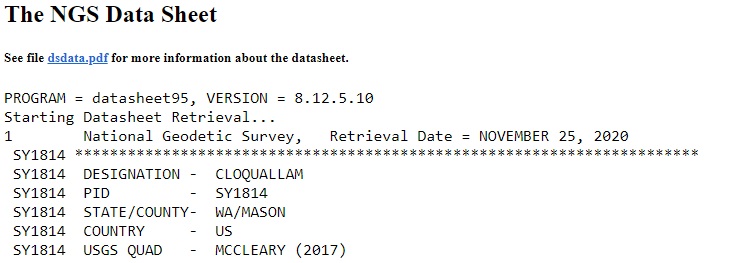
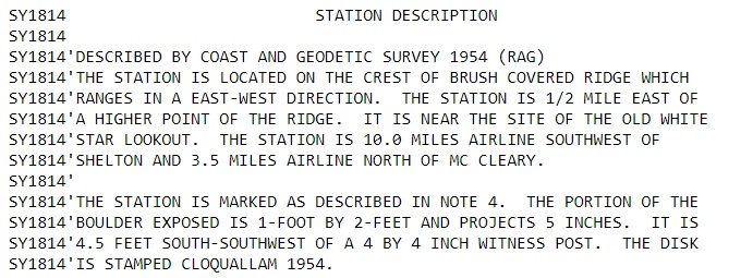
The White Star Lookout was mentioned on the 1954 Data Sheet for the Coloquallam Benchmark in southern Mason County. The two noteworthy statements are that the benchmark was said to be near the old White Star Lookout and that the access road was called White Star Lookout Road. The lookout was on the ridgetop on the most prominent hill in the area but not on the actual summit. It could be presumed that this was a private lookout for the White Star Lumber Company which owned timberlands in this vicinity.
The White Star Lumber Company was in existence from around 1911 to 1933. Their headquarters was just 5 miles away in the town of Whites (midway between Elma and McCleary). It was named by Northern Pacific Railway officials, for Allen White, who built a sawmill in 1890, and operated it for many years. There are numerous photographs of this logging company in the online UW photo collection if you search for Clark Kinsey photographs, circa 1920-1940.
Note that the Benchmark spells Coloquallum as Coloquallam. This is different than the road and river spellings. Our earliest aerial photos from 1944 show roads going to the lookout site with a fairly large opening there. The 1943 USGS also shows a road to the site.
Lookout Elevation: 1,233 feet
Hiking Distance: 5.5 miles or more each way
Elevation Gain: Over 1,000
Access: Paved Road to gate
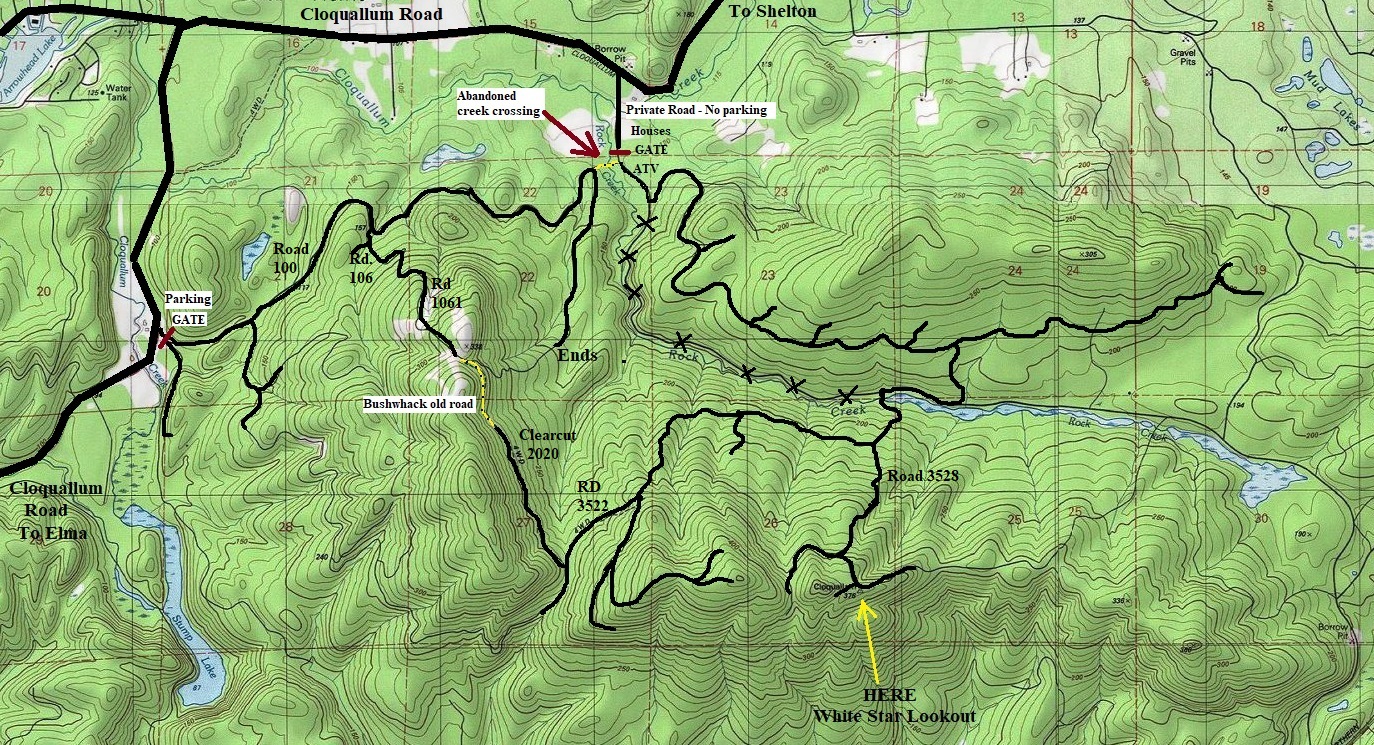
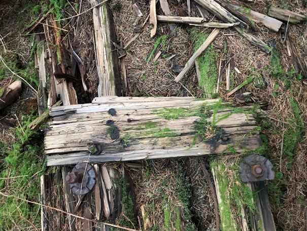
Arrive at the ridgetop via the road on the north side up from Rock Creek. The road makes a sharp left going down the ridge east while an old spur road goes right. Just enter the forest straight ahead and go left toward a small highpoint on the ridgeline. The debris is in route to this highpoint but not on the top of it. You will not see the debris unless you are right on top of it. I did not find the Coloquallum benchmark but I did find a very recent survey flagging
Lookout Location:
Access is uncertain as the landowners could change. As of 2021, Port Blakley was allowing access on their property but other gates had no access signs. Any route crosses at least 2 landowners. The map I give on this page shows some options. Choose your own adventure as there are many spur roads and abandoned main roads.
Access:
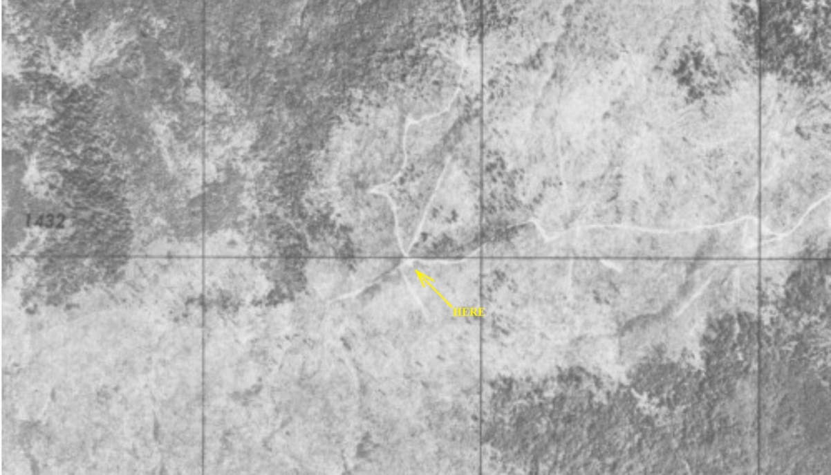

1944 aerial photo shows roads to the benchmark location. This is 10 years prior to the placement of the benchmark.
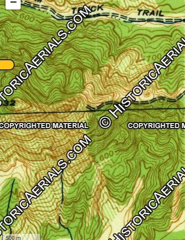
A 1943 USGS map shows a road going to the location.
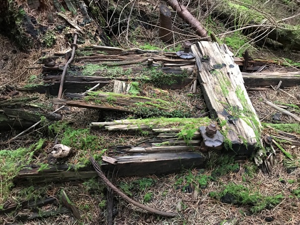
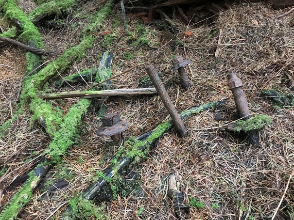


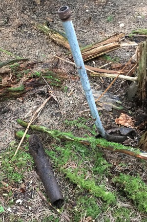
If it was not for this pipe sticking up to catch my eye, I would have not looked at the area harder, missing the site.
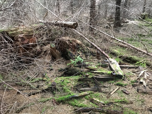
The site is almost deteriorated, plus a logging operation cut the area over, new trees were planted on top, and a recent thinning operation felled small trees right on top of the site.
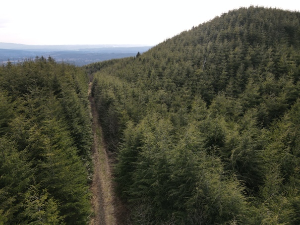
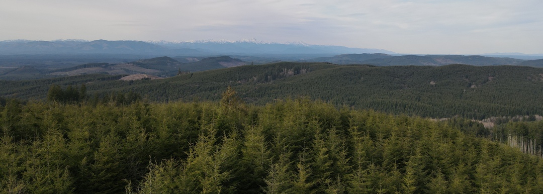
Drone shots from road, near the site, just above the trees.

Looking North toward the Olympic Mountains
Looking Northeast
Looking Southeast with Mt. Rainier in the distance
Looking South
Southwest view
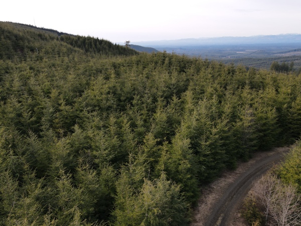
Northwest view
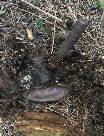
Nuts and bolts coming out of the ground
Boards and tie bolts
An archaeologist could spend some time here.


