WillhiteWeb.com
In 1932, the lookout was George Storms, who did not start observing duties until mid-July.. At this time, Sweetgrass was a camp. The newspapers reported in August that a house for the lookout would probably be started in the near future.
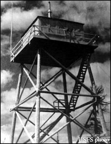
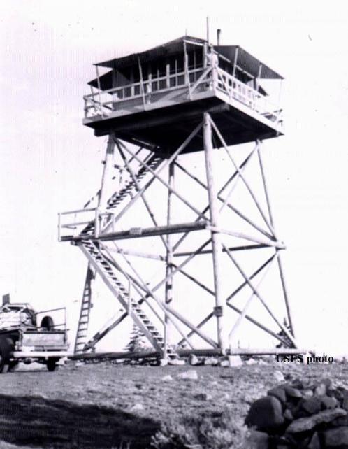
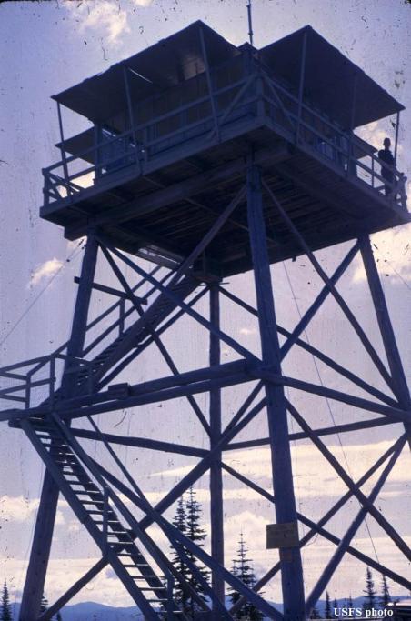
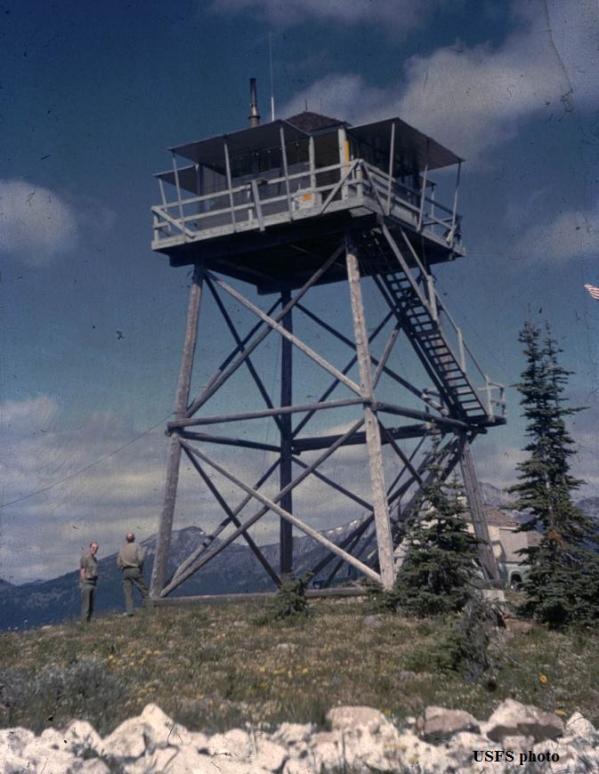
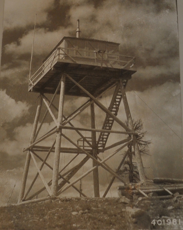
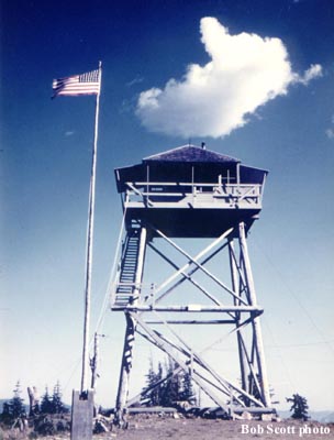
In 1933, a 30 foot pole tower with an L-4 cab was built.
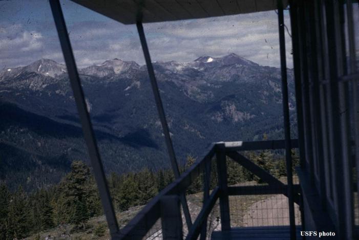
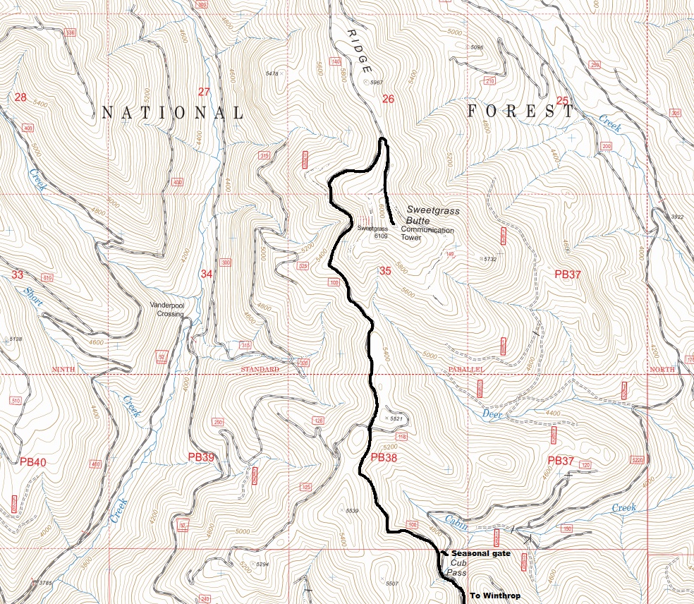
In 1936, the Brewster Herald was suggesting people take a drive to the lookout, “Another of our lookouts which can easily be reached by road is Sweetgrass Butte. Drive first to Winthrop and thence up the Chewack River to the Cub Creek road, which you follow to the lookout. The trip will take you through the beautiful Methow and Cub Creek valleys. Lovely scenery on the way and a magnificent view of the surrounding mountains from the lookout will reward you for your effort."
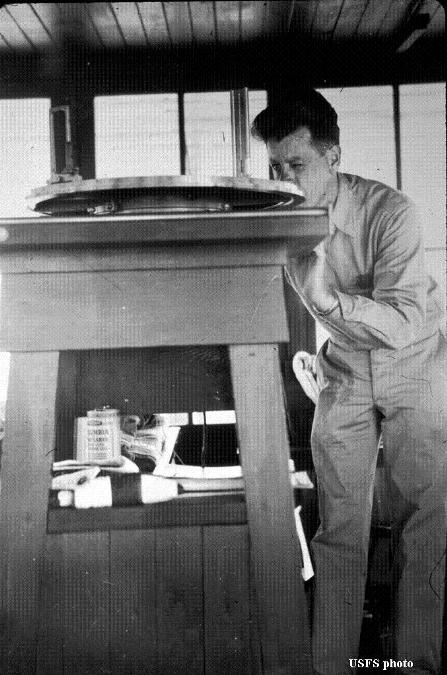
In 1942, the Aircraft Warning Service used the Sweetgrass Butte Lookout for spotting enemy aircraft. The AWS built a sleeping quarters and reconditioned the lookout. The site was activated on March 16, 1942 and deactivated on July 1, 1943.
In 1962, the lookout guard, Ward Shafer, reported that a total of 240 tourists had visited his station that summer.
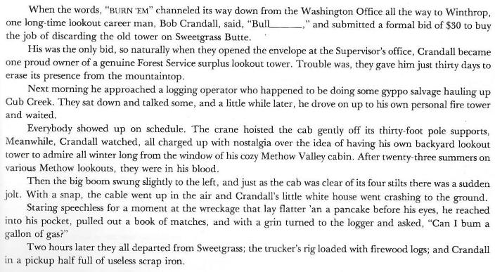
In 1967, the tower was sold to a local resident for removal. (see story below)
In 1973, The Herald-Reporter newspaper said: "This site was once a permanent fire lookout station, but use was discontinued in the mid-1960's. It still serves as an emergency lookout during lightning storms and high fire danger weather."
Lookout Elevation: 6,104 feet
Hiking Distance: Drive-up
County: Okanogan
Visited: 2022
Sweetgrass Butte Lookout Site
From Fire Lookouts of the Northwest by Kresek
View from the lookout





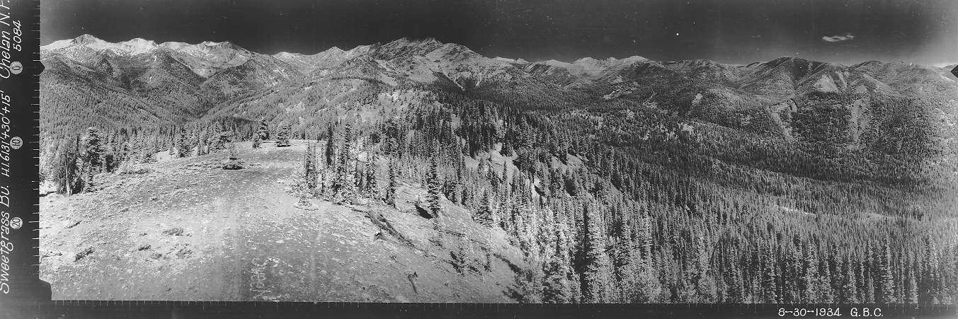
Looking North 1934
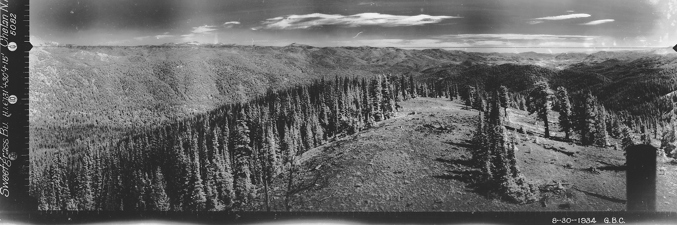
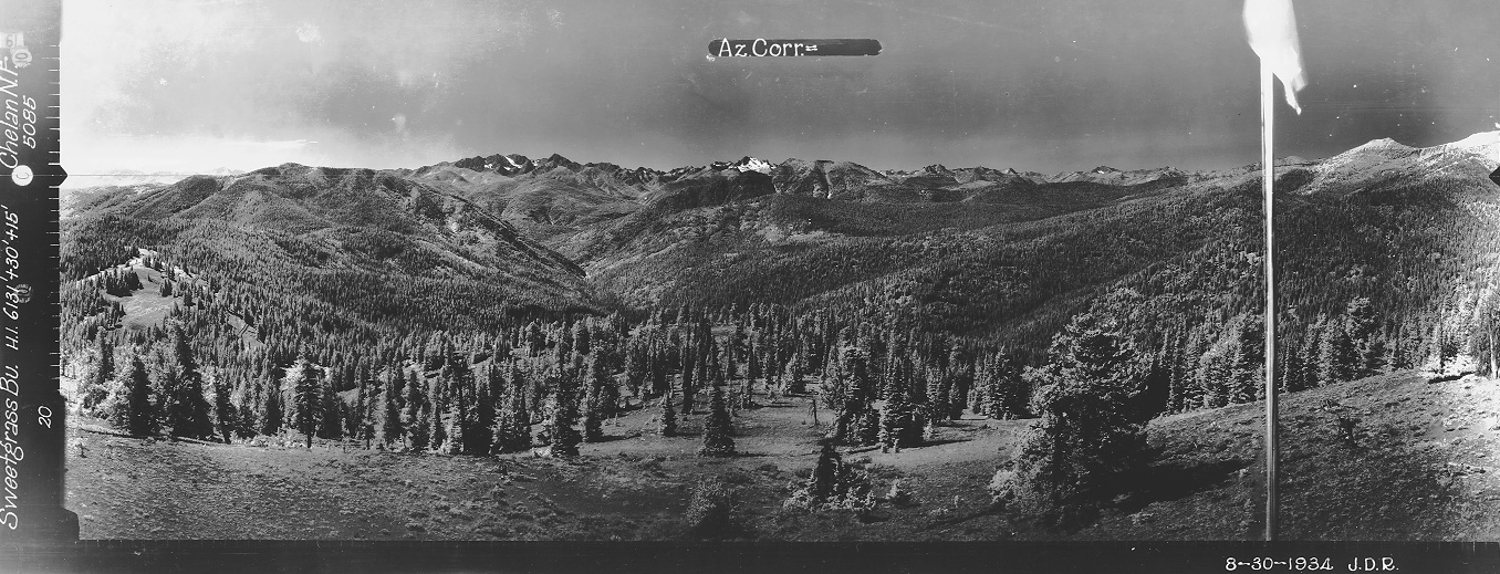
Looking Southwest 1934
Looking Southeast 1934
Image inside
Sweetgrass Butte Lookout
Sweetgrass Butte Lookout
Sweetgrass Butte Lookout 1965
Sweetgrass Butte Lookout
Sweetgrass Butte Lookout
Aircraft Warning Service: Sweetgrass in Chelan National Forest, an existing station, reconditioned, to retain for the Forest Service, inactivated 7/1/43, a sleeping quarters was built with AWS funds.
Access in 1942
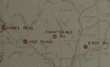
AWS map showing Sweetgrass and others in area
Name, Location, Grid Description and Telephone Exchange
The two observers at Sweetgrass Lookout
Name, code, coordinates, date established, telephone no., and location.
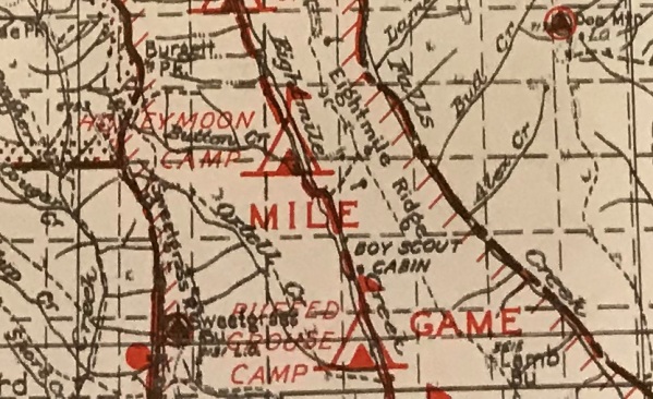
Early map with Sweetgrass Butte Lookout

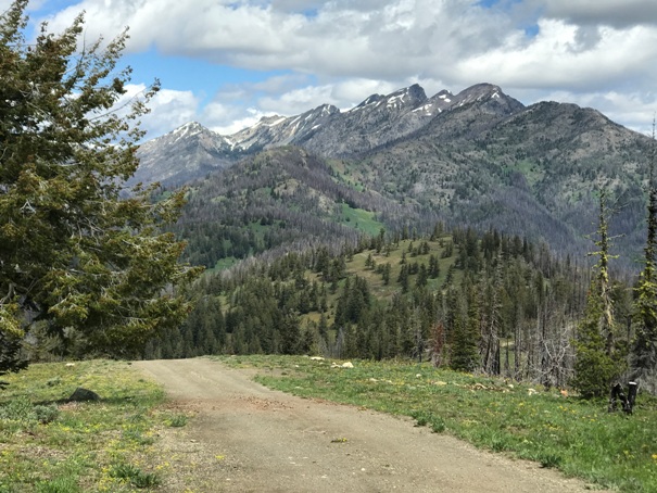


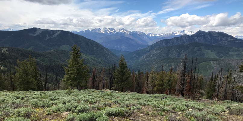


View East in 2022
View South in 2022
View North in 2022

View West in 2022 with Goat Peak on the right front
Zoom in on Goat Peak Lookout
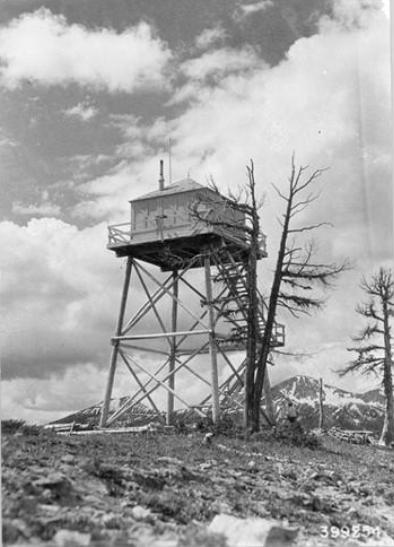
Sweetgrass Butte Lookout


