Slate Creek Lookout Site (Lead Hill)
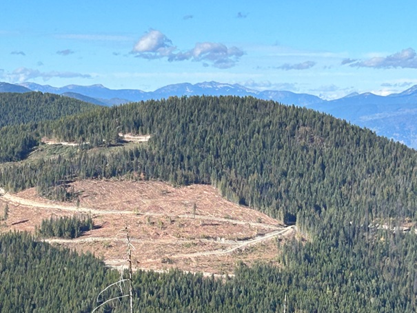
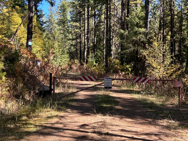
Try this unique hike where nearly every mountain and view is inside Canada. Currently in 2024, there are superb views due to recent clearcuts along the route. In time, these views will be overgrown and the hike will not offer much except to the fire lookout history enthusiast. Be aware the road is gated at the highway from April 1 to June 30. Starting in July, you can drive 7 miles up the road but then there is a permanent looking locked gate. This is a road hike from the second gate. This second upper gate is to protect the road from damage.
Summit and Lookout Elevation: 5,474 feet
Hiking Distance: 2.5 miles one-way
Elevation Gain: 1,100 feet
County: Pend Oreille
Time to go: July to October
WillhiteWeb.com
1942 USGS (1958 update)
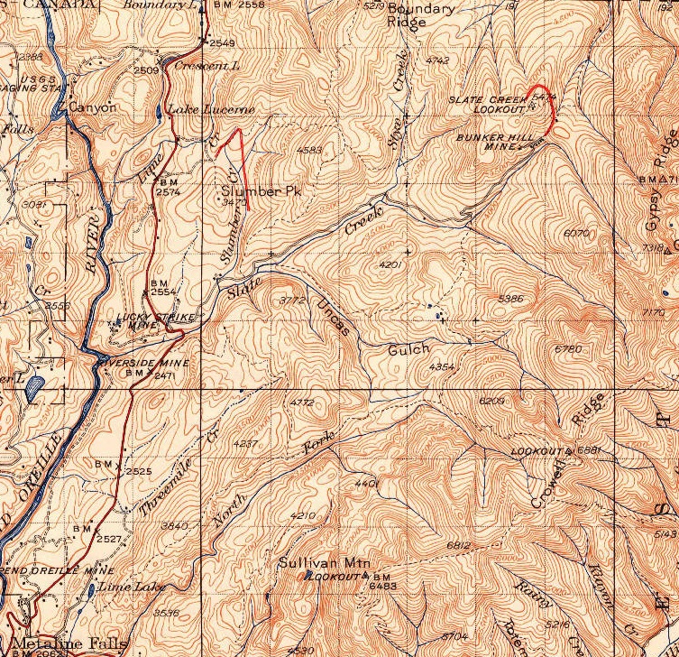
In 1931, an L-4 cab was built. The cab was removed in the 1950s.
In 1932, the lookout person was Wayne Myers. The Metaline Falls News in 1932 described Wayne as stationed just above the Leadhill camp on Slate creek.
Lookout History:
Drive Highway 31 north of Metaline Falls toward Canada. Take the signed Slate Creek Road to the right. Once on this gravel road, a sign will indicate the road ends in 7 miles. If you have a bike, you could use it to reach this summit. Beyond the gate, getting to the summit is easy road walking with one 5 way intersection that requires some mapping. You would never know it but as you approach the summit, you are just 2.3 miles from a major highway in Canada.
Access and Route:
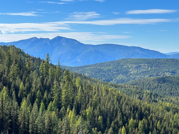
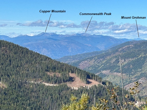
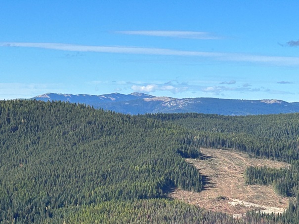
Mount Kelly in far distance
Siwash Mountain in center far distance
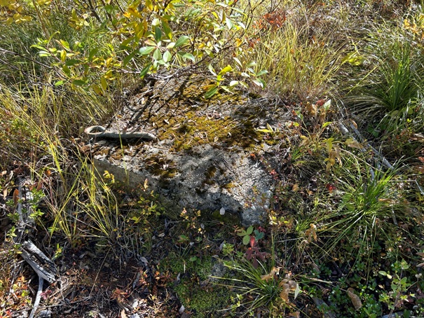
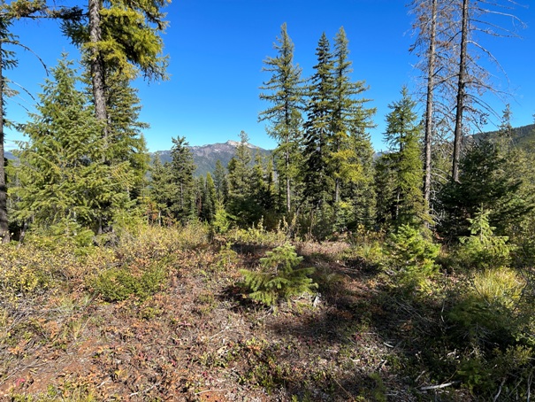
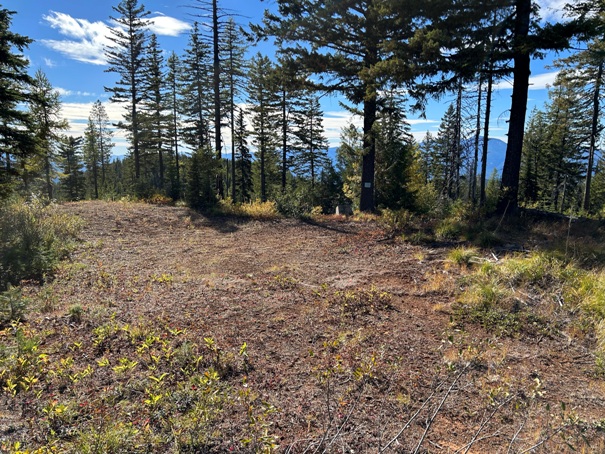
Lead Hill summit with lookout footing placed next to the tree.
Lead Hill summit
Lookout footing
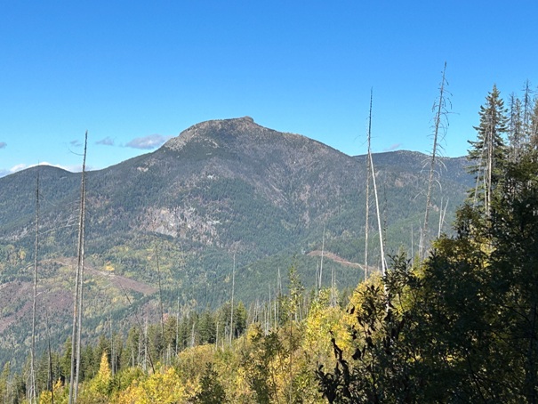
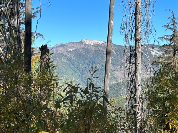
View of Ripple Mountain through the trees
Looking North
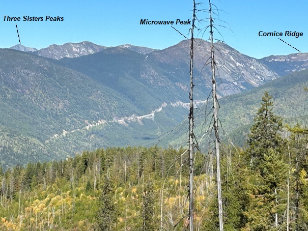
Looking Northeast with Highway 3 road cut
Lost Mountain, BC
Abercrombie Mountain (in Washington)
Boundary Mountain

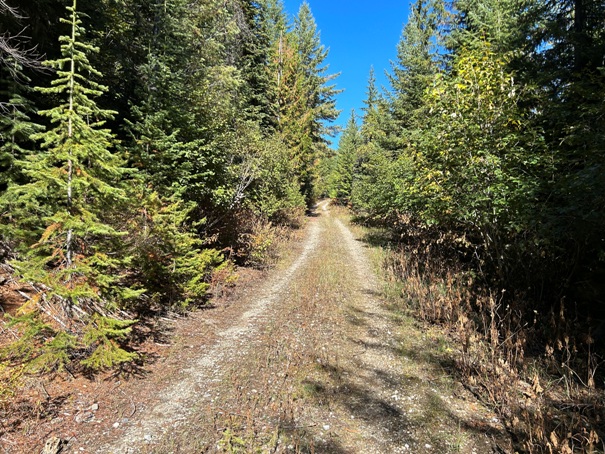
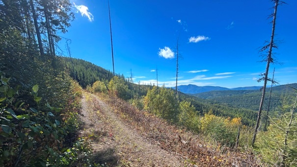
Road walk with views.
Road walk
Upper Slate Creek Gate
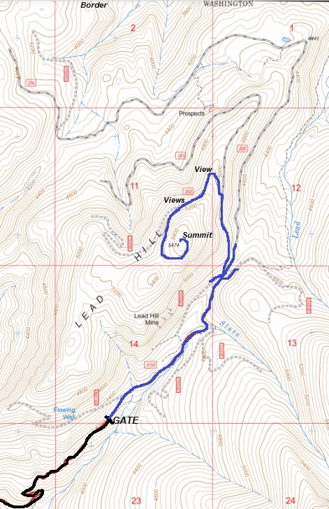
Gate location approximate
Crowell Ridge (in WA) from the summit.

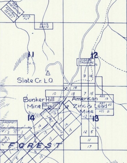
1957 metsker map


