
WillhiteWeb.com
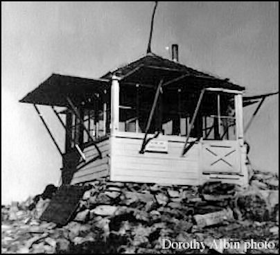
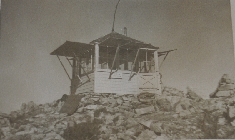
In 1933, an L-5 cab was built. The Wenatchee Daily World had two articles mentioning the work. On August 12 they wrote that Roma Johnson blazed a trail earlier in the week for an emergency lookout to be established on Setting Sun mountain. That Setting Sun, seven miles northwest of Goat Peak, looks into several small valleys which cannot be seen from the other peaks. On September 2, they reported that Tracey Heath is nearing completion a fine new forest service lookout station on Setting Sun peak this week. When finished, Tracey Heath would be going to Mebee Pass to construct a similar station.
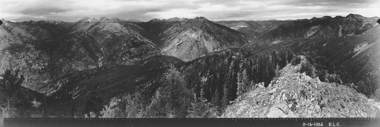
In 1934, panoramic images were taken from the roof.
In 1935, September 13, the Wenatchee Daily World reported that Bill Wehmeyer made an overnight trip with a pack-horse the past week to Setting Sun lookout, by way of Goat peak.
In 1953, the L-5 cab was destroyed.
The lookout on Goat Peak, 5 miles to the south, could not see into the Lost River Valley. So when lightning struck in that area he would hike the 5 miles along the connecting ridge to the unoccupied Setting Sun Lookout to see if there were any fires, then hike back to Goat Peak.
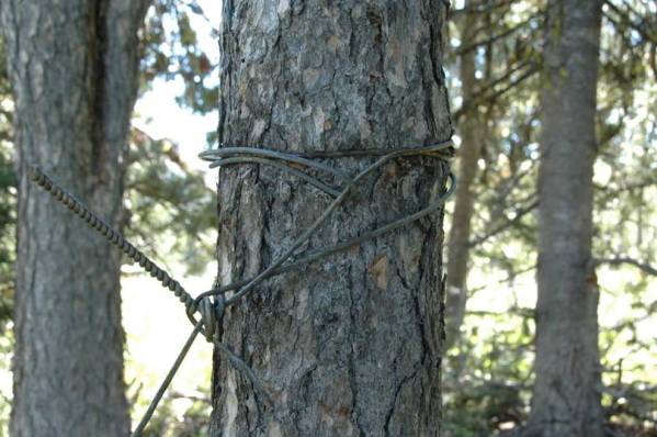
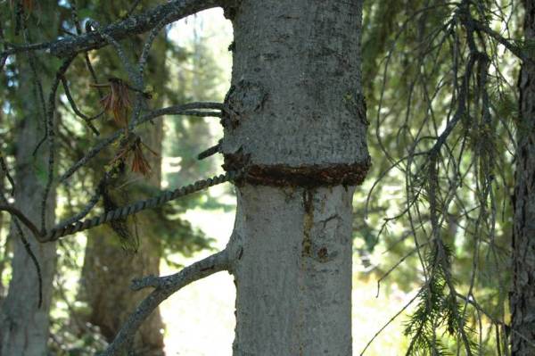
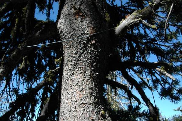
The phone line that ran East toward Sweetgrass Butte was never removed and long sections can be found.
Lookout Elevation: 7,253 feet
Hiking Distance: 2 miles one-way
Elevation Gain: 1,700 feet
County: Okanogan
Visit: 2022
Setting Sun Lookout Site
Looking Southwest 1934
Setting Sun Lookout

Looking Southeast 1934
Looking North 1934
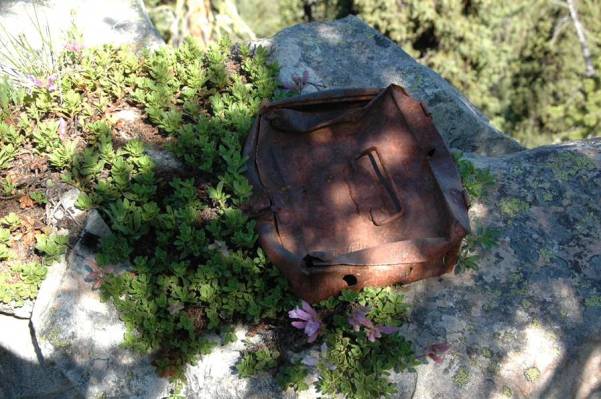
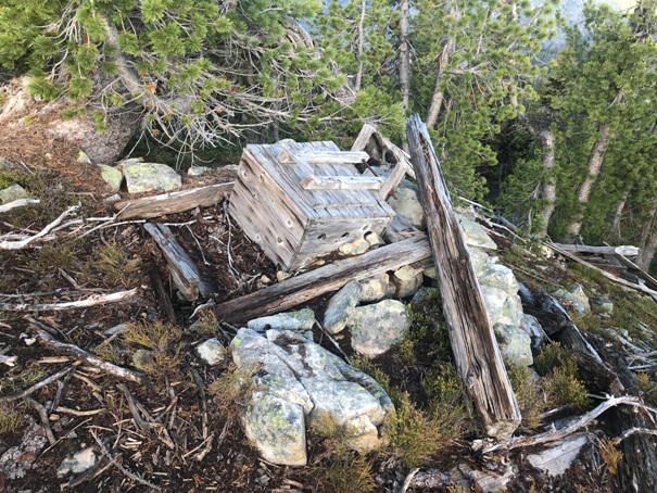
Maybe a toolbox
Photos below by Bob Pfifer (I think), shot prior to a fire that killed most of the trees on upper ridge.
Setting Sun Lookout
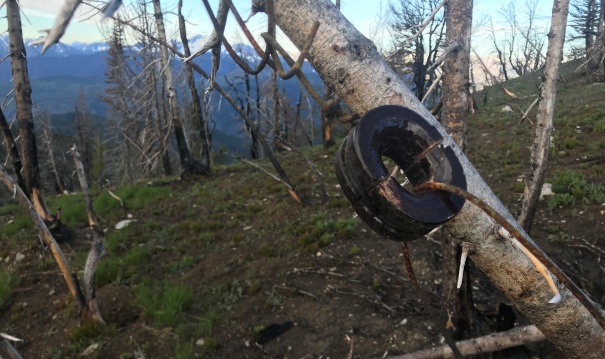
Phoneline
Phoneline
Phoneline
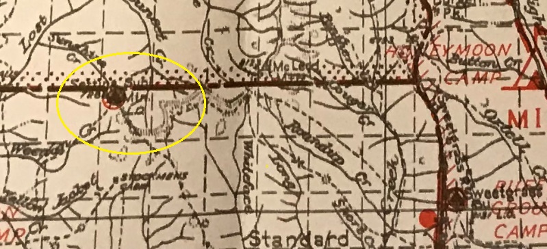
Setting Sun L.O. on an early map
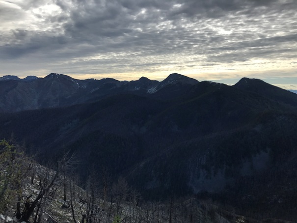
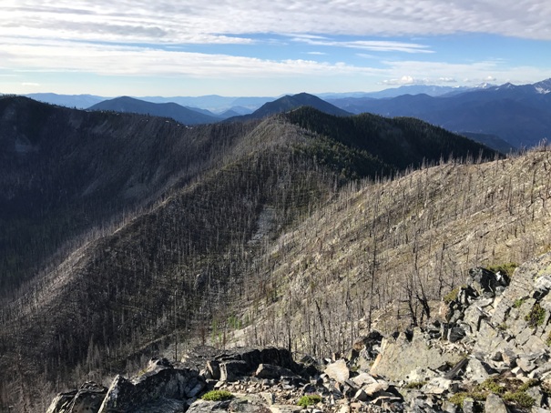
Goat Peak in route up Setting Sun Mountain
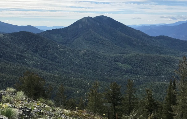
Looking East to the McLeod Mountain and Sunrise Peak area
Looking south to the Gardner Peak area
Lots of items at the top
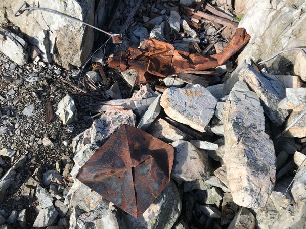
Stovepipe and roof cap
The phoneline and some insulators can be found along the upper ridge
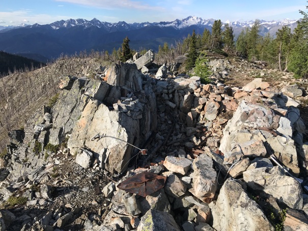
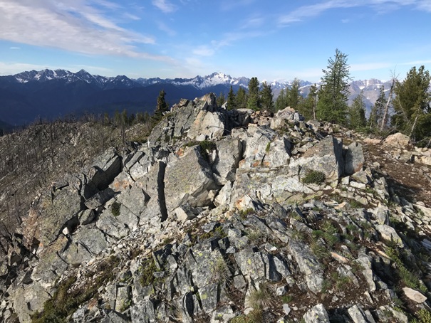
Lookout site
Lookout site
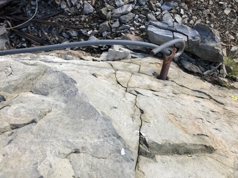
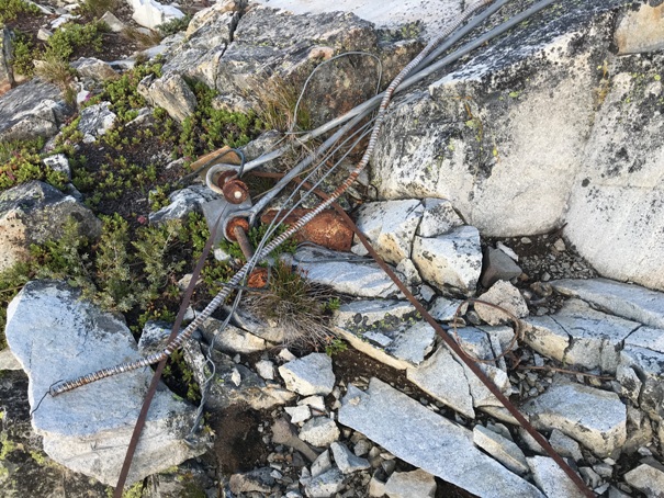
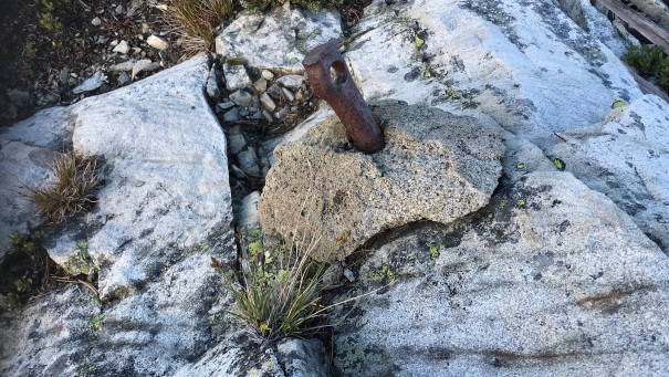
Anchor in the rock
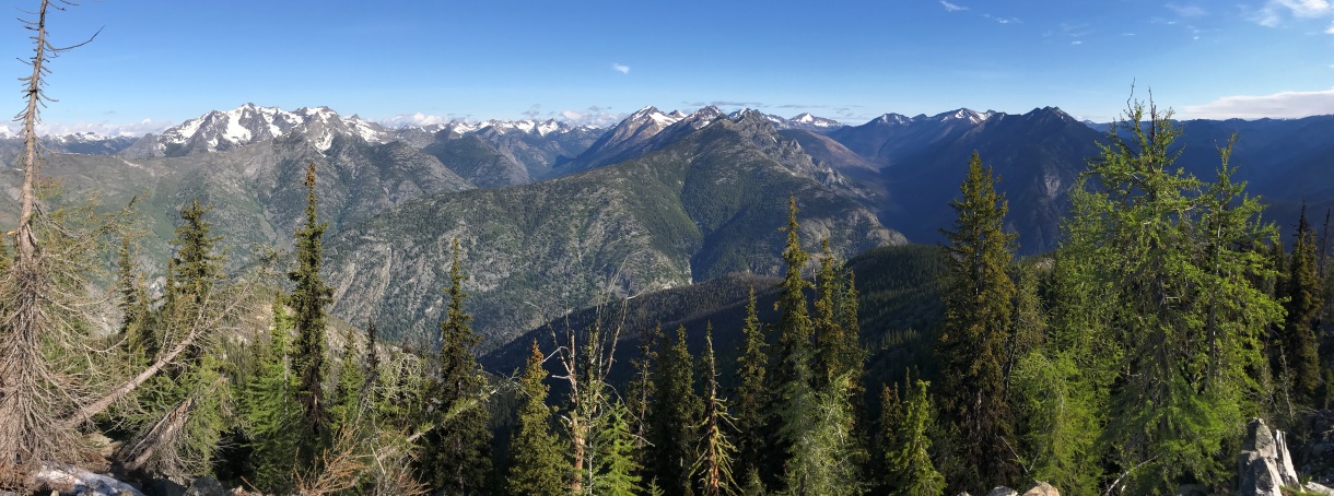
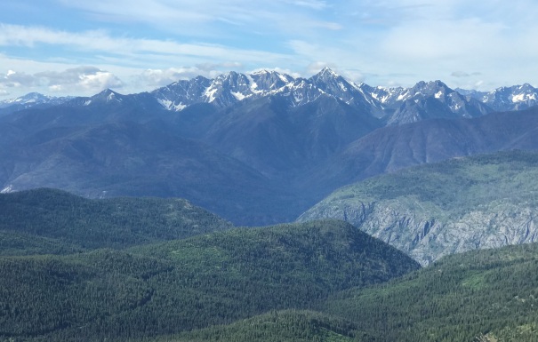
View Northwest into the Pasayten
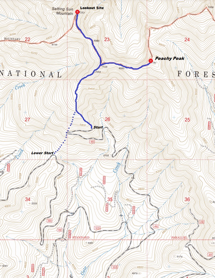
Looking south. The route on the map comes along this ridge and down on the right.
Part of the outhouse
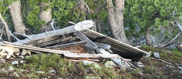
A door or shutter down the hillside
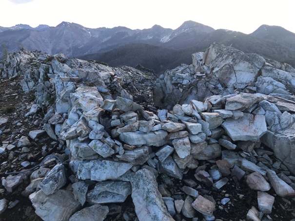
Still some stacked rocks in the area
Another anchor
The terrain is open and easy to navigate, even from the lower start.


