Neby Lookout Tree
WillhiteWeb.com
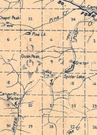
The Dusk Point area in the 1930s was deep in the National Forest far from any roads. Due to the low elevation there were few summit tops with open views, including Dusk Point. A major trail passed through this area in the 1930s called the Summit Horse Trail. This trail also had a telephone line. The Summit Horse Trail crossed the south ridge of Dusk Point at the first low gap between the Middle Fork Satsup and Canyon Creek. Even as late as the 1950s, maps still had no roads reaching the Dusk Point area, just trails. There have been no known lookouts in this area during the 1930s. Even the nearest known fire lookout camps being used in the late 1930s like Grisdale Hill and Anderson Butte were far away and had no fire protection coverage of this region.
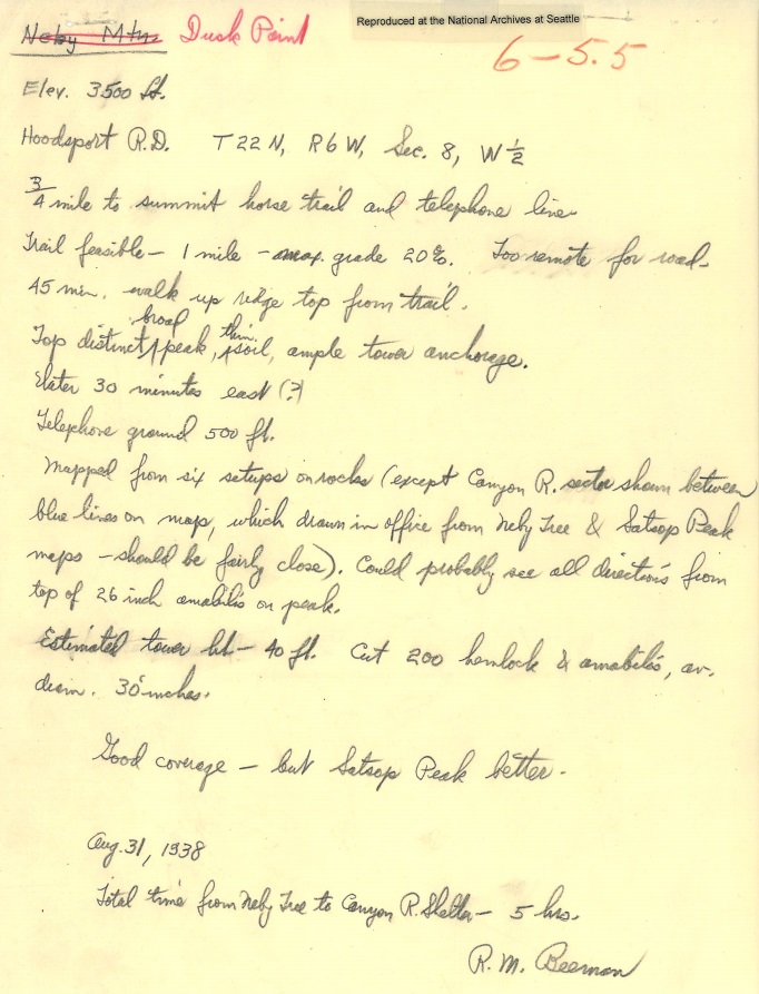
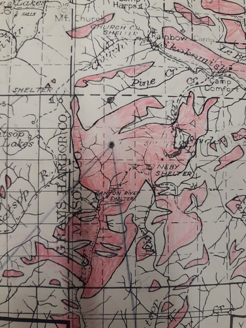
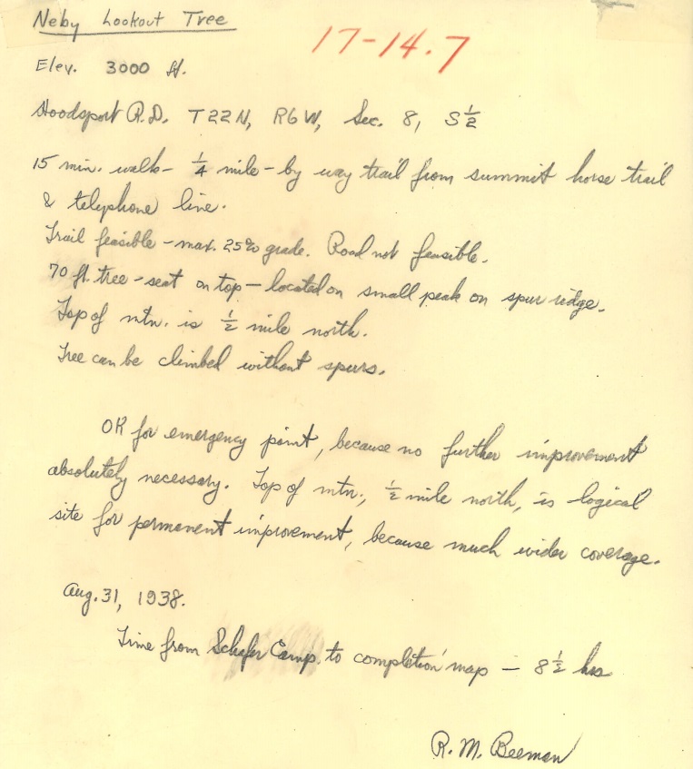
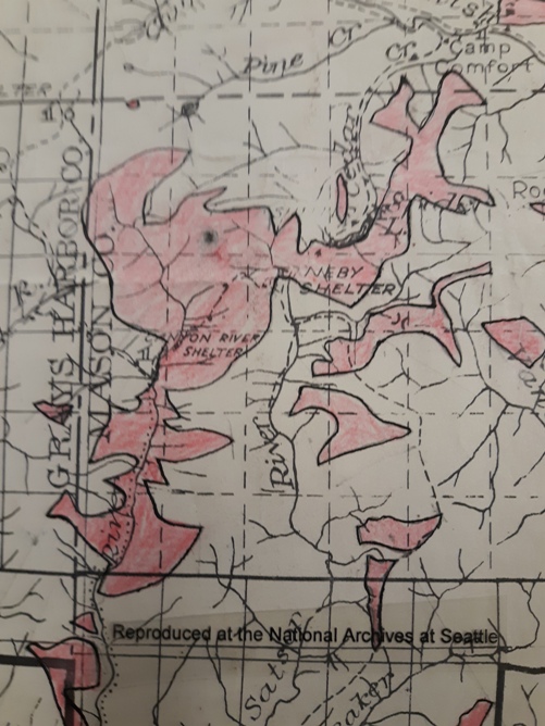
On August 31st, 1938, R.M. Beemen wrote an evaluation report for the Forest Service about a location called the Neby Lookout Tree. It was located near Dusk Point and Spider Lake. The name Neby appears to come from the Neby Shelter, located along the Summit Horse Trail at the base of Dusk Point. In his report, he says the Neby Tree was a 1/4-mile walk by way trail from the Summit Horse Trail and telephone line. He described the tree as 70 foot tall tree with a seat on top that could be climbed without spurs. The location he described as a small peak on a spur ridge, one half mile south of the top of the mountain (Dusk Point). He continued saying the location was ok for an emergency point because no further improvement was absolutely necessary. But he did say that the top of the mountain a half mile away to the north was a logical site for permanent improvement because of the much wider coverage. He also hiked up to the top of the mountain calling it Dusk Point and he did an evaluation study there. It is unknown if Dusk Point was ever realized but the site was certainly considered. (Kresek has Dusk Point in the Lookout Inventory as 1930s Unknown). No official trail existed to the tree, just the way trail he describes, and his description saying a permanent trail is feasible with a max of 25 percent grade, and no road is feasible. Mr. Beemen also drew visibility maps at both the Neby Tree and Dusk Point showing what forested drainages the lookouts could view for protection.
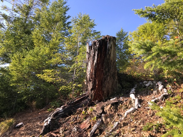
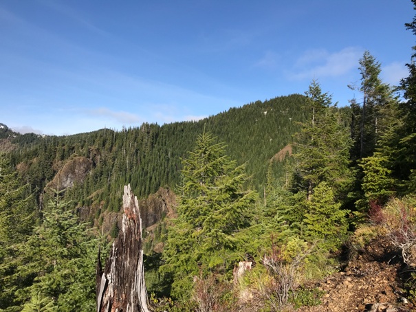
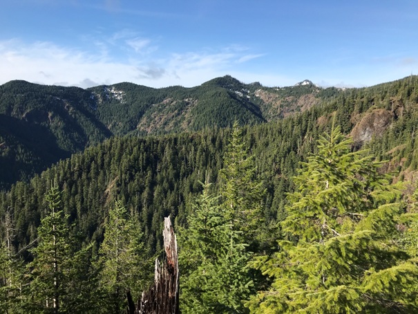
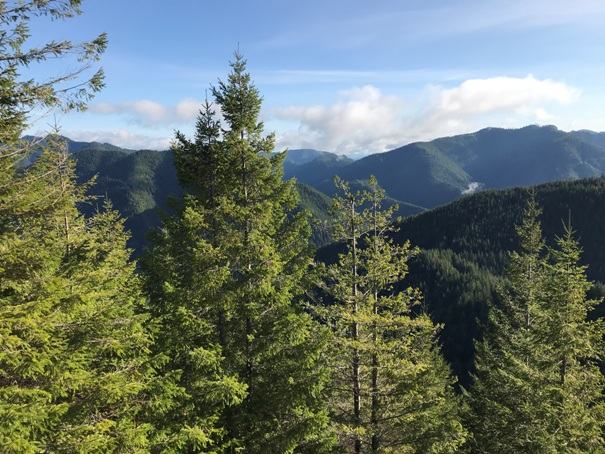
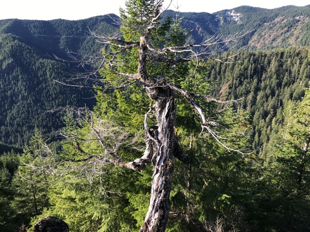
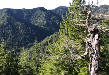
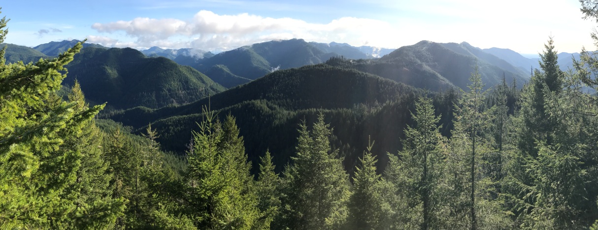
This ridgeline was not logged until the late 1970s. No relics have been found on site but exactly a half mile down from Dusk Point on the ridgeline is a small peak on the spur ridge as described. The small peak rises about 30 feet above the rest of the ridgeline. On this peak there are large stumps and cliffs which open the view even from the ground level. In 2020, there are views from the ground at this location (pictures below).
Lookout Elevation: 2,640 feet
Hiking Distance: Half mile
Elevation Gain: 600 max
Access: Good Gravel
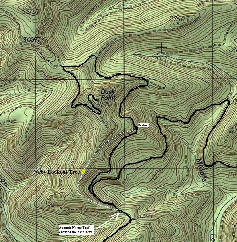
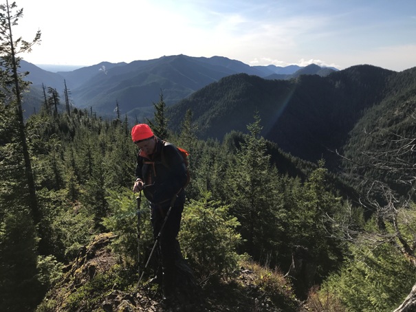
You can hike an old spur road off FR 2364 to reach the ridge just above the site, then drop down the ridge. You could also park on FR 23 at the ridge saddle where the old trail usto cross and hike up the ridge. Both routes are a bit of a bushwhack. We did a loop hiking the old spur up to the ridge, then going down the ridgeline to the saddle and walking FR 2364 back to the car.
Looking North and Northwest with Dusk Point on the right.
Route:
Looking East, Northeast
The main Forest Service road through the Southeast Olympic National Forest is Forest Road 25. The location is just above the junction of Forest Road 23 and 2364.
Access:
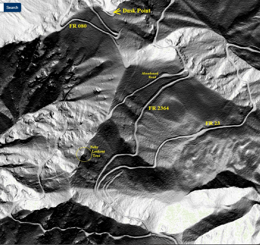
Lidar map of the ridgeline
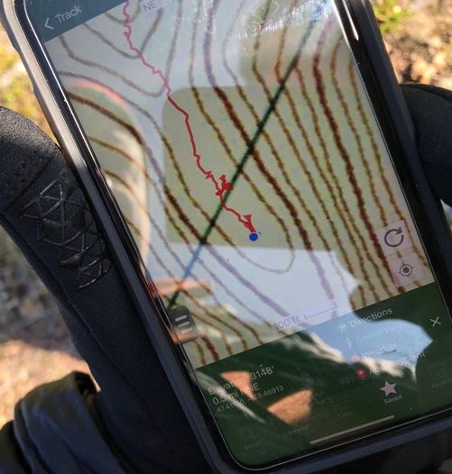
Location of the peak on the ridgeline, just south of the section line.
White dots is the route we walked.
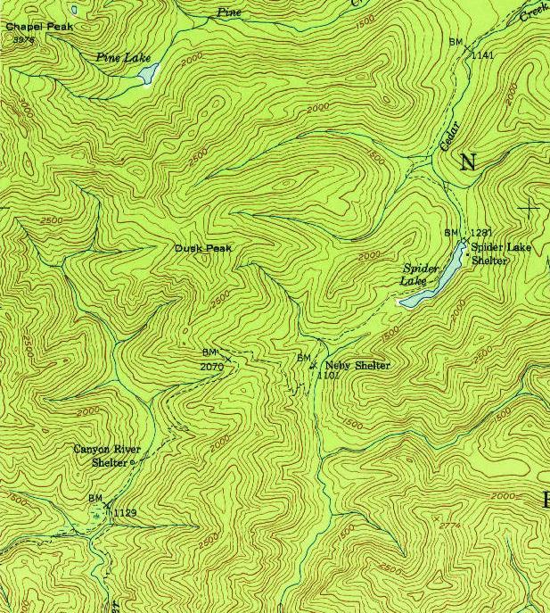
1953 USGS showing the Summit Horse Trail crossing the gap between the Neby Shelter and Canyon River Shelter. R.M. Beeman said the Neby Lookout Tree was 15 minutes up from the trail.
Neby Lookout Tree evaluation
Dusk Point evaluation
Neby Lookout Tree visibility map made by R.M. Beeman in 1938.
Dusk Point visibility map made by R.M. Beeman in 1938.
Large stump on the ridge
Looking Northwest
1955 Metsker map showing trail and shelters. Calling Dusk Point, Dusk Peak.
View to the East from Neby Lookout Tree
Looking South
Looking Northwest


