Little Blue Grouse Mountain Lookout
WillhiteWeb.com
The Lookout Inventory says that this lookout had a pole platform tower in 1923 and a cabin, and that nearby Little Round Mountain was a patrol point for this lookout. In the 1930s, the lookout was abandoned, likely due to the much higher Boyer Mountain getting a structure.
The names here are a bit complicated. Little Blue Grouse Mountain is right near Boyer Mountain. Boyer was formerly known locally as Blue Grouse Mountain. The benchmark at the summit is even labeled as Blue Grouse. (But, there is an actual named Blue Grouse Mountain 8 miles to the SW in Stevens County, but not related). Looking at the news clippings from the 1920s, two articles mention a lookout on Little Blue Grouse Mountain in 1922. Another article mentions a lookout on Blue Grouse Mountain in 1926 but this was prior to Boyer Mountain being built, so I think it was for Little Blue Grouse Mountain, especially since it mentions nearby Sacheen Lake.
On July 1, 1922, the Spokesman Review wrote that “Fire Warden H. L. Baker has established a new lookout station on Little Blue Grouse mountain west of Sacheen Lake from which the south part of Pend Oreille county and parts of Spokane and Stevens county can be surveyed."
On September 16, 1922, The Spokane Chronicle reported that the lookout person on Little Blue Grouse Mountain was George Jones.
On June 10, 1926, the Spokane Daily Chronicle reported, "In the Newport district the lookout is on Blue Grouse Mountain in the Sacheen Lake district with Richard Smith as lookout."
This next article in 1930 mentions Boyer Lookout on Blue Grouse Mountain.
In June 1930, the Newport Miner reported: “Lookouts go to their stations today. Ernest Hart is to be stationed at Boyer lookout in the southwest part of the county on Blue Grouse Mountain.”
Lookout Elevation: 4,230 feet
Hiking Distance: 3.5 miles from the gate
Elevation Gain: 1,800 feet from gate
County: Pend Oreille
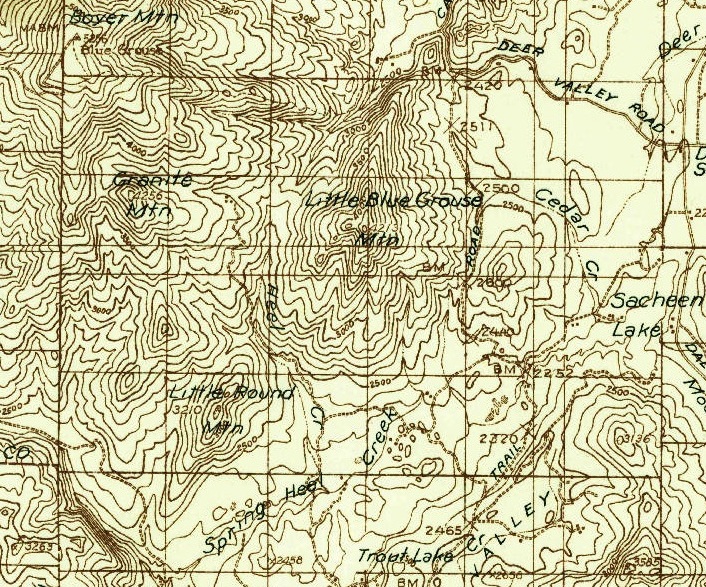
1936 Forest Service)
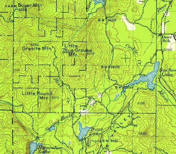
1936 USGS (1956 update)
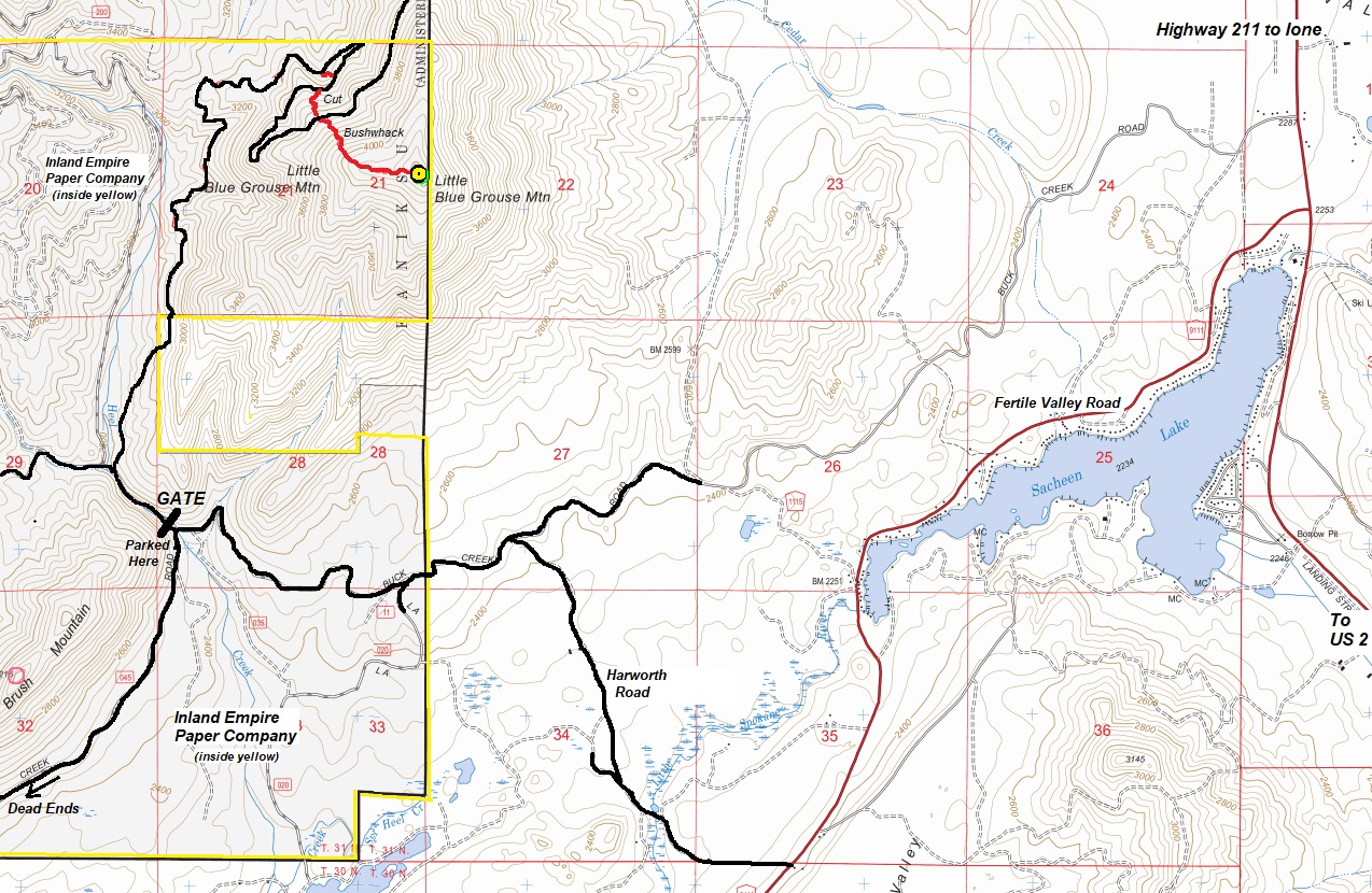
Access:
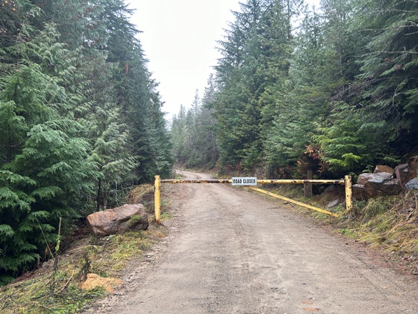
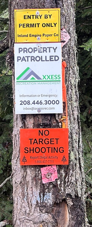
From Highway 211, take Fertile Valley Road (paved) across the top of Sacheen Lake to Harworth Road. Follow Harworth (gravel) to Buck Creek Road (NF 11). Take a left and go to the gate. The gate is open May 14 to November 1 but requires a permit, available online. As of 2024, the walk/bike permit was very affordable at $4. A driving permit was $18. Land ownership is Inland Empire Paper Company. Probably any car can get to the gate. The area is patrolled by security, most likely when gates are open. Gates close to protect roadway.
Route:
Logging roads can get you somewhat high up but then you must bushwhack. No easy bush routes have been found yet. I put my route on peakbagger.com but would only be good if there is snow crushing the brush. It does show some of the roads on the north side of the mountain. Good luck.
Lookout Site:
I checked out all the areas that seem likely for the lookout but found no relics. The summit is somewhat large so it would be easy to miss something. I also had snow on the ground but not enough that if something large was there, I would have seen it. Please contact me if you find anything.
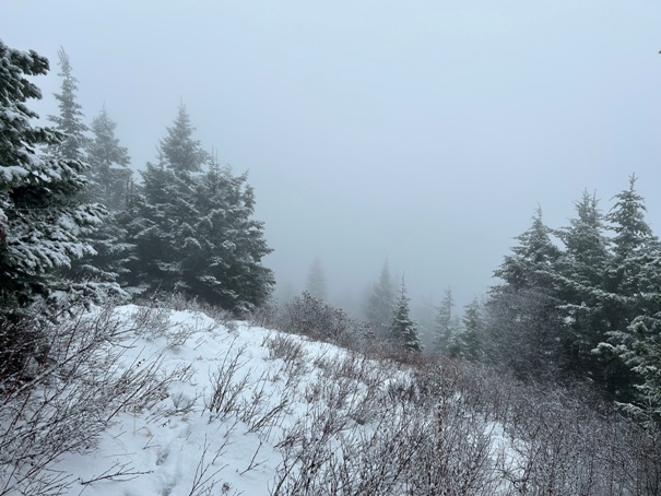
If the weater is good there is a partial view.
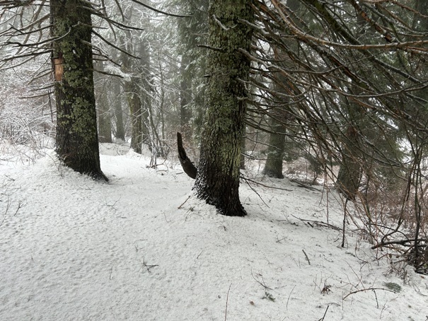
Some bigger trees at the summit.
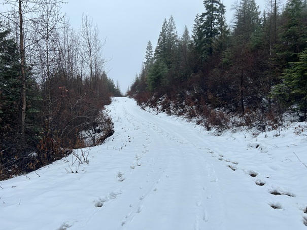
Walking the road.
Some signs at the gate in 2024.


