WillhiteWeb.com
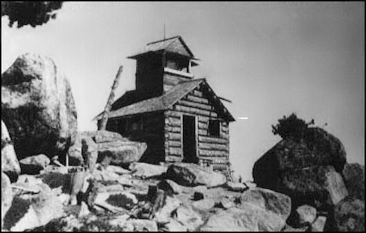
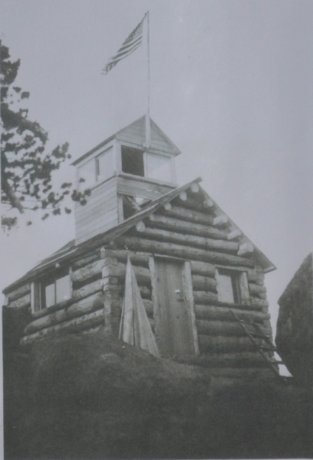
In 1930 a log cabin with cupola was built
In 1934 panorama photos were taken from the cabin 17 feet above the ground level. An additional 3 photos were taken 700 feet to the south on a rock outcrop with views down into the valley that the lookout site could not see.
In 1954 the cabin was destroyed.
In 1956, a USGS party visited the summit but did not report on any lookout building.
In 1973, a newspaper reported that "The Forest Helitack Crew working on Granite mountain this week removing the remains of the old Lookout and building a helispot. This will aid in pre-attack fire control."
Lookout Elevation: 7,366 feet
Hiking Distance: 5.5 miles one-way
Elevation Gain: 3,549 feet
County Okanogan
Granite Mountain Lookout Site
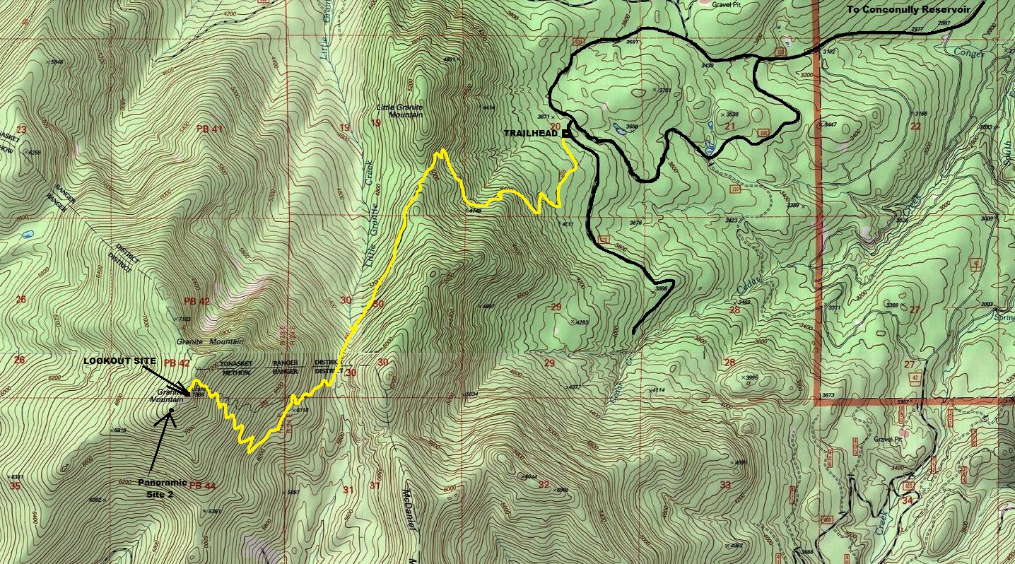
From Conconully, take County Road #2017 southwest around Conconully Reservoir for approximately 3 miles to the junction with Forest Service Road #42 and Forest Service Road #37. Take Forest Service Road #37 for 1 mile to the junction with Forest Service Road #3700-100. Take Forest Service Road #3700-100 for 4 miles to the Forest Service Road #3700-120. Drive the Forest Service Road #3700-120 approximately 200 yards to Trailhead sign. Park there.
Access:
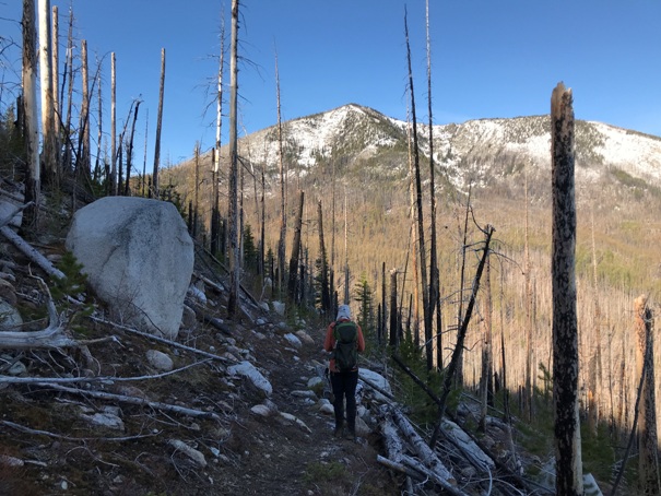
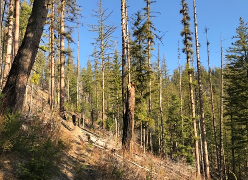
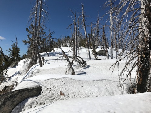
The trail takes you all the way to the lookout site. Just note that the upper portion of trail was hit by a fire and deadfall will be a problem for several years. All deadfall was cut in 2019 so the Forest Service is maintaining. We visited in Spring of 2020 and much has fallen over the winter. The trail is usually snowfree by the end of May. Even with snow on the upper section, travel is pretty easy and safe.
Route:
To reach the nearby patrol point, just follow the ridge south weaving around rock knobs. The rock outcrop that the images were taken from is the last remaining rock outcrop before a big drop down the ridge. An easy scramble will get you to the top.
Supplemental Patrol Point


Looking North 1934
Looking Southeast 1934
Looking Southwest 1934

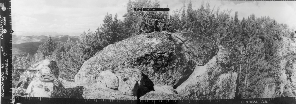

3 Supplements from Patrol Point
Looking North
Looking Southwest
Looking Southeast in 1934
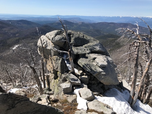
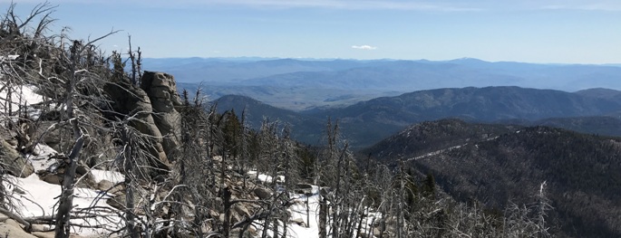
To reach the nearby patrol point, just follow the ridge south weaving around rock knobs. The rock outcrop that the images were taken from is the last remaining rock outcrop before a big drop down the ridge. An easy scramble will get you to the top. Since this site is less than a quarter mile from the main site, I did not list it separate.
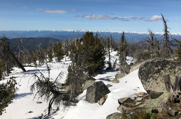
Looking Southeast in 2020
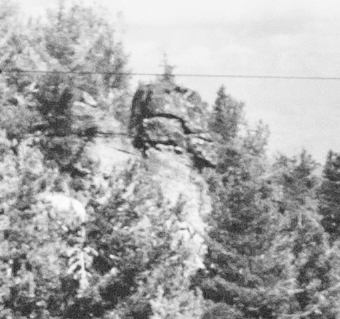
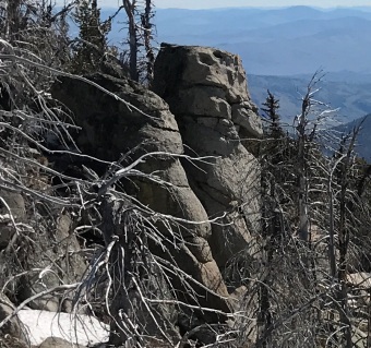
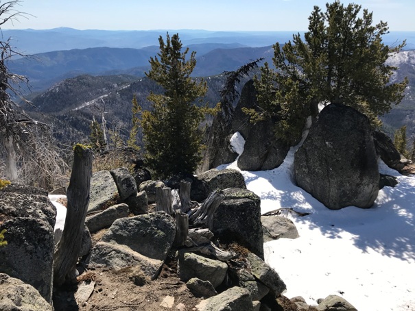
In the Southeast view of 1934 and 2020 is this rock formation
This is the rock knob that the photo team went to for the supplemental shots in 1934
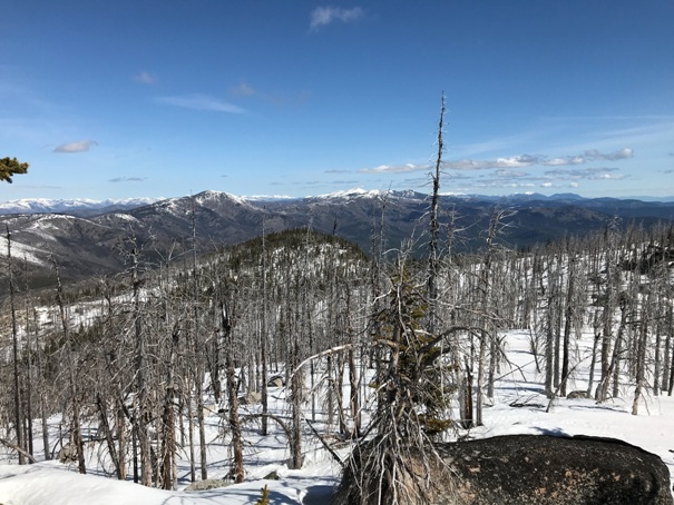
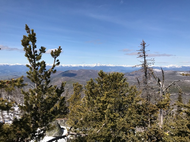
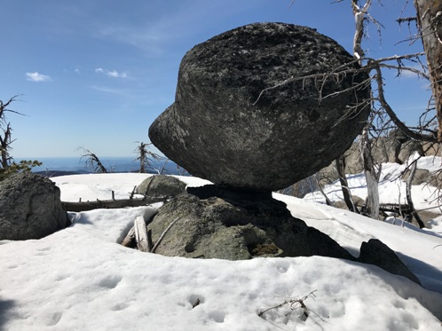
Balancing boulder on the ridge (much bigger then image appears)
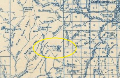
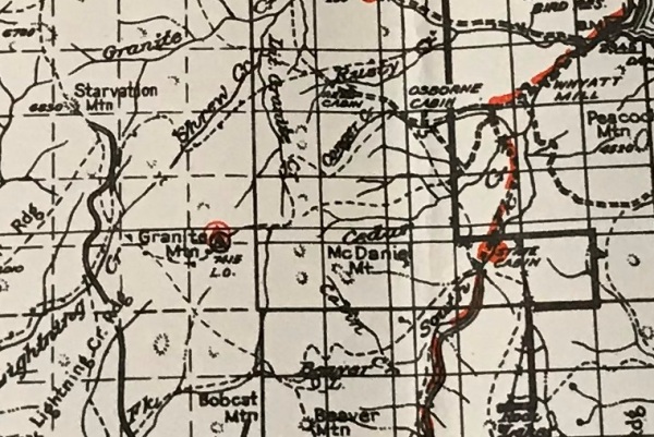
1950 metsker
National Forest map showing phone line went to the west (we found no insulators along the trail)
Granite Mountain Lookout
Granite Mountain Lookout in 1942
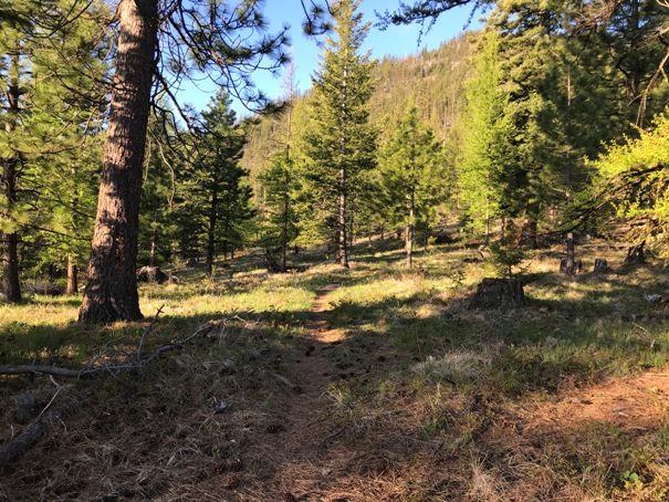
Near the start of the trail
On the trail with the mountain above
On the trail
Summit ridge in snow
Lookout site with original cut trees everywhere (someone please cut the new ones)
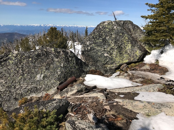
Stovepipe at the lookout site
Views to the north
Views to the west
Looking south toward the patrol point
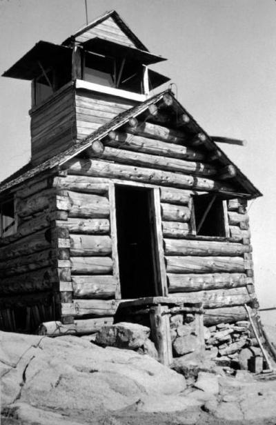
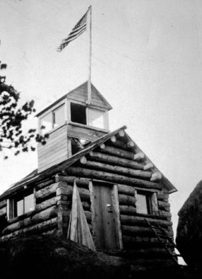
Same image as one at top of page but more clear


