Crowsnest Lookout Site
Lookout Elevation: 2,000 feet
Hiking Distance: 0.3 miles
Elevation Gain: 200 feet
Access: Good Gravel Roads
WillhiteWeb.com
Used as an emergency lookout point, Crowsnest Lookout is a name, not necessarily a crows nest tree. But, nobody really knows yet what was there. In 1952, the road existed to the top and the entire ridge was clear of trees. There are 2 pieces of evidence of the location.
The first is the labeled location on the Forks ELO (emergency lookout) map, giving a general location but not a pinpoint location. The map has no date but is post 1954.
The second is a pinpoint location of the final spur road junction that leads to the lookout site. When USGS surveyors were in this area setting a benchmark in 1954, in their road directions, they passed a spur road saying “the road fork which leads to the Crows Nest Lookout”. Where this road junction was located, the side road climbs steeply up to a high point and large landing, where it dead-ends. It seems obvious that this must be the location of the Crowsnest Lookout.
Just north of Forks, paved FR 29 heads into the hills east. Follow to the major junction with FR2923. Go left and up good gravel to the road junction mentioned by the survey party on the old C-Road (today FR 2923). The old azimuth station mark is just 0.35 miles east by road from this junction but we could not find it. A recent thinning has changed the ground cover considerably. You can also reach this easily from the Hyas Lookout area.
Access:
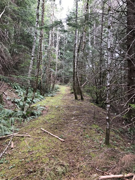
From the junction, the road has become abandoned in just the last few years. Walk up the road and past point 2029. A short side trip up point 2029 are some social trails and lots of beer cans. It seems there was a good view up there for many years. Continue on the road to the end at the highest point, a large landing and likely emergency lookout location.
Route based on surveyors description:
To cover your basis, you can also visit the location area that the ELO map shows. From the landing, take a nice trail down the ridge in the forest. This trail has been there a long time and hints of a possible former access trail to the ELO site. The trail drops to a saddle and then climbs up to point 1971. This is the area shown on the map as the lookout location. Interestingly, there is a large landing here as an old logging road comes from the other direction and ends. There was never a road connection between the two landings. Currently, the Forest Service is planning a timber thinning of the ridge where the trail is located.
Map Location
How did the survey crew know about the Crowsnest Lookout? The slopes above the road before the intersection were clearcut in 1954. It was very possible they could look up and see the structure, whatever it was. Another possibility was a sign at the road junction. I have found that most survey crews were unfamiliar with the details of fire lookouts so it is surprising they even made mention of one that wasn’t directly involved with the station mark they were setting in place. The survey crew was headed over to Hyas Mountain where they set several benchmarks. Their Azimuth mark was right near the Crowsnest intersection so that is why they brought it up.
My Thoughts
You can use map drawing tools to follow the access road description up from Forks. The mileages match perfectly at all junctions. The Azimuth location is just 0.35 miles by road to the East of the intersection with the spur up Crowsnest.
Finding the Azimuth Mark to confirm the road junction.
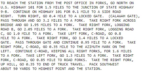

This is the directions to the Hyas Benchmark from the town of Forks. On line 10, this Data Sheet mentions a FORK and in line 11, that fork is .035 miles West of the Azimuth Mark.
Further down the Data Sheet, in the detail about the azimuth mark, we learn that the FORK .035 miles just before the azimuth mark is the fork that leads to the Crows Nest Lookout. At that time, and still today, that road left climbs up to a dead-end at a most perfect lookout location.
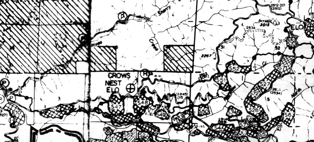
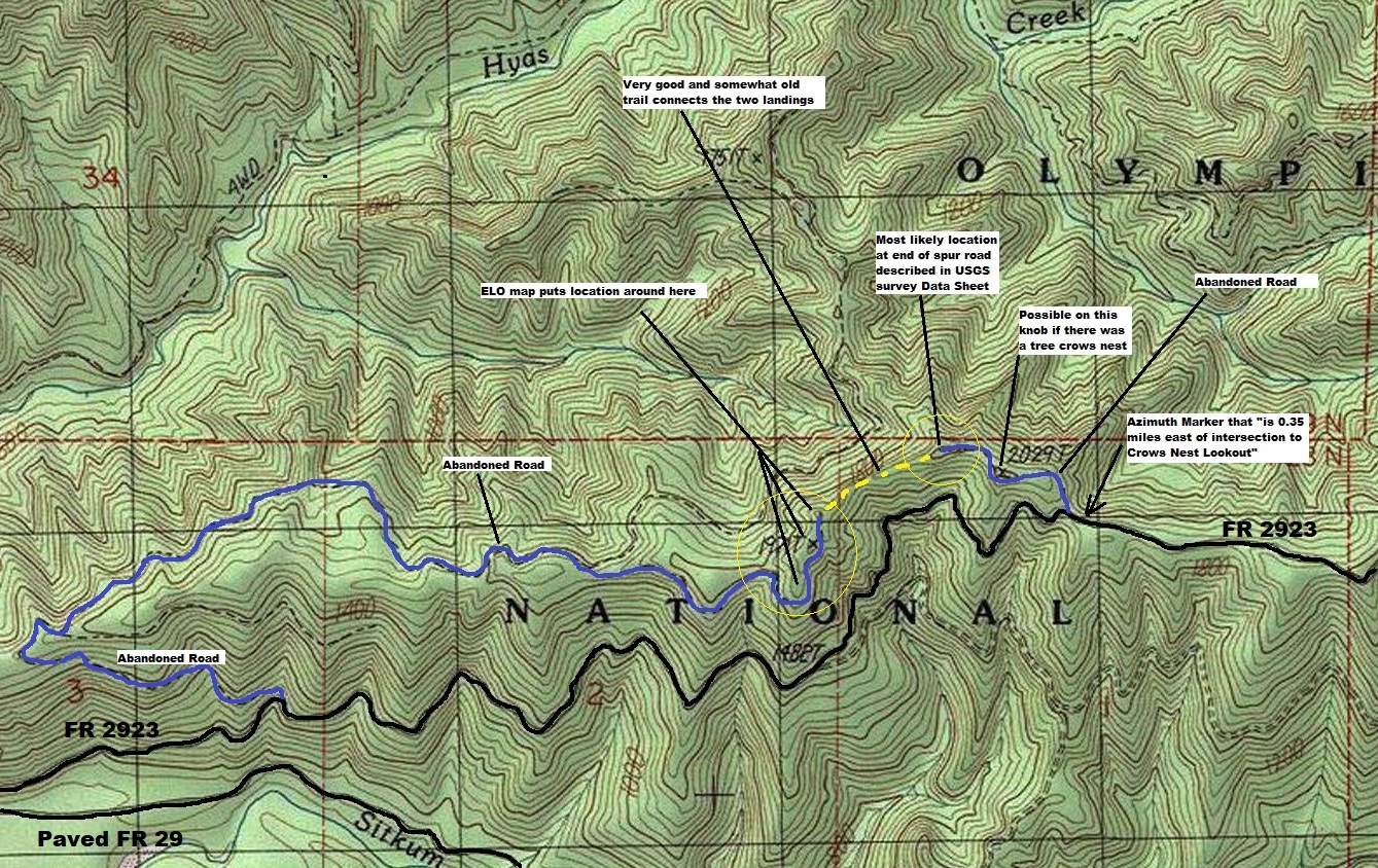
The end of the spur road has an H, where the lookout likely was located. The ELO marker on this map is further SW on the map where the lookout could also have been but different roads access those points.
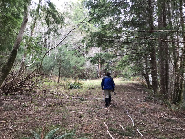
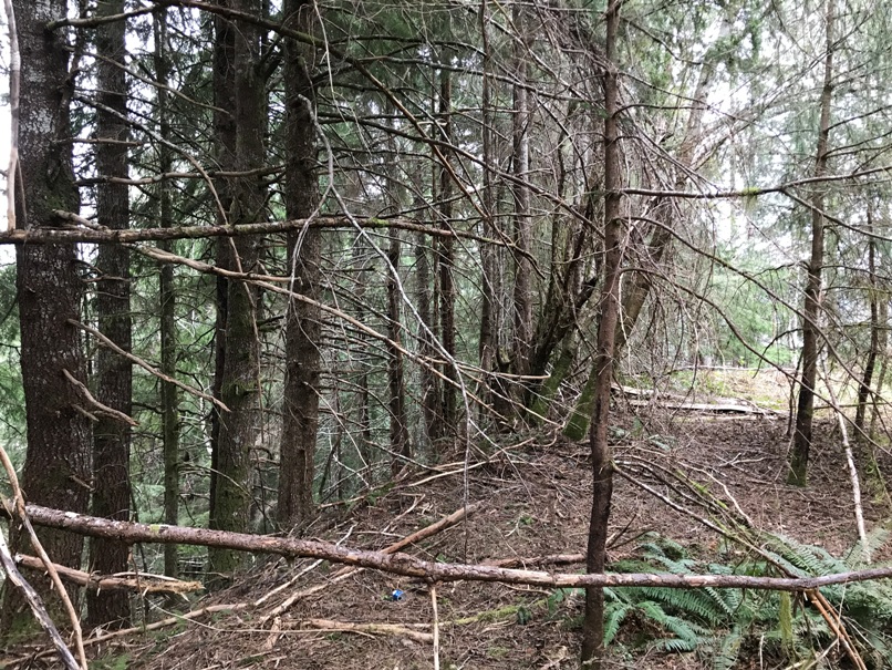
Arriving at the end of the road and the ridge point. Drops on three sides.
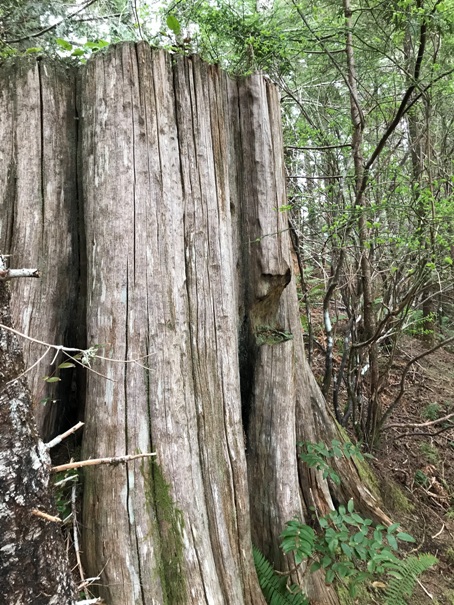
Large stump at point 2029
Starting up the road to the site
Map of our visit in 2020. Yellow circles are most likely areas.
Large flat landing


