Blue Mountain Lookout Site
WillhiteWeb.com
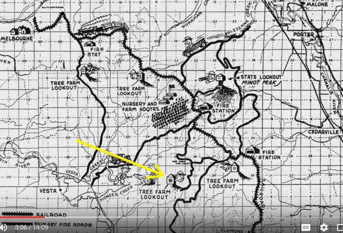
At the south end of the Clemons Tree Farm is Blue Mountain, where a Weyerhaeuser lookout once existed. There are two Clemons Tree Farm maps showing the lookout. The tree farm often boasted as having had five lookouts (Boyles, Vesta, LEM, Blue and Minot). Minot Lookout was a State lookout shared to cover State and private lands as it was located on the boundary.
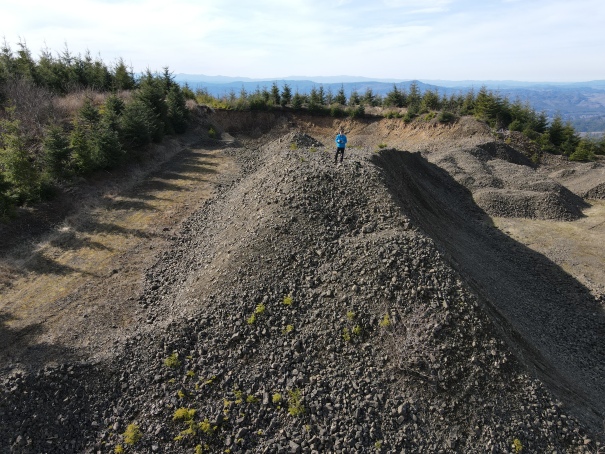
At the highest point of Blue Mountain, or just adjacent to it, is a large gravel pit. The Olympians felt that the Blue Mountain Lookout site could have been dug out by the summit gravel pit. I would agree. Given the mountain has a long flattish ridge, it really depends where the observation area needed to be as to where they may have located the lookout.
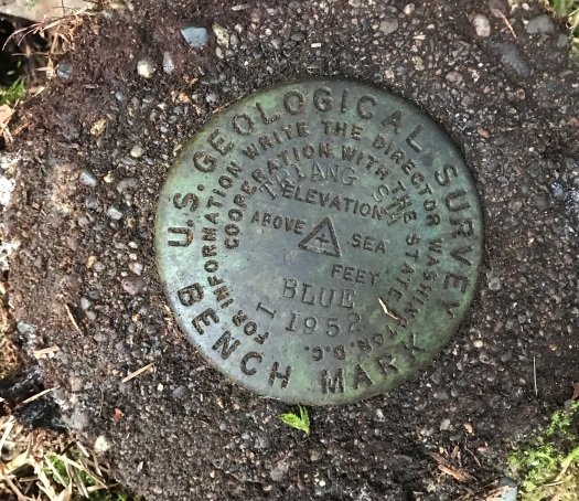
In 1952, the USGS placed a monument on the summit ridge. They said it was placed in a cleared area on the middle one of three tops of ridges not on the highest point. These monuments are still there today. No mention was made of a lookout at that time but the flatness and feel of the location sure hints there was once something. I searched the large flat area but found nothing. Just below the benchmark on a promontory to the SE was what looked like a structure on 1951 aerials. I searched this area but found nothing. Searching the highest point was difficult due to pre-commercial thinning debris, but no signs were found.
Lookout Elevation: Roughly 1,760 feet
Hiking Distance: 5 miles one-way
Elevation Gain: 1,600 feet
Access: Weyerhaeuser Aberdeen Permit Required
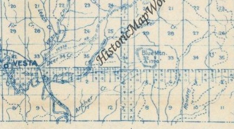
1951 Metsker showing a Tri. Station on the summit
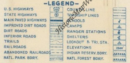
1951 Metsker legend
This map also shows the lookout in Section 32
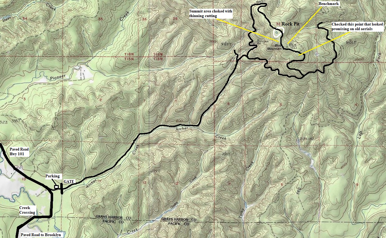
Topo map of the Blue Mountain area
Access:
Route:
As of 2021, this was part of the Weyerhaeuser Aberdeen Permit Area. A gate will stop you at the North River Road/Brooklyn Road 3 miles west of Brooklyn WA. Note the road is fully paved to the gate from the west but a nice section of gravel is the road East of Brooklyn.
Just follow the map. There are only a few side spurs so the route is mostly straightforward. Makes for a nice bike ride (except the uphill part). The benchmark is fairly easy to find on the middle highpoint, just a touch to the SE. Poke around at other locations and please let me know if you find anything, their easily be something I missed.
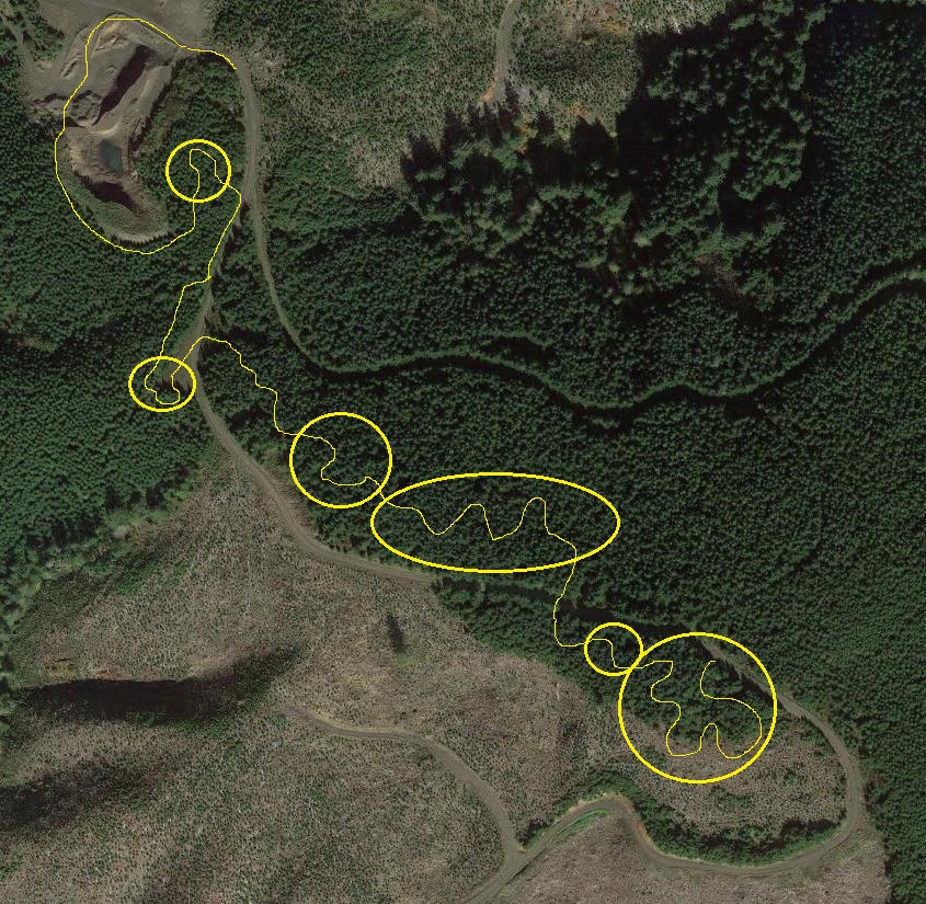


Aerial view and the areas I searched for footings
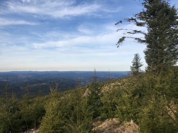
View West out toward the Pacific Ocean
View Northwest toward Aberdeen with the Satsop Nuclear Plant on right, Olympic Mountains in distance.
View South from drone above the rock pit
View Southeast from drone above the rock pit
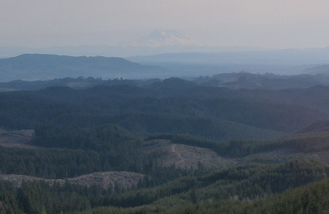
Hazy Mt. Rainier in distance
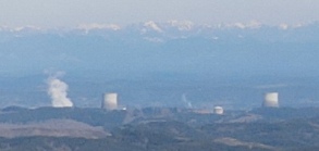
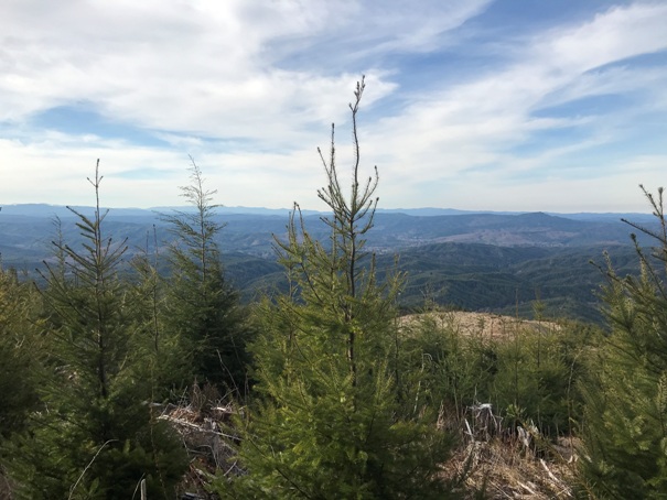
View from the ground at the promontory SE of the benchmark (SE top)
View from the ground at the promontory SE of the benchmark (SE top)
Standing on a giant rock pile in the rock pit
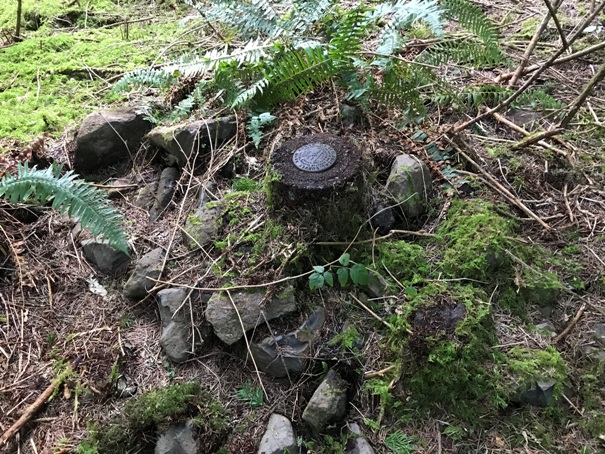
Blue Benchmark on Blue Mountain (2 inches of moss was covering it)
Blue Benchmark
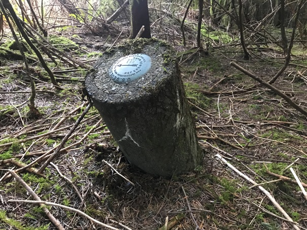
A directional benchmark pointing to the Blue Station Mark
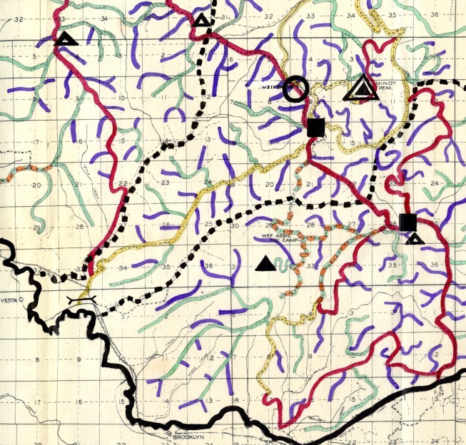
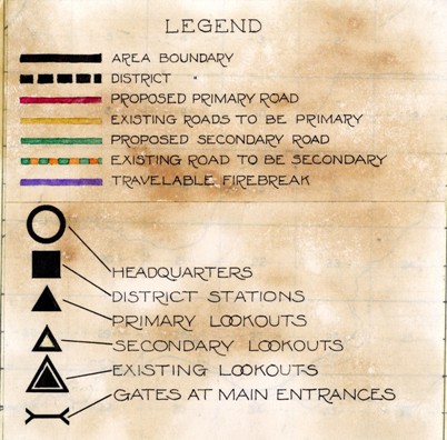
1941 Clemons Tree Farm Map
Lookout right in the middle of Section 32 (shown as a primary lookout)
The center of the section would be the rock pit area
Access road to summit was from the East


