Siler Bald
Siler Bald is one of those mountains along the AT that is so close, you just got to detour. The trail split is at Snowbird Gap, in a grassy area where the forest has been opened (possible fire break) and you can see most of the way up to the summit. So easy to skip (and most do), a visit is worth the 360 degree panorama, assuming the weather is good. There have not been many panoramic views to this point on the trail so drop the pack and start up the hillside.
WillhiteWeb.com
Elevation: 5,220 feet
Prominence: 1,074 feet
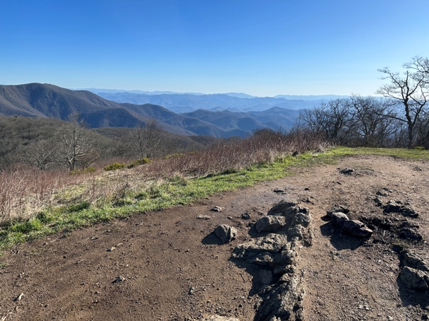
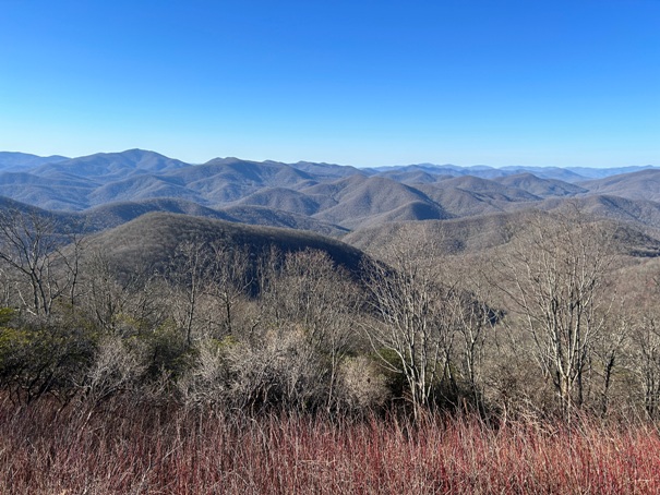
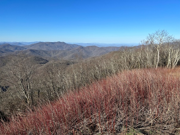
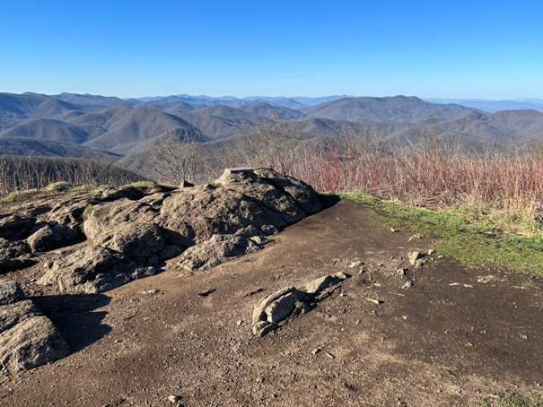
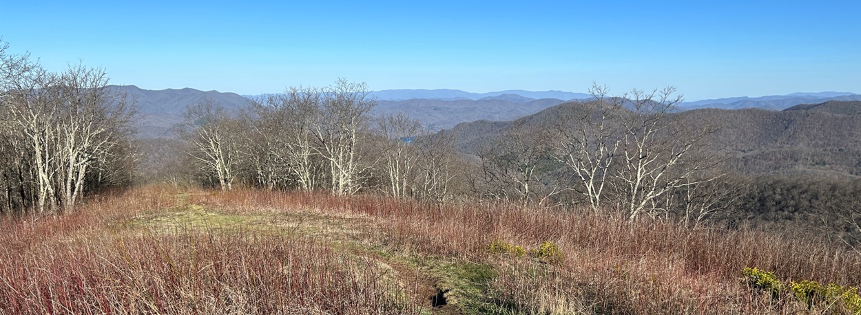
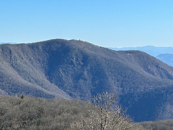
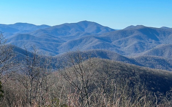
Standing Indian Mountain (center)
Looking West
Looking Southwest
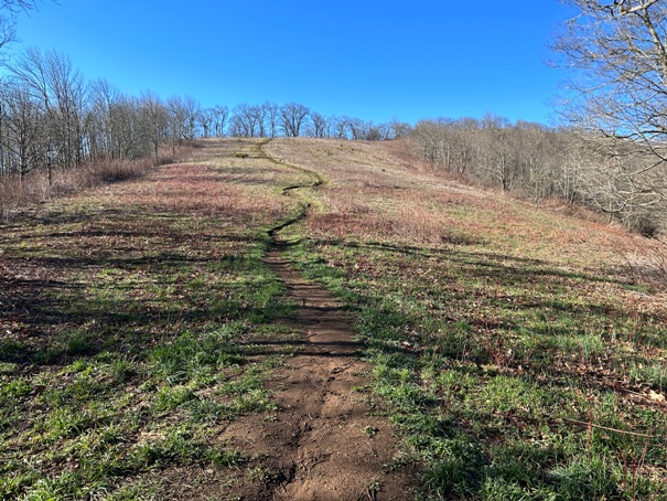
Trail up Siler Bald as viewed from the Appalachian Trail at Snowbird Gap.
Looking South
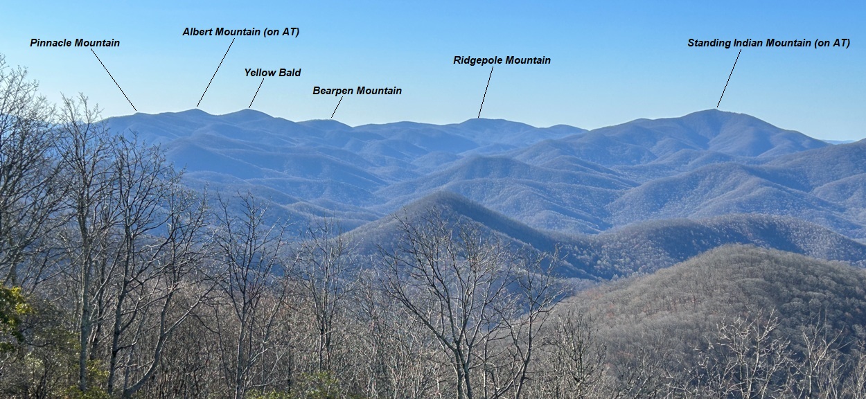
The Appalachian Trail runs this ridge from Standing Indian to Albert Mountain. The trail passes under Ridgepole and Bearpen Mountains.
Looking Northeast with a sliver of Nantahala Lake in view.
Looking North to Wine Spring Bald with the swath of timber cut for the powerline route to the communication towers.
Wayah Bald tower to the right Wine Spring Bald in image above this image.
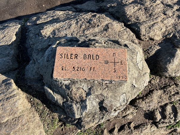
Marker on the summit of Siler Bald
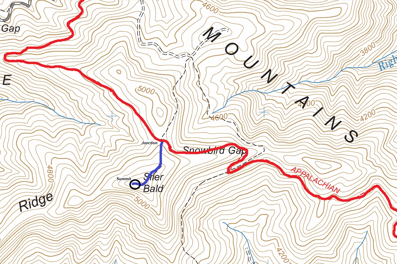
Appalachian Trail in red. Side trail to Siler Bald in blue.


