Nantahala Outdoor Center (NOC) and Cheoah Bald
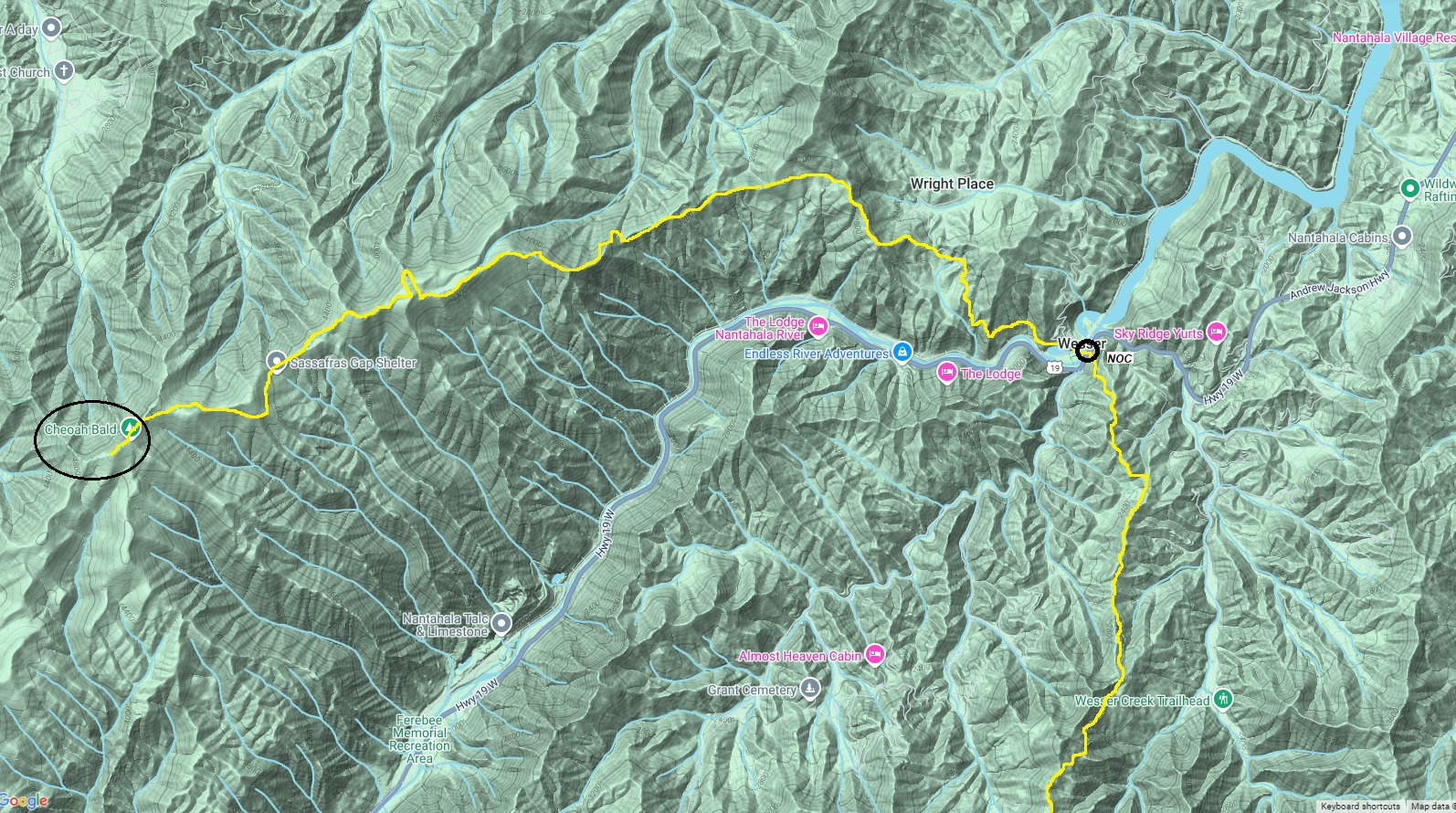
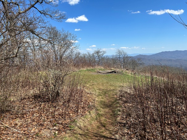
The NOC is an iconic milestone for thru-hikers to shop, eat and rest while traveling the AT. The Nantahala River cuts deeply through the Appalachian Mountains, so hikers must make a 3,500 foot drop in and a 4,000 foot climb out, reaching the summit of Cheoah Bald before the trail settles down.
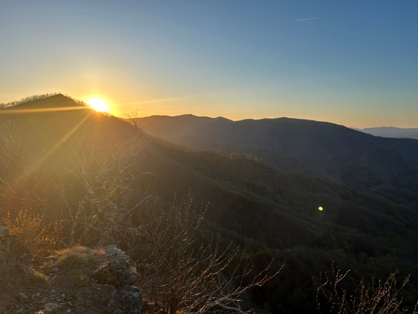
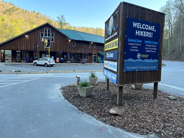
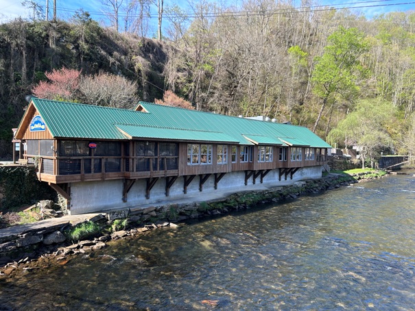
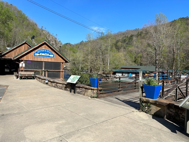
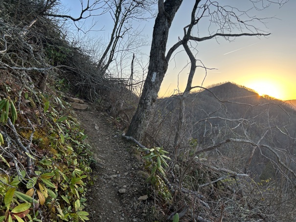
During my hike, I dropped about halfway down toward the river enjoying a sunset from the steep cliffs near the trail. There is a section here that is the first time you need to use your hands on the trail. In the morning, I finished dropping and arrived at the store just after opening hours. I purchased an inflatable sleeping pad to complement my small pad I thought I could get away with. Next I purchased some extra food from the market to make it to my next re-supply. Finally, I went into the restaurant that is located right on the trail. When the waitress asked me if I was a table for one, I just stared at her, finally saying yes. I think it was the first time I had ever sat alone at a restaurant and I vowed not sit alone at one for the rest of my AT journey. The climb out of the gap was brutal with a heavy pack, but once on the summit of Cheoah Bald, I distantly remember skipping a break and just continuing.
WillhiteWeb.com
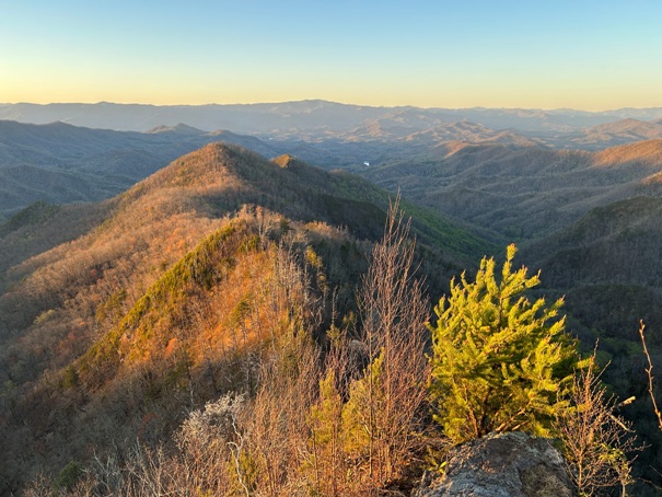
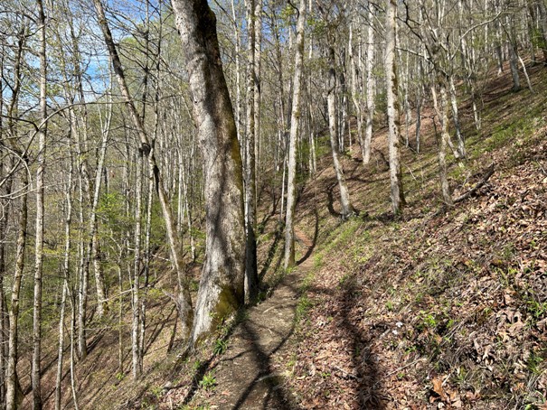
Evening light dropping down into the Nantahala River Valley.
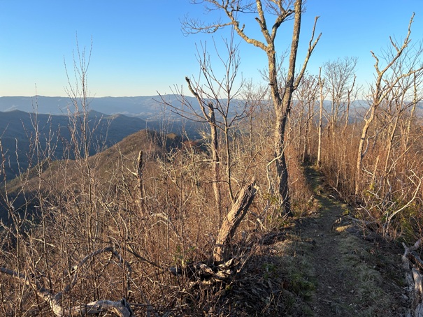
Narrow trail section just before the first class 3 steep drop of the trail.
Rare opening in the trail allowed for views during sunset while dropping.
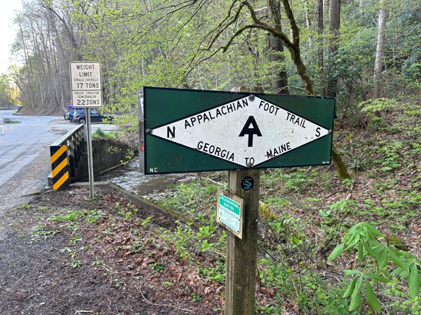
Highway crossing at Nantahala Outdoor Center.
Nantahala Outdoor Center
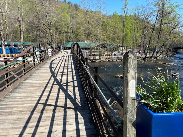
Restaurant on the trail. See white blaze on bridge crossing on right.
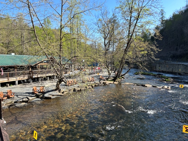
Restaurant on the trail is on the Nantahala River.
Crossing the Nantahala River
Crossing the Nantahala River
Hiking up the north side of the valley to Cheoah Bald.
Arrival at the summit
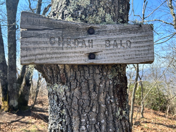
Cheoah Bald summit
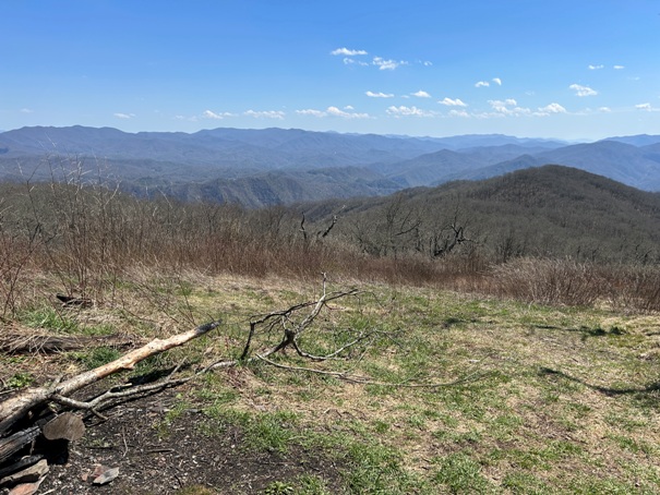
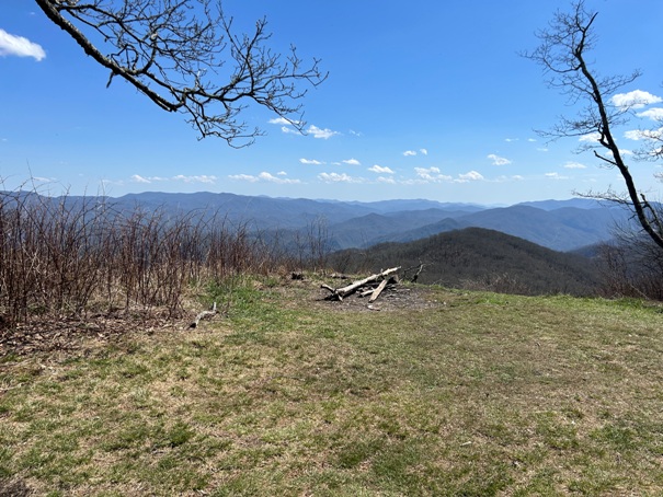
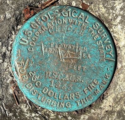
Cheoah Bald view and benchmark
Cheoah Bald view


