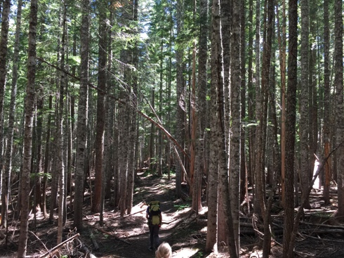
Spencer Butte Lookout Site
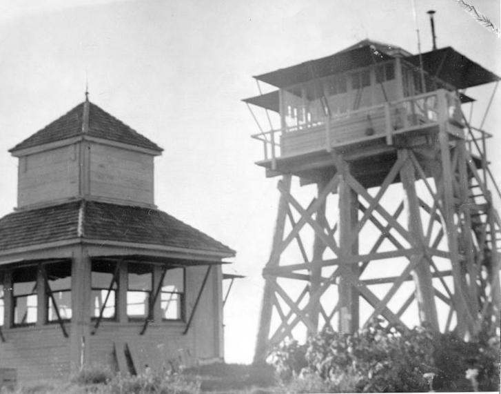
Spencer Butte was developed in 1920 as a lookout, soon receiving a D-6 cupola cabin. In 1938, an L-4 cab was placed on a 20 foot trestle style timber tower. Trees have returned to the wide flat summit so no views anymore. Spencer Butte has 807 feet of prominence so the view was pretty good. Be sure to also visit the Breezy Point Patrol Point.
Elevation: 4,247 feet
Distance: 1.6 miles one-way
Elevation Gain: 800 feet
Access: Any vehicle
WillhiteWeb.com
Access:
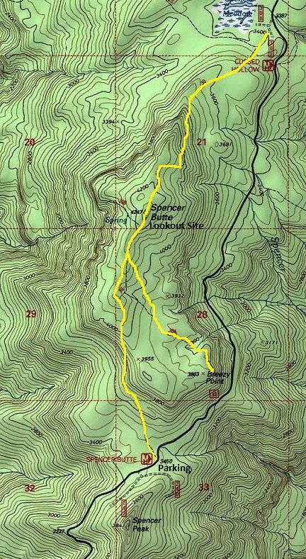
From FR25, drive paved FR93 around 7.6 miles to a high saddle with plenty of parking. This is the south trailhead. Further up the road is another trailhead for the north trail access. Hiking from the south is better if you also plan to hike to Breezy Point.
Route:
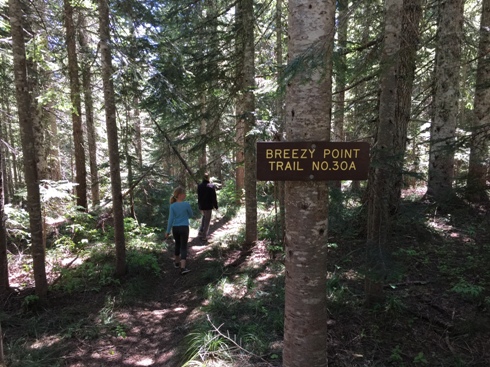
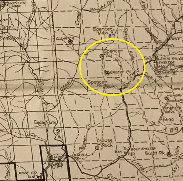
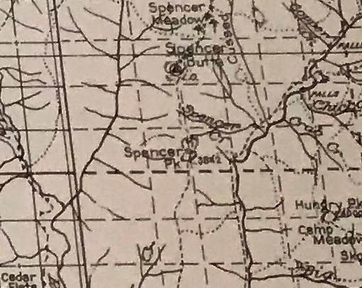
Just follow the nice trail to the summit of Spencer Butte. Maps show the Breezy Point junction in the wrong place. The Breezy Point Trail junction is just 0.3 miles from the summit on the right.
Spencer Butte Trail near the start
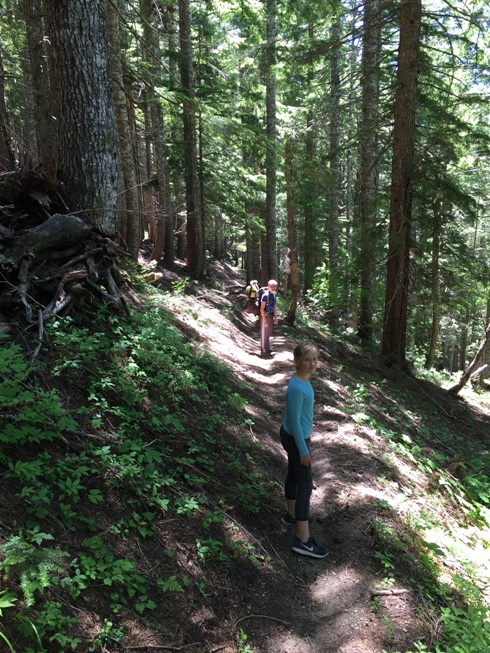
Spencer Butte Trail
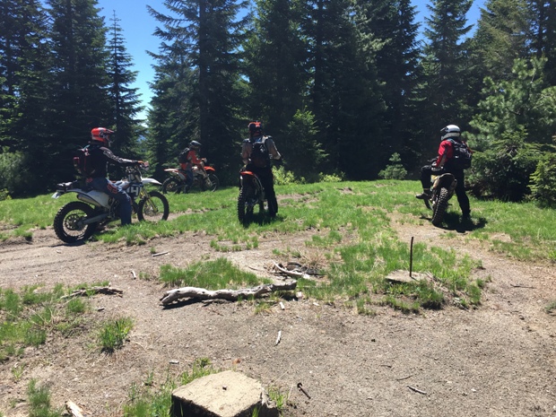
Motorcycles on the summit of Spencer Butte, note the 2 lookout footings
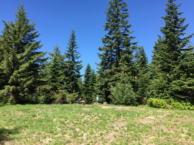
The lookout site in 2018
Turnoff and sign for Breezy Point Trail No. 30A
The two structures of Spencer Butte
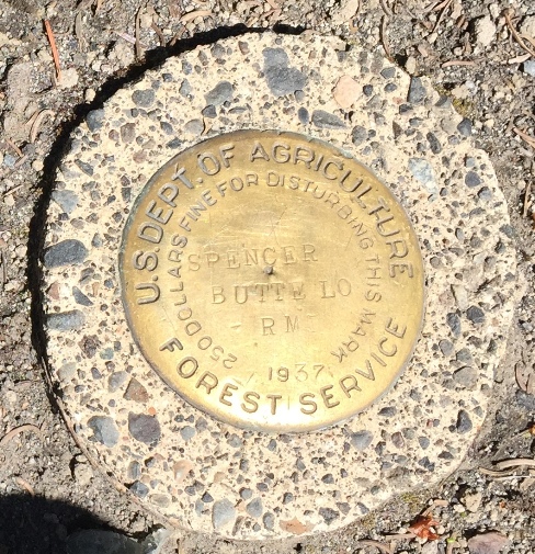
Spencer Butte LO Benchmark 1937
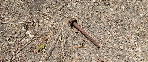
Some bolts, nails and glass still remain on Spencer Butte
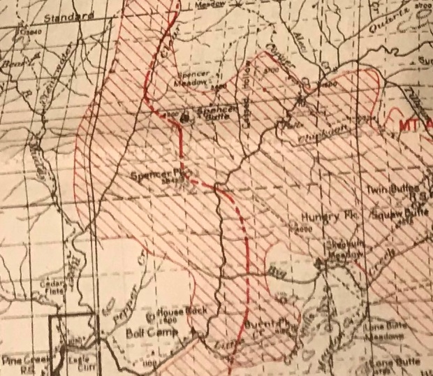
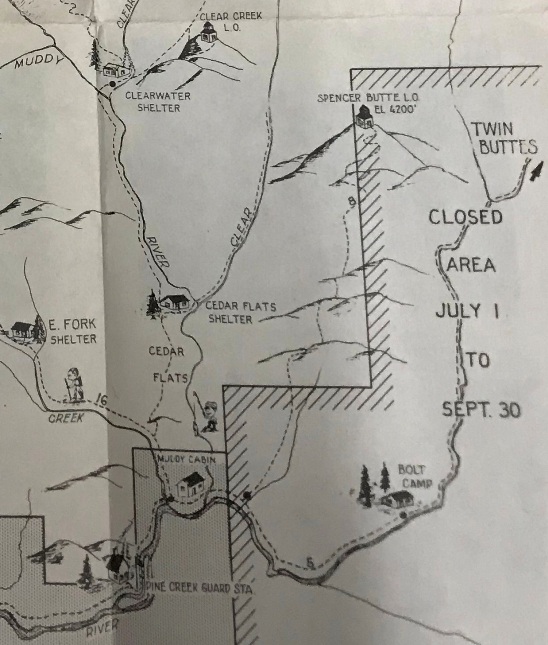
1936 Spirit Lake recreational map
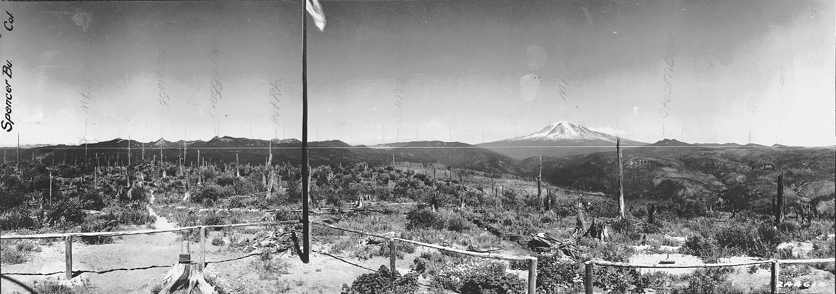


Looking South 1929
Looking Northwest 1929
Looking Northeast 1929
Breezy Point was just on the other side of the burned ridge (center left)
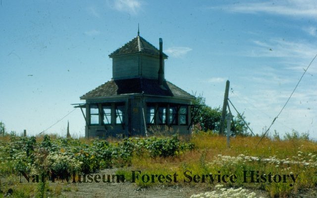
D-6 Cupola
The D-6 cupola and the L-4
Mount Rainier from Spencer Butte in 1950
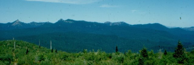
Cispus River/Lewis River Divide from Spencer Butte in 1950
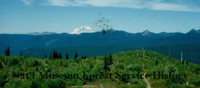
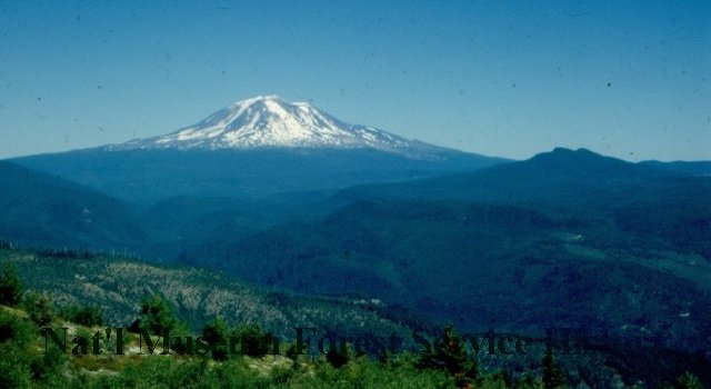
Mount Adams from Spencer Butte in 1950
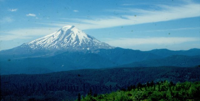
Mount St. Helens from Spencer Butte in 1950
1925 Columbia National Forest map
1932 Columbia National Forest map
1940 Columbia National Forest map


