Breezy Point Patrol Point
Breezy Point was a patrol point for Spencer Butte Lookout. The Gifford Pinchot website guide states that the Breezy Point Trail #30A provides a 0.8 mile trail to the location of an old fire lookout where the base for a fire finder can be still seen (since removed). According to the trail guide book Hiking Washingtons Goat Rocks Country by Fred Barstad, he wrote that Breezy Point was used as an emergency fire lookout because it provided a view down into the Lewis River Canyon, which was not possible from the top of Spencer Butte. He also said the lookout was used after lightning storms, when the possibility of lightning causing a fire was high.
Elevation: 3,863 feet
Distance: 2 miles
Elevation Gain: 700 feet, 300 on return
WillhiteWeb.com
Access:
From FR25, drive paved FR93 around 7.6 miles to a high saddle with plenty of parking. This is the south trailhead. Further up the road is another trailhead for the north trail access. Hiking from the south is better if you plan to hike to Breezy Point.
Route:
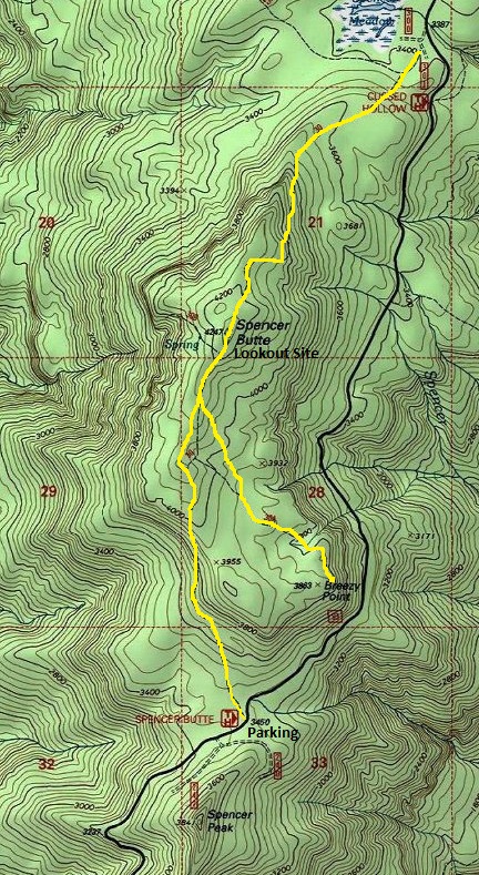
Just follow the trail to the summit of Spencer Butte. Maps show the Breezy Point junction in the wrong place. The Breezy Point Trail junction is just 0.3 miles from the summit on the right. Drop down 0.8 miles to the patrol point. The Breezy Point trail is well defined for over a half mile before reaching the steep drop-off into the Lewis River Canyon. The trail turns southerly to parallel the steep eastern edge of the ridge and runs the edge of the ridge until reaching a little point sticking out with a few artifacts remaining.
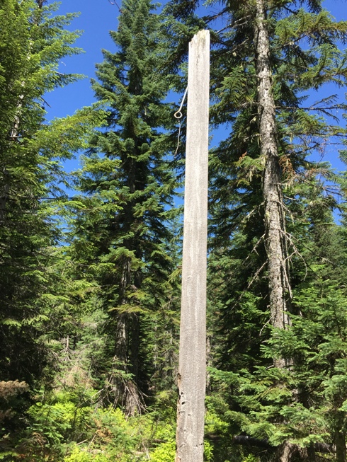
As we got near Breezy Point, we found this pole with eyehole used for the telephone line. When Breezy Point and Spencer Butte were in use, the trees were all burned down so poles had to be used to elevate the phone line. This also confirms there was a phone line to the patrol point.
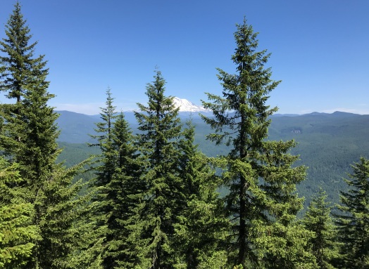
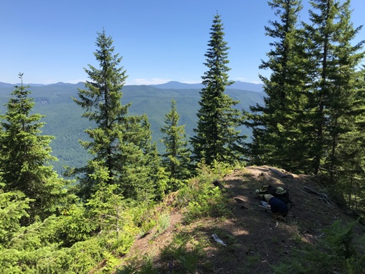

View from Breezy Point in 2019
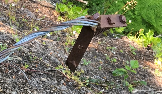
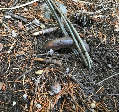
There are 2 tie down cables anchored into the ground with this at the ends. Not sure how or what needed to be anchored down to the ground with a long cables. Three bolts to hold it.
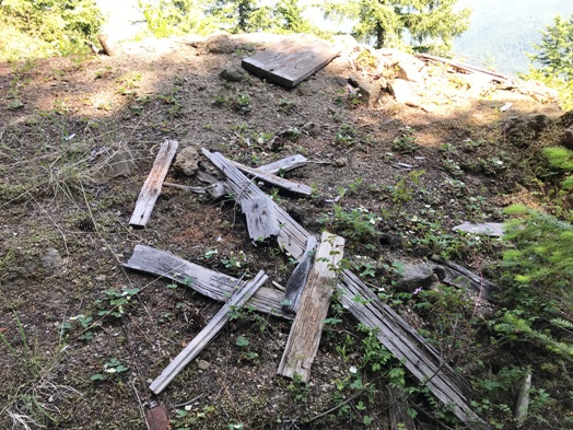
Likely wood from the old firefinder stand
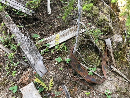
Anchors in the ground for the tie down cables.
View of Breezy Point in 2019
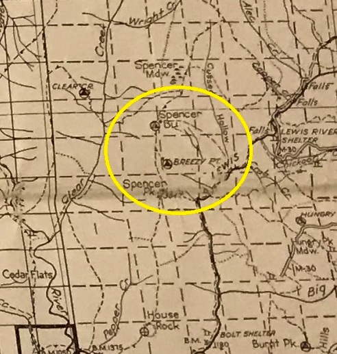
1940 Columbia National Forest map
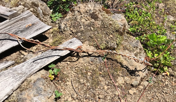
More wire
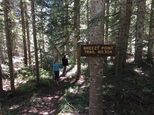
The short trail to Breezy Point was signed off the Spencer Butte Trail
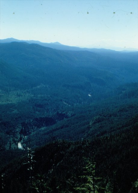
Looking into the Lewis River Valley in 1950 from Breezy Point
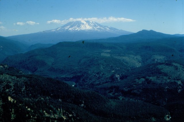
Looking to Mt. Adams in 1950 from Breezy Point


