

North Ridge Lookout Site
North Ridge had a 40 foot pole tower with an L-4 cab on top. It was built in 1932 and demolished in 1955.
Access
There is trail access from the north but I did not research it. Multiple ways exist. I came in from South Cle Elum Ridge on the motorcycle trail since I combined this with Lookout Mountain. Take exit 78 off I-90 and head south. Make a left on Westside Drive and take it two miles to a right turn onto Woods and Steele Road. Follow to end of pavement where a dirt road will become Forest Road 4510 climbing Cle Elum Ridge. Follow to gate.
Elevation: 5,922 feet
Distance: Many options
Elevation gain: Depends on route
Access: Good Gravel
Kittitas County
Former Lookouts
Route
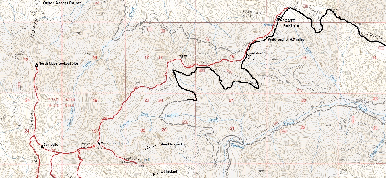
Hike the road past the gate for 0.7 miles. Grab the trail on the right and follow for 3 miles to a highpoint between Windy Pass and Lookout Mountain (we camped here). Now drop down to Windy Pass. Continue up other side, turn right at both trail splits. The trail passes right by the footings at the highest point of the ridge.


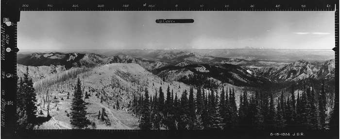
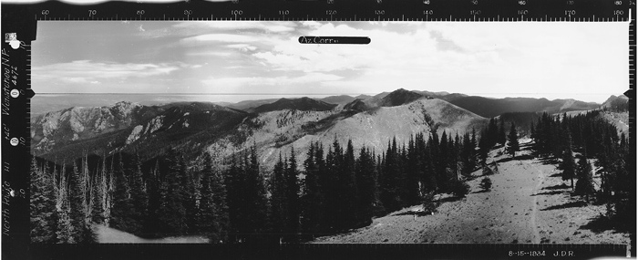
Looking Southeast - August 15, 1934
Looking Southeast - 2017
At ground level
Looking North - August 15, 1934
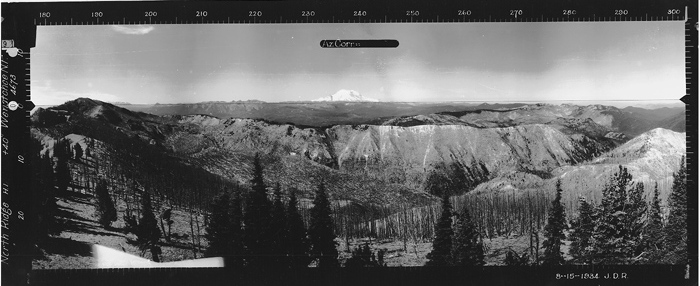
Looking Southwest - August 15, 1934
Looking Southwest - 2017
At ground level
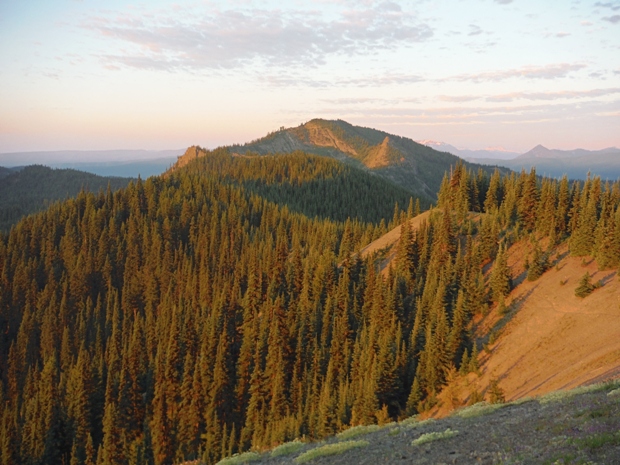

Looking North 2017
Views near Windy Pass
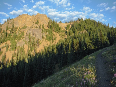
North Ridge
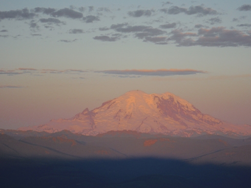
Mount Rainier at sunrise
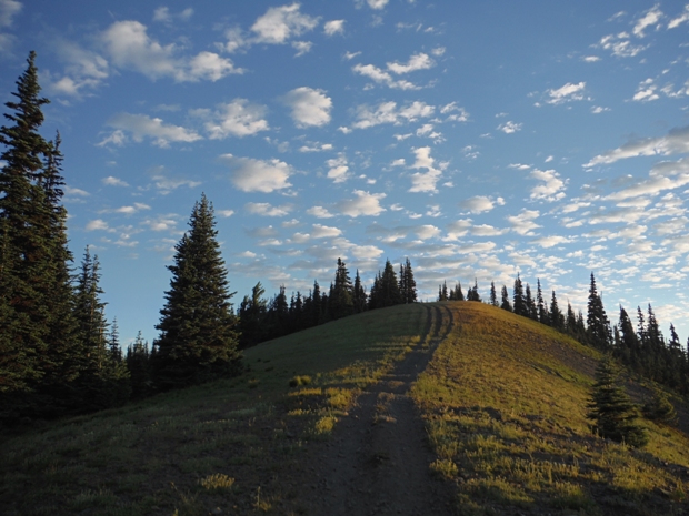
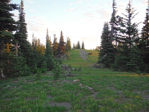
North Ridge lookout site at top of hill
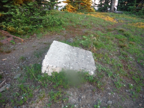
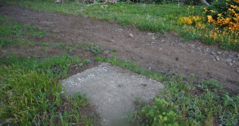
Footing
Footing
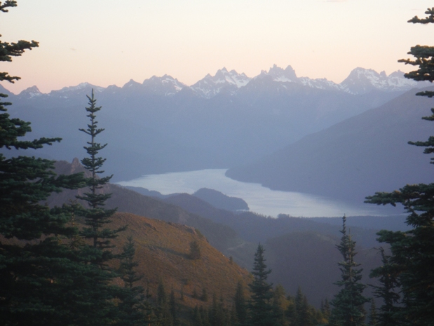
Kachess Lake
North Ridge hiking trail
Morning light on Mt. Clifty
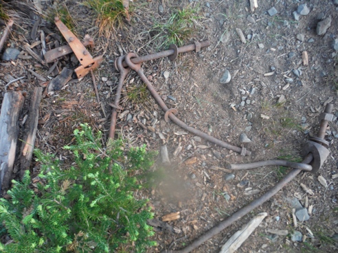
Remains of the lookout
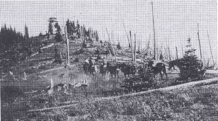
Packing gear to the North Ridge Lookout
Andy Tomchic at North Ridge lookout
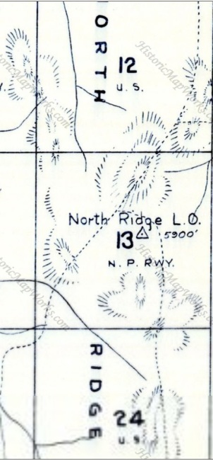
1956 Metsker Map
Access map from South Cle Elum Ridge approach which includes Lookout Mountain in route.


