Ten-Four Mountain
Ten-Four Mountain has around 2,700 feet of prominence making it one of the 100 most prominent peaks in Washington. But at only 4,384 feet high, it does not get visited very often by hikers. The north side of the mountain has a horse trail system open to the public. The land on the north side of the mountain is part of the Forest Legacy Program. Federal grant funds paid for a conservation easement that removed development rights from the forestland. Part of that agreement states the public must be allowed non-motorized access. The program is administered by the Forest Service, and carried out by the DNR.
Elevation: 4,384 feet
Distance: 7 miles one-way
Elevation gain: 4,200+ feet
Access: Paved trailhead
WillhiteWeb.com
From Sultan, go south on Mann Road, over the river and to a T intersection. For the horse trails, go left and follow to the end of the road to the Mann Road Trailhead (this is route I took but requires bushwhack). I would suggest taking a right at the T intersection and going 0.8 miles, then turn left onto 297th Street. Park at gate. Bring a bicycle on this route, no bushwhack.
Access:


I put my route from the horse trails on the map but I will not describe it because the 700 foot bushwhack is so horrible. Instead, follow the directions above for the road route. Just follow roads to Airplane Lake, then up to the former lookout site where you should find some views until the forest grows up. Unless you are a peakbagger, I do not suggest going to the true summit of Ten-Four Mountain. It has nothing to offer and requires a bushwhack near the summit.
Route:
Thee Fingers Mountain
Everett
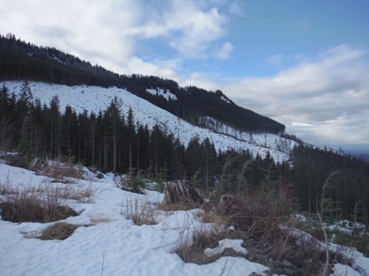
Ten Four Mountain from near the gate
Horse Trails map.

Looking Northwest
Blue Mountain
Mount Pilchuck
Three Fingers
Bald Mountain Ridge
View south from near the former lookout site.
Bellevue and Lake Washington, Seattle and Puget Sound
Mount Pilchuck
Bald Mountain
Airplane Lake
Looking North


Summit area of Ten Four Mountain.

View from Horse Trail Viewpoint.


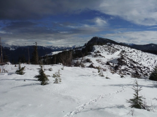
On the ridge working to the summit of Ten Four Mountain.
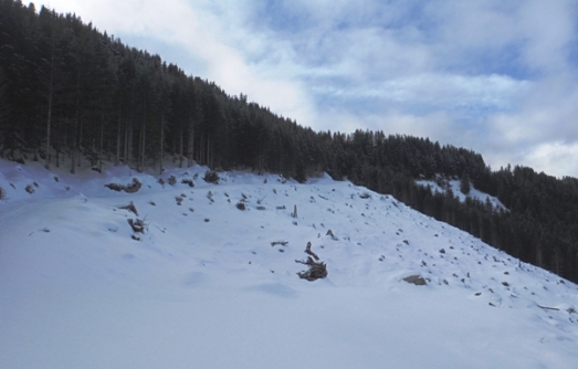
Near Airplane Lake looking up to the ridge where the old lookout was located.


