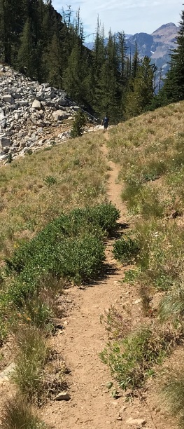
Purple Creek Trail to Juanita Lake
WillhiteWeb.com
Hiking Distance: 4 miles one-way
Elevation Gain: 5,800 feet
Boulder Butte Option: Additional 450 feet and 0.5 miles
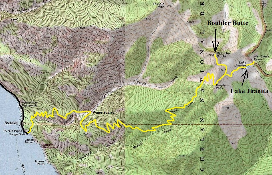
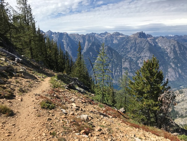
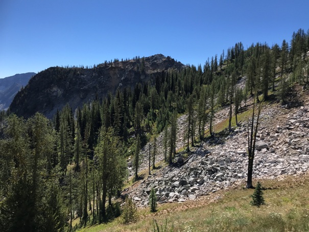
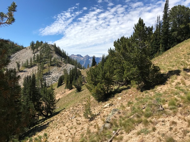
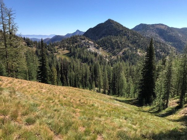
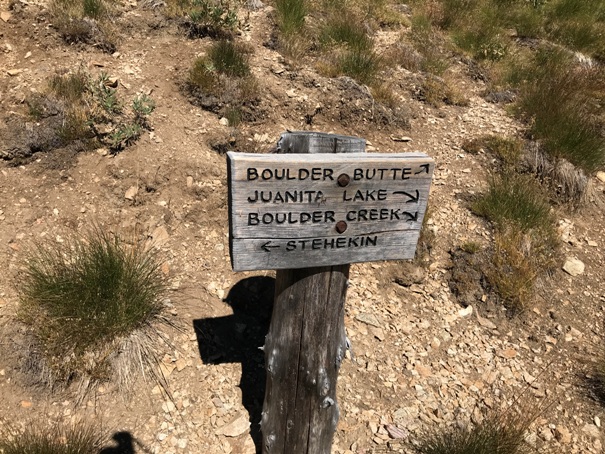
If you are looking for a hard hike right out of Stehekin, the Purple Creek Trail is a good choice. The trail starts climbing just behind the Golden West Visitors Center on the Imus Creek Trail. The junction for the Purple Creek Trail is on the right shortly after the first bridge crossing. The trail is pretty open due to the Flick Creek Fire of 2006, go early, bring water, there is only one main water source a few miles up, and then more water at the lake. Just before the lake is Purple Pass, a scenic spot. After a bit of distance further is a junction. Go right, down to the lake, or left up to the summit of Boulder Butte. Do one or both depending on your weather and energy.
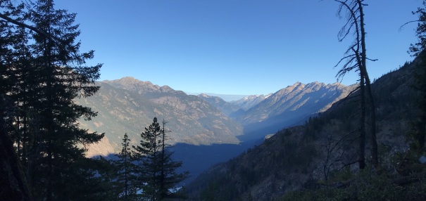
Stehekin Valley in the morning light
A surviving patch of trees
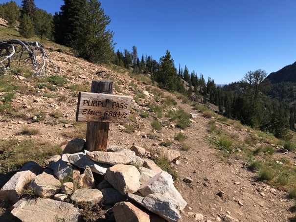
Purple Pass sign, Elevation 6,884 feet
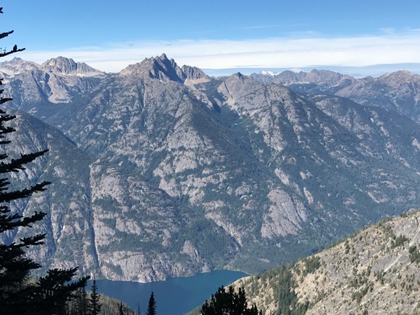
Tupshin Peak across from Lake Chelan
War Creek Pass and Splawn Mountain
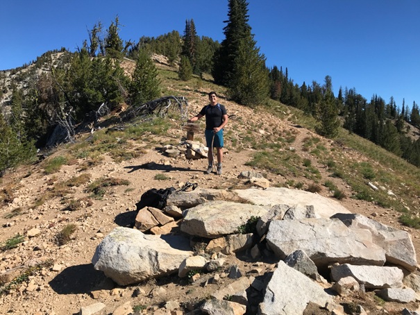
Jorge at Purple Pass
Near Purple Pass
Purple Pass looking West
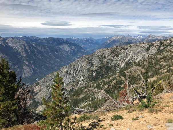
Purple Pass looking Northwest
East side of Purple Pass
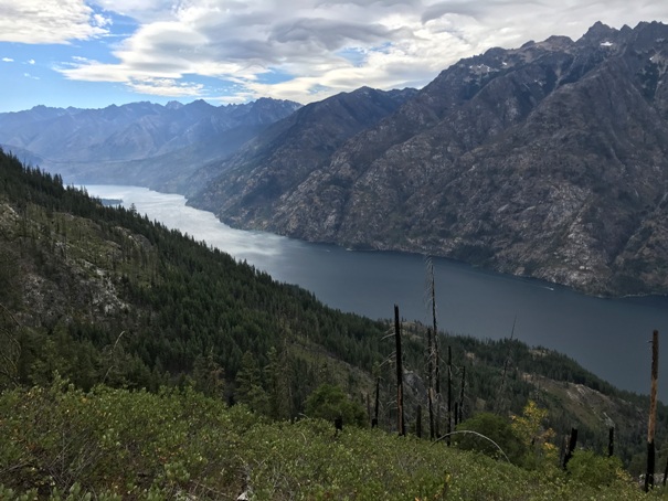
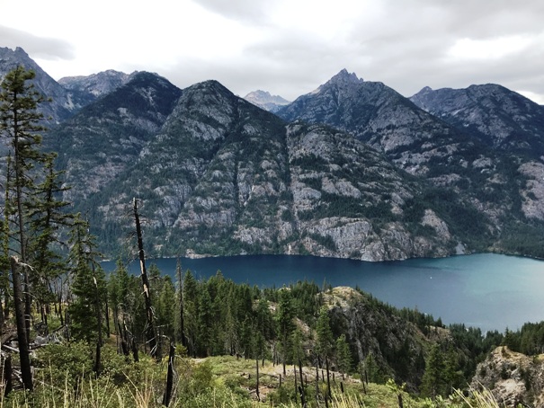
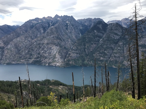
Lake Chelan views on the trail
Lake Chelan views on the trail
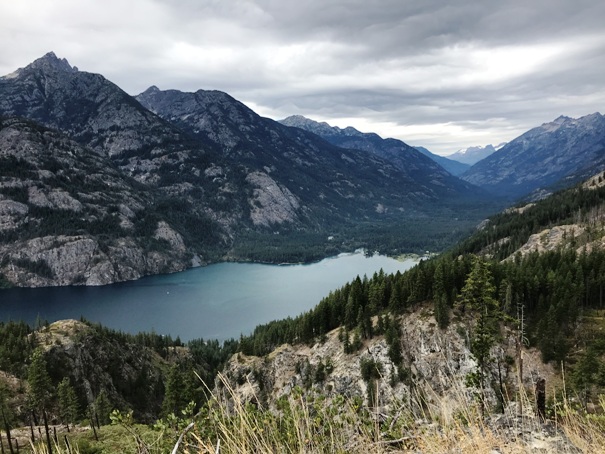
Headwaters of Lake Chelan
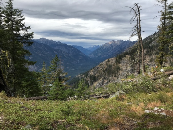
Stehekin Valley
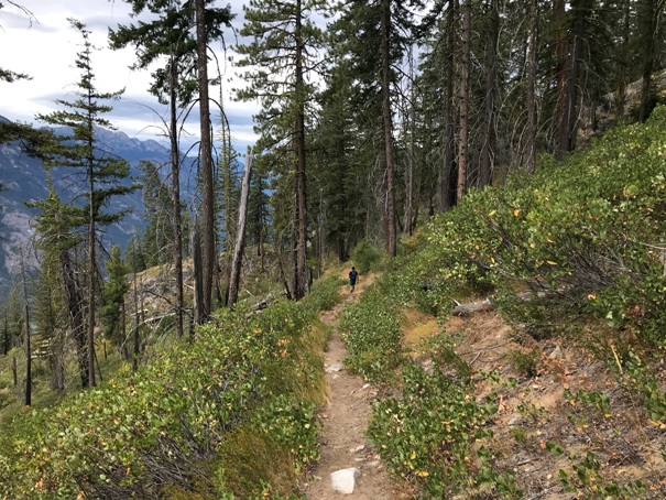
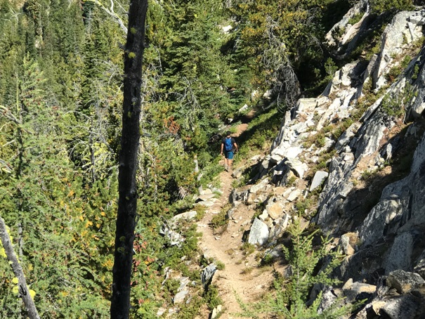
On the trail
