Driskill Mountain - Louisiana State Highpoint
WillhiteWeb.com
This highpoint in northwest Louisiana is far removed from any other state highpoints. After having reached the highpoints of all the neighboring states, Louisiana was left isolated for me, in an area I would never likely pass through. So, a quick flight to Shreveport, rent a car, drive to the trailhead, hike and drive back to the airport was in order. That's 10 hours of flying for 1 hour of hiking. If it makes it more worthy for such an excursion, I also included the second highest mountain in Louisiana, which is within walking distance from the trailhead of Driskill Mountain.
Elevation 535 feet
Hiking Distance: Under a mile
Elevation Gain: 150 feet
Access: Paved road
Access:
Route:
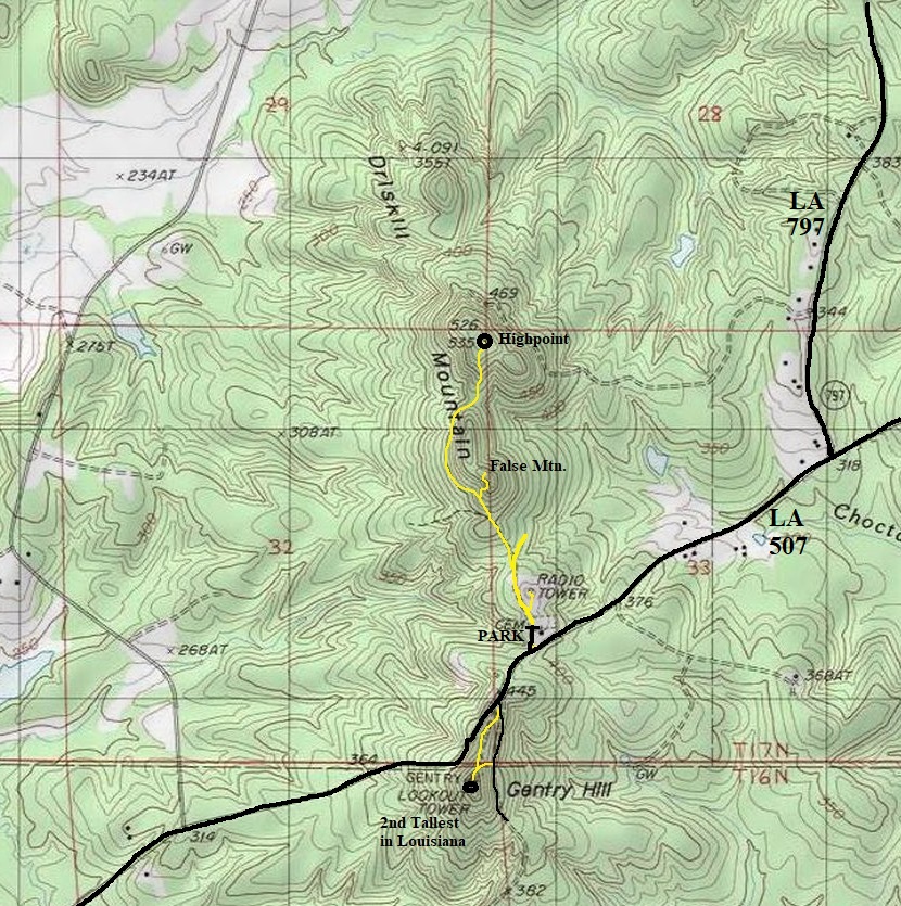
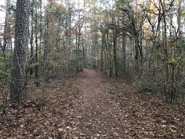
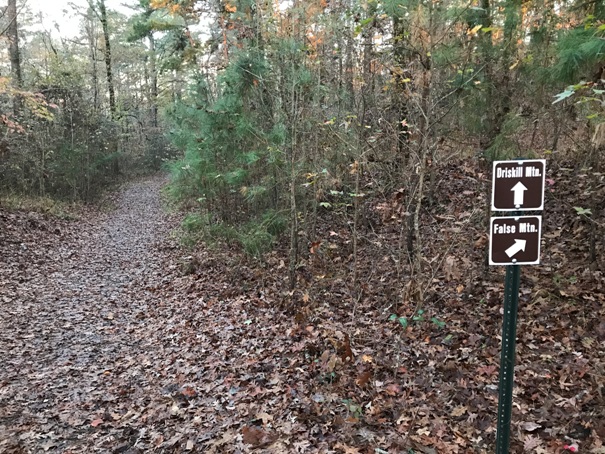
The route is well signed these days and easy to follow. From the parking area next to the cemetery and church, follow the road past a gate. After passing below a communication tower, a sign will direct you onto a smaller road that traverses around False Mountain. If you want, you can do a loop trip by taking a right on the False Mountain Trail. This trail will take you over the south peak of Driskill which has been dubbed False Mountain. This alternate route ends up at Driskill so you can do a loop. The standard trail just traverses around False Mountain, then hits the ridge and goes up to the summit.
From Arcadia, go south on State Route 147. At 7.3 miles, bear right onto State Route 797. Follow 797 for 3.8 miles to at T intersection. Go right onto State Route 507 for 0.8 miles to the Mount Zion Presbyterian Church and cemetery. Park at Highpoint signs.
History:
Driskill Mountain was named for James Christopher Driskill (1817-1901), who settled in the farm and timberland surrounding the mountain in the late 1930s, after moving from Macon, Georgia. Eventually, Mr. Driskill owned 960 acres in the area. In 1874 he donated two acres of land for what has become the Mount Zion Presbyterian Church and the Driskill Memorial Cemetery. Many of James Driskill's descendants still live near Driskill Mountain.
Gentry Hill (2nd Tallest in Louisiana)
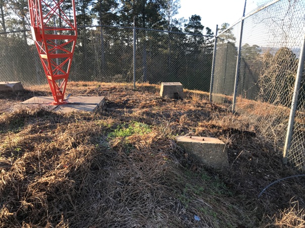
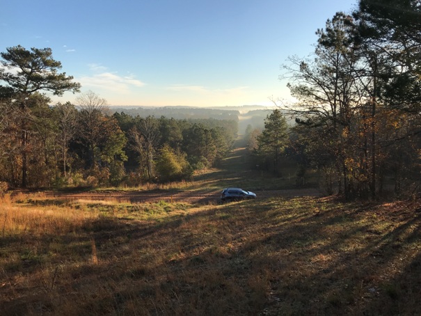
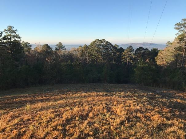
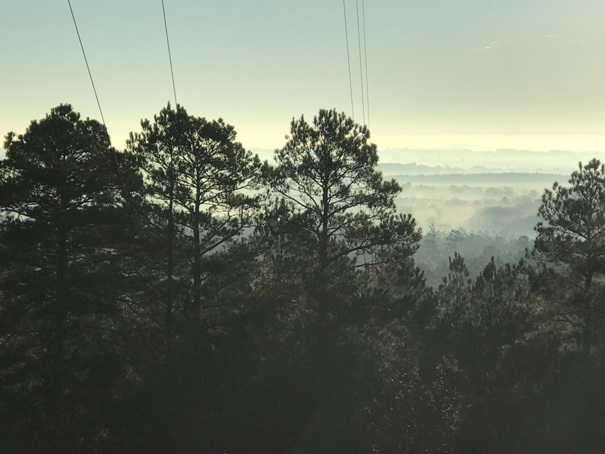
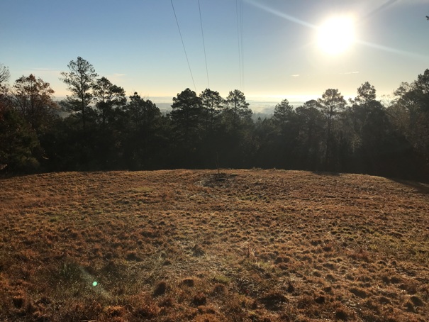
If you have time, just a short distance west from the church on State Route 507 is a quarter mile walk on a road that takes you to the second highest point in Louisiana. You can park right off the highway hiking a gated road or drive another dirt road to a pipeline swath just below the summit, waking up from that point. There was once a fire lookout on the top that offered sweeping views but now just the footings remain. A few peek-a-boo views remain.

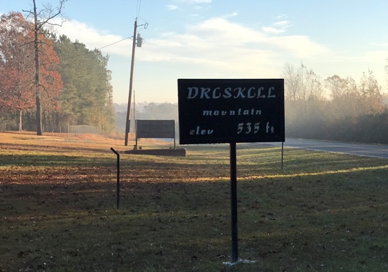

Sign along the highway
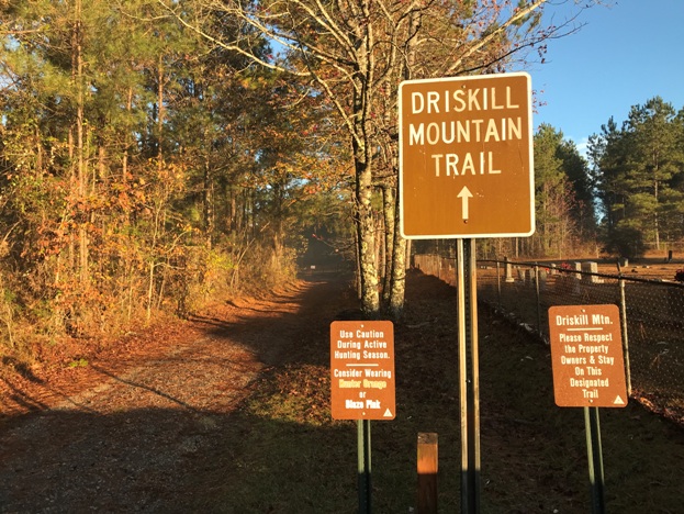
Signs in the parking area near the church and cemetery
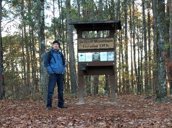
At the summit sign
The summit cairn
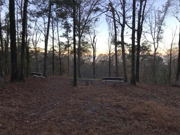
Jordan Mountain Overlook at the summit
Trail split for the False Mountain Trail
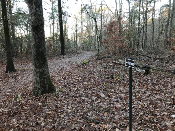
Short trail from the summit to the Jordan Mountain Overlook
Hiking up pipeline swath to Gentry Hill (parked here on dirt road)
Gentry Hill views
Gentry Hill views
Gentry Hill views
Old fire lookout footings
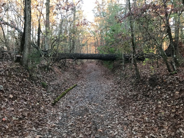
Big tree fallen over the trail
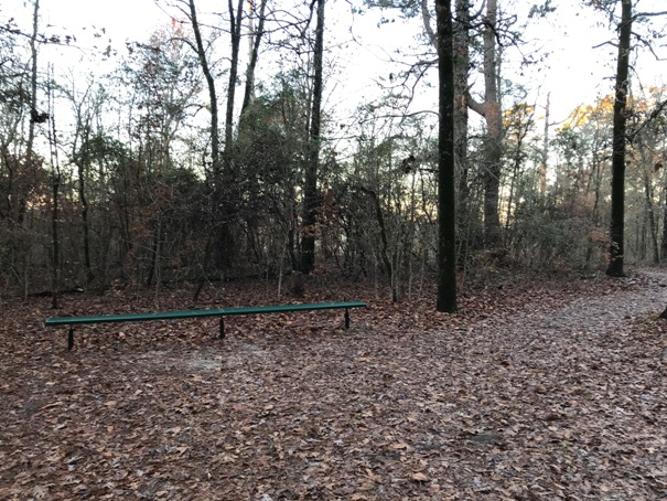
Bench at the summit
Getting near the top
Yellow is walking trail or road walking


