Mt. Finlayson Trail
WillhiteWeb.com
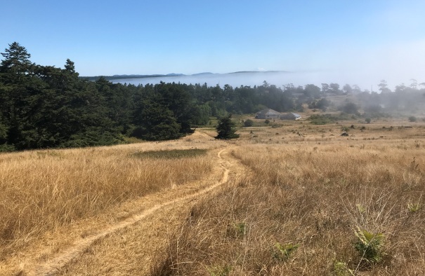
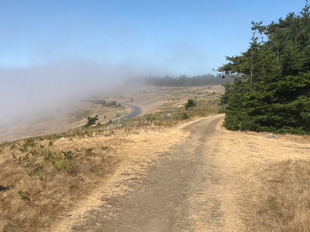
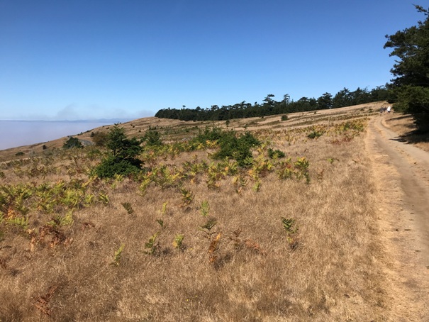
This is an easy hike with views most of the way. Midway along the route is Mt. Finlayson, a summit just under 300 feet in elevation. Hike up for the view (similar to the road view) or get dropped off and hike the 2 miles getting picked up at the other end. The benchmark location is where the best view is located and where signs point as the summit. But, the actual summit of Finlayson is just off the trail at about the mid-point.
Elevation: 295 feet
Hiking Distance: 3/4 mile with side trip to benchmark (East Trailhead)
Hiking Distance: 1 mile (Jakles Beach Lagoon Trailhead)
Elevation Gain: 200 feet
Prominence: 170 feet
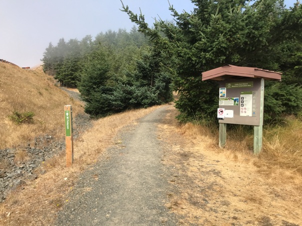
East Trailhead
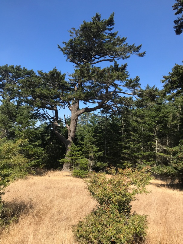
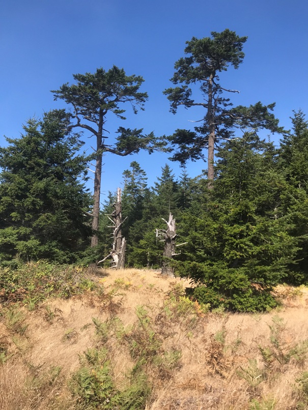
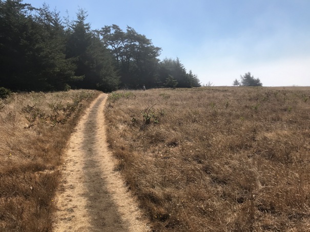
Big trees
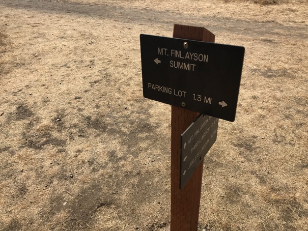
This sign points to the wrong summit
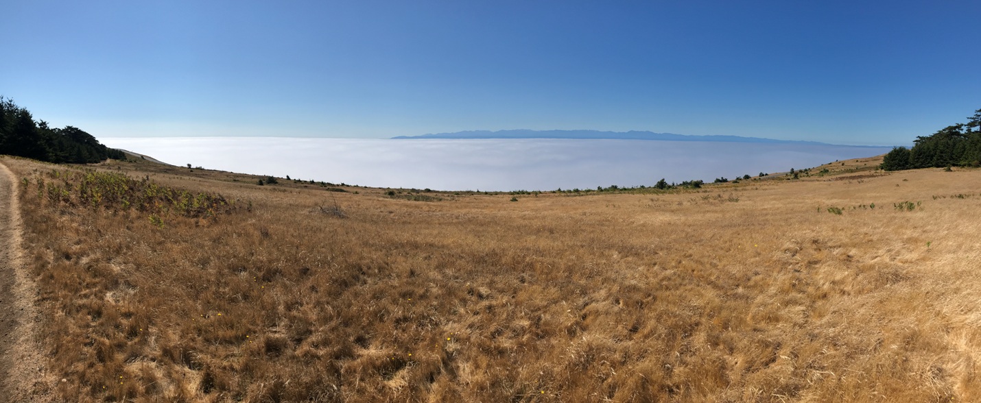
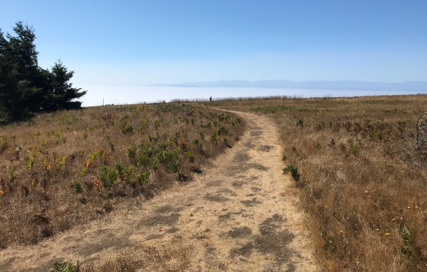
The Olympic Mountains across the Strait of Juan de Fuca with a marine layer of clouds just above the water.
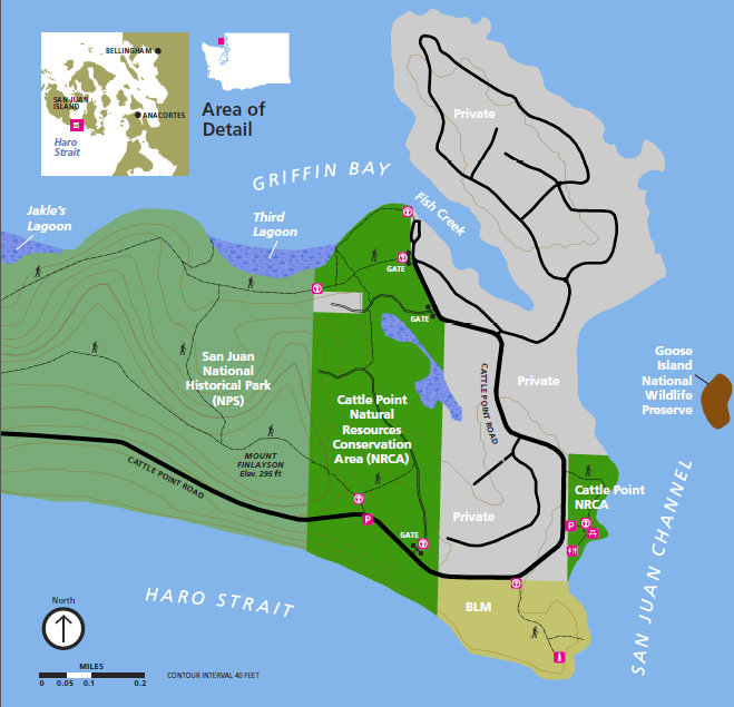
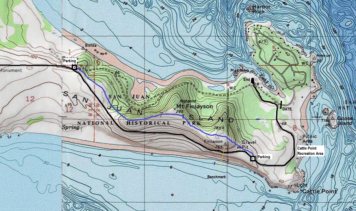
Road is black, the trail is blue.
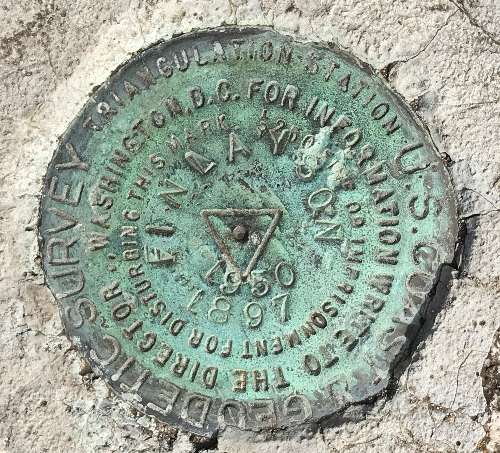
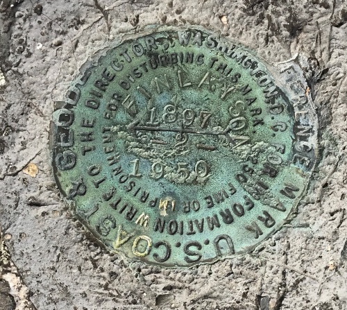
Finlayson Benchmark
Finlayson directional benchmark #2


