Maury Island Marine Park Camping
WillhiteWeb.com
Camp Elevation: 10 feet
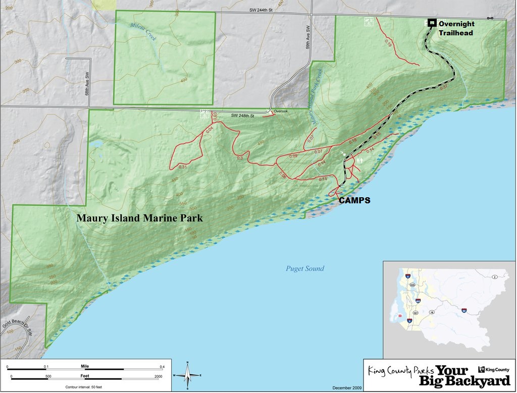
Hiking Distance: 0.6 miles using gravel maintenance road
Elevation Gain: 300 feet upon return
Access: Paved to trailhead
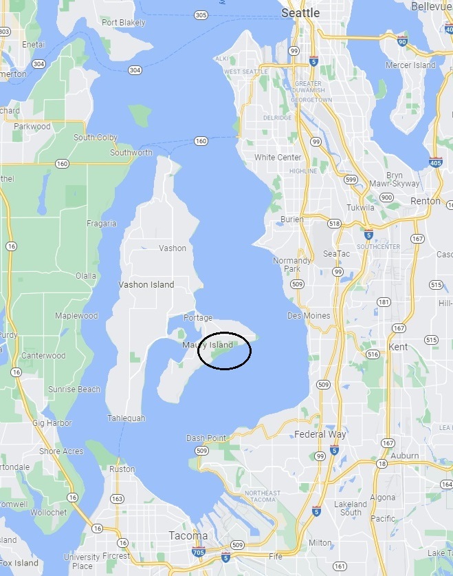
Maury Island Marine Park faces east with views of Des Moines, Redondo, Federal Way and Tacoma. The park is one of the largest undeveloped properties located directly on Puget Sound with more than 1 mile of shoreline. The park contains rare stands of Pacific Madrone, a salt marsh, eelgrass beds and significant fish and wildlife habitat. The park allows for hiking, equestrian, mountain biking, and hand-boat access. Even more unique is that this King County Park has some backcountry camping. Reservations can be made online with a partner company. The camps are rustic with just a picnic table, no water and use of port potties. During winter months, the camps are not available.
Access:
The park can be reached from Seattle by the Fauntleroy-Vashon ferry and from Tacoma by the Point Defiance-Tahlequah ferry. Once on Maury Island, head south on Dockton Road SW, east on SW 240th Street, south on 59th Avenue SW, and east on SW 244th Street. There is a parking lot and trail access on SW 244th Street.
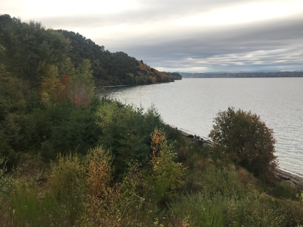
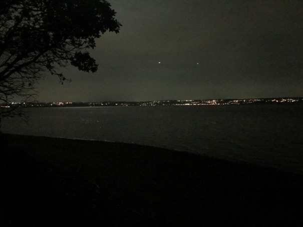
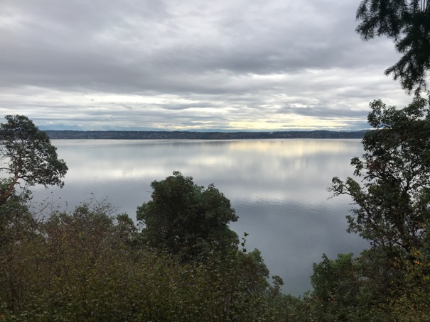
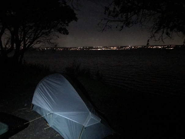
Looking across the East Passage to the lights of Redondo in Federal Way
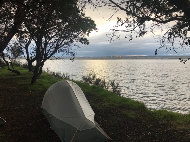
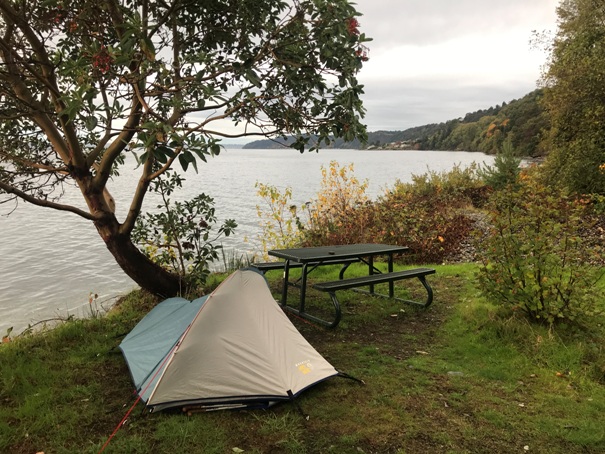
Camp and the lights of Redondo in Federal Way
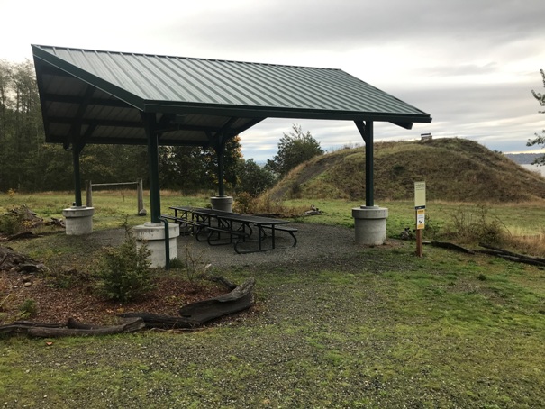
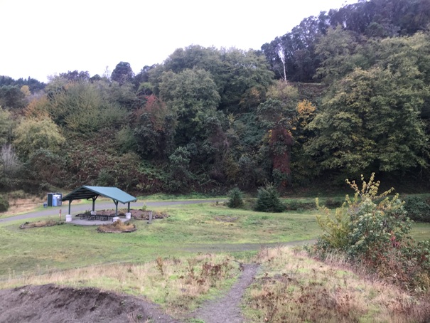
Shelter area from the sand hill
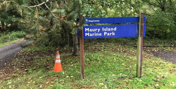
Sign off SW 244th Street
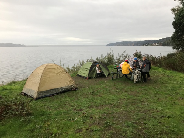
Group campsite 7
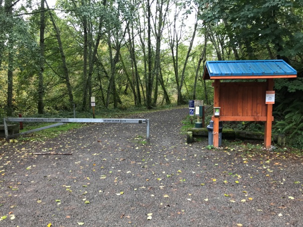
Entrance gate to the service road down to the beach
Campsite 1
Campsite 2
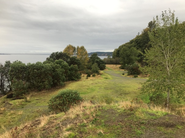
Looking northeast from the sand hill
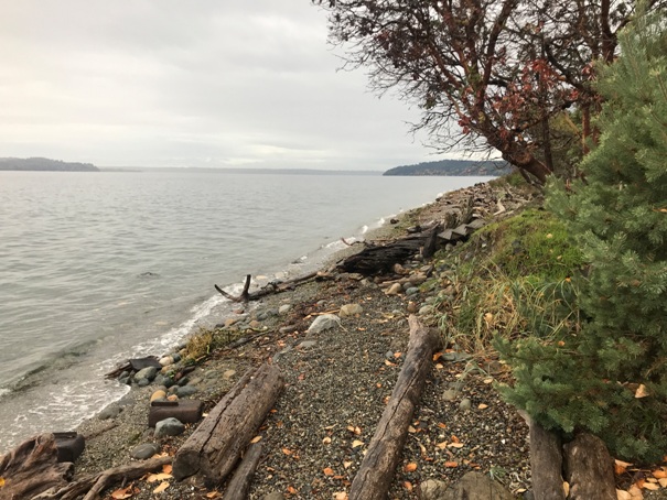
Looking northeast from the beach
Covered picnic area
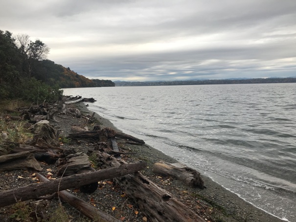
Looking SW down the beach
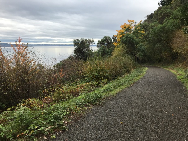
Service road down to the beach
View from the service road
Looking toward the camps from the sand hill


