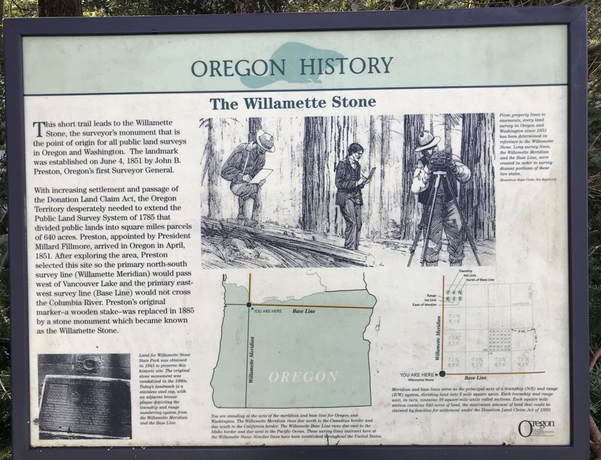
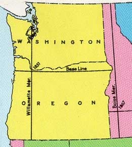
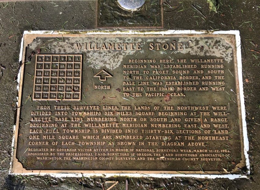
The Willamette Stone is a surveyors monument that is the point of origin for all public land surveys in Oregon and Washington. Except for portions of the eastern United States and Texas, the United States is divided into a grid of six-mile squares called Townships and Ranges. The Willamette Meridian is one of 37 Principal Meridians in the United States, each of which is named, that define the rectangular survey system.
The landmark was established on June 4, 1851 by John B. Preston, Oregon�s first Surveyor General. After exploring the area, this site was selected so the primary north-south survey line (Willamette Meridian) would pass west of Vancouver Lake and the primary east-west survey line (Base Line) would not cross the Columbia River. Prestons original marker was a wooden stake. It was replaced in 1885 by a stone monument which became known as the Willamette Stone.
WillhiteWeb.com
The Willamette Stone
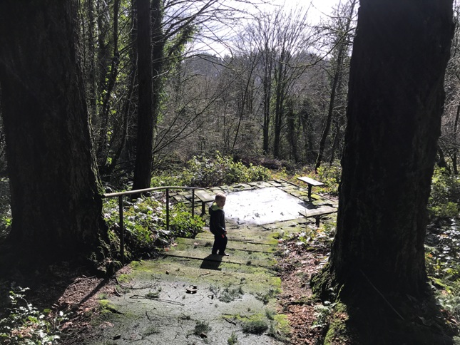
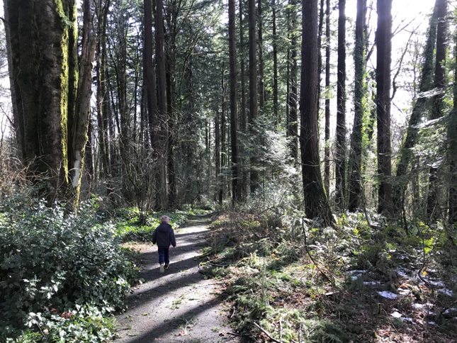
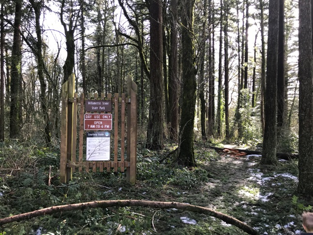
This small forested park has parking, a few interpretive signs and a short trail that drops down to the Willamette Stone. The monument for most people is irrelevant in their lives but for a map geek like me, I have spent hundreds of hours using the Section, Township and Range grid.
Willamette Stone State Park
253 NW Skyline Blvd, Portland, OR 97210
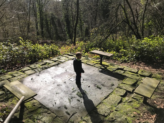
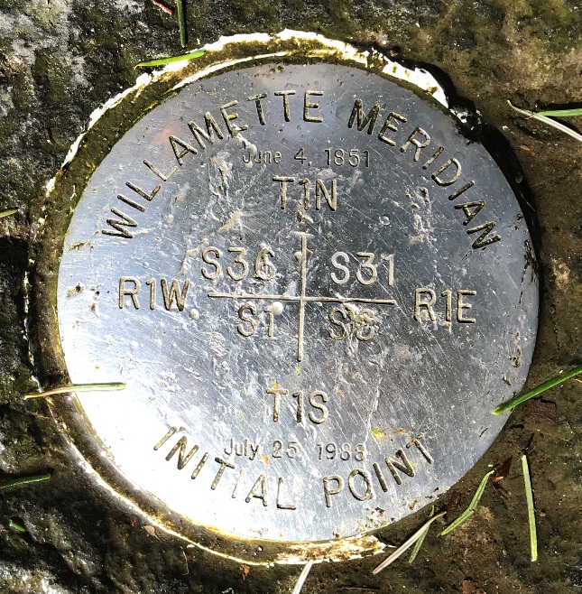
Current marker
Arriving at the site
Walking down to the site
Trailhead
Willamette Meridian


