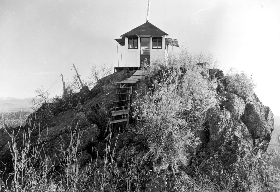

Lookout Elevation 5,527 feet
County: Klamath
Bear Butte Lookout
WillhiteWeb.com
In 1932, there was a cabin below the summit and a firefinder atop the butte.
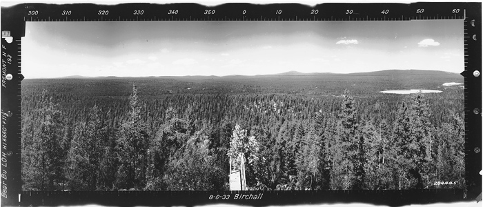
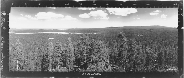
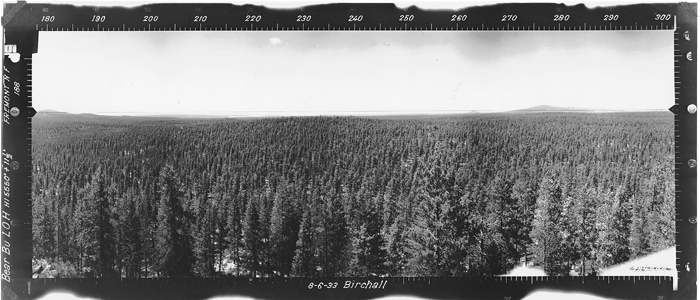
In 1933, panorama photos were taken at 11.5 feet above the ground. The term lookout house was used.
In 1935, a USGS party mentions the Bear Butte Lookout House on the summit of Bear Butte, accessed by a road.
In 1937, the lookout spotted a fire one evening and extinguished it.
In 1947, the lookout spotted a fire in virgin timber in the Little Yamsay unit.
In 1949, a 9 x 9 foot wooden cab was built at a cost of $177.83.
In 1953, a USGS party described the lookout house on the summit of a low, conical shaped butte about 1-mile east fo the Bear Flats Guard Station. A small 9 x 9 foot house built on a group of large boulders. They also said it is a 5-minute pack from the end of truck travel.
In 1956, the station was given the air marking number of F-3.
In 1962, electricity was installed for a radio, lights, and heating.
Lookout History
I have been close to this site but did not go up to the cabin. Other names for this site have been Baldy and/or Bear Flat.
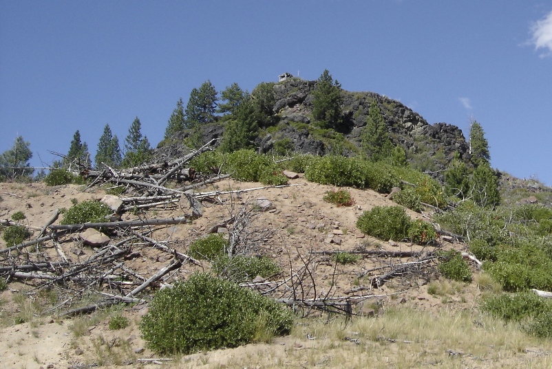
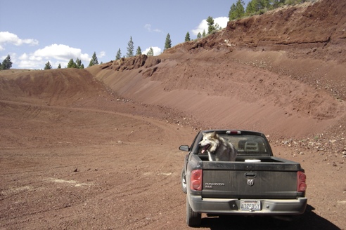
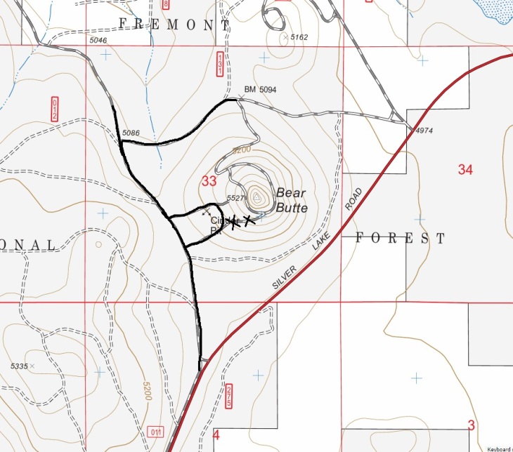
Cinder Pit below the summit
In 1964, the first lightning fire in the KFPA district broke out in a tree about six miles southeast of the lookout. The lightning strike set a tree on fire despite the effect of a large quantity of rain that accompanied the storm. A thin sliver of smoke from the tree was noted by the lookout on the day of the fire and a firefighting team was dispatched to extinguish the blaze. Firefighters said they walked past the tree five or six times before it emitted a puff of smoke, betraying the fire.
In 1966, the cabin was abandoned. State radios were placed on Yamsay Mountain and Bald Mountain lookouts. They said this cooperation provided good coverage of the Bear Flat area.
Southwest in 1933
North in 1933
Southeast in 1933


