
WillhiteWeb.com

The North Ridge is the easiest and most direct route to the summit. The climbing is not technically difficult, but it is exposed rock climbing on poor quality rock. I would consider the rock section at the summit the hardest obstacle for any of the standard routes of the Cascade Volcanoes.
Elevation: 7,794 feet
Hiking Distance: 6 miles one-way
Elevation Gain: 3,200ish feet
Difficulty: Class: 5.3
Prominence: 2,554 feet
Mount Washington, Oregon (North Ridge Route)

Access:
Take the PCT near Big Lake. Drive US 20 to Santiam Pass and the road to Hoodoo Ski Bowl. Then continue to FR 2690 to Big Lake, just before the lake, a left turn onto FR 500 (Santiam Wagon Road) where signs will lead you to the PCT trailhead.
Route:
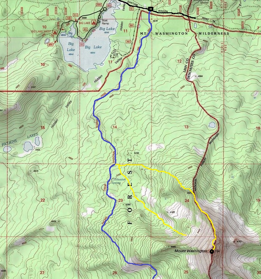
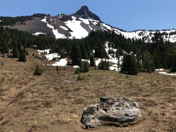
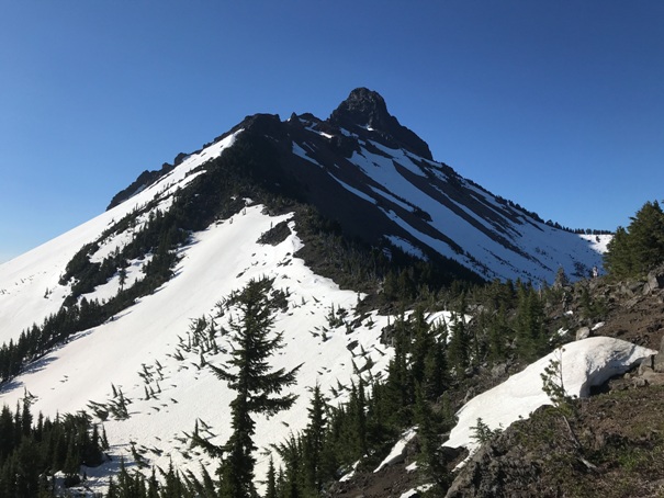
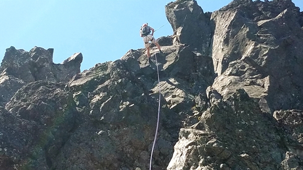
Hike the PCT 3.5 miles to a junction where a climbers trail cuts left (east). This trail after a short distance splits. Take the left trail to remain on the North Ridge access trail. The right trail is the decent route. The climbers path or paths, will climb up to the tree line and the defined north ridge. The trails work around the upper rock pinnacles. The final pinnacle before the prominent saddle where people rope up requires dropping a bit to a loose gully. Once at the saddle, most parties rope up as the next 75 feet of climbing to the top of The Nose is the most difficult of the rock climbing. The route scrambles right 15 feet entering into an easy 30-foot left angling chimney, followed by 30 feet of class 5 face climbing. This gets to the top of The Nose and a good belay/repel station. Next comes a series of class 4, low class 5 steps. Although people comfortable on rock will have no problem here, I was definitely roped up. The third and final pitch was more of the same, easy sections and some rocky steps that were just reaching class 5. Three rappels using the full 60-meter rope got us down to each belay station perfectly. A good decent route is to drop down the scree fields to the meadows below where a trail can be found leading back to the PCT.
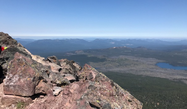
Coming down
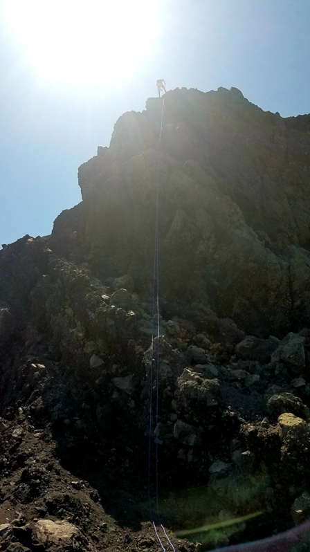
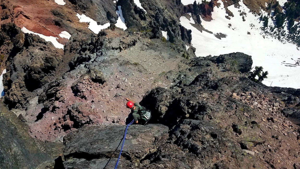
Rappelling down to the saddle
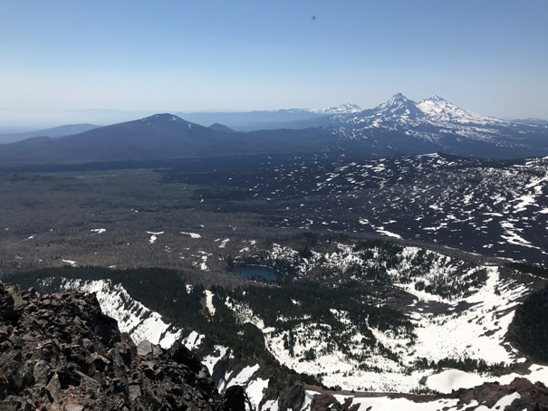
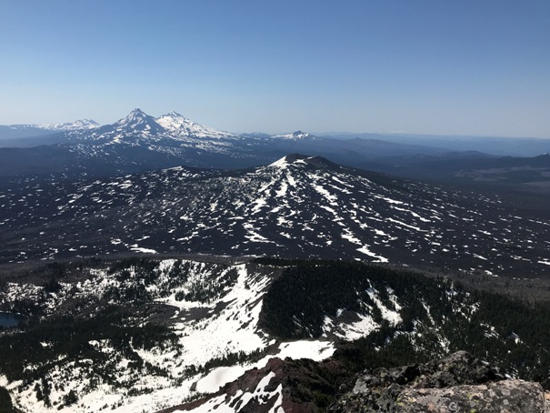
Belknap and the Three Sisters area
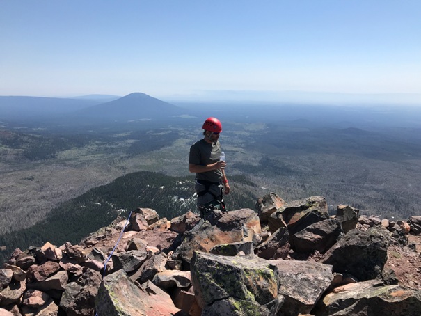
On top with Black Butte in the distance
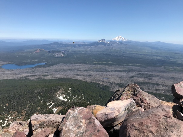
Looking north to Three Finger Jack and Mt. Jefferson
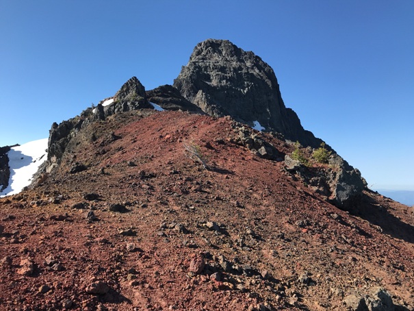
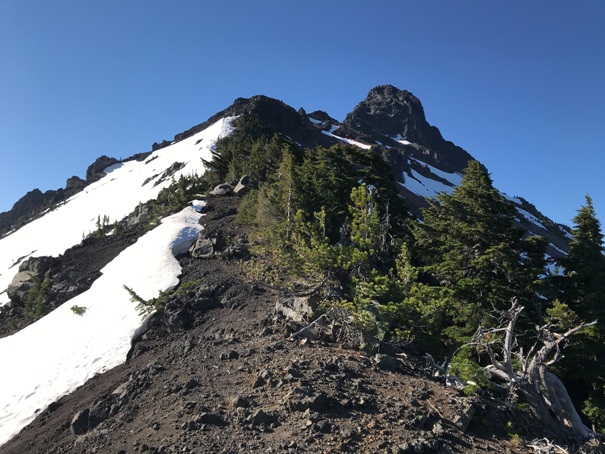
North Ridge of Mount Washington
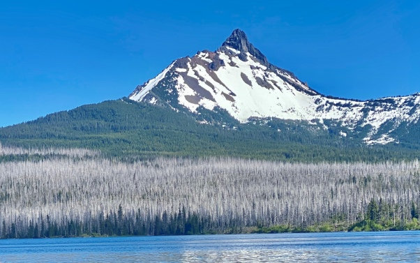
Mount Washington from Big Lake, Fathers Day 2020
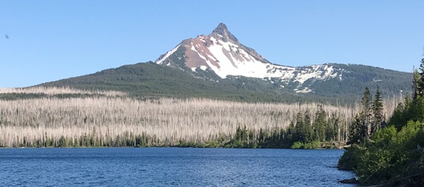
Mount Washington from Big Lake, Fathers Day 2021
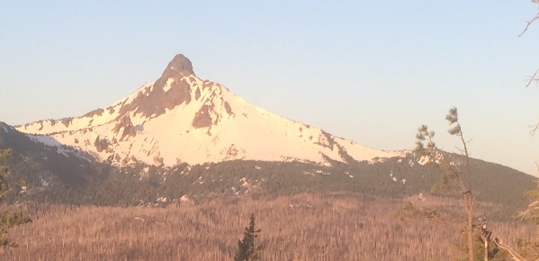
Mount Washington from Cache Mountain
Northwest basin of Mt. Washington
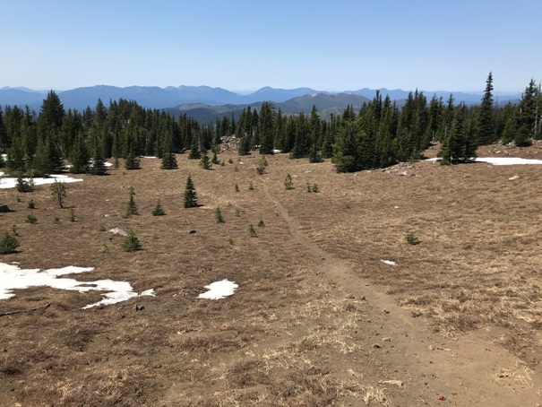
Hiking out the Northwest basin of Mt. Washington
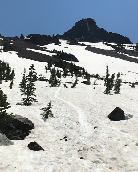
Coming down the scree and snow after the climb
First views upon reaching the upper north ridge of Mount Washington
Traversing the upper ridge
Views to the west from the summit
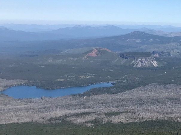
Big Lake from Mt. Washington
Looking SE
Rapelling down
Blue is the Pacific Crest Trail. Yellow is climbers trails.


