Mount Washington (Olympics)
WillhiteWeb.com
Summit Elevation: 6,255 feet
Hiking Distance: 1.5 miles or less
Elevation Gain: 3,200 feet
Access: Any vehicle
Easy to recognize from Seattle, Mount Washington is on the Olympic skyline at the south end of the range. The super popular Mount Elinor is attached on the left side and looks like part of the mountain. Mount Washington can be crowded on nice weekends these days.
Access:
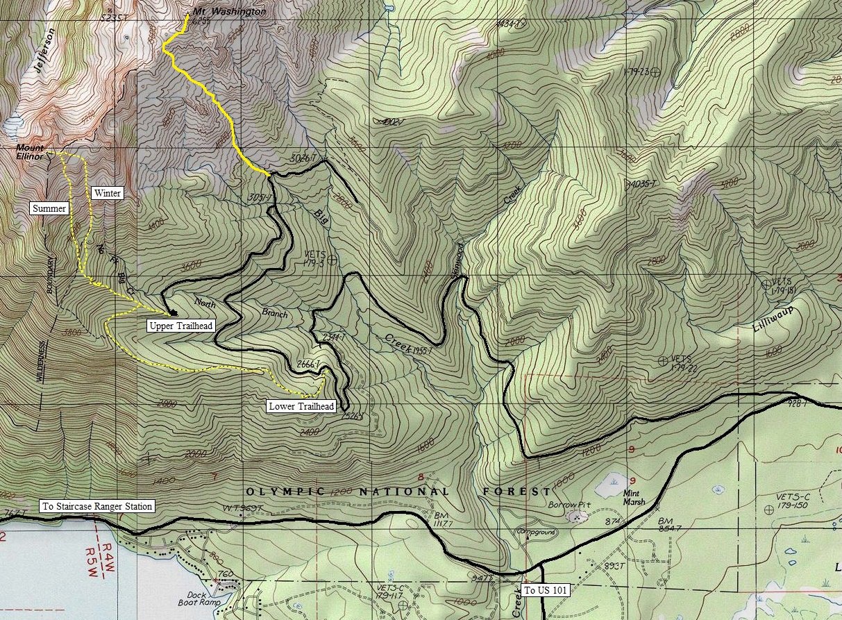
From Hoodsport on Hood Canal on US 101 take the well signed Lake Cushman Road. Follow it around 8 miles until a stop sign at a 3 way intersection. Turn right and the road becomes gravel (FS Road 24). At the next major left is FS Road 2419. Follow 2419 up the Big Creek Drainage to the start of the routes. In the winter, this road may be blocked a few miles from the trailhead.
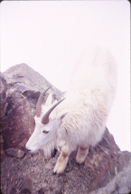
Goat on the summit
Route:
The route ranges from Class 2 to Class 3 and is an easy scramble for those with experience. Unfortunately, the easy access encourages many inexperienced hikers that get themselves in trouble here. Deviations from this standard route will likely lead to Class 4 and 5. The climbers trail starts next to a large boulder off the road, then climbing up through the forest. A detailed route description can be found on the Summitpost page. Go there, print it, and use it. Or, just go and figure it out like we did in total whiteout conditions.
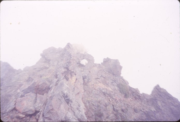
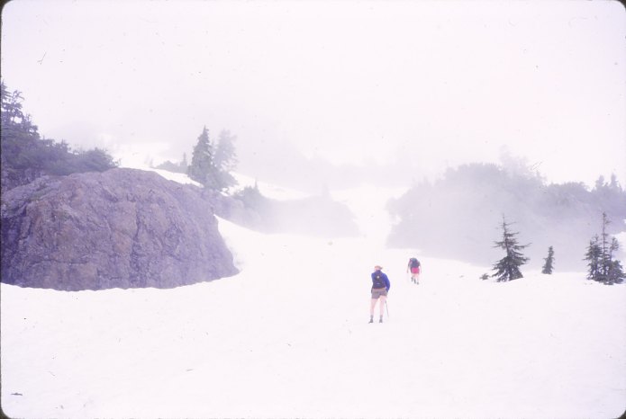
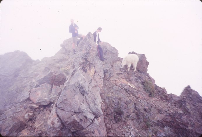
June climb
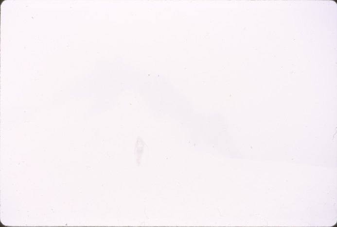
A friend behind me and some rocks in a white-out
Our group on the summit
Goats on the summit
Our trip:
As the pictures show, we had whiteout conditions. Nowdays, I would just go elsewhere but this was 1998 when I was younger and did not care about weather.
Showing both Mt. Elinor and Mt. Washington routes


