WillhiteWeb.com
At the very NW corner of the Olympic Mountains, where Highway 101 turns south toward Forks, is a public land island of sorts. The Calawah River cuts a deep channel creating a large isolated mass, known as Calawah Ridge. It is pretty easy to spot on relief maps, see image on right.
In the words of Eric Noel, this peak is a Loser. The only redeeming quality is that the summit is old growth. How a patch of old growth survived just 5 miles from Forks would be an interesting story. Maybe the Great Forks Fire of 1951 burned all the area surrounding it, making it not worth the effort. Or maybe the Windstorm of 1921 downed too many trees in the area. Whatever the reason, the flatish summit area is very nice and park like. Maybe someday the Forest Service will allow an Adirondack shelter to be built on top making for a great destination. A trail could literally start from Forks.
Access:
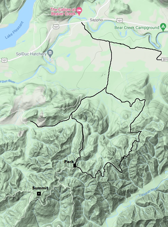
See map on right and description below. High clearance vehicle needed.
Route:
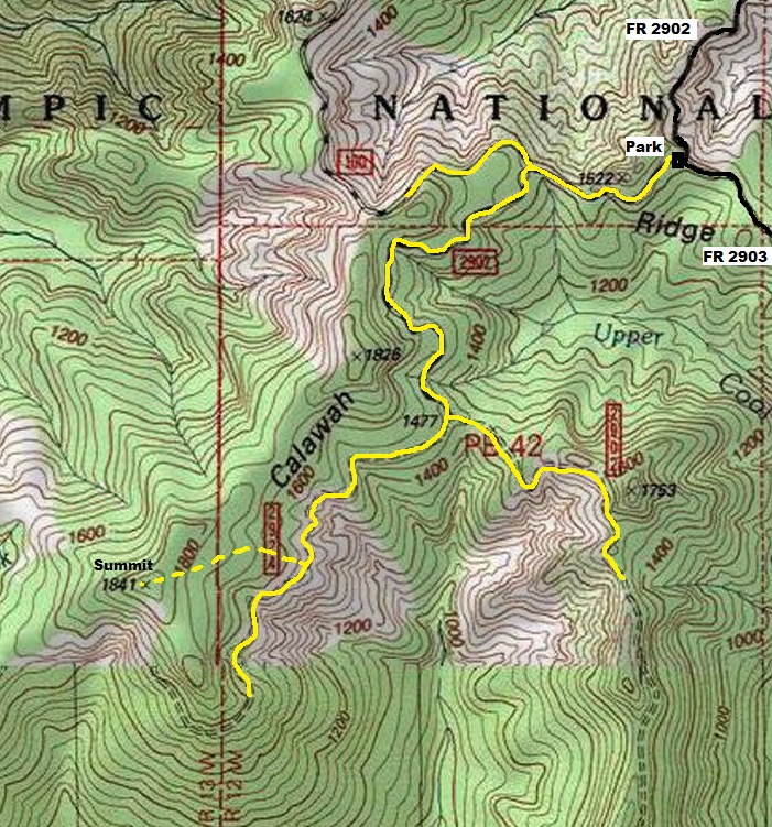
To reach the location, most of the route follows old, decommissioned roads. In the Calawah River Watershed Restoration Plan made by the National Forest, these roads were considered too risky to keep open. The Watershed Plan was all about Salmon and the chances where high that these roads on unstable terrain and stream crossings could cause a land slide into the river below. Many of the closed roads were set to become trails. It appears an attempt has been made to do this as some trees and logs have been cleared with a chainsaw on the closed roads. As for brush, the trails barely survive with the help from hunters with machetes and the elk herds that use the trail. Use the maps below for a general idea of the area. The final portion off the roadways near the summit can be done almost brush free if you follow the dashed line I marked.
Calawah Ridge Highpoint
Summit Elevation: 1,841 feet
Hiking Distance: 2 miles
Elevation Gain: 500 feet
Prominence: 1,081 feet
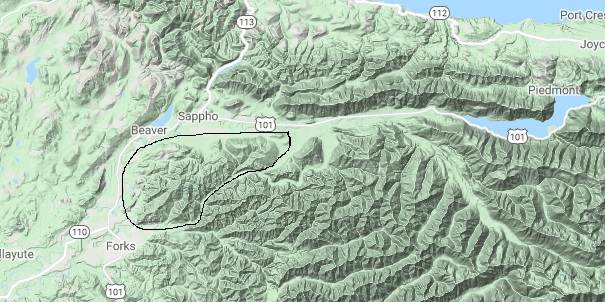
Showing the Calawah Ridge uplift, also the North Calawah River Watershed (circled in black)
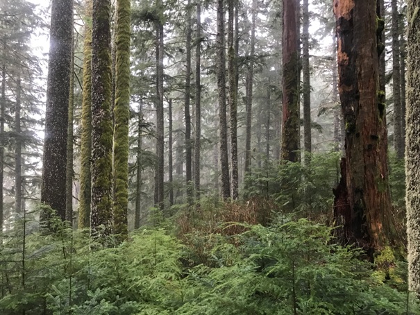
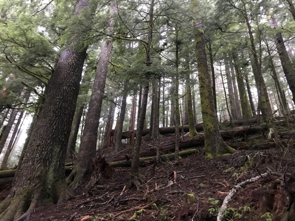
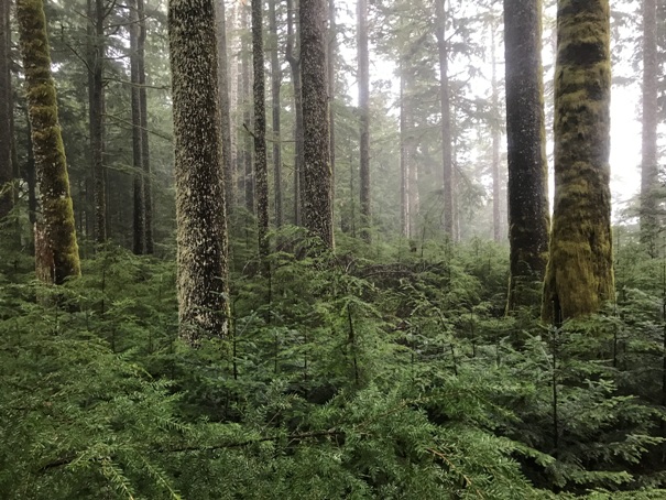
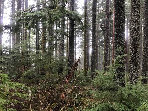
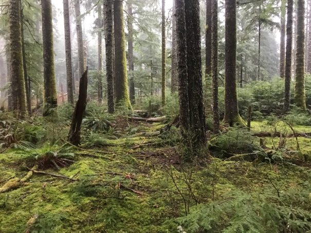
Areas of flat open forest near the summit
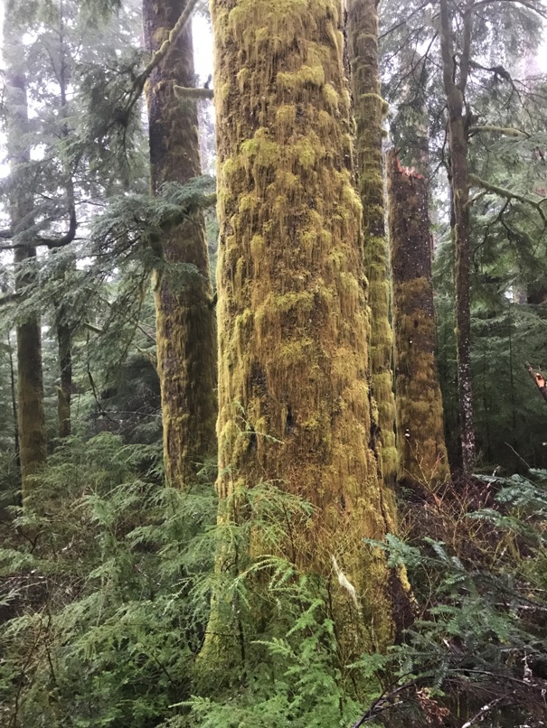
Moss grows on all sides of the tree in the Olympics
Just West of Sappho, take Mary Clark Road off Highway 101. In a mile or so, the gravel NF-2902 is unsigned and leaves the pavement to the right. Look for an old kisok that says Prevent Wildfires.
Entering the old-growth as the ridge nears
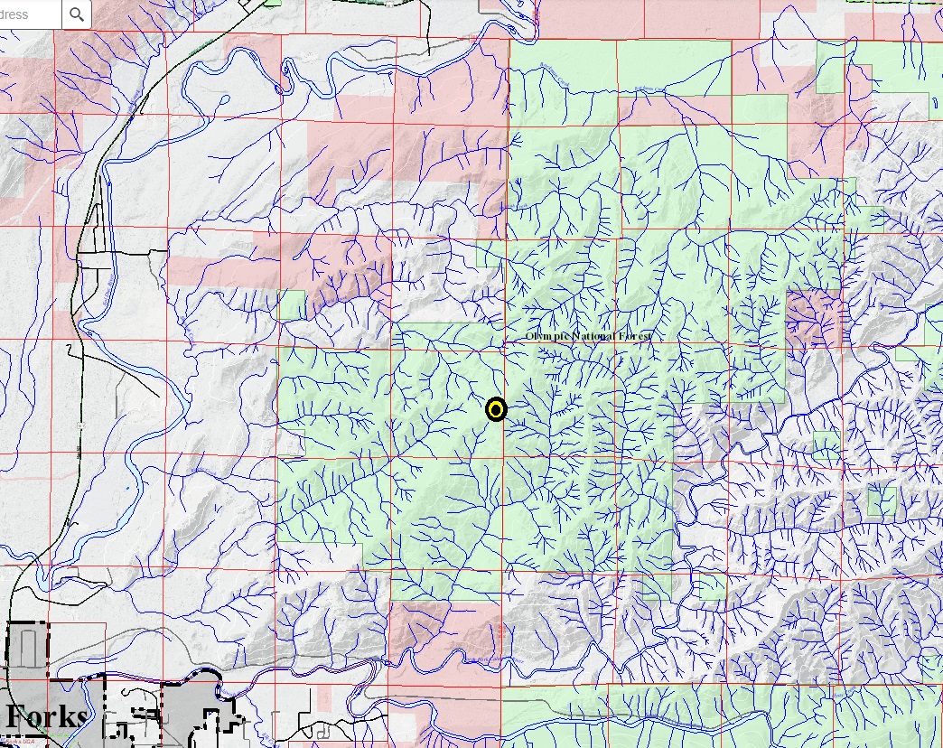
Showing the location in the heart of the National Forest Land (in green) in the Calawah Ridge block.


