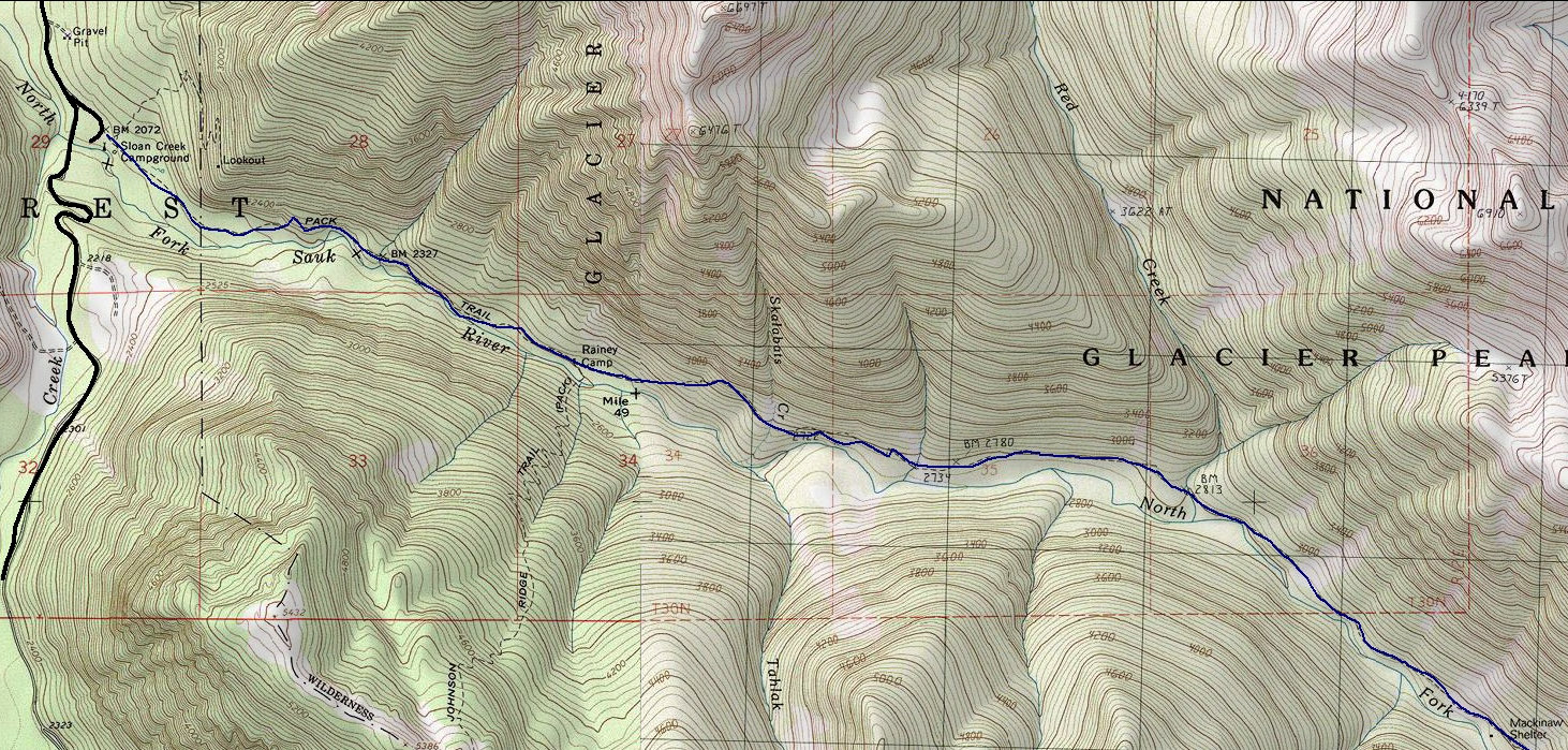
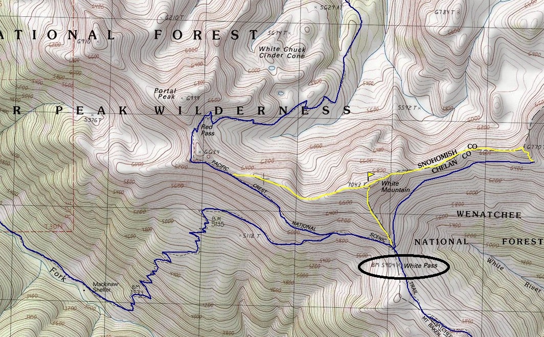
White Pass is one of the most scenic backpacking destinations in Washington. It can also be done as a long day hike but really, once you arrive, you will not want to leave, there is too much to explore. The Pacific Crest Trail passes right across the pass, but several way trails and knobs beg to be explored. The trail is about 9 miles to reach the pass. The trail starts in old-growth forest and enters Glacier Peak Wilderness after a half mile. There are at least 2 camp sites in route to the pass, Red Creek at 3.5 miles and Mackinaw Shelter at 5 miles. After Mackinaw, the trail really starts climbing gaining 3,000 feet to the pass. At the 8.4 mile mark, you hit the PCT and then follow the PCT over to the pass in under a mile.
White Pass - North Fork Sauk River Trail
WillhiteWeb.com
Distance: 9 miles one-way
Pass Elevation: 5,900 feet
Elevation Gain: 4,000 feet
Access: Good Gravel. NW Forest Pass needed since there is a bathroom.
From Darrington, drive south approximately 17 miles along the Mountain Loop Highway. Turn left onto Forest Road 49 (Sloan Creek/North Fork Sauk River Road). Drive 6.7 miles along Forest Road 49 to a Y intersection. Turn left and follow for 0.7 miles to the trailhead for North Fork Sauk Trail #149.
Access:
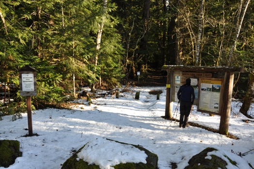
Trailhead with some snow
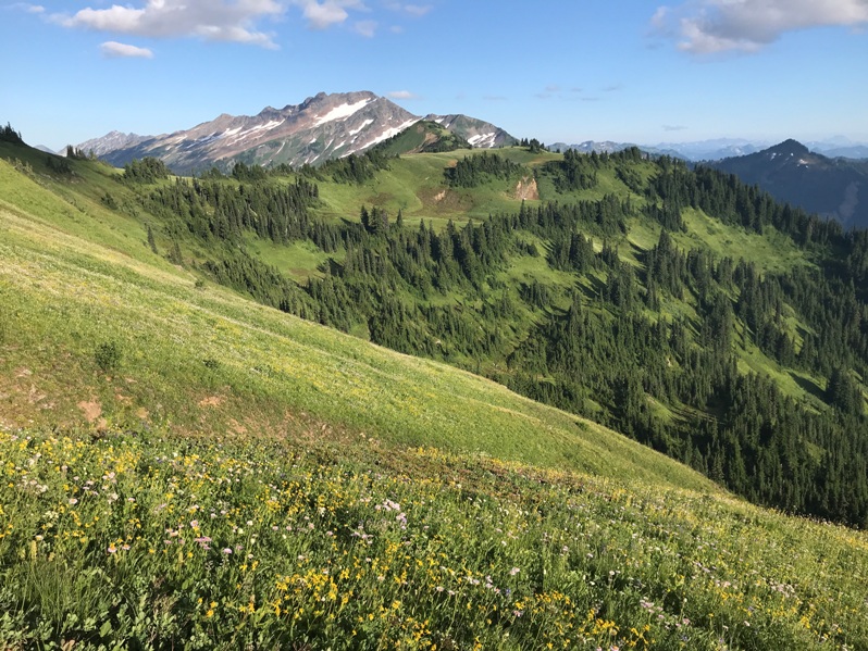
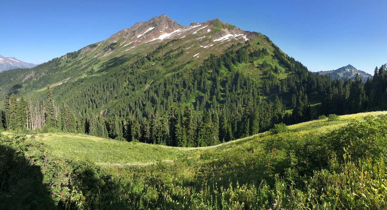
White Pass ahead, approaching from the North Fork Sauk
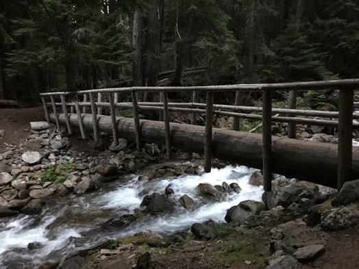
Bridge over one of the creeks
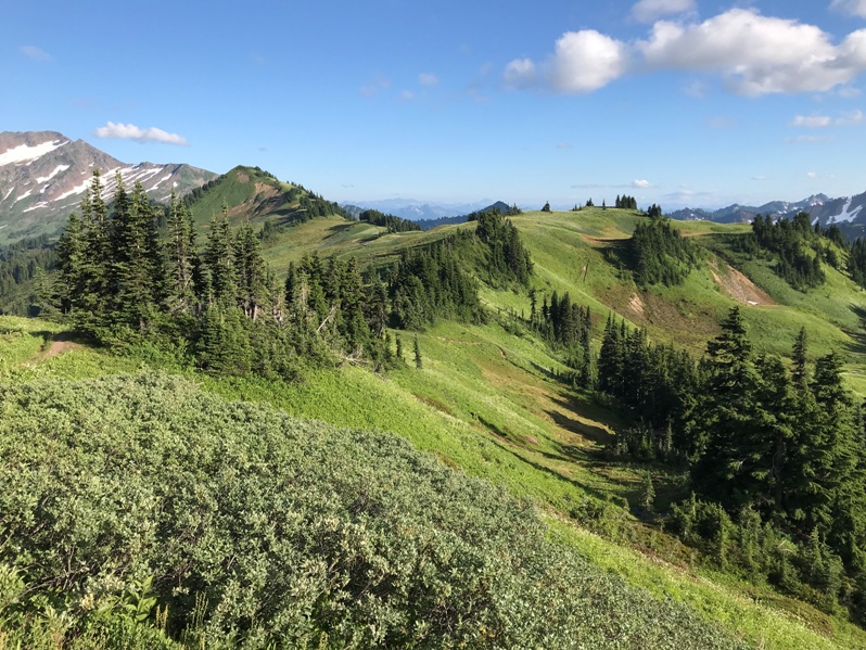
At White Pass looking at the PCT south
White Pass
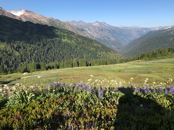
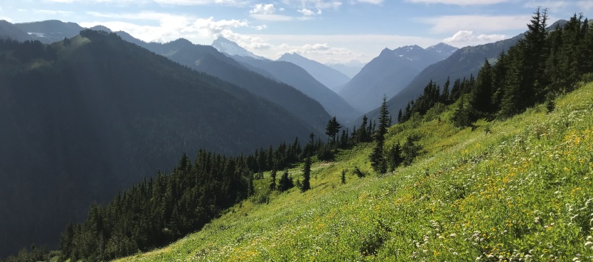
Looking down the White River Valley
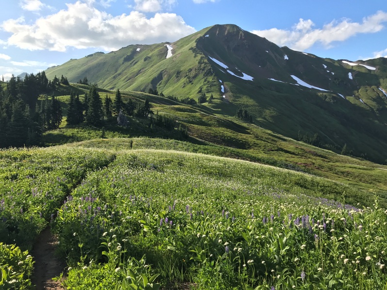
Approaching White Pass from the South on the PCT with White Mountain above
Tenpeak Mountain
Indian Head Peak from walking the PCT south about a mile
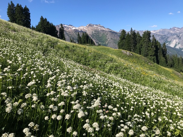
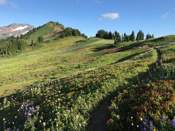
Flowers on the PCT
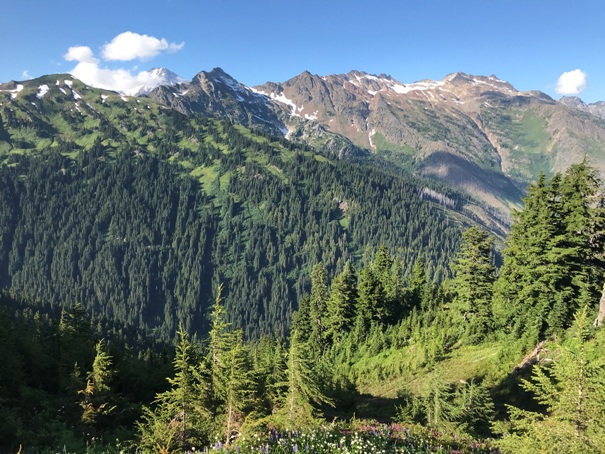
North Fork Sauk Valley


