Thornton Lakes & Trapper Peak
WillhiteWeb.com
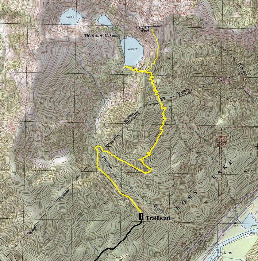
Highest Elevation: 5,966 feet
Hiking Distance: 5 miles
Elevation Gain: 2,900 feet
Access: Fair gravel road, cars can make it
A nice destination just inside North Cascades National Park with a choice of lakes or peak, maybe both. These pictures are from my visit probably around 1992.
Access:
Drive Highway 20 for 11 miles past Marblemount. Turn left onto Thornton Lakes Road between mileposts 117 and 118. Proceed down this bumpy gravel road for about five miles to the trailhead at the end of the road.
Route:
Just follow the trail, an old road at first, it crosses a few creeks before the real trail begins steeply climbing at two miles. At around mile 4 you enter the park and soon you reach a junction. One route goes a half mile down to Thornton Lake while the other climbs the ridge to panoramic views from Trapper Peak.
Camping at treeline on the ridge to Trappers Peak
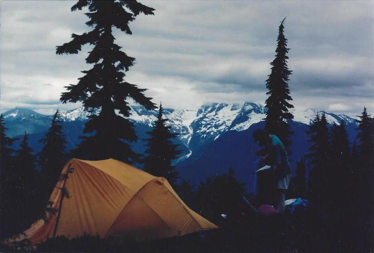
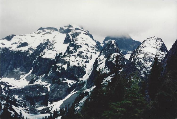
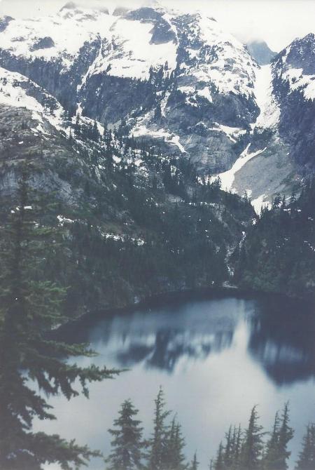
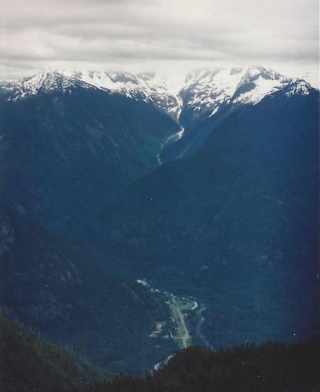
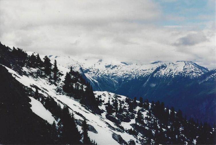
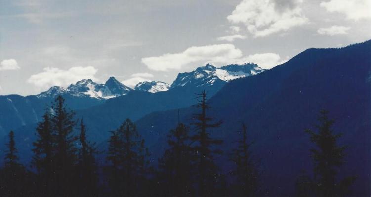
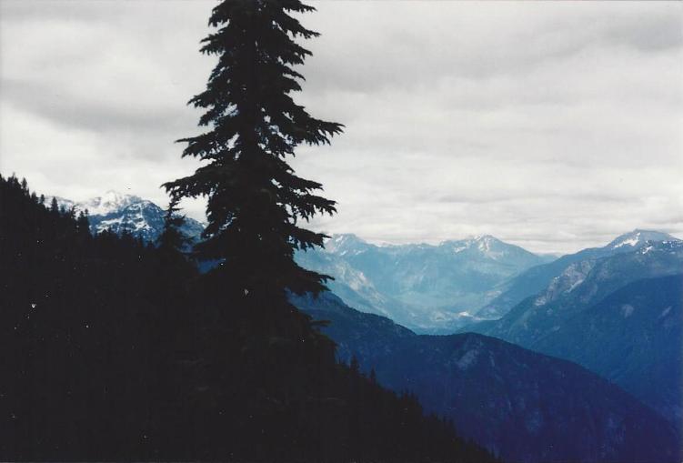
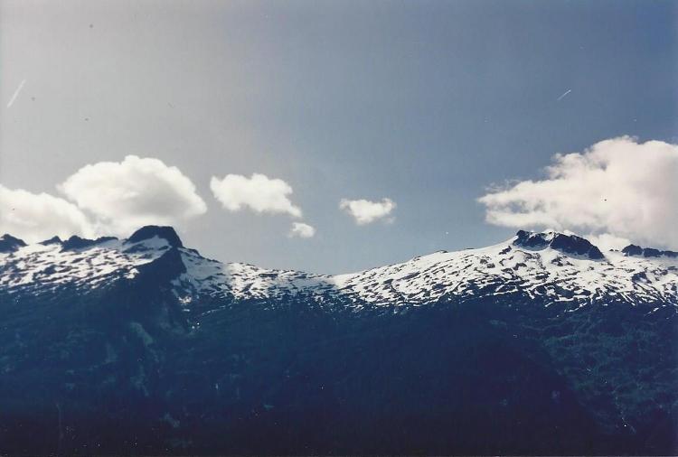
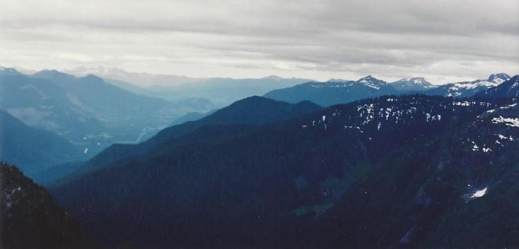
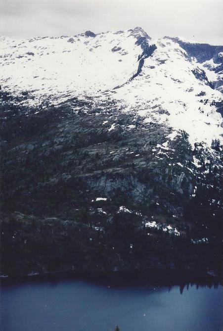
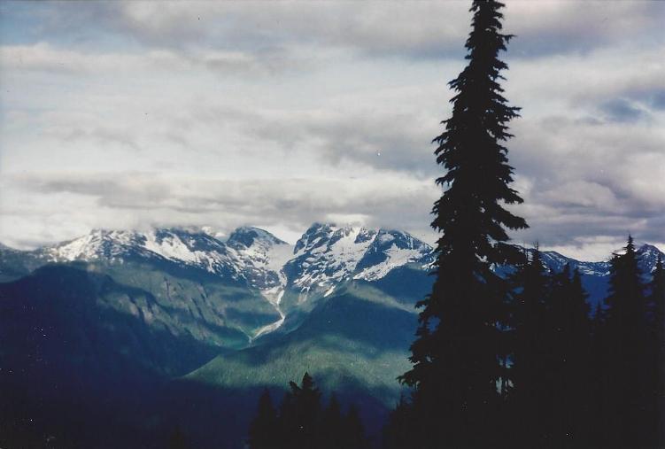
Mt. Triumph, upper Thornton Lake, from near Trappers Peak
Thornton Lake
Newhalem
Thornton Lake
Teabone Ridge, Big Dvil Peak
Pyramid, Paul Bunyons Stump, Pinnacle (from road when there was a view)
Looking East
Looking down toward Marblemount from near Trappers Peak


