WillhiteWeb.com

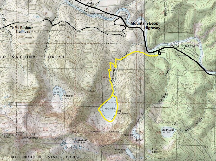
Hiking Distance: 2.7 miles to the lake
Elevation Gain: 1,350 feet
Highest Point: 2400 feet
Access: Paved to trailhead
Lake Twenty-Two
Access:
From Granite Falls, take Hwy 92 to Verlot, pass the Ranger Station, then the bridge over the river, then the Pilchuck road, and soon, see a sign on the right for the Lake Twenty-Two Trailhead.
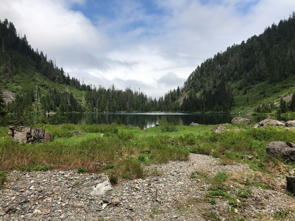
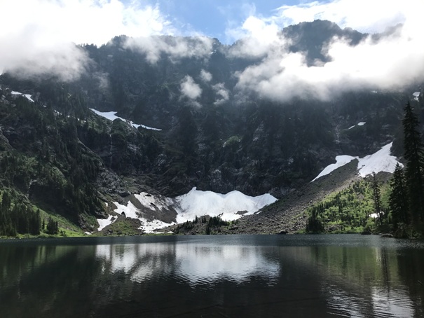
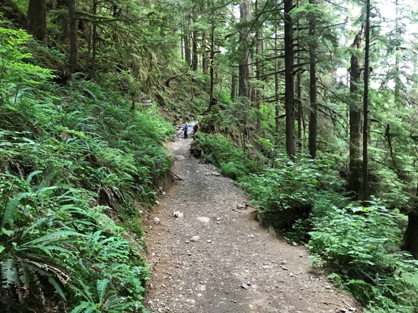
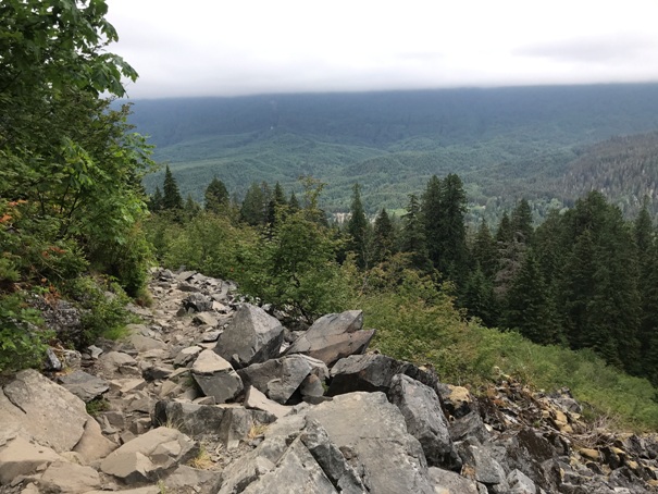
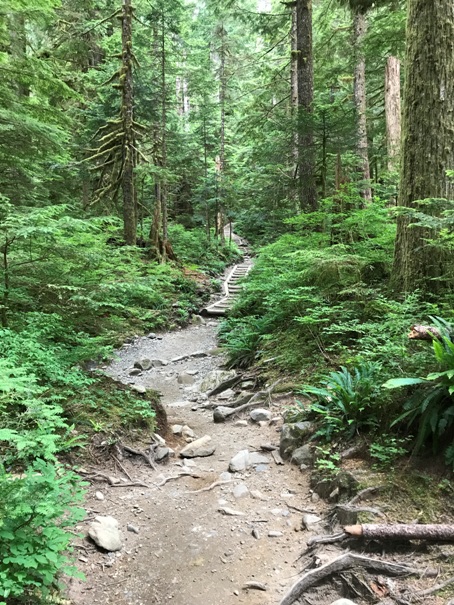
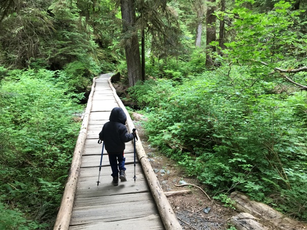
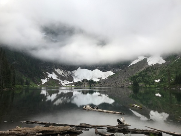
One of the most popular trails in Western Washington, Lake Twenty-Two offers a big view without a super hard effort. The cliffs of Mount Pilchuck towering above are pretty amazing, creating a bit of an alpine cirque. Along the trail is a nice old growth forest as well. A lot of work has gone into the trail to keep water from eroding the trail surface, but there are still some sections where the trail climbs through boulder fields. Once at the lake, be sure to hike the trail that circles around the lake. The trail is an Instagram favorite, so boatloads of people hike it, so expect lots of company. My 4-year old was able to hike the trail, around the lake and back down again, with lots of play breaks of course.
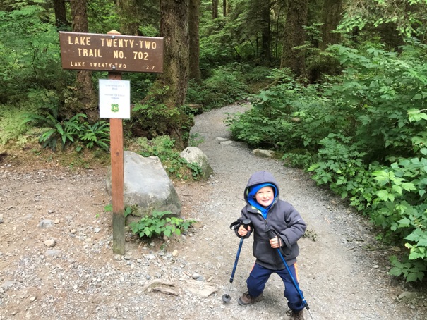
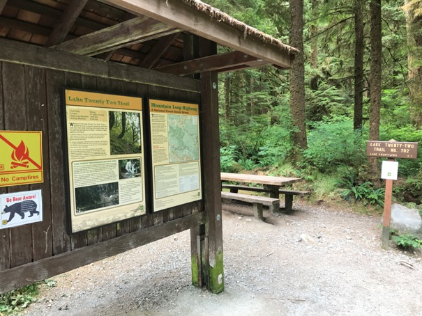
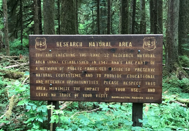
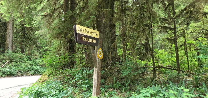
Lake Twenty-Two Trailhead
Ready to go
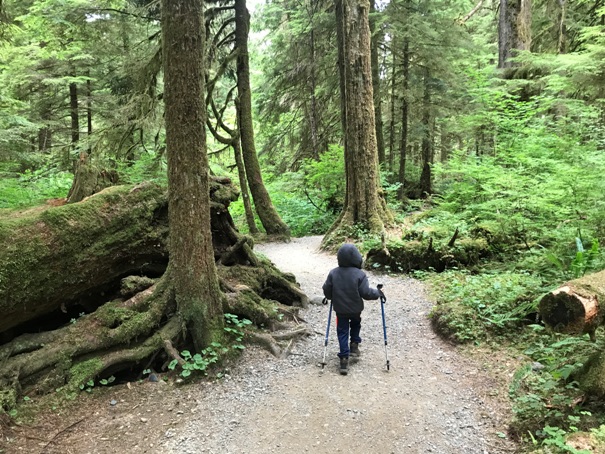
Easy at first
Forested hike
Wet area
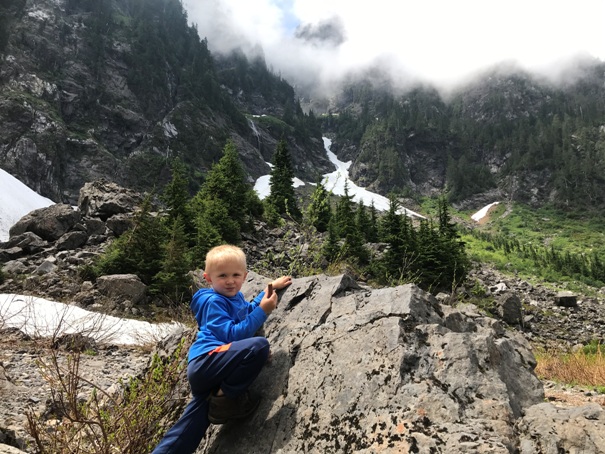
Some views from the boulderfields in route
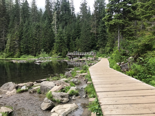
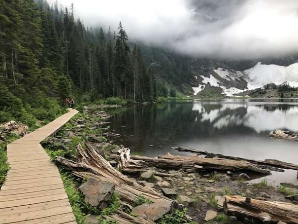
Trail arrives to the lake at this bridge and boardwalk
Lake 22 boardwalk
Lake Twenty-Two as the clouds burn off Mt. Pilchuck
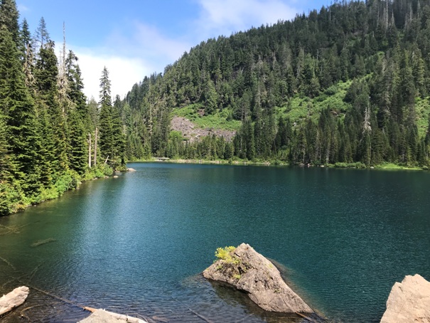
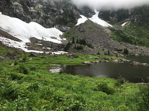
The lake from the far end of the loop trail
Lake Twenty-Two with clouds
Hiking around the lake
Hiking around the lake
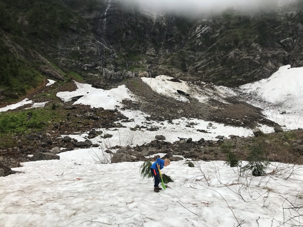
Digging in the avalanche debris
Bouldering


