Tolmie Peak Lookout
WillhiteWeb.com
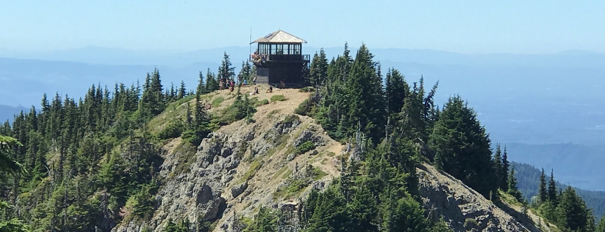
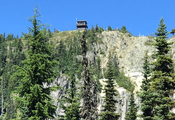
On July 31, 1934, panoramic images were taken at 4 feet above ground. The brush had to be cut to provide the full 360 views. No hints of the tower were in the images, so the lookout was built after the photos. The original still stands, a standard National Park Service style, 2-story frame cab. It is maintained by the National Park Service.
The summit is named for Dr. William Tolmie who in 1933 lead a botanizing expedition from the Fort Nisqually to study and collect plants. It is not clear if he summited the peak or just saw it as they were in the area.
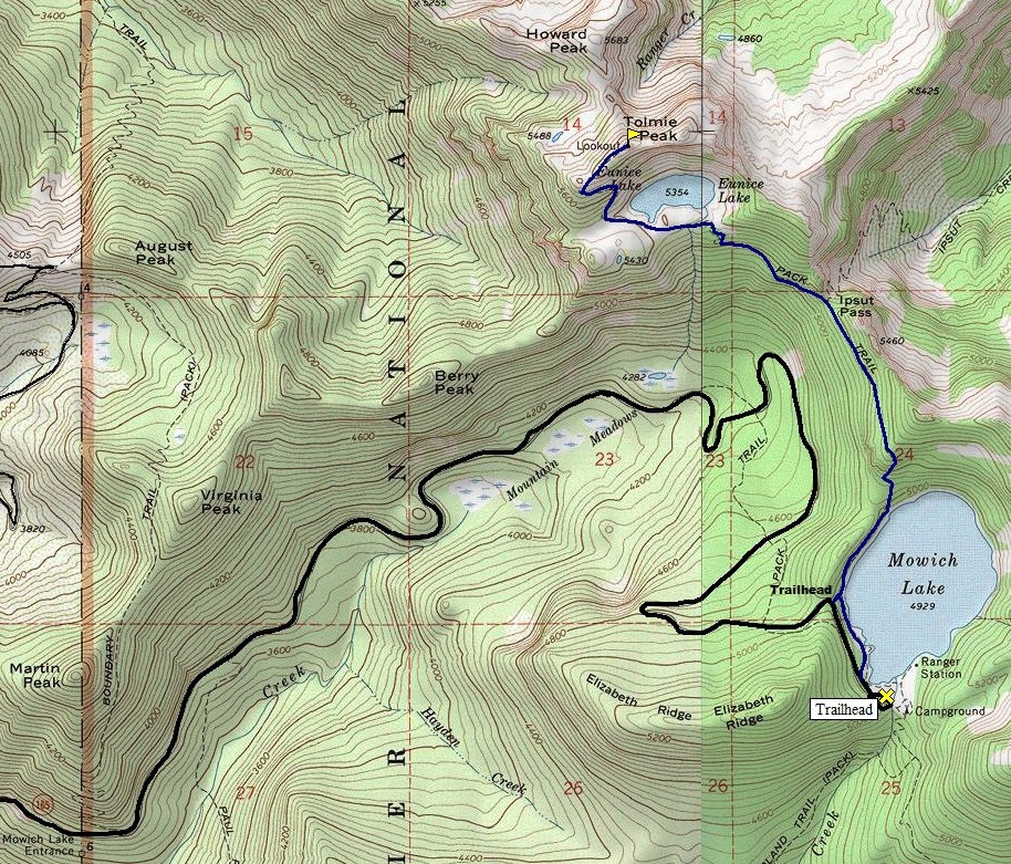
Lookout Elevation: 5,940 feet
Hiking Distance: 2.5 miles
Elevation Gain: 1,000 feet
Access: Nice Gravel Road


Looking North, July 31, 1934
Looking Southeast, July 31, 1934
Looking Southwest, July 31, 1934

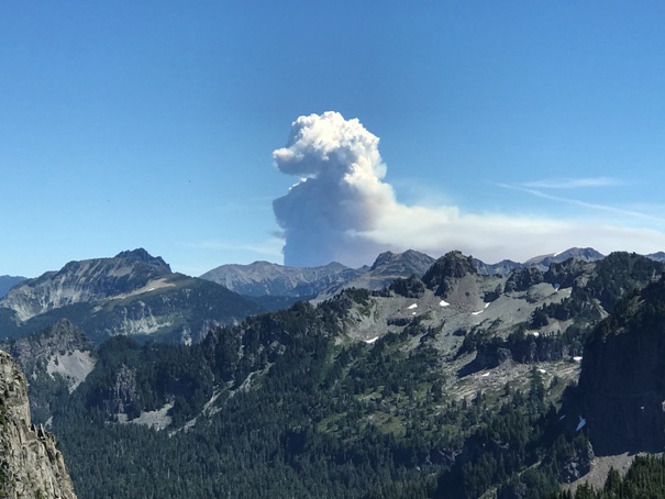
Fire near Naches from Tolmie Peak Lookout in 2021
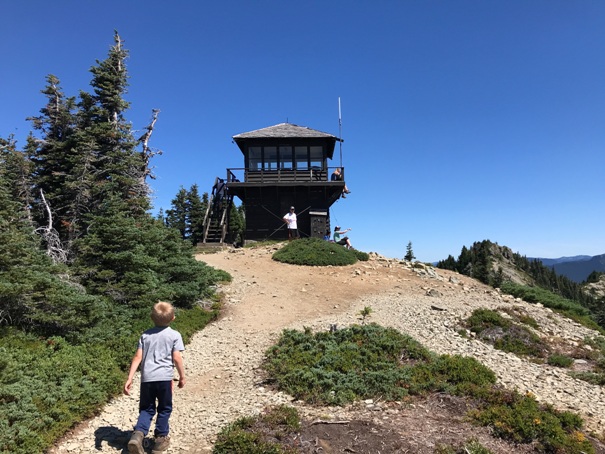
Lookout above Eunice Lake
Lookout above
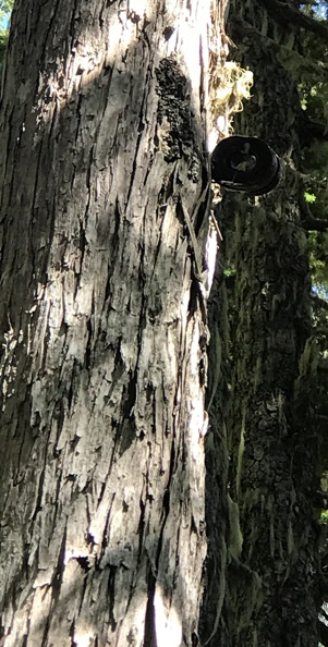
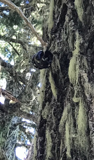
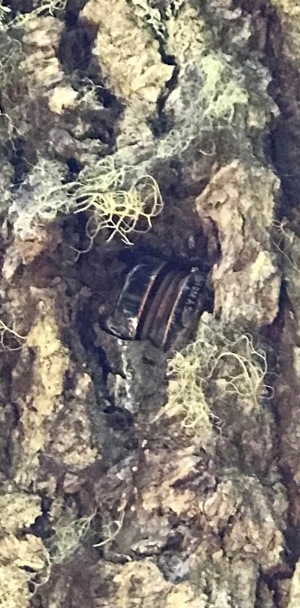
Phone insulator almost engulfed in growing tree. 1938 lookout reported using 2-way radios so this line may have just been going from Ipsut Creek Ranger Station to Mowich Ranger Station.
There are phone insulators from Mowich Lake to the Ipsut Pass Junction.
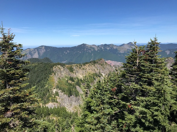
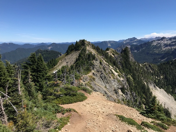
Looking Northeast to the Tolmie Peak highpoint (about 10 minutes easy scramble)
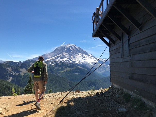
Mount Rainier and the lookout
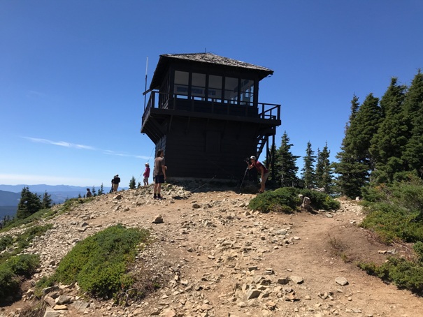
Tolmie Peak Lookout from the true summit of Tolmie Peak
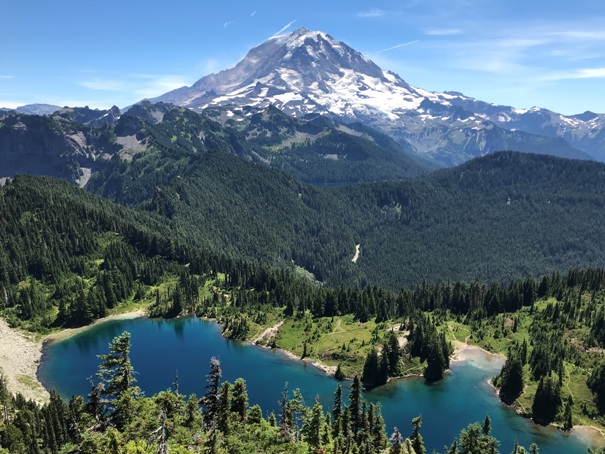
Rainier and Eunice Lake from the lookout
Looking Northwest
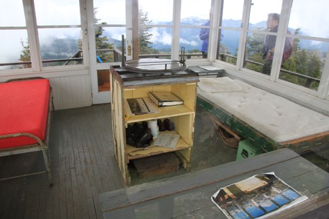
Inside lookout
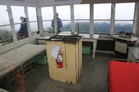
Inside lookout
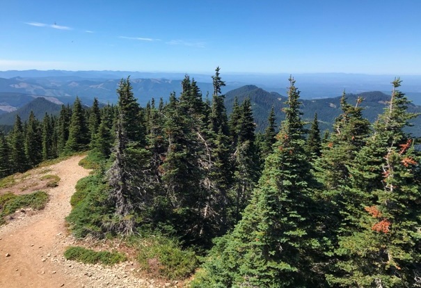
Looking South from Tolmie Peak


