WillhiteWeb.com

Summit Elevation: 7,006 feet
Distance: 1.5 miles one-way
Elevation Gain: 800 feet
Road Access: Paved
Dege Peak - Sourdough Ridge Trail
Access & Roue:
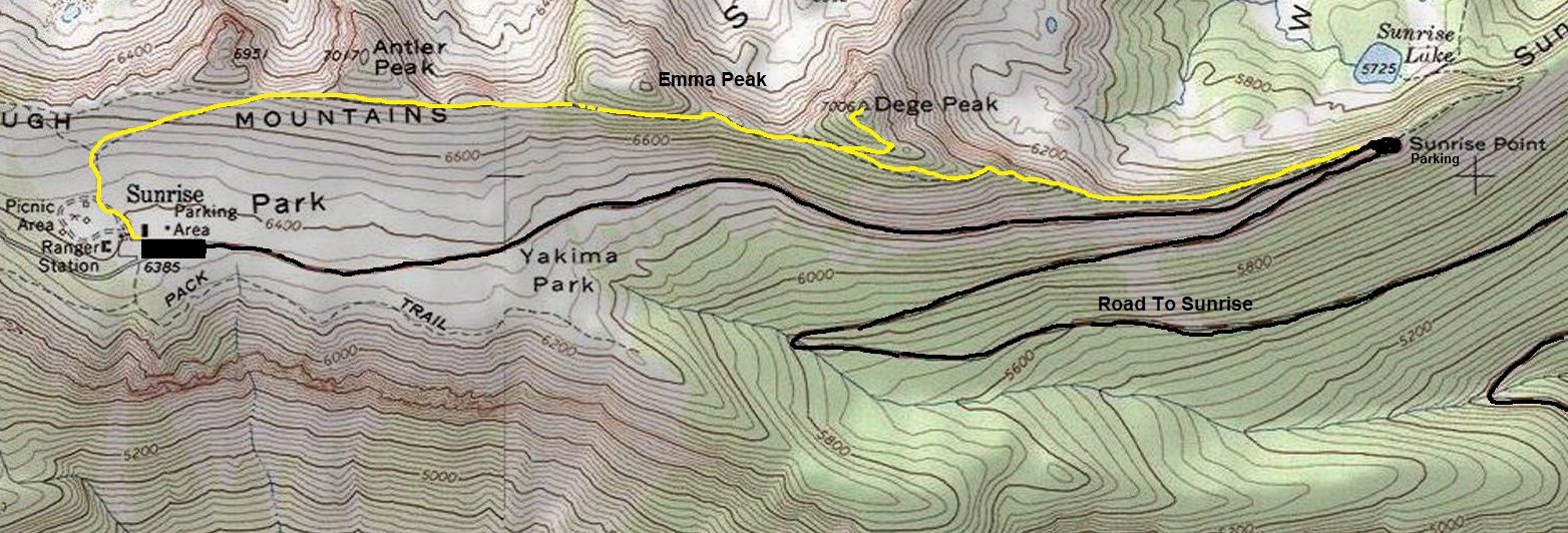
Taking the road up to Sunrise, you can start at the Sunrise Point parking area or start at the end of the road at Sunrise. Both are about the same milage. The Sunrise Point start has a bit more elevation gain but has less hikers on the trail. Find the trailhead across the road from the parking lot when looking up at Dege Peak. For the Sunrise route, from the visitor center, climb a set of large stairs through the open meadows a half a mile into Yakama Park. When you reach a T junction, go right along Sourdough Ridge. Some ups and downs will get you to the signed turn for Dege Peak. After a few switchbacks, you are there.
One of the easiest but worthy summits to reach in the park is Dege Peak (pronounced Deh-gay). With views along the way and a perfect perch not too close to Rainier, the views extend out for miles.

Sunset Point from a 100 feet up the trail
Sourdough Ridge Trailhead at Sunset Point
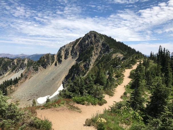
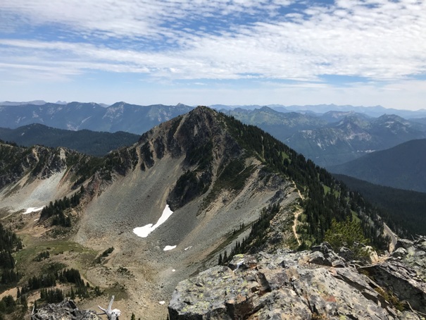
Dege Peak from Sunset Point side
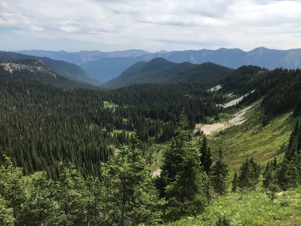
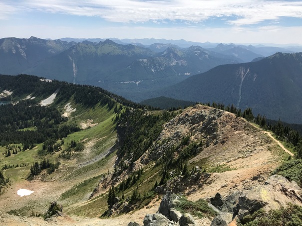
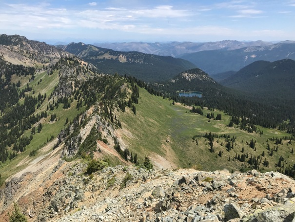
Looking down Sunrise Creek Valley
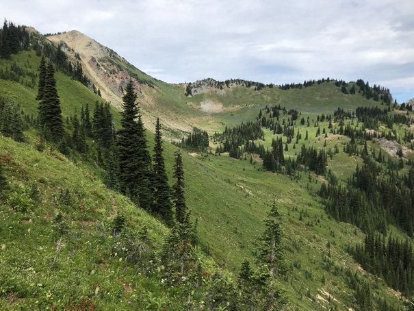
Meadows below Dege Peak
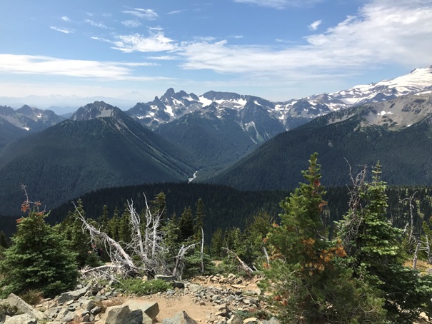
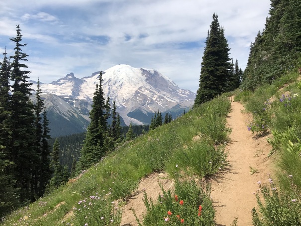
Mount Rainier views along the trail
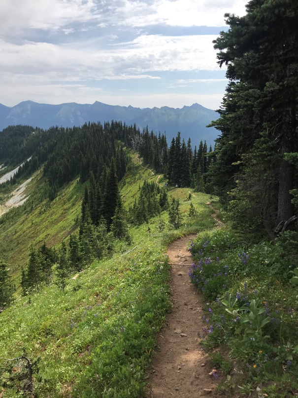
Sourdough Ridge Trail
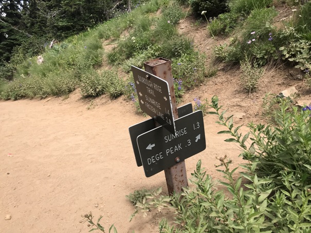
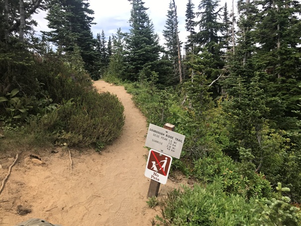
Dege Peak turn off the Sourdough Ridge Trail
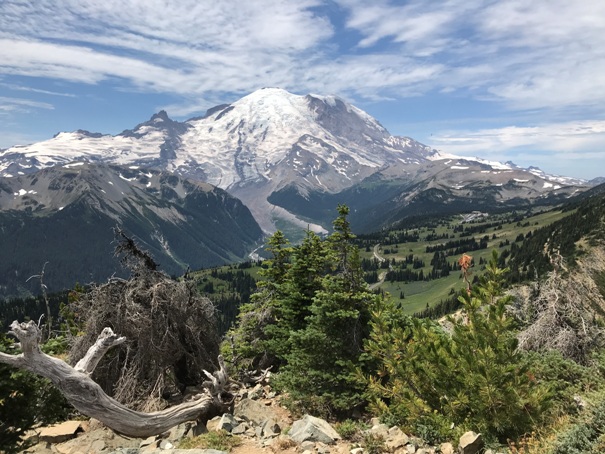
Mount Rainier from Dege Peak
Looking south over Tamanos Mountain and Governors Ridge
Views east to Chinook Pass area
White River Valley
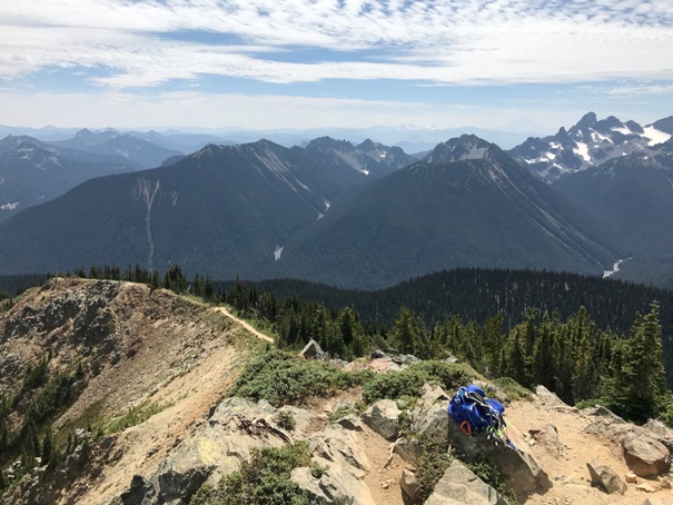
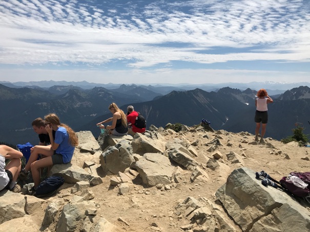
Summit of Dege Peak
Looking North along the ridge of the Sourdough Mountains
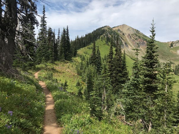
Approaching Dege Peak from the Sunrise side
Dege Peak from Emma Peak


