Pinegrass Ridge Jeep Trail
WillhiteWeb.com
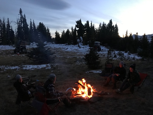
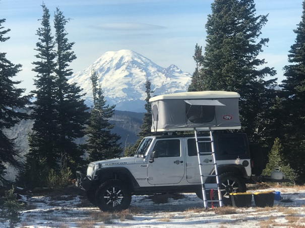
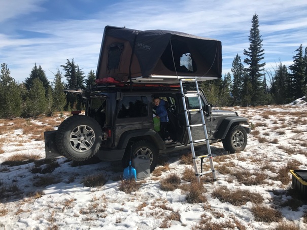
This is a short trail, just a few miles, but will take you up to 6,600 feet to a viewpoint at the edge of the Goat Rock Wilderness. There is a meadow at the top to camp and there is lots of exploring available on interesting terrain. A precarious path heads to the highest point of the ridge or you can walk the plateau out to various meadows and hidden viewpoints.
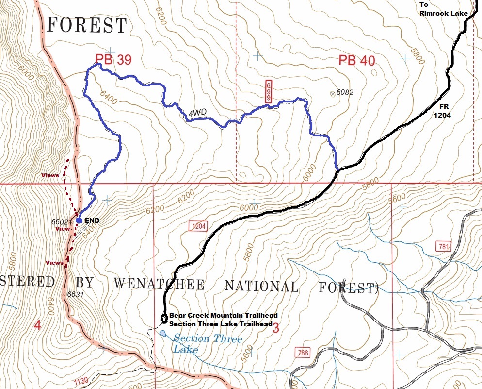
From Highway 12, get onto the paved recreation road that wraps around Rimrock Lake. Leave the pavement onto Forest Road 1205 and follow for 2.7 miles. Turn left on Forest Road 742 and take a slight right on Forest Road 1204 and follow Forest Road 1204 about 5 miles to the trail start. (Basically follow signs for Section 3 Lake trailhead and about a mile before the end of the road, the Jeep Trail (possibly signed 699) quietly takes off to the right into the trees.
A stock Jeep can get up the trail without too much problem. I scrapped rocks a few times. There are a few difficult spots but they have a go around.
Access
Route


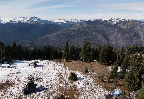
Drone shot of camp and looking southwest
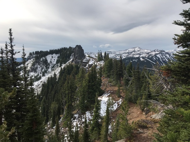
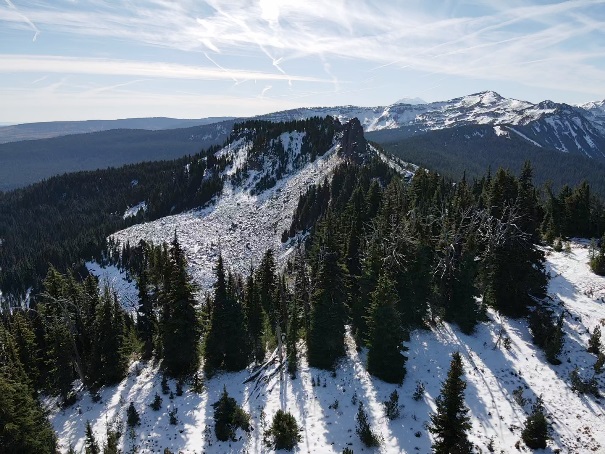
Drone shot of the highpoint to the south
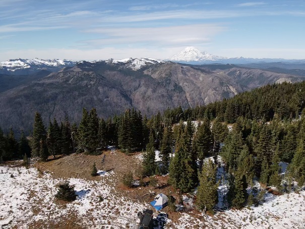
Drone shot of camp and looking west
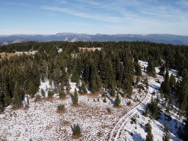
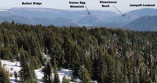
Drone shot looking north
Drone shot looking SE toward Darland Mountain
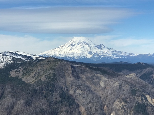
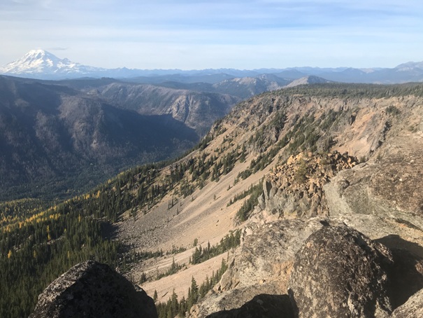
Zoom to Mt. Rainier and in the foreground, the lightning caused Miriam Fire of 2018
The west side of Pinegrass Ridge is cliffs down to the Tieton River Valley
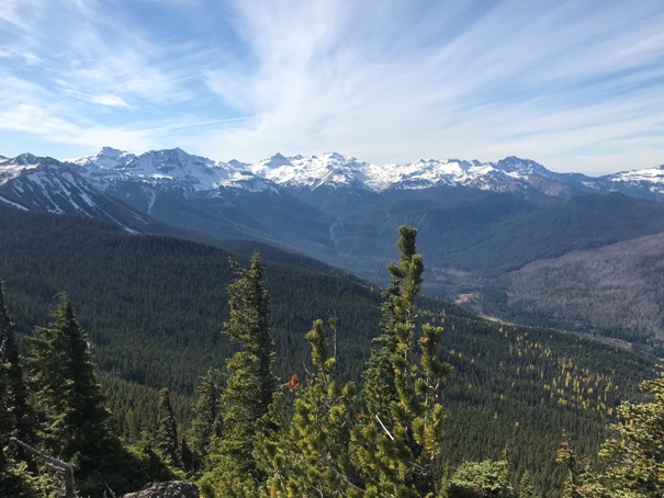
The Goat Rocks from the viewpoint next to camp
View south to the Pinegrass Ridge highpoint, a class 4 scramble
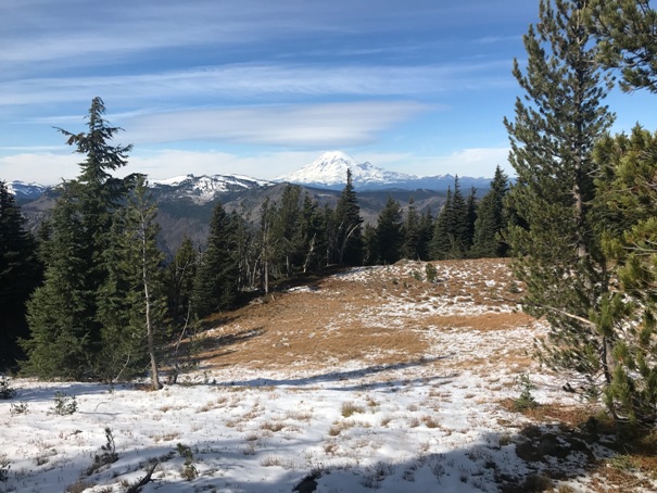
A meadow just below the camp
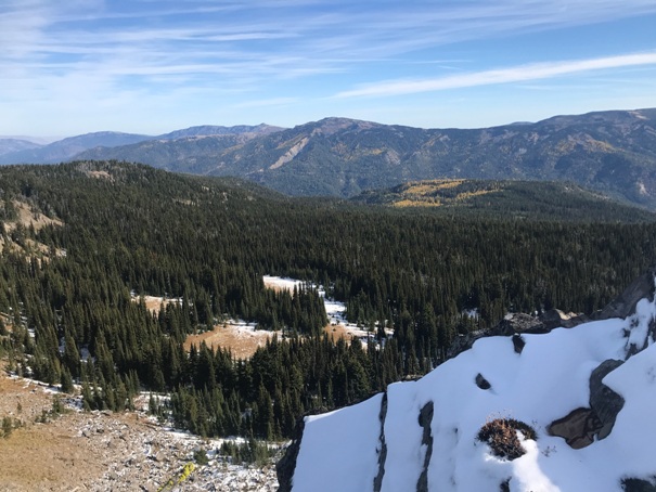
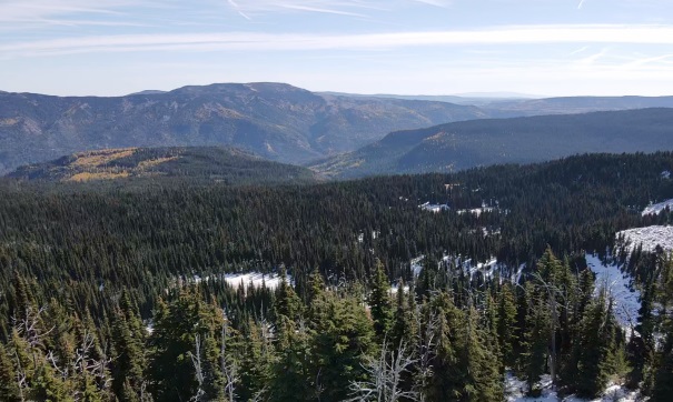
Looking east from viewpoints near camp
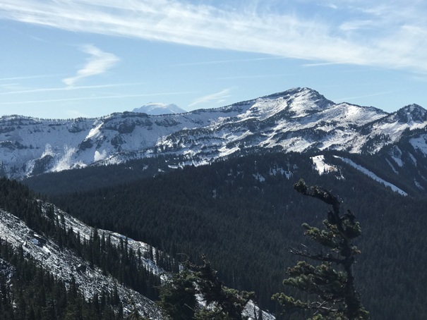
Bear Creek Mountain to the south with Mt. Adams just poking above the ridge
Drone shot looking toward Rimrock Lake
