French Ridge Jeep Trip
WillhiteWeb.com
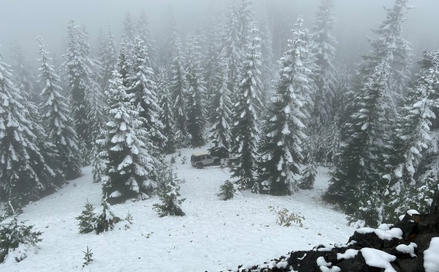
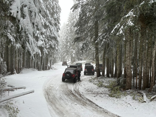
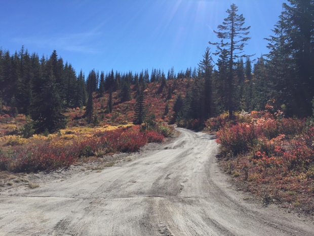
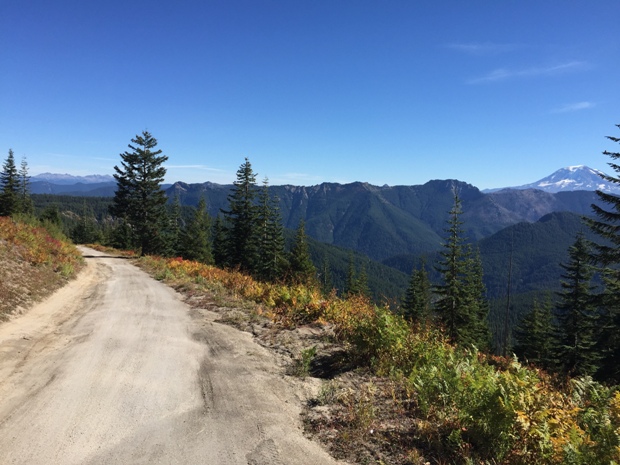
There is not a specific name for this location, but Burley Mountain, French Butte, Pole Patch, and Ferrous Point are all highlights. This ridge can be run fairly easily, with any high clearance vehicle most summers. In fall with snow, the ridge gets more challenging. In spring, the snow takes awhile to melt given the ridge reaches 5,000 feet in elevation. There are numerous dispersed campsites along the ridge. You can drive to all these spots in one day or make an overnighter out of the trip.
Take your vehicle to one of the most scenic places accessible by vehicle in the Gifford Pinchot. The summit also has a fire lookout that has been restored recently (2022) and will become a rental. Unfortunately, once the rental is ready, a gate will probably be installed lower down. If so, walk the road to the top for the view.
Pinto Rock
The road skirts below this scenic rock outcrop that is best left for rock climbers.
Access:
The short road to the summit is overgrowing and rutted, but still possible to drive-up. This was a historic fire lookout with a flat summit you could camp at. Unfortunately, the trees have grown and taken the views.
There are two observation points on this side road. Your vehicle with get you within a easy walk for each. After the lookout was abandoned on French Butte, they used parts of the structure for a lookout down on Ferrous Point.
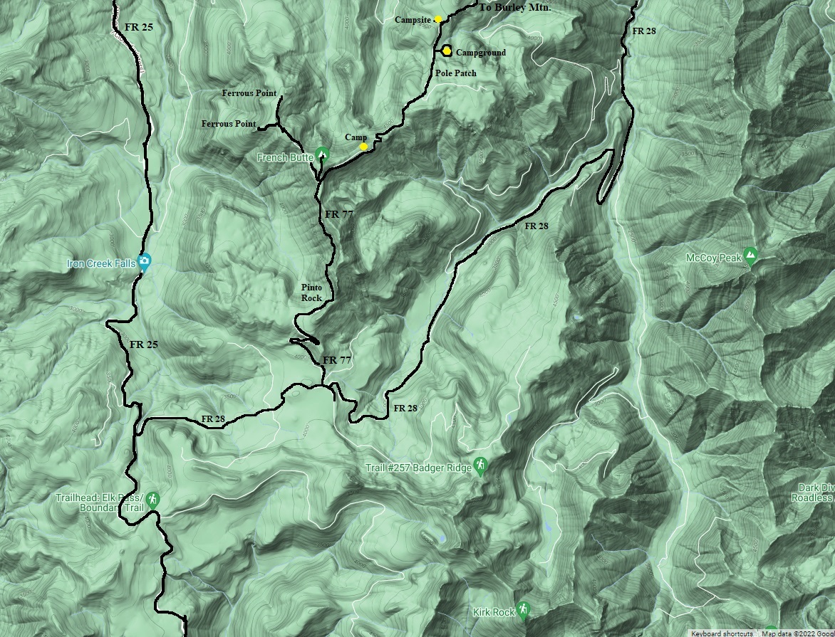
From Randle, take FR 23 following signs to the Cispus Learning Center. Drive past the center roughly 2.5 miles to FR 7605. This is the most direct route up to the ridge. There is also another route with pavement halfway up the ridge by taking FR 77 just a bit further down the road. (See map below). Take 7605 up to Burley Mountain, then just follow the ridge south (becomes FR 77). See map for side roads and the 2 options you have to return to Randle (FR 99 which is paved or FR 28).
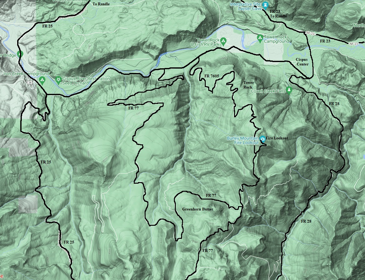
Map for the north half of the route. Forest Roads 77 and 7605 can be used to access Burley Mountain. Forest Roads 25 and 28 are return routes in the valleys.
Map for the south half of the route. FR 77 passes Pole Patch, French Butte and Pinto Rock. Ferrous Points are a side road. Forest Roads 25 and 28 are return routes in the valleys.
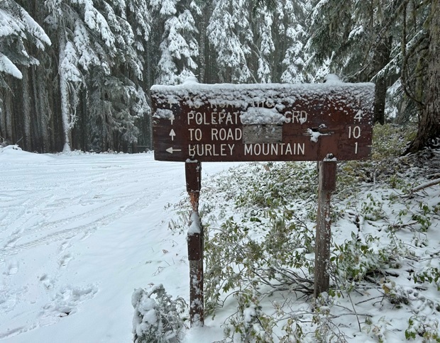
Sign at the junction of FR 7605 and the 1 mile spur to the top of Burley Mountain
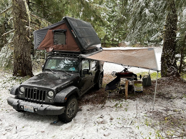
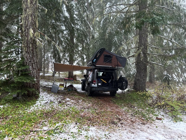
Campsite shown on the top of the map at page bottom.
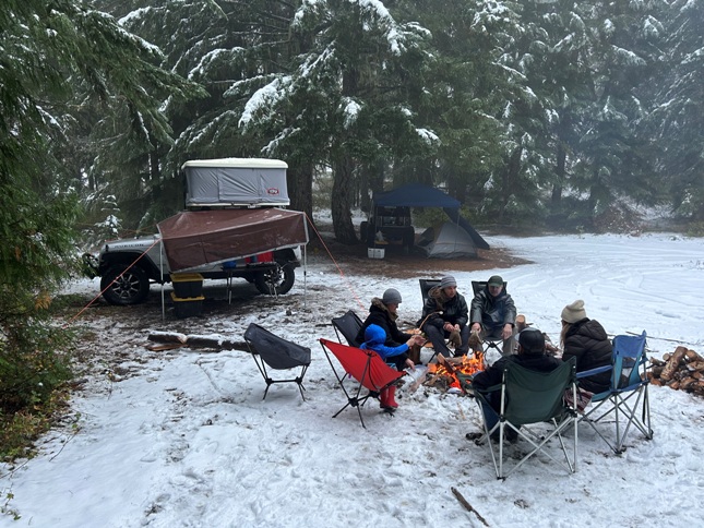
Ran into the Military Jeepers Club
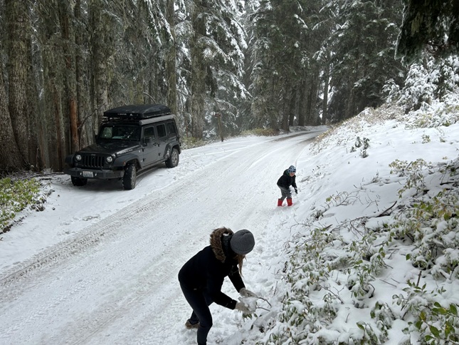
Snowball fight
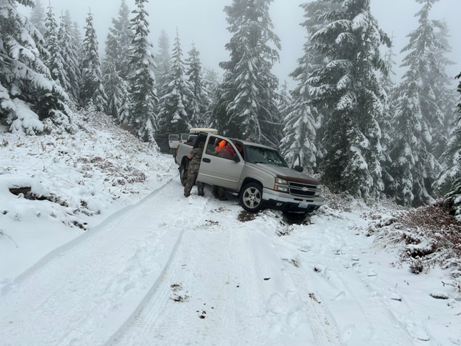
Hunter slid off the road
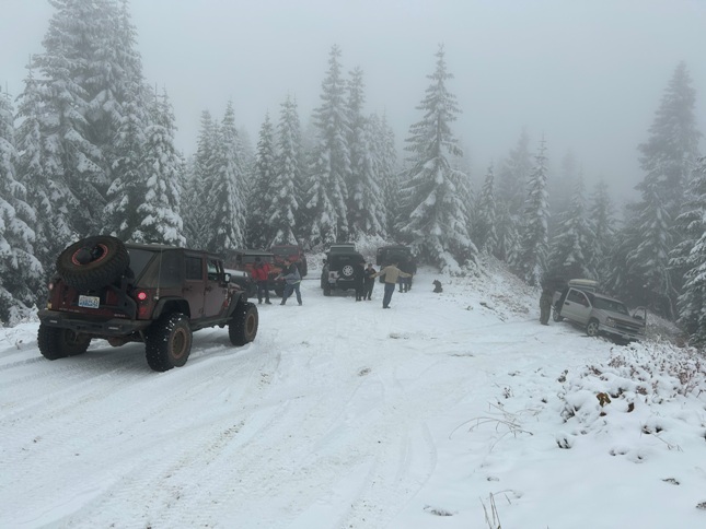
Getting winched out
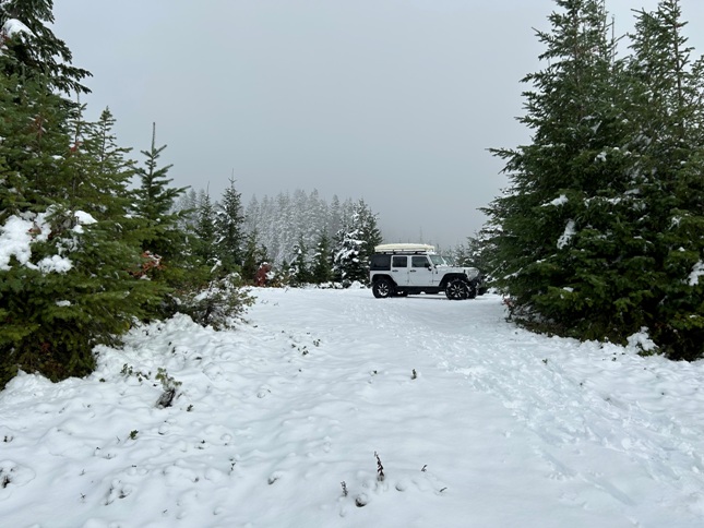
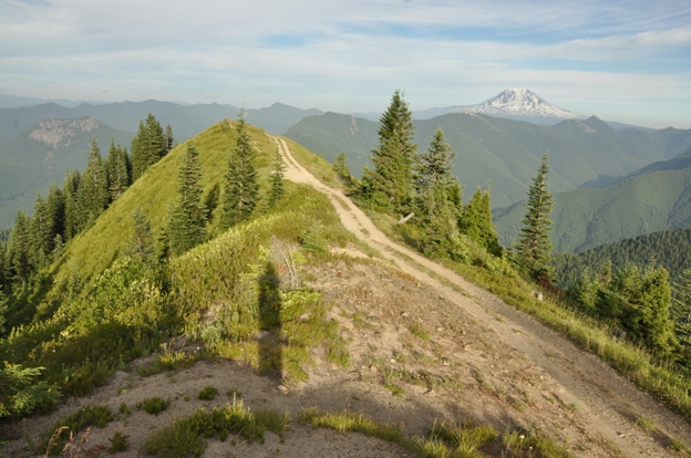
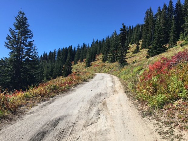
Road on top of Burley Mountain
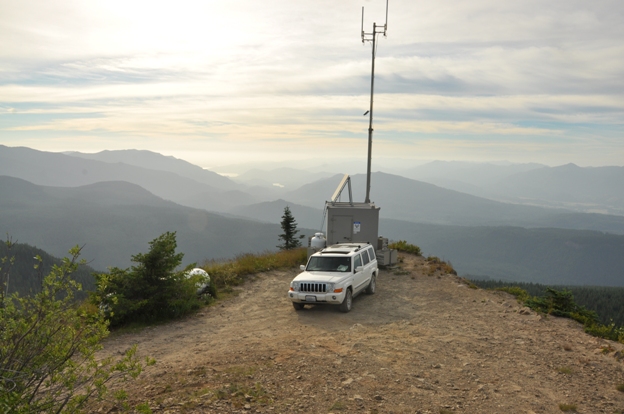
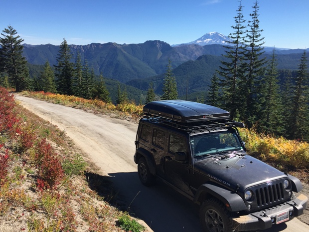
Parked on the summit of Burley Mountain
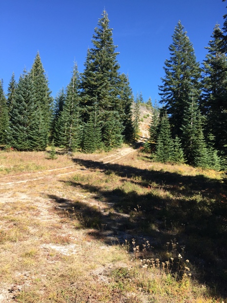
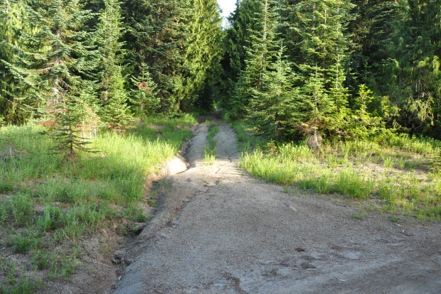
The short spur road up to French Butte as it leaves FR 77
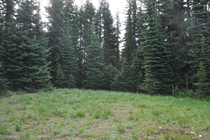
French Butte summit would be a good camp
Road to the Ferrous Point north site gets close to top but not all the way, must hike a one minute trail.
Driving through the Pole Patch
Ferrous Point (north point) from the road.
FR 77 near French Butte
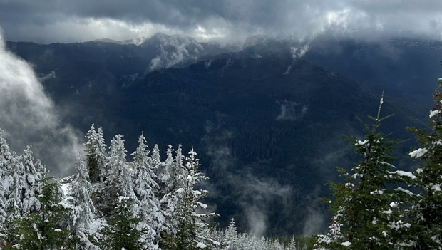
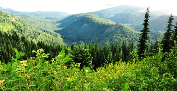
Views from FR 77
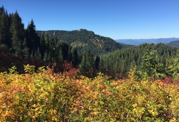
FR 77 views near French Butte
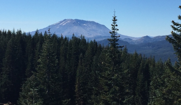
Mt. St. Helens from Ferrous Point
Ferrous Point view
Ferrous Point south site
Ferrous Point north site looking down at the parking area


