Hawkeye Point - Iowa State Highpoint
WillhiteWeb.com
In 1971, the USGS found the place that everyone thought was the highest point in Iowa was not the highpoint at all. The actual highpoint was 57 feet higher located on the Sterler farm next to a feed trough. For years visitors would then get permission from Donna and Merrill Sterler to visit the farm and site. In 1998, the site was officially named Hawkeye Point. In 2005 Merrill passed away and his wife moved to a home in Sibley. She and her children graciously deeded the highpoint site of about two acres to Osceola County, who then improved the site and purchased more property to make it even larger. In just the last several years, the property has had many changes and now one can spend a good hour walking around and looking at all the exhibits. Access the site at any time or day of the year. There is even a basic campground across the street.

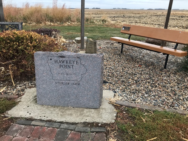
Elevation: 1,670 feet
Access
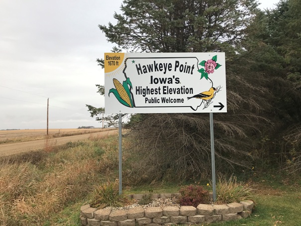
The location is well signed off Route 60, north of Sibley, just three miles south of the Minnesota boarder.
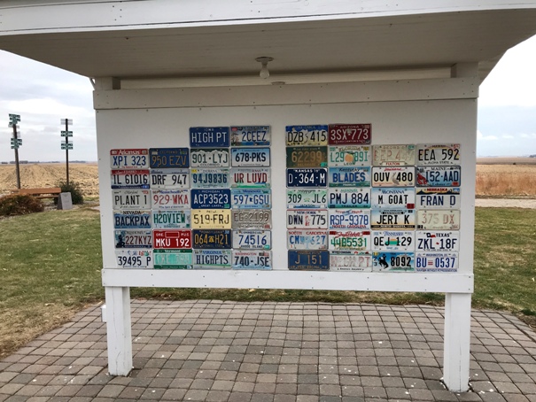
Mr. Sterler marked the original highpoint location with an expired license plate that said HIGH PT. Today the tradition continues with a plate from every state.
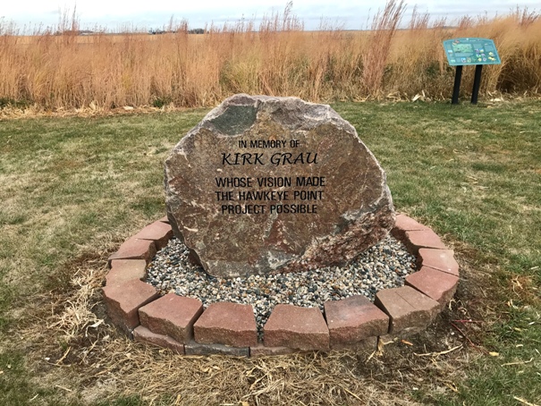



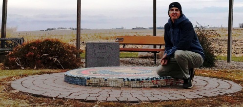
Memorial to Kirk Grau
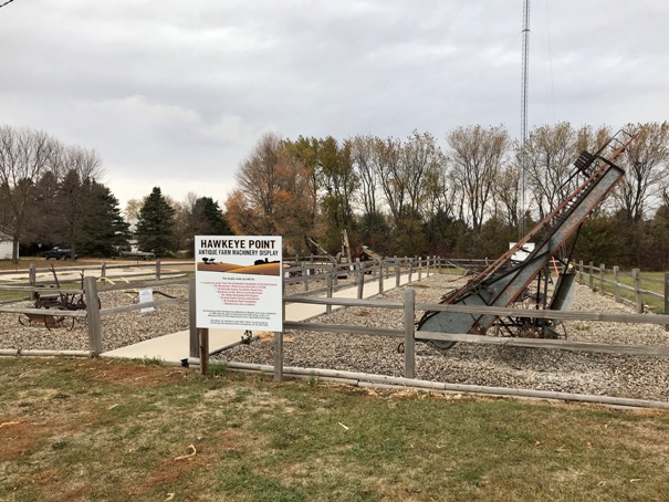
Antique Farm Machinery Display
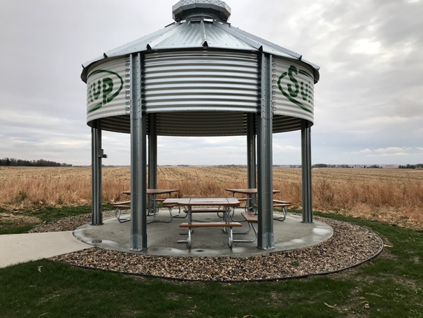
Picnic area
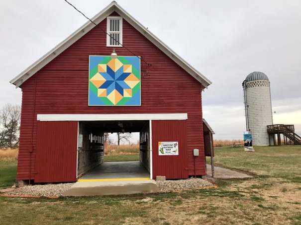
Barn with walk through farm museum
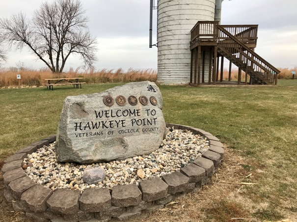
Veterans of Osceola County
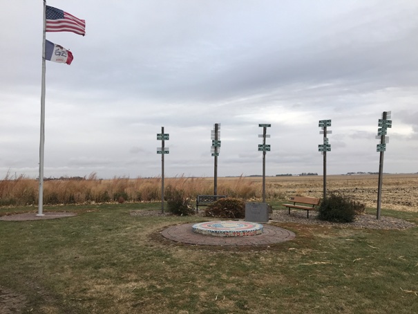
Highpoint spot
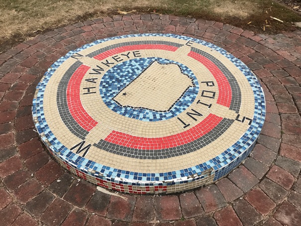
Hawkeye Point
Sign at the entrance
Directions to other State Highpoints
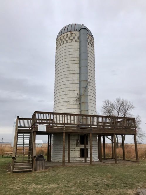
Old silo with observation deck
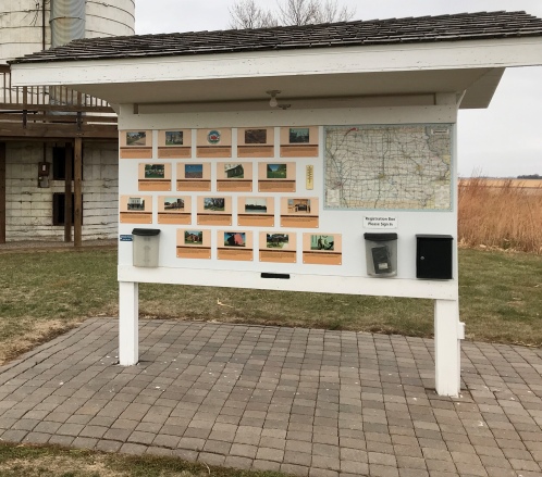
Display of other nearby attractions
Directions to other State Highpoints


