
WillhiteWeb.com
The Wigwams are the site of a former lookout and an all around easy high point to view the Selkirk Mountains. The rock formations near the summits are really interesting to explore.
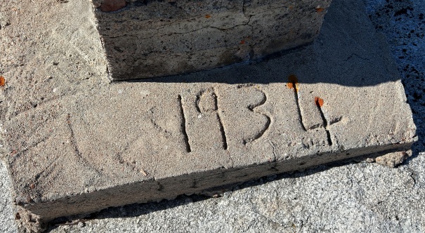
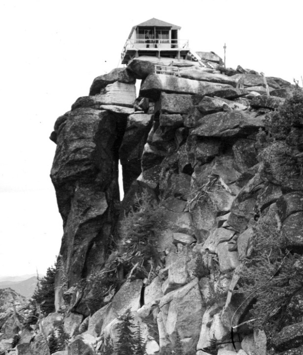
In 1934, an L-4 cab was built.
In 1972, the cab was destroyed.
Lookout History:
Summit Elevation: 7,033 feet
Hiking Distance: 1.5 miles each way (gate open) add 1.2 each way if gate closed
Elevation Gain: 1,300 feet (open gate), 2,000 closed gate
County: Boundary
Access: Higher clearance vehicle best
The Wigwams (Squawman Peak Lookout)
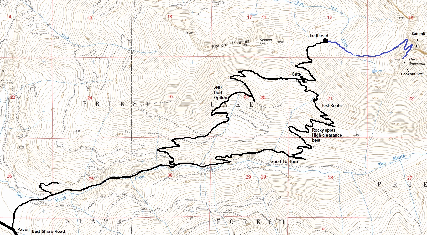
See map below. The road starts to deteriorate as it begins the climb up the ridge so high clearance is best, although you could push a car up the road. Water bars would be the main issue. A gate one mile before the trailhead was closed during my visit on July first, with no sign explaining why.
Access
The trail climbs up into the South Fork Lion Creek drainage and crosses the creek for a good water source and some old camps. The trail then goes over to the edge of a massive granite cliff overlooking the Kent Creek Valley. From here the path continues another half-mile switchbacking up to the summit ridge. Once on the ridge, the lookout site is to the right a short distance while the true summit is to the left.
Route


View SE with Harrison Peak on left
View SE with Harrison Peak on right
Priest Lake
Northern footing on the edge of the cliff
Looking North with Lookout Mountain in center
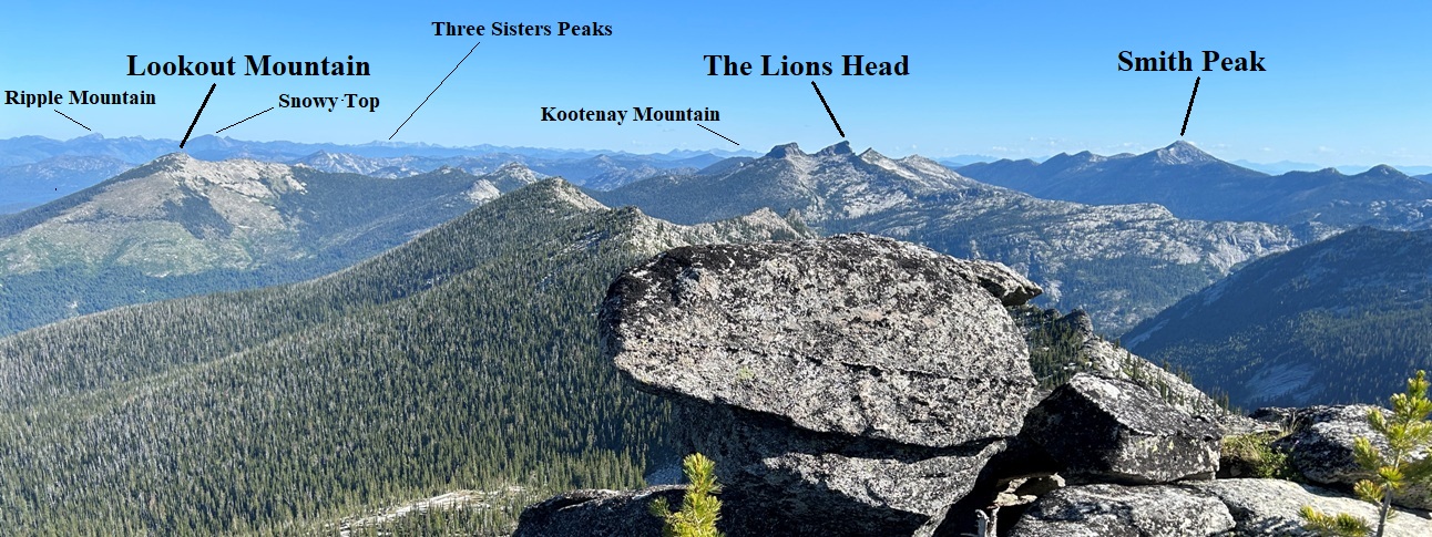
Panoramic to the south and east
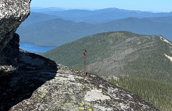
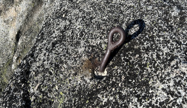
Eyebolt
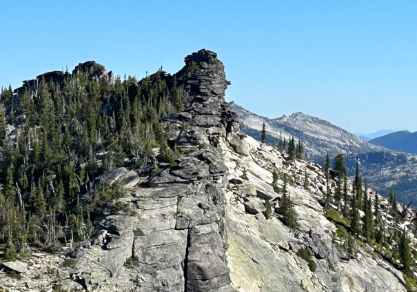
Rocks along the ridgeline in route to the summit
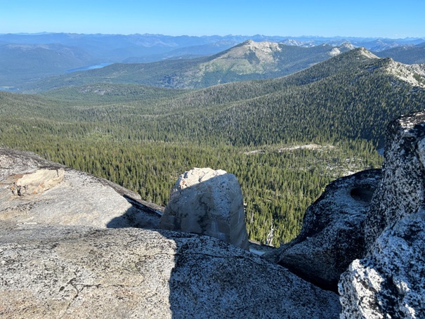
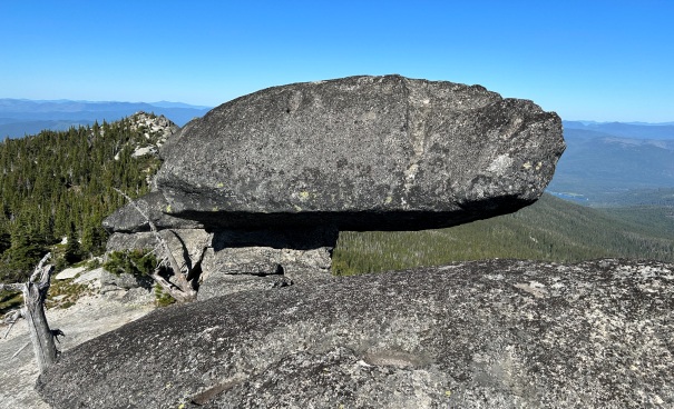
Over at the true summit of Wigwams is this rock
Eyebolt
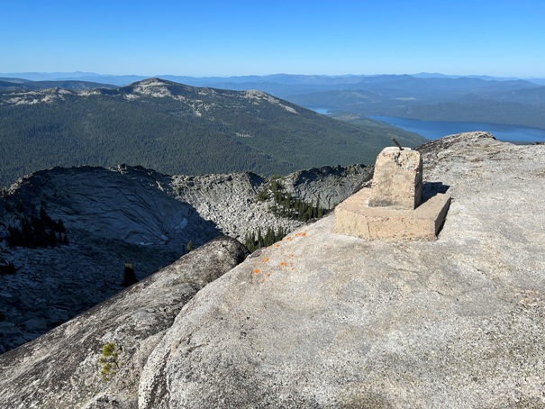
Dated footing
Southern footing
Squawman Lookout in 1948
One easy one hard


