WillhiteWeb.com
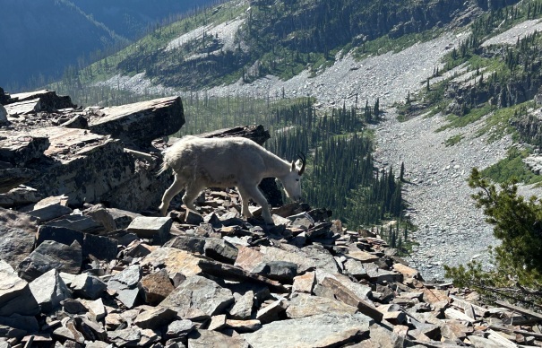
One of the most popular trails in North Idaho is Scotchman Peak. A nice trail allows you to cruise to the top where it is the most prominent point in the region. You will also have a high chance of seeing mountain goats.
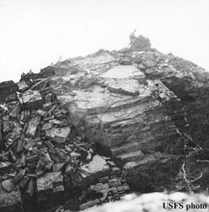
In 1922 there was an Alidade
Around 1926 a D-6 cupola cabin built.
In the 1950s it was abandoned and in ruins by the mid-1970s.
Lookout History:
Summit Elevation: 7,011 feet
Hiking Distance: 4 miles each way
Elevation Gain: 3,800 feet
Prominence: 4,651 feet
County: Bonner
Access: Any vehicle
Scotchman Peak
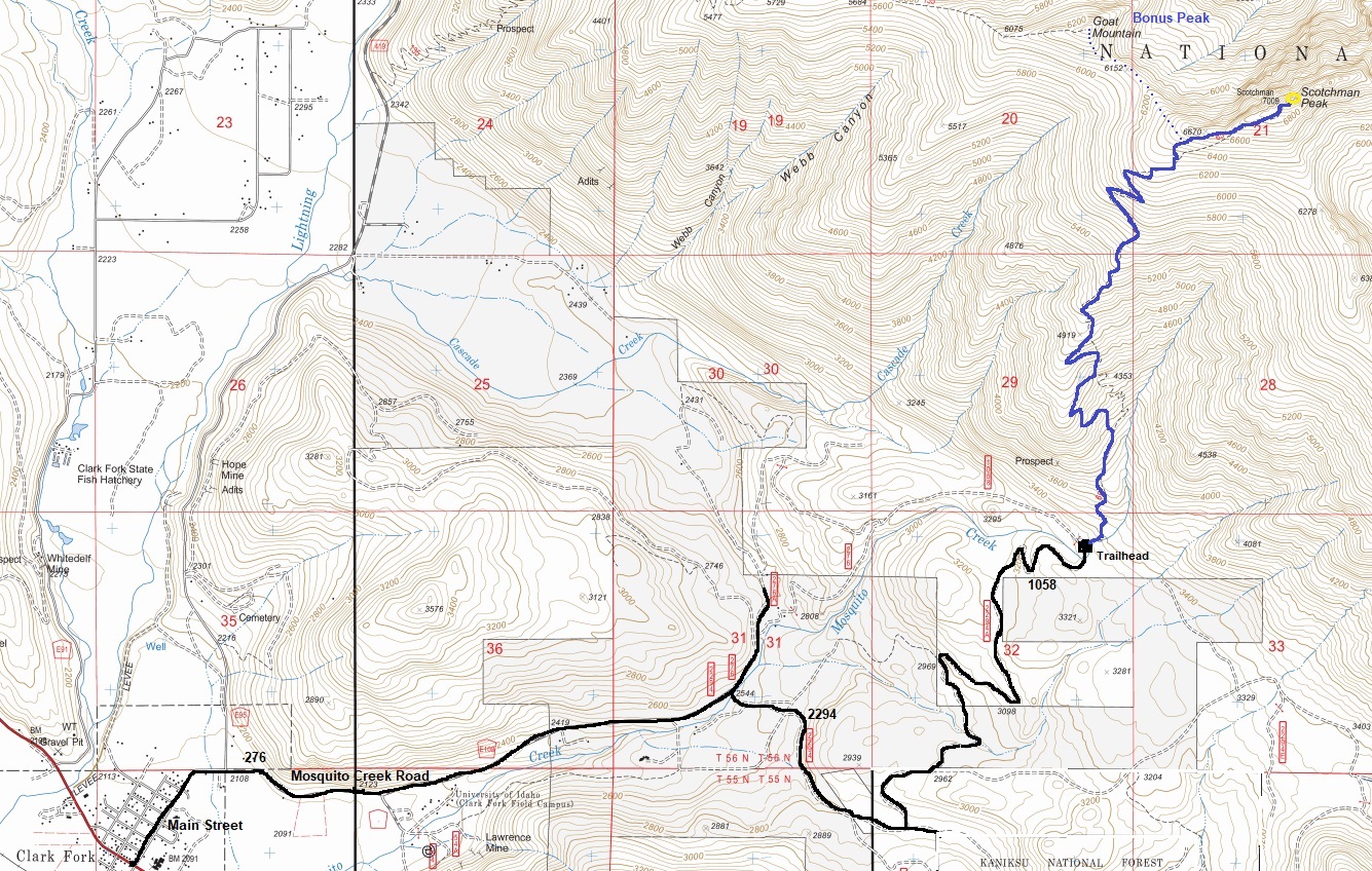
The road has a few potholes and bumps but overall, any car can make it. From Clark Fork, take Main Street. This becomes Mosquito Creek Road. Most of the turns from this point hint with an arrow something about a trailhead.
Access
Just follow the trail to the summit. Lots of elevation gain but short and good quality trail, no issues. Trail veers off USGS map location of trail in several spots.
Route
If you have some extra energy, you can head over to Goat Mountain. From the camp at tree line, traverse the base of the boulder field to the ridge, and then drop down the ridge and up to the summit of Goat Mountain. The brush is mostly easy.
Bonus Peak: Goat Mountain
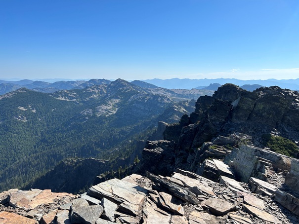
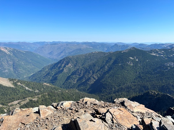
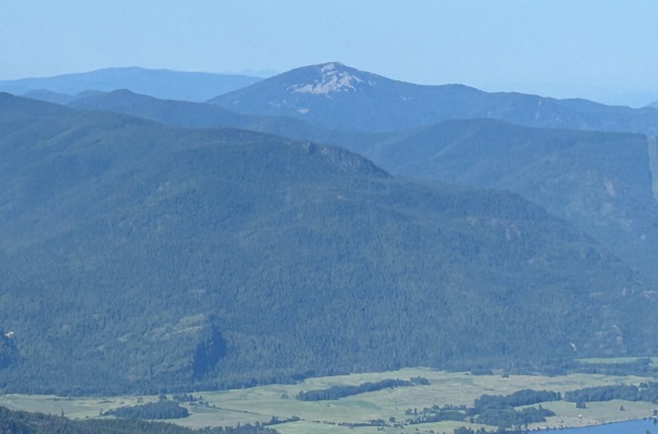
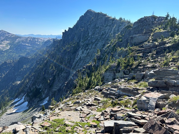
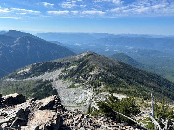
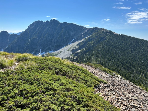
Scotchman Peak summit in view
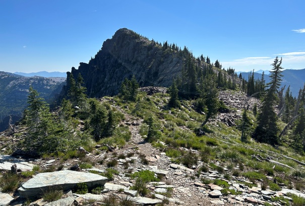
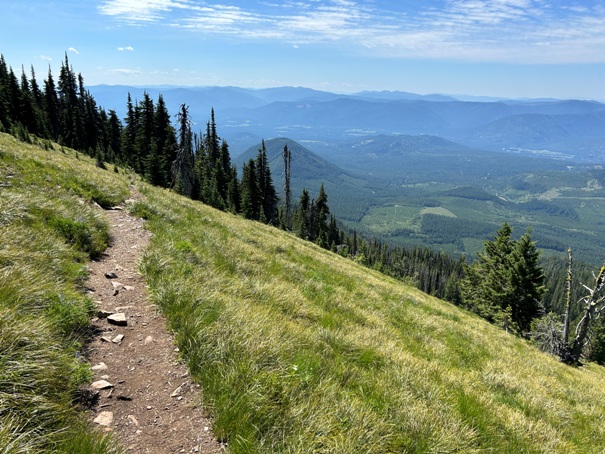
Open area on the trail up
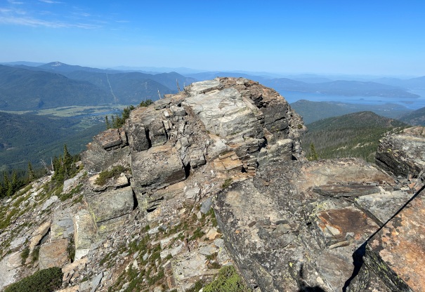
Nearing the summit
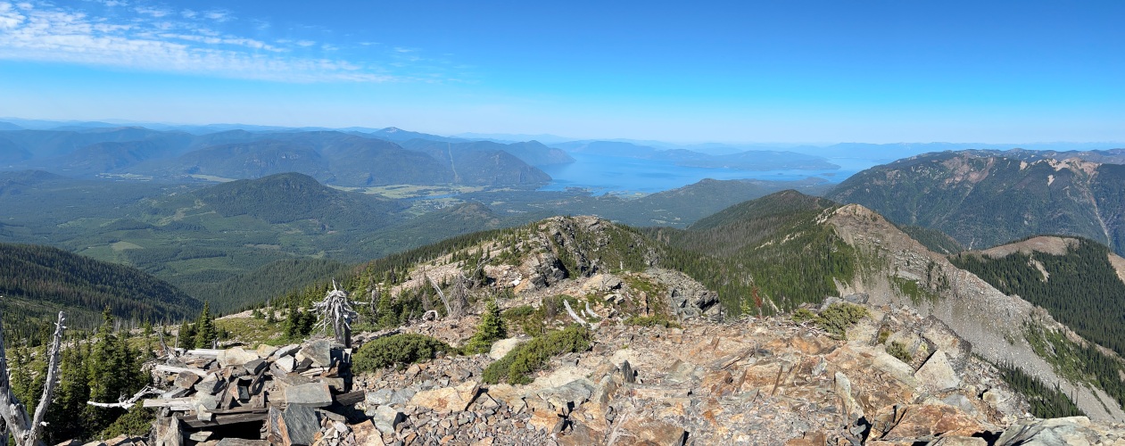
Lake Pend Oreille from the summit
Northeast from the summit
North from the summit
East from the summit
Southeast from the summit
Packsaddle Mountain
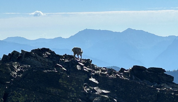
Goats on the summit
Goats on the summit
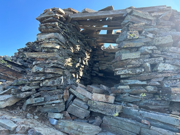
Shelter at the lookout site
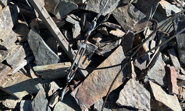
Old anchors and wires from the lookout
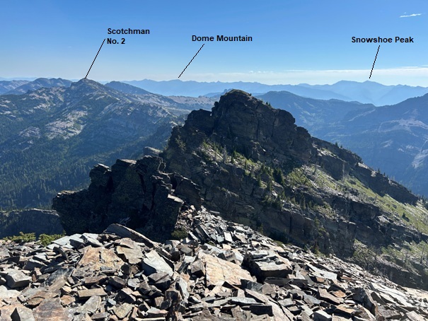
Lookout site and summit from the rock to the east
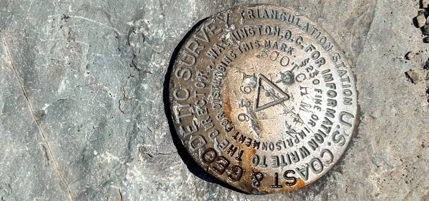
Summit benchmark
Scotchman Peak from Goat Mountain
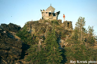
Ray took in 1975
Scotchman Peak in 1921


