Summit and lookout elevation: 4,397 feet
Hiking Distance: Drive up or 1/2 mile hike on road
Elevation Gain: Drive-up or 500-foot gain
County: Kootenai
Access: Good roads to last mile.
Easy access and some views make this a nice destination, as long as the views remain.
Lookout History:
In 1931, and L-4 cab was on the summit.
In 1938, the USGS placed a benchmark but made no reference to a building.
In 1945, another L-4 cab may have been built.
In 1952, the cab was destroyed.
In 1956, a USGS party said the lookout tower had been removed.
WillhiteWeb.com
Access:
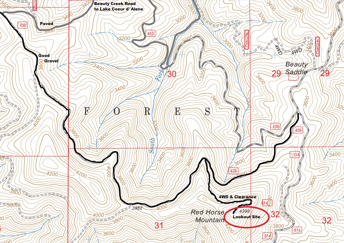
A good, paved road gets you high on the mountain. Take Highway 97 south of I-90 at the NE end of Lake Coeur d Alene. When the highway wraps into Beauty Bay, a forest road 438 turns left to a camping area. Follow FR 438 many miles to the top of the ridge, then turn left on FR 439. After a few gravel road miles, an unsigned spur to the right takes you the final half mile up to the summit. Most people park here and walk the rest.
Red Horse Mountain
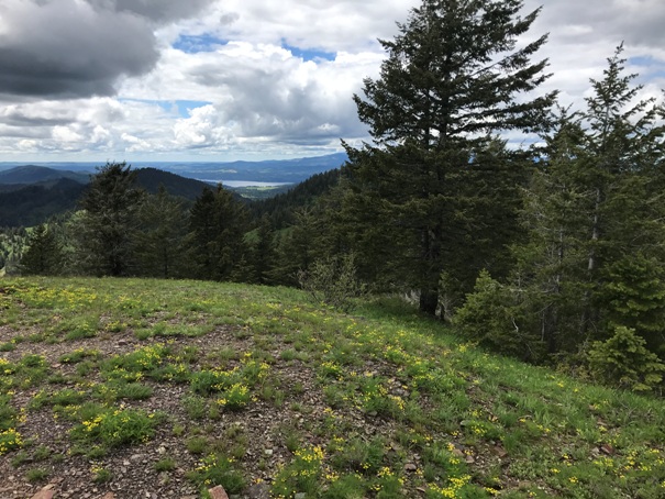
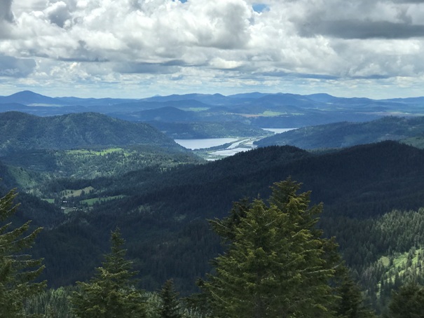
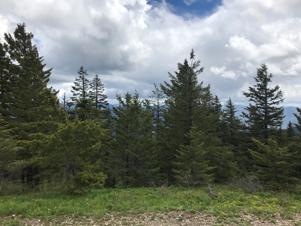
View southwest from the summit
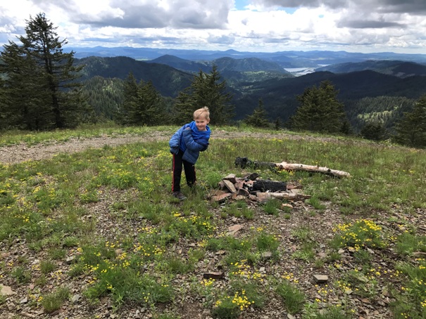
Anderson Lake
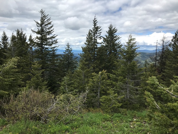
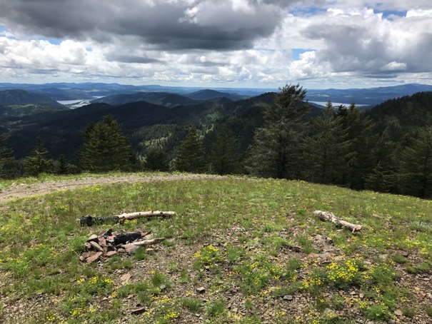
Views north getting overgrown with trees
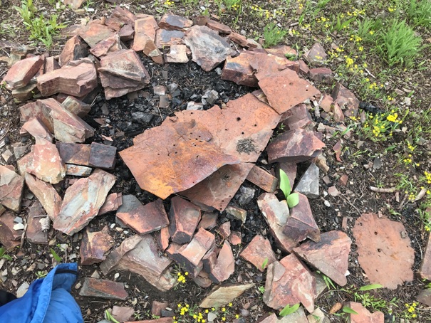
Some metal in the firepit from the lookout
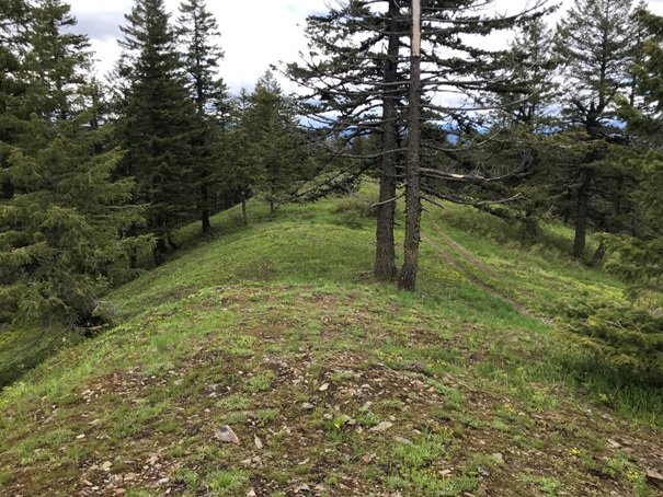
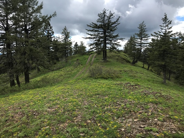
Looking up at the summit
Kid friendly
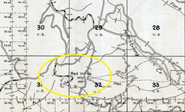
Metsker map 1959


