Lookout Elevation: 2,858 feet
Hiking Distance: 1.5 miles one-way
Elevation Gain: 500 feet
County: Bonner
WillhiteWeb.com
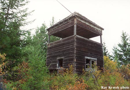
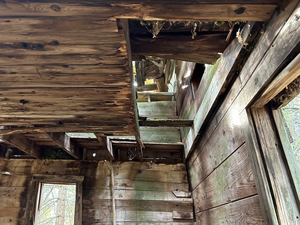
Located on private land, this abandoned 2-story frame 14x14 foot cabin was built in the 1930s.
Poirier Tree Farm Lookout
Access:
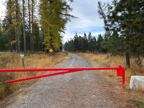
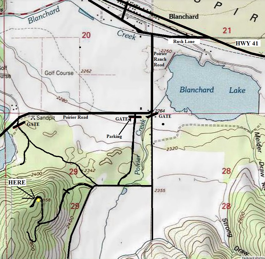
At the time of making this page in 2022, walk-in hiking was allowed with many signs saying no motorized vehicles or even e-bikes. See correct gate location on map.
Land Sale:
At the time of making this page, the 3,000-acre tree farm and ranch was up for sale for about 22 million dollars. The ranch has been actively managed by the Poirier Family for multiple generations. The hillside with the lookout has a Timber Management Plan that includes 2,100 acres of hillside timber consisting of Cedar, Tamarack, and Douglass Fir. The listing makes no mention of the lookout (as they so often are….abandoned and undesired), just making reference to the farm/ranch, timberland property, lakefront property, waterfront property, house. The listing pointed to other hillsides available for homesite development, so hopefully, access to the old lookout site will remain.
Area History:
In 1883 Louis Poirier, a French Canadian, homesteaded a piece of land in the valley. Shortly after his arrival other homesteaders and squatters arrived, and the valley became known as White, Idaho. A United States Post Office was established in 1900. In 1908 a railroad was built through this valley, and the Post Office name of White, Idaho, was changed to Blanchard, Idaho. The name Blanchard was chosen in honor of a pioneer named Blanchard who had homesteaded on a creek (which became known as Blanchard Creek). The creek ran through the town and along the railroad. The chief industry was logging and sawmill operations. Today, much of the lowlands has been cleared and converted into farming. The lookout served its purpose in the early days during the logging times.
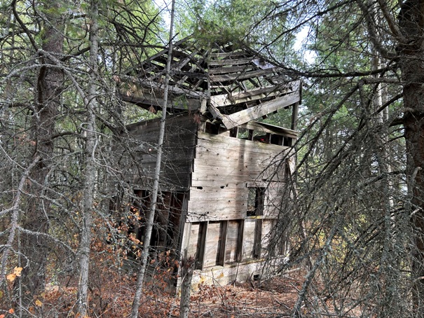
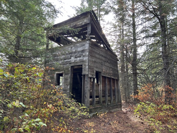
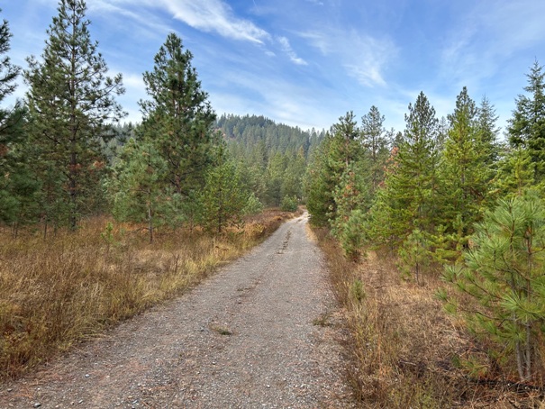
Poirier Tree Farm Lookout in 2022
Poirier Tree Farm Lookout in 2022
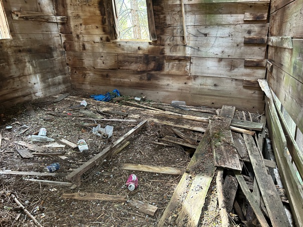
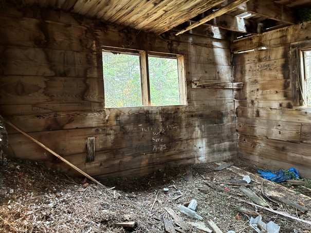
Lower level inside
Lower level floor did not look safe to step on
Looking up to the old access to the second level
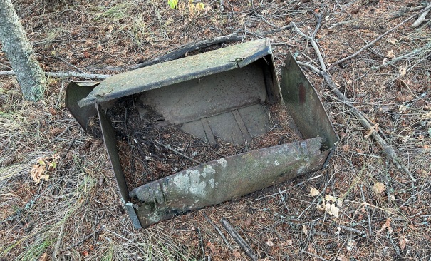
Just down the hillside
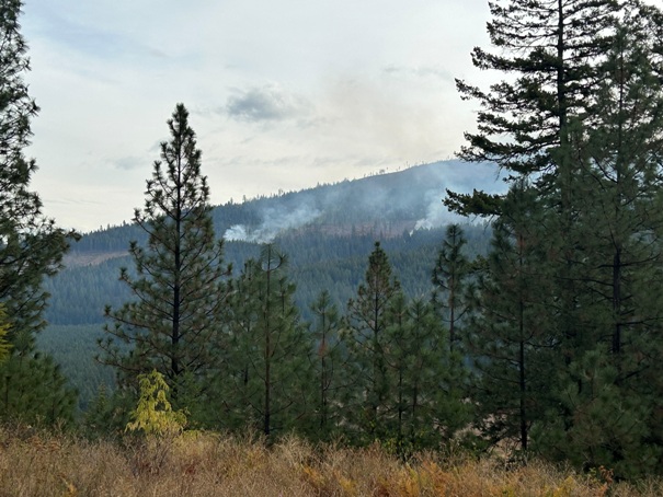
Slash pile burning on the tree farm
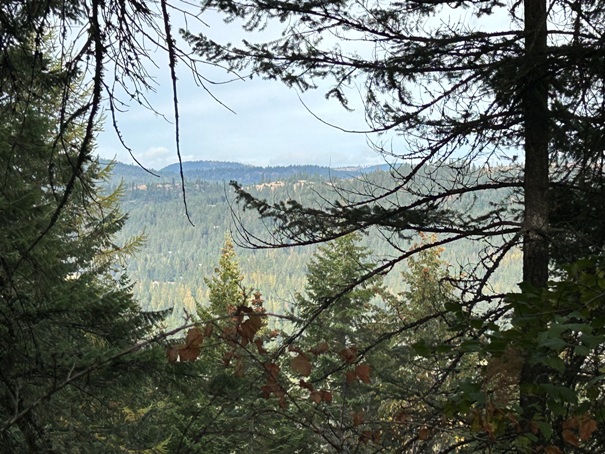
Trees blocking the view from the lookout
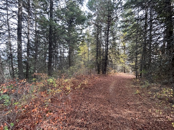
On the road hiking in, the lookout is at the highpoint on the ridge
Small view to Washington State from the lookout
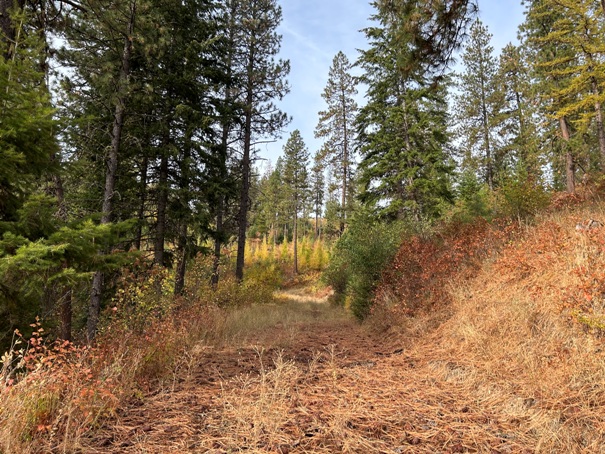
On the road hiking up
The gate at the parking area
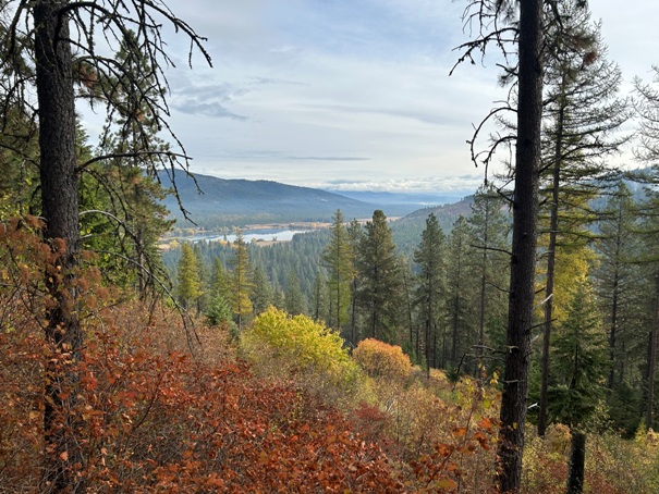
View east off the road near the lookout
Taken by Ray Kresek in 1994
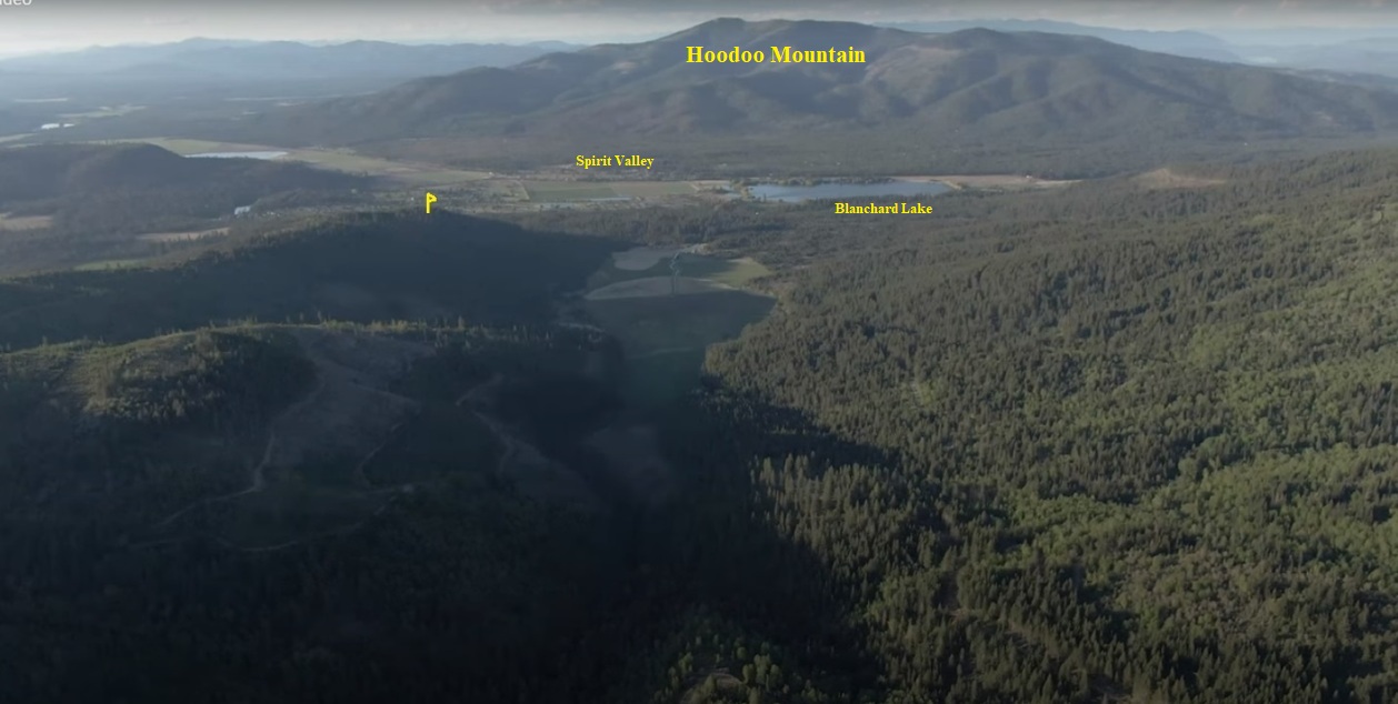
Poirier Tree Farm with the lookout site on the left
Access map


