WillhiteWeb.com
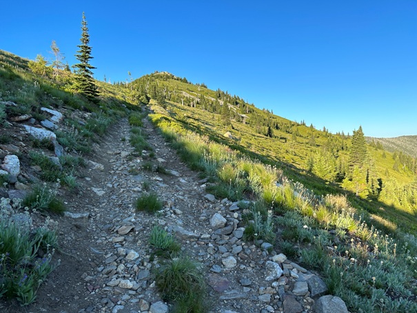
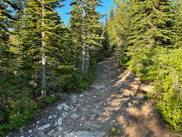
From the parking on the ridge, the road becomes more of an ATV trail. Walk the enjoyable ATV route to the summit with views most of the way.
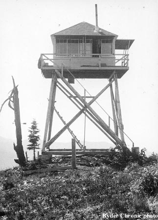
In 1932, a 15-foot pole tower with an L-4 cab was built.
In 1940, the tower was abandoned.
Lookout History:
Summit Elevation: 6,285 feet
Hiking Distance: One mile each way
Elevation Gain: 900 feet
Prominence: 445 feet
County: Bonner
Access: Higher clearance vehicle needed
Lost Creek Ridge Lookout Site
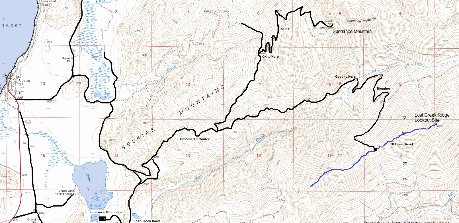
Find your way onto Lost Creek Road off the East Side Road. Pass the entrance to the Sundance Mountain Lodge. Use map provided. The road is fairly good to the bridge crossing of Lost Creek. After this point, the road has some rough rocky spots and water bars. I would recommend high clearance but you could likely do without 4 wheel-drive.
Access
Route





Blue Mountain and Mount Casey
Atlasta Mountain
Looking North
Looking South
Looking East over Priest Lake
Sunset over Sundance Mountain
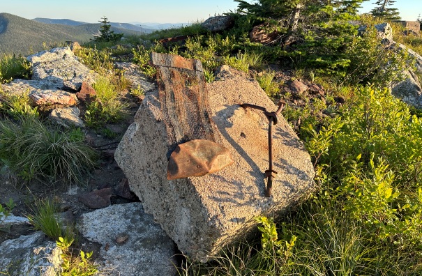
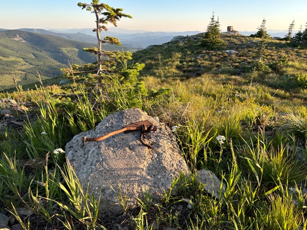
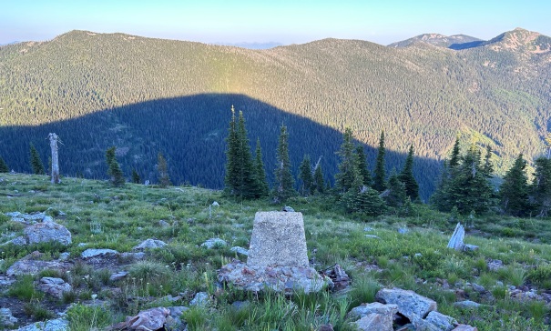
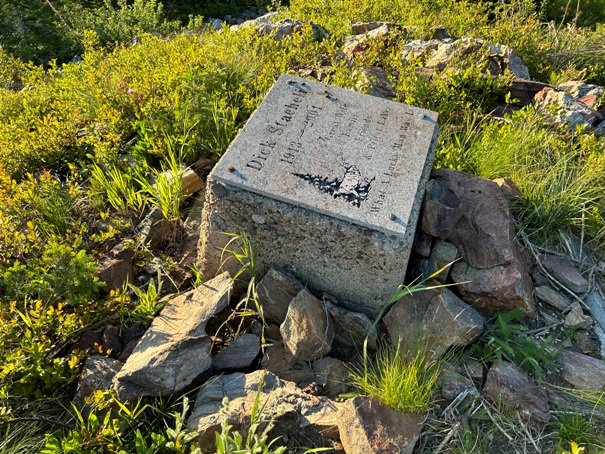
Lookout footing with someones memorial bolted on top
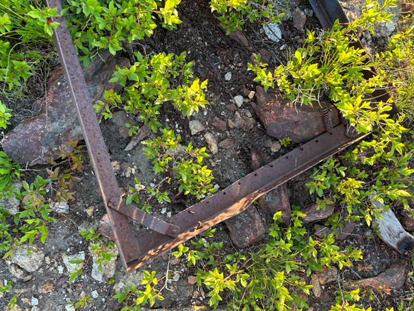
Footing two
Footing three
Footing four
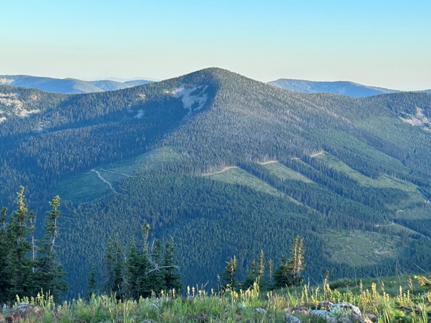
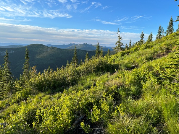
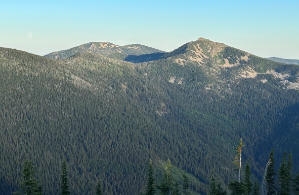
Views on way up
Bed one
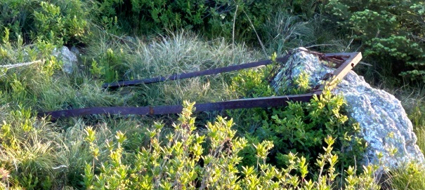
Bed two
ATV trail near the parking area
ATV trail further up the ridge
Lost Creek Ridge 1932
Sunset with the Sundance Mountain Lookout watching over
Map shows both Sundance Mountain Lookout site and Lost Creek Ridge Lookout Site


